|
|
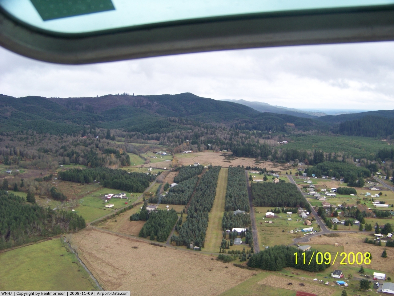
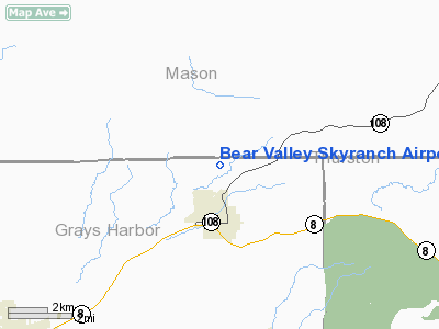
Bear Valley Skyranch Airport |
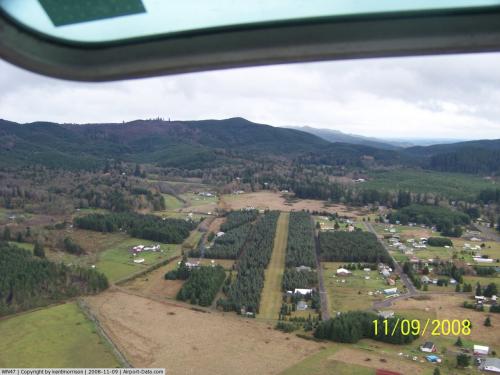 |
(Click on the photo to enlarge) |
Location & QuickFacts
| FAA Information Effective: | 2008-09-25 |
| Airport Identifier: | WN47 |
| Airport Status: | Operational |
| Longitude/Latitude: | 123-16-13.0000W/47-04-54.0000N
-123.270278/47.081667 (Estimated) |
| Elevation: | 344 ft / 104.85 m (Estimated) |
| Land: | 25 acres |
| From nearest city: | 2 nautical miles N of Mc Cleary, WA |
| Location: | Grays Harbor County, WA |
| Magnetic Variation: | 20E (1985) |
Owner & Manager
| Ownership: | Privately owned |
| Owner: | Kent Morrison |
| Address: | Po Box 12712
Olympia, WA 98508 |
| Phone number: | 360-866-8414 |
| Manager: | Kent Morrison |
| Address: | Po Box 12712
Olympia, WA 98508 |
| Phone number: | 360-866-8414 |
Airport Operations and Facilities
| Airport Use: | Private |
| Wind indicator: | Yes |
| Segmented Circle: | No |
| Control Tower: | No |
| Landing fee charge: | No |
| Sectional chart: | Seattle |
| Region: | ANM - Northwest Mountain |
| Boundary ARTCC: | ZSE - Seattle |
| Tie-in FSS: | SEA - Seattle |
| FSS on Airport: | No |
| FSS Toll Free: | 1-800-WX-BRIEF |
Runway Information
Runway 04/22
| Dimension: | 2600 x 80 ft / 792.5 x 24.4 m |
| Surface: | TURF, |
| |
Runway 04 |
Runway 22 |
| Traffic Pattern: | Left | Left |
| Obstruction: | | 300 ft hill, 5300.0 ft from runway |
|
Radio Navigation Aids
| ID |
Type |
Name |
Ch |
Freq |
Var |
Dist |
| MNC | NDB | Mason County | | 348.00 | 19E | 12.5 nm |
| CAN | NDB | Carney | | 274.00 | 20E | 26.5 nm |
| GR | NDB | Graye | | 216.00 | 18E | 27.5 nm |
| LAC | NDB | Lacomas | | 328.00 | 18E | 29.6 nm |
| PWT | NDB | Kitsap | | 206.00 | 20E | 32.4 nm |
| TDO | NDB | Toledo | | 219.00 | 20E | 40.9 nm |
| ODD | NDB | Dondo | | 224.00 | 19E | 42.8 nm |
| RNT | NDB | Renton | | 353.00 | 20E | 49.7 nm |
| OLM | VORTAC | Olympia | 081X | 113.40 | 19E | 16.5 nm |
| TCM | VORTAC | Mcchord | 033X | 109.60 | 22E | 32.8 nm |
| HQM | VORTAC | Hoquiam | 124X | 117.70 | 19E | 36.9 nm |
| SEA | VORTAC | Seattle | 115X | 116.80 | 19E | 44.6 nm |
| SEA | VOT | Seattle-tacoma | | 117.50 | | 45.0 nm |
| BFI | VOT | Boeing Field | | 108.60 | | 47.7 nm |
Remarks
- RWY 04/22 +1700' HILL 1 NM NORTH OF RWY.
- WATCH FOR ANIMALS/PEOPLE ON RWY.
Images and information placed above are from
http://www.airport-data.com/airport/WN47/
We thank them for the data!
| General Info
|
| Country |
United States
|
| State |
WASHINGTON
|
| FAA ID |
WN47
|
| Latitude |
47-04-52.342N
|
| Longitude |
123-16-17.553W
|
| Elevation |
100 feet
|
| Near City |
MC CLEARY
|
We don't guarantee the information is fresh and accurate. The data may
be wrong or outdated.
For more up-to-date information please refer to other sources.
|
|