|
|
Auburn Municipal Airport
Auburn Airport |
 |
| IATA: none – ICAO: none – FAA LID: S50 |
| Summary |
| Airport type |
Public |
| Owner |
City of Auburn |
| Operator |
Airport Management Group |
| Serves |
Auburn, Washington |
| Location |
Auburn, Washington |
| Elevation AMSL |
63 ft / 19.2 m |
| Coordinates |
47°19′39″N 122°13′35″W / 47.3275°N 122.22639°W / 47.3275; -122.22639 |
| Website |
http://www.s50wa.com |
| Runways |
| Direction |
Length |
Surface |
| ft |
m |
| 16/34 |
3,400 |
1,036 |
Asphalt |
| Statistics (2005) |
| Aircraft operations |
164,539 |
| Based aircraft |
300 |
| Source: Federal Aviation Administration |
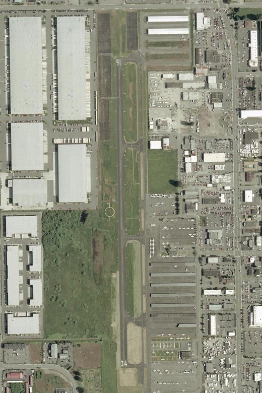
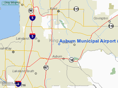
The Auburn Municipal Airport (FAA LID: S50) is a city-owned public-use airport located 2 nautical miles (3.7 km) north of downtown Auburn, in King County, Washington. The airport is also referred to as the Dick Scobee Field, after Francis "Dick" Scobee, an Auburn and Washington native who was the commander astronaut for the space shuttle, Challenger. Scobee was killed in the 1986 Space Shuttle Challenger disaster.
Facilities and aircraft
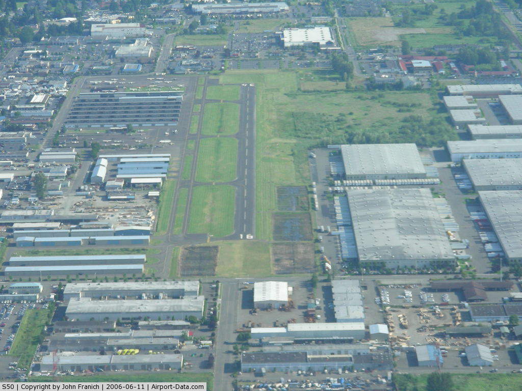
The airport cover an area of 110 acres (45 ha) and contains one asphalt paved runway. Mostly used for general aviation, the airport offers no commercial service. With 300 aircraft based at S50, including 288 single engine and 12 multi-engine aircraft, the Auburn Municipal Airport averages 450 operations per day.
The closest commercial airport outside of Auburn, Washington is the Seattle-Tacoma International Airport, 8 nautical miles (15 km) northwest, in Seattle, Washington.
The above content comes from Wikipedia and is published under free licenses – click here to read more.
 |
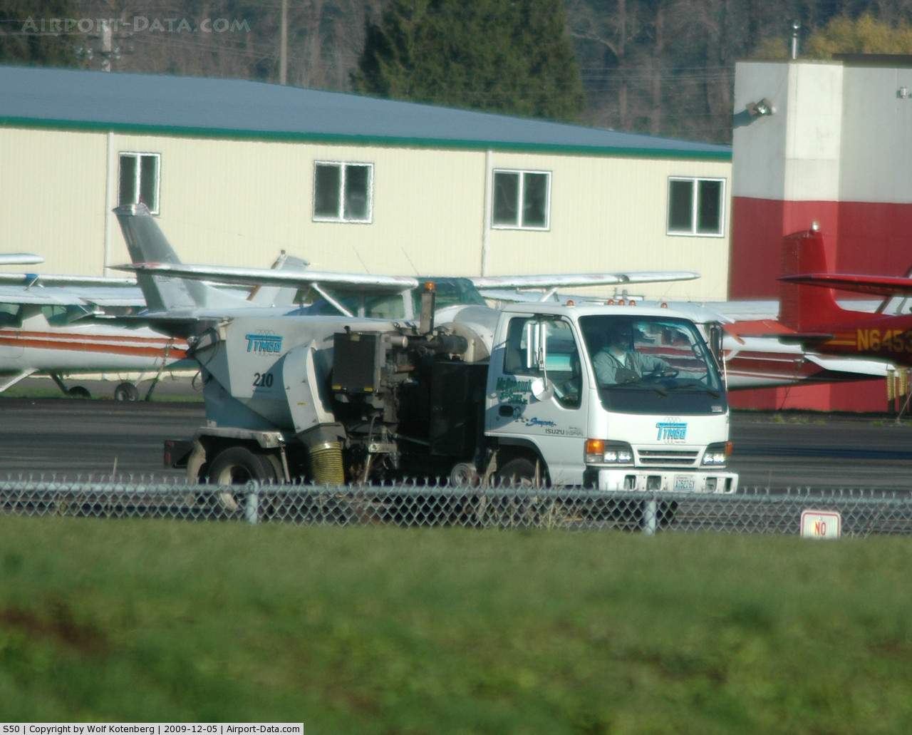
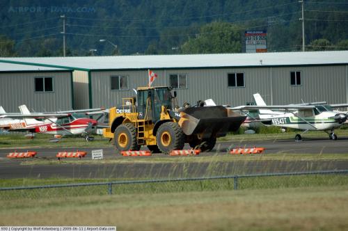
(Click on the photo to enlarge) |
 |
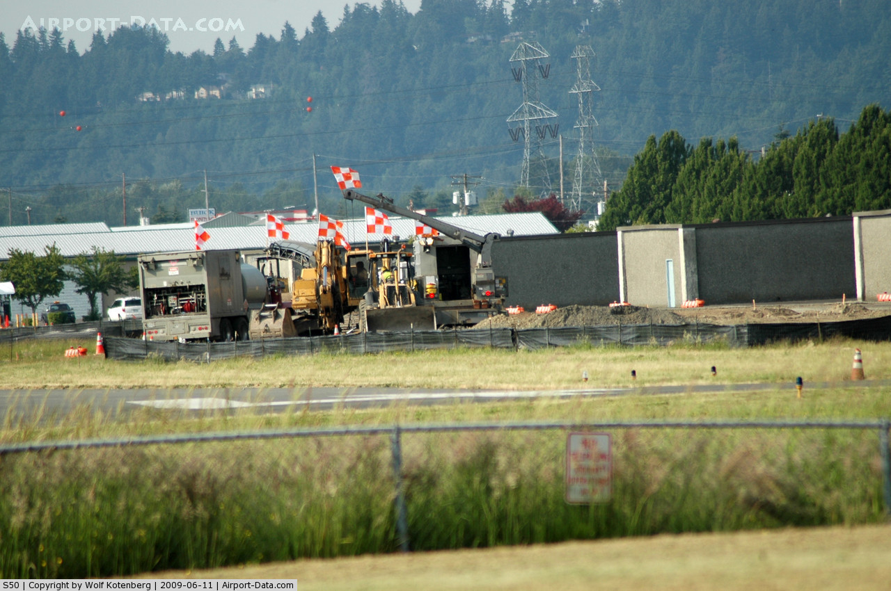
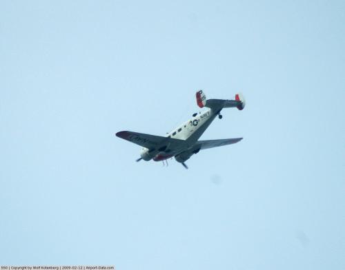
(Click on the photo to enlarge) |
 |
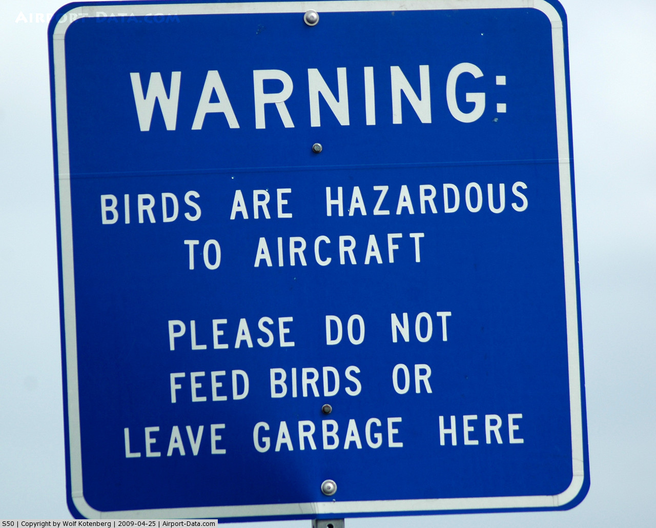
(Click on the photo to enlarge) |
 |
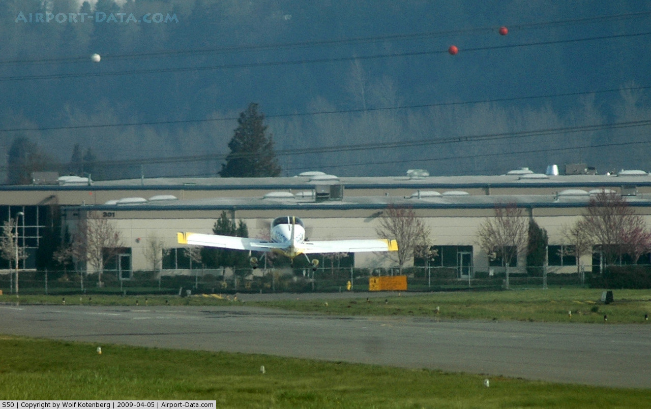
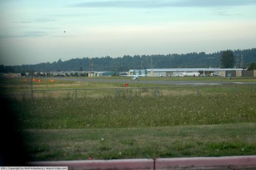
(Click on the photo to enlarge) |
 |
(Click on the photo to enlarge) |
 |
(Click on the photo to enlarge) |
 |
(Click on the photo to enlarge) |
 |
(Click on the photo to enlarge) |
 |
(Click on the photo to enlarge) |
 |
(Click on the photo to enlarge) |
Location & QuickFacts
| FAA Information Effective: | 2008-09-25 |
| Airport Identifier: | S50 |
| Airport Status: | Operational |
| Longitude/Latitude: | 122-13-35.9570W/47-19-39.6640N
-122.226655/47.327684 (Estimated) |
| Elevation: | 63 ft / 19.20 m (Surveyed) |
| Land: | 110 acres |
| From nearest city: | 2 nautical miles N of Auburn, WA |
| Location: | King County, WA |
| Magnetic Variation: | 18E (2005) |
Owner & Manager
| Ownership: | Publicly owned |
| Owner: | City Of Auburn |
| Address: | 25 West Main Street
Auburn, WA 98001 |
| Phone number: | 253-931-3000 |
| Manager: | Mike Shipman
SHELLEY COLEMAN, FINANCE DIRECTOR. |
| Address: | 25 West Main Street
Auburn, WA 98001
AIRPORT ADDRESS: 400 23RD STREET NE, AUBURN, WA 98002 |
| Phone number: | 253-333-6821
CITY HALL PHONE NUMBER: (253) 931-3026 |
Airport Operations and Facilities
| Airport Use: | Open to public |
| Wind indicator: | Yes |
| Segmented Circle: | Yes |
| Control Tower: | No |
| Lighting Schedule: | DUSK-DAWN |
| Beacon Color: | Clear-Green (lighted land airport) |
| Landing fee charge: | No |
| Sectional chart: | Seattle |
| Region: | ANM - Northwest Mountain |
| Traffic Pattern Alt: | 1000 ft |
| Boundary ARTCC: | ZSE - Seattle |
| Tie-in FSS: | SEA - Seattle |
| FSS on Airport: | No |
| FSS Toll Free: | 1-800-WX-BRIEF |
| NOTAMs Facility: | SEA (NOTAM-d service avaliable) |
| Federal Agreements: | NGY |
Airport Communications
| CTAF: | 122.800 |
| Unicom: | 122.800
AUTOMATED UNICOM. |
Airport Services
| Fuel available: | 100LL
FUEL 24 HRS - CREDIT CARD SELF SERVICE. |
| Airframe Repair: | MAJOR |
| Power Plant Repair: | MAJOR |
| Bottled Oxygen: | LOW |
| Bulk Oxygen: | NONE |
Runway Information
Runway 16/34
| Dimension: | 3400 x 75 ft / 1036.3 x 22.9 m |
| Surface: | ASPH, Good Condition |
| Weight Limit: | Single wheel: 12500 lbs. |
| Edge Lights: | Medium |
| |
Runway 16 |
Runway 34 |
| Longitude: | 122-13-36.1300W | 122-13-35.7832W |
| Latitude: | 47-19-56.4300N | 47-19-22.8973N |
| Elevation: | 57.00 ft | 63.00 ft |
| Traffic Pattern: | Right | Left |
| Markings: | Basic, Good Condition | Basic, Good Condition |
| Crossing Height: | 60.00 ft | 53.00 ft |
| VASI: | 4-box on right side | 4-box on left side |
| Visual Glide Angle: | 4.50° | 4.00° |
| Runway End Identifier: | Yes | Yes |
| Obstruction: | 27 ft bldg, 692.0 ft from runway, 88 ft right of centerline, 18:1 slope to clear | 18 ft *, 442.0 ft from runway, 13:1 slope to clear |
|
Radio Navigation Aids
| ID |
Type |
Name |
Ch |
Freq |
Var |
Dist |
| ODD | NDB | Dondo | | 224.00 | 19E | 4.0 nm |
| RNT | NDB | Renton | | 353.00 | 20E | 10.1 nm |
| GR | NDB | Graye | | 216.00 | 18E | 18.8 nm |
| LAC | NDB | Lacomas | | 328.00 | 18E | 23.5 nm |
| PWT | NDB | Kitsap | | 206.00 | 20E | 23.7 nm |
| CAN | NDB | Carney | | 274.00 | 20E | 25.4 nm |
| MNC | NDB | Mason County | | 348.00 | 19E | 35.4 nm |
| PAE | VOR/DME | Paine | 043X | 110.60 | 20E | 35.7 nm |
| SEA | VORTAC | Seattle | 115X | 116.80 | 19E | 7.3 nm |
| TCM | VORTAC | Mcchord | 033X | 109.60 | 22E | 14.8 nm |
| OLM | VORTAC | Olympia | 081X | 113.40 | 19E | 34.9 nm |
| SEA | VOT | Seattle-tacoma | | 117.50 | | 7.6 nm |
| BFI | VOT | Boeing Field | | 108.60 | | 12.4 nm |
Remarks
-
- TWYS ARE ONE-WAY ONLY. USE E TWY NBND, USE W TWY SBND
- ULTRALIGHTS & HOT AIR BALLOONS PROHIBITED.
- PLAN APCHS AND DEPS TO AVOID EXTREMELY NOISE SENSITIVE RESIDENTIAL AREA E OF THE ARPT
Images and information placed above are from
http://www.airport-data.com/airport/S50/
We thank them for the data!
| General Info
|
| Country |
United States
|
| State |
WASHINGTON
|
| FAA ID |
S50
|
| Latitude |
47-19-41.361N
|
| Longitude |
122-13-35.433W
|
| Elevation |
57 feet
|
| Near City |
AUBURN
|
We don't guarantee the information is fresh and accurate. The data may
be wrong or outdated.
For more up-to-date information please refer to other sources.
|
|