 |
|
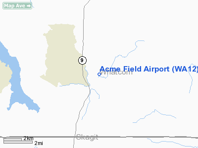
Location & QuickFacts
| FAA Information Effective: | 2008-09-25 |
| Airport Identifier: | WA12 |
| Airport Status: | Operational |
| Longitude/Latitude: | 122-10-39.5660W/48-42-34.4070N
-122.177657/48.709558 (Estimated) |
| Elevation: | 301 ft / 91.74 m (Surveyed) |
| Land: | 0 acres |
| From nearest city: | 1 nautical miles SE of Acme, WA |
| Location: | Whatcom County, WA |
| Magnetic Variation: | 21E (1985) |
Owner & Manager
| Ownership: | Privately owned |
| Owner: | Ellen O'hern & Al Reed
OWNER OF NORTH 700 FEET IS ELLEN O'HERN AND OWNER OF SOUTH 700 FEET IS AL REED. |
| Address: | 3415 Nw 71st St
Seattle, WA 98117 |
| Phone number: | 206-783-8051 |
| Manager: | Al Reed |
| Address: | Po Box 128
Acme, WA 98220 |
| Phone number: | 360-595-2152 |
Airport Operations and Facilities
| Airport Use: | Private |
| Wind indicator: | Yes |
| Segmented Circle: | No |
| Control Tower: | No |
| Landing fee charge: | No |
| Sectional chart: | Seattle |
| Region: | ANM - Northwest Mountain |
| Boundary ARTCC: | ZSE - Seattle |
| Tie-in FSS: | SEA - Seattle |
| FSS on Airport: | No |
| FSS Toll Free: | 1-800-WX-BRIEF |
Airport Services
| Airframe Repair: | NONE |
| Power Plant Repair: | NONE |
Runway Information
Runway N/S
| Dimension: | 1400 x 75 ft / 426.7 x 22.9 m |
| Surface: | TURF, |
| |
Runway N |
Runway S |
| Traffic Pattern: | Right | Left |
| Runway End Identifier: | No | No |
| Touchdown Lights: | No | No |
|
Radio Navigation Aids
| ID |
Type |
Name |
Ch |
Freq |
Var |
Dist |
| BVS | NDB | Skagit/bay View | | 240.00 | 21E | 17.4 nm |
| LU | NDB | Cultus | | 214.00 | 22E | 19.4 nm |
| XX | NDB | Abbotsford | | 344.00 | 21E | 22.1 nm |
| WC | NDB | White Rock | | 332.00 | 21E | 28.2 nm |
| OPZ | NDB | Lopez Island | | 356.00 | 21E | 32.6 nm |
| FHR | NDB | Friday Harbor | | 284.00 | 20E | 35.5 nm |
| VR | NDB | Vancouver | | 266.00 | 21E | 44.5 nm |
| AP | NDB | Active Pass | | 378.00 | 21E | 45.1 nm |
| YJ | NDB | Victoria | | 200.00 | 21E | 48.6 nm |
| NUW | TACAN | Whidbey Island | 085X | | 21E | 28.7 nm |
| CVV | VOR/DME | Penn Cove | 119X | 117.20 | 19E | 35.4 nm |
| PAE | VOR/DME | Paine | 043X | 110.60 | 20E | 47.6 nm |
| HUH | VORTAC | Whatcom | 077X | 113.00 | 20E | 21.3 nm |
| YVR | VORTAC | Vancouver | 44 | 115.90 | 21E | 44.3 nm |
Remarks
- ELECTRIC FENCE AROUND SOUTH 700 FT OF RY.
- NON COMPLIANCE WITH FAR 157.
Images and information placed above are from
http://www.airport-data.com/airport/WA12/
We thank them for the data!
| General Info
|
| Country |
United States
|
| State |
WASHINGTON
|
| FAA ID |
WA12
|
| Latitude |
48-42-34.407N
|
| Longitude |
122-10-39.566W
|
| Elevation |
301 feet
|
| Near City |
ACME
|
We don't guarantee the information is fresh and accurate. The data may
be wrong or outdated.
For more up-to-date information please refer to other sources.
|
|


