 |
|
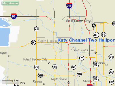
Kutv Channel Two Heliport |
Location & QuickFacts
| FAA Information Effective: | 2008-09-25 |
| Airport Identifier: | UT33 |
| Airport Status: | Operational |
| Longitude/Latitude: | 111-58-34.7800W/40-43-28.8060N
-111.976328/40.724668 (Estimated) |
| Elevation: | 4240 ft / 1292.35 m (Estimated) |
| Land: | 0 acres |
| From nearest city: | 6 nautical miles SW of Salt Lake City, UT |
| Location: | Salt Lake County, UT |
| Magnetic Variation: | 15E (1985) |
Owner & Manager
| Ownership: | Privately owned |
| Owner: | Wells Fargo Center (facility) |
| Address: | Wasatch Commercial Management, 299 South Main #355
Salt Lake City, UT 84111 |
| Phone number: | 501-961-1078 |
| Manager: | Jenny Nielson |
| Address: | 299 South Main #355
Salt Lake City, UT 84111 |
| Phone number: | 501-961-1078 |
Airport Operations and Facilities
| Airport Use: | Private |
| Wind indicator: | Yes |
| Segmented Circle: | No |
| Control Tower: | No |
| Lighting Schedule: | SS-SR |
| Landing fee charge: | No |
| Sectional chart: | Salt Lake City |
| Region: | ANM - Northwest Mountain |
| Boundary ARTCC: | ZLC - Salt Lake City |
| Tie-in FSS: | CDC - Cedar City |
| FSS on Airport: | No |
| FSS Toll Free: | 1-800-WX-BRIEF |
Airport Services
Runway Information
Helipad H1
| Dimension: | 100 x 100 ft / 30.5 x 30.5 m |
| Surface: | CONC, |
| Edge Lights: | Medium |
| |
Runway H1 |
Runway |
| Traffic Pattern: | Left | Left |
|
Radio Navigation Aids
| ID |
Type |
Name |
Ch |
Freq |
Var |
Dist |
| TVY | NDB | Tooele | | 371.00 | 13E | 18.3 nm |
| BMC | NDB | Brigham City | | 294.00 | 16E | 47.8 nm |
| HIF | TACAN | Hill | 049X | | 14E | 23.8 nm |
| PVU | VOR/DME | Provo | 021X | 108.40 | 15E | 32.8 nm |
| TCH | VORTAC | Wasatch | 115X | 116.80 | 16E | 7.6 nm |
| FFU | VORTAC | Fairfield | 113X | 116.60 | 16E | 27.1 nm |
| OGD | VORTAC | Ogden | 104X | 115.70 | 14E | 30.5 nm |
| SLC | VOT | Salt Lake City | | 111.00 | | 6.3 nm |
Remarks
- ARR HEL SHALL ESTAB RDO COM WITH SLC APCH CTL PRIOR TO ENTERING THE SLC ARPT TFC AREA. ARR RTE/ALT MUST BE APV BY SLC APCH CTL. HEL DEPARTING THE KUTV HELI SHALL PROVIDE SLC ATCT WITH RQSTD DEP RTE/ALT PRIOR TO DEP AND MAINT TWO-WAY RDO COM WITHN THE SLC ARPT TFC AREA.
Images and information placed above are from
http://www.airport-data.com/airport/UT33/
We thank them for the data!
| General Info
|
| Country |
United States
|
| State |
UTAH
|
| FAA ID |
UT33
|
| Latitude |
40-43-28.806N
|
| Longitude |
111-58-34.780W
|
| Elevation |
4240 feet
|
| Near City |
SALT LAKE CITY
|
We don't guarantee the information is fresh and accurate. The data may
be wrong or outdated.
For more up-to-date information please refer to other sources.
|
|


