 |
|
Location & QuickFacts
| FAA Information Effective: | 2008-09-25 |
| Airport Identifier: | UT74 |
| Airport Status: | Operational |
| Longitude/Latitude: | 110-10-01.0000W/37-38-54.0000N
-110.166944/37.648333 (Estimated) |
| Elevation: | 5372 ft / 1637.39 m (Estimated) |
| Land: | 10 acres |
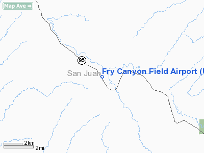
| From nearest city: | 1 nautical miles NW of Fry Canyon, UT |
| Location: | San Juan County, UT |
| Magnetic Variation: | 13E (1995) |
Owner & Manager
| Ownership: | Publicly owned |
| Owner: | Bureau Of Land Management |
| Address: | Po Box 7
Monticello, UT 34535 |
| Phone number: | 435-587-1515 |
| Manager: | Craig Bigler |
| Address: | 90 West Center Street
Moab, UT 84532 |
| Phone number: | 435-259-4100 |
Airport Operations and Facilities
| Airport Use: | Private
PRIVATE USE OF PUBLIC LAND. |
| Wind indicator: | Yes |
| Segmented Circle: | No |
| Control Tower: | No |
| Sectional chart: | Denver |
| Region: | ANM - Northwest Mountain |
| Boundary ARTCC: | ZDV - Denver |
| Tie-in FSS: | CDC - Cedar City |
| FSS on Airport: | No |
| FSS Toll Free: | 1-800-WX-BRIEF |
Runway Information
Runway 12/30
| Dimension: | 3160 x 120 ft / 963.2 x 36.6 m |
| Surface: | DIRT, |
| |
Runway 12 |
Runway 30 |
| Traffic Pattern: | Left | Right |
| Obstruction: | 480 ft , 1500.0 ft from runway | |
|
Radio Navigation Aids
| ID |
Type |
Name |
Ch |
Freq |
Var |
Dist |
Remarks
Images and information placed above are from
http://www.airport-data.com/airport/UT74/
We thank them for the data!
| General Info
|
| Country |
United States
|
| State |
UTAH
|
| FAA ID |
UT74
|
| Latitude |
37-38-54.000N
|
| Longitude |
110-10-01.000W
|
| Elevation |
5372 feet
|
| Near City |
FRY CANYON
|
We don't guarantee the information is fresh and accurate. The data may
be wrong or outdated.
For more up-to-date information please refer to other sources.
|
|


