|
|
 |
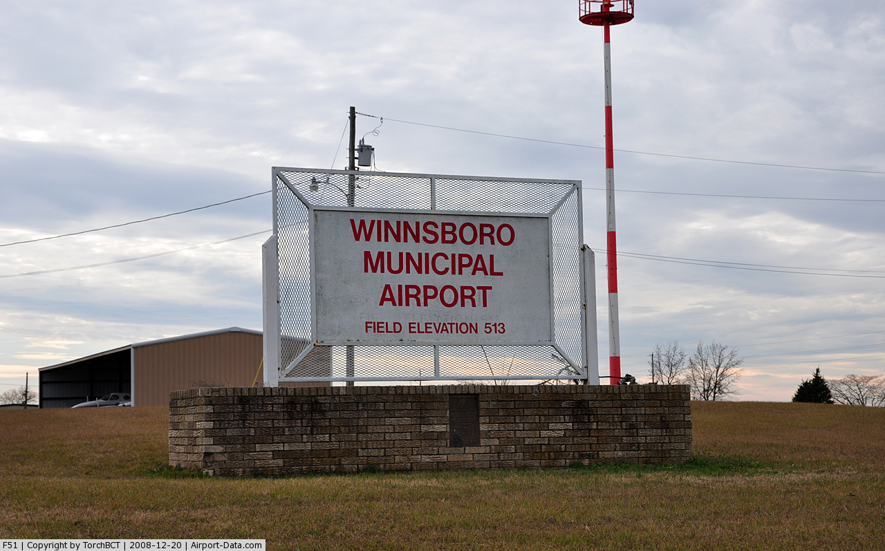
(Click on the photo to enlarge) |
Location & QuickFacts
| FAA Information Effective: | 2008-09-25 |
| Airport Identifier: | F51 |
| Airport Status: | Operational |
| Longitude/Latitude: | 095-16-43.8990W/32-56-19.8440N
-95.278861/32.938846 (Estimated) |
| Elevation: | 513 ft / 156.36 m (Surveyed) |
| Land: | 32 acres |
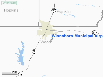
| From nearest city: | 2 nautical miles SE of Winnsboro, TX |
| Location: | Wood County, TX |
| Magnetic Variation: | 08E (1965) |
Owner & Manager
| Ownership: | Publicly owned |
| Owner: | City Of Winnsboro |
| Address: | 501 South Main
Winnsboro, TX 75494 |
| Phone number: | 903-342-3654 |
| Manager: | Ronny Knight
INTERIM CITY MGR. |
| Address: | 501 South Main
Winnsboro, TX 75494 |
| Phone number: | 903-342-3654 |
Airport Operations and Facilities
| Airport Use: | Open to public |
| Wind indicator: | Yes |
| Segmented Circle: | Yes |
| Control Tower: | No |
| Lighting Schedule: | DUSK-DAWN
ACTVT MIRL RY 01/19 - CTAF. |
| Beacon Color: | Clear-Green (lighted land airport) |
| Landing fee charge: | No |
| Sectional chart: | Dallas-ft Worth |
| Region: | ASW - Southwest |
| Boundary ARTCC: | ZFW - Fort Worth |
| Tie-in FSS: | FTW - Fort Worth |
| FSS on Airport: | No |
| FSS Phone: | 817-541-3474 |
| FSS Toll Free: | 1-800-WX-BRIEF |
| NOTAMs Facility: | FTW (NOTAM-d service avaliable) |
| Federal Agreements: | N |
Airport Communications
Airport Services
| Fuel available: | 100LLMOGAS
FUEL AVBL 24 HRS SELF SERVICE WITH CREDIT CARD. |
| Airframe Repair: | MINOR |
| Power Plant Repair: | MINOR |
| Bottled Oxygen: | NONE |
| Bulk Oxygen: | NONE |
Runway Information
Runway 01/19
| Dimension: | 3213 x 50 ft / 979.3 x 15.2 m |
| Surface: | ASPH, Good Condition |
| Weight Limit: | Single wheel: 12000 lbs. |
| Edge Lights: | Medium |
| |
Runway 01 |
Runway 19 |
| Longitude: | 095-16-49.7370W | 095-16-38.1080W |
| Latitude: | 32-56-04.6590N | 32-56-34.9010N |
| Elevation: | 493.00 ft | 513.00 ft |
| Alignment: | 18 | 127 |
| Traffic Pattern: | Right | Left |
| Markings: | Non-precision instrument, Good Condition | Non-precision instrument, Good Condition |
| Obstruction: | 25 ft trees, 825.0 ft from runway, 25:1 slope to clear | 21 ft trees, 410.0 ft from runway, 120 ft left of centerline, 10:1 slope to clear |
|
Radio Navigation Aids
| ID |
Type |
Name |
Ch |
Freq |
Var |
Dist |
| ABG | NDB | Ambassador | | 404.00 | 07E | 22.8 nm |
| LST | NDB | Lone Star | | 305.00 | 05E | 27.0 nm |
| TY | NDB | Tyler | | 320.00 | 06E | 32.9 nm |
| SYW | NDB | Cash | | 428.00 | 05E | 39.8 nm |
| MII | NDB | Caddo Mills | | 316.00 | 06E | 49.3 nm |
| HNO | NDB | Henderson | | 371.00 | 06E | 49.9 nm |
| MJF | TACAN | Arvilla | 033X | | 05E | 40.2 nm |
| UIM | VOR/DME | Quitman | 087X | 114.00 | 08E | 5.7 nm |
| SLR | VOR/DME | Sulphur Springs | 027X | 109.00 | 08E | 20.5 nm |
| TYR | VOR/DME | Tyler | 089X | 114.20 | 06E | 35.6 nm |
| PRX | VOR/DME | Paris | 083X | 113.60 | 07E | 37.3 nm |
| GGG | VORTAC | Gregg County | 070X | 112.30 | 07E | 41.1 nm |
Images and information placed above are from
http://www.airport-data.com/airport/F51/
We thank them for the data!
| General Info
|
| Country |
United States
|
| State |
TEXAS
|
| FAA ID |
F51
|
| Latitude |
32-56-19.844N
|
| Longitude |
095-16-43.899W
|
| Elevation |
513 feet
|
| Near City |
WINNSBORO
|
We don't guarantee the information is fresh and accurate. The data may
be wrong or outdated.
For more up-to-date information please refer to other sources.
|
|