 |
|
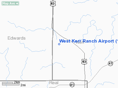
Location & QuickFacts
| FAA Information Effective: | 2008-09-25 |
| Airport Identifier: | 18TA |
| Airport Status: | Operational |
| Longitude/Latitude: | 099-44-37.2250W/30-08-10.7310N
-99.743674/30.136314 (Estimated) |
| Elevation: | 2330 ft / 710.18 m (Estimated) |
| Land: | 0 acres |
| From nearest city: | 23 nautical miles S of Junction, TX |
| Location: | Kerr County, TX |
| Magnetic Variation: | 08E (1985) |
Owner & Manager
| Ownership: | Privately owned |
| Owner: | R.b. Trull |
| Address: | Po Box W
Palacios, TX 77465 |
| Phone number: | 512-972-2537 |
| Manager: | R.b. Trull |
| Address: | Po Box W
Palacios, TX 77465 |
| Phone number: | 512-972-2537 |
Airport Operations and Facilities
| Airport Use: | Private |
| Wind indicator: | No |
| Segmented Circle: | No |
| Control Tower: | No |
| Landing fee charge: | No |
| Sectional chart: | San Antonio |
| Region: | ASW - Southwest |
| Boundary ARTCC: | ZHU - Houston |
| Tie-in FSS: | SJT - San Angelo |
| FSS on Airport: | No |
| FSS Toll Free: | 1-800-WX-BRIEF |
Runway Information
Runway 16/34
| Dimension: | 4500 x 48 ft / 1371.6 x 14.6 m |
| Surface: | ASPH, |
| |
Runway 16 |
Runway 34 |
| Traffic Pattern: | Left | Left |
|
Radio Navigation Aids
| ID |
Type |
Name |
Ch |
Freq |
Var |
Dist |
| ER | NDB | Shein | | 263.00 | 08E | 40.5 nm |
| JCT | VORTAC | Junction | 107X | 116.00 | 08E | 28.0 nm |
| RSG | VORTAC | Rocksprings | 049X | 111.20 | 10E | 29.8 nm |
| CSI | VORTAC | Center Point | 122X | 117.50 | 08E | 30.4 nm |
Images and information placed above are from
http://www.airport-data.com/airport/18TA/
We thank them for the data!
| General Info
|
| Country |
United States
|
| State |
TEXAS
|
| FAA ID |
18TA
|
| Latitude |
30-08-10.731N
|
| Longitude |
099-44-37.225W
|
| Elevation |
2330 feet
|
| Near City |
JUNCTION
|
We don't guarantee the information is fresh and accurate. The data may
be wrong or outdated.
For more up-to-date information please refer to other sources.
|
|


