|
|
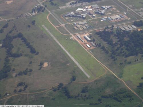 |
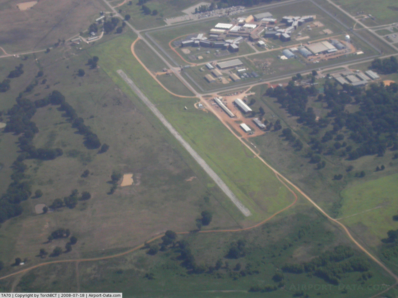
(Click on the photo to enlarge) |
Location & QuickFacts
| FAA Information Effective: | 2008-09-25 |
| Airport Identifier: | TA70 |
| Airport Status: | Operational |
| Longitude/Latitude: | 095-53-50.8650W/31-47-00.6060N
-95.897463/31.783502 (Estimated) |
| Elevation: | 251 ft / 76.50 m (Estimated) |
| Land: | 0 acres |
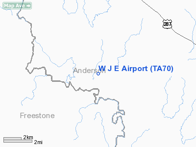
| From nearest city: | 4 nautical miles SW of Tennessee Colony, TX |
| Location: | Anderson County, TX |
| Magnetic Variation: | 06E (1985) |
Owner & Manager
| Ownership: | Publicly owned |
| Owner: | Texas Dept Of Corrections |
| Address: | Box 99
Huntsville, TX 77340 |
| Phone number: | 713-295-6371 |
| Manager: | Dean W. Hamm |
| Address: | Box 99
Huntsville, TX 77340 |
| Phone number: | 713-295-6371 |
Airport Operations and Facilities
| Airport Use: | Private |
| Wind indicator: | Yes |
| Segmented Circle: | No |
| Control Tower: | No |
| Landing fee charge: | No |
| Sectional chart: | Houston |
| Region: | ASW - Southwest |
| Boundary ARTCC: | ZFW - Fort Worth |
| Tie-in FSS: | CXO - Montgomery County |
| FSS on Airport: | No |
| FSS Toll Free: | 1-800-WX-BRIEF |
Runway Information
Runway 17/35
| Dimension: | 3000 x 70 ft / 914.4 x 21.3 m |
| Surface: | CONC, |
| |
Runway 17 |
Runway 35 |
| Traffic Pattern: | Left | Left |
|
Radio Navigation Aids
| ID |
Type |
Name |
Ch |
Freq |
Var |
Dist |
| PSN | NDB | Palestine | | 375.00 | 04E | 10.0 nm |
| LIQ | NDB | Lochridge Ranch | | 335.00 | 09E | 13.9 nm |
| PYF | NDB | Pyramid | | 418.00 | 06E | 16.0 nm |
| CSZ | NDB | Crossroads | | 215.00 | 08E | 17.1 nm |
| AHX | NDB | Athens | | 269.00 | 06E | 22.8 nm |
| CRS | NDB | Corsicana | | 396.00 | 06E | 29.3 nm |
| CGQ | NDB | Powell | | 344.00 | 06E | 31.9 nm |
| LXY | NDB | Mexia | | 329.00 | 07E | 32.6 nm |
| JSO | NDB | Cherokee County | | 263.00 | 05E | 35.2 nm |
| TY | NDB | Tyler | | 320.00 | 06E | 43.8 nm |
| FZT | VOR/DME | Frankston | 051X | 111.40 | 06E | 25.6 nm |
| GNL | VOR/DME | Groesbeck | 025X | 108.80 | 05E | 35.5 nm |
| TYR | VOR/DME | Tyler | 089X | 114.20 | 06E | 42.6 nm |
| CQY | VORTAC | Cedar Creek | 095X | 114.80 | 06E | 29.2 nm |
| LOA | VORTAC | Leona | 045X | 110.80 | 08E | 39.8 nm |
Images and information placed above are from
http://www.airport-data.com/airport/TA70/
We thank them for the data!
| General Info
|
| Country |
United States
|
| State |
TEXAS
|
| FAA ID |
TA70
|
| Latitude |
31-47-00.606N
|
| Longitude |
095-53-50.865W
|
| Elevation |
251 feet
|
| Near City |
TENNESSEE COLONY
|
We don't guarantee the information is fresh and accurate. The data may
be wrong or outdated.
For more up-to-date information please refer to other sources.
|
|