 |
|
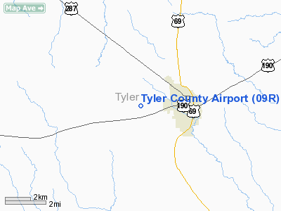
Location & QuickFacts
| FAA Information Effective: | 2008-09-25 |
| Airport Identifier: | 09R |
| Airport Status: | Operational |
| Longitude/Latitude: | 094-27-30.7170W/30-46-30.7220N
-94.458533/30.775201 (Estimated) |
| Elevation: | 388 ft / 118.26 m (Estimated) |
| Land: | 178 acres |
| From nearest city: | 2 nautical miles W of Woodville, TX |
| Location: | Tyler County, TX |
| Magnetic Variation: | 05E (1985) |
Owner & Manager
| Ownership: | Publicly owned |
| Owner: | Tyler County |
| Address: | Tyler Co Courthouse
Woodville, TX 75979 |
| Phone number: | 409-283-2141 |
| Manager: | Joe Marshall
COUNTY COMMISSIONER. |
| Address: | 100 West Bluff, Room A-003
Woodville, TX 75979 |
| Phone number: | 409-283-7623 |
Airport Operations and Facilities
| Airport Use: | Open to public |
| Wind indicator: | Yes |
| Segmented Circle: | Yes |
| Control Tower: | No |
| Lighting Schedule: | DUSK-DAWN
MIRL RY 16/34 PRESET LOW INTST; TO INCR INTST ACTVT - 122.8. |
| Beacon Color: | Clear-Green (lighted land airport) |
| Landing fee charge: | No |
| Sectional chart: | Houston |
| Region: | ASW - Southwest |
| Boundary ARTCC: | ZHU - Houston |
| Tie-in FSS: | CXO - Montgomery County |
| FSS on Airport: | No |
| FSS Toll Free: | 1-800-WX-BRIEF
FOR FP FILING CALL CXO FSS 1-800-833-5602 |
| NOTAMs Facility: | CXO (NOTAM-d service avaliable) |
| Federal Agreements: | 1 |
Airport Communications
Airport Services
| Airframe Repair: | MAJOR |
| Power Plant Repair: | MAJOR |
| Bottled Oxygen: | NONE |
| Bulk Oxygen: | NONE |
Runway Information
Runway 16/34
| Dimension: | 4000 x 60 ft / 1219.2 x 18.3 m |
| Surface: | ASPH, Good Condition |
| Weight Limit: | Single wheel: 30000 lbs. |
| Edge Lights: | Medium |
| |
Runway 16 |
Runway 34 |
| Traffic Pattern: | Left | Left |
| Markings: | Basic, Good Condition | Basic, Good Condition |
| Crossing Height: | 38.00 ft | 0.00 ft |
| Displaced threshold: | 178.00 ft | 0.00 ft |
| VASI: | 2-light PAPI on left side | |
| Visual Glide Angle: | 3.00° | 0.00° |
| Obstruction: | 40 ft trees, 1440.0 ft from runway, 31:1 slope to clear
APCH RATIO 35:1 FM DSPLCD THLD; 40 FT TREES 1418 FT FM DSPLCD THLD BOTH SIDES OF CNTRLN.
10 FT TREES 45 FT FM RY END, 65 FT RIGHT OF EXTENDED CNTRLN. | 55 ft trees, 2065.0 ft from runway, 225 ft right of centerline, 33:1 slope to clear |
|
Radio Navigation Aids
| ID |
Type |
Name |
Ch |
Freq |
Var |
Dist |
| JAS | NDB | Jasper | | 344.00 | 04E | 24.4 nm |
| HRD | NDB | Hardin County | | 524.00 | 04E | 28.2 nm |
| GDE | NDB | Goodhue | | 368.00 | 07E | 44.4 nm |
| OC | NDB | Nados | | 253.00 | 05E | 44.8 nm |
| LFK | VORTAC | Lufkin | 058X | 112.10 | 05E | 26.8 nm |
| DAS | VORTAC | Daisetta | 116X | 116.90 | 05E | 36.5 nm |
Remarks
- RY 16 SAFETY AREA OBSTRUCTION: 5' DROP-OFF 25' FM WEST SIDE 400' SOUTH OF THR & 20' DROP-OFF 100' NORTH OF THR.
Images and information placed above are from
http://www.airport-data.com/airport/09R/
We thank them for the data!
| General Info
|
| Country |
United States
|
| State |
TEXAS
|
| FAA ID |
09R
|
| Latitude |
30-46-30.722N
|
| Longitude |
094-27-30.717W
|
| Elevation |
388 feet
|
| Near City |
WOODVILLE
|
We don't guarantee the information is fresh and accurate. The data may
be wrong or outdated.
For more up-to-date information please refer to other sources.
|
|


