|
|
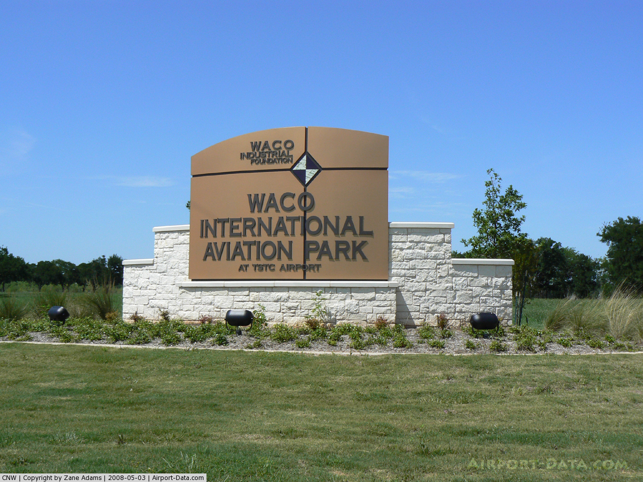
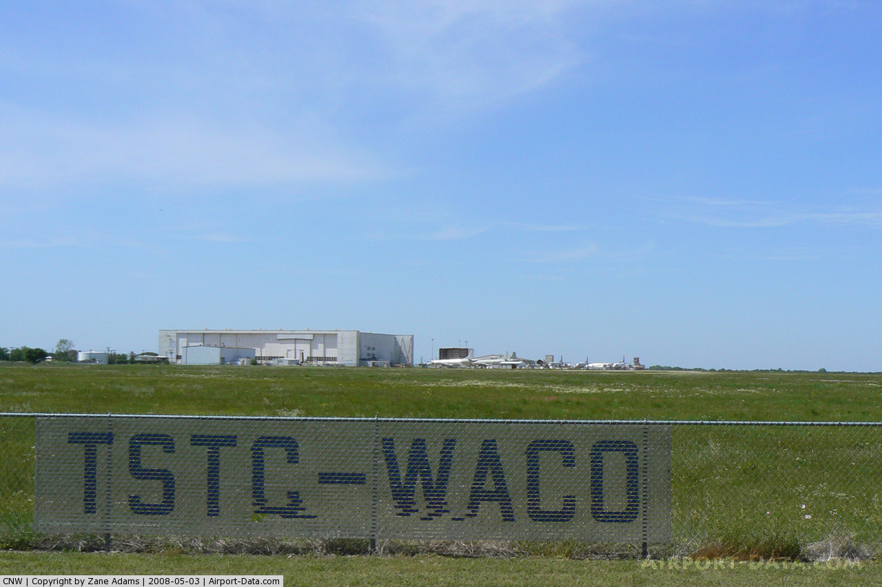
| TSTC Waco Airport |
 |
| IATA: CNW – ICAO: KCNW |
| Summary |
| Airport type |
Public |
| Operator |
Texas State Technical College |
| Location |
Waco, Texas, USA |
| Elevation AMSL |
470 ft / 143.3 m |
| Coordinates |
31°38′16″N 97°04′45″W / 31.63778°N 97.07917°W / 31.63778; -97.07917Coordinates: 31°38′16″N 97°04′45″W / 31.63778°N 97.07917°W / 31.63778; -97.07917 |
| Runways |
| Direction |
Length |
Surface |
| ft |
m |
| 17L/35R |
8,600 |
2,621 |
Asphalt |
| 17R/35L |
6,292 |
1,918 |
Concrete |
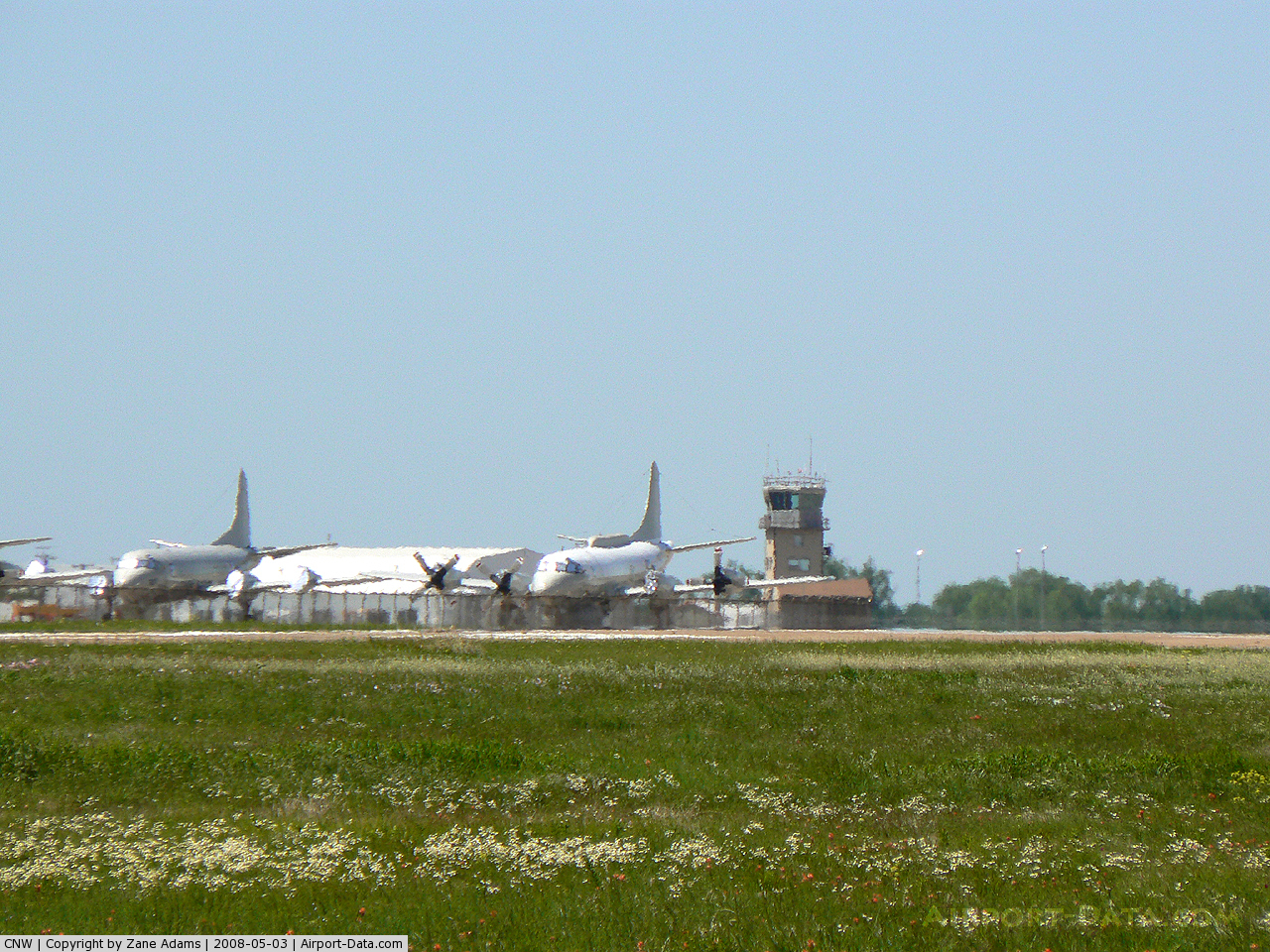
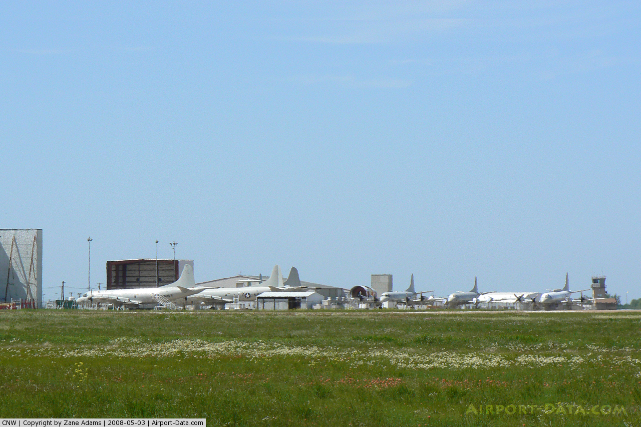
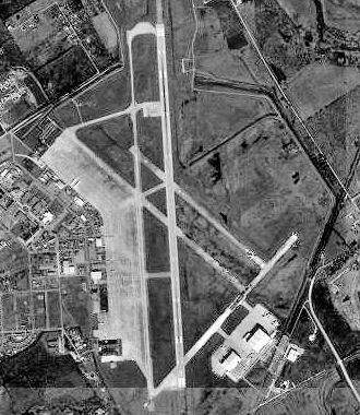
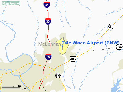
TSTC Waco Airport (IATA: CNW, ICAO: KCNW) is an airport located within city limits, northeast of central Waco, Texas. Before 1968, it was known as James Connally Air Force Base.
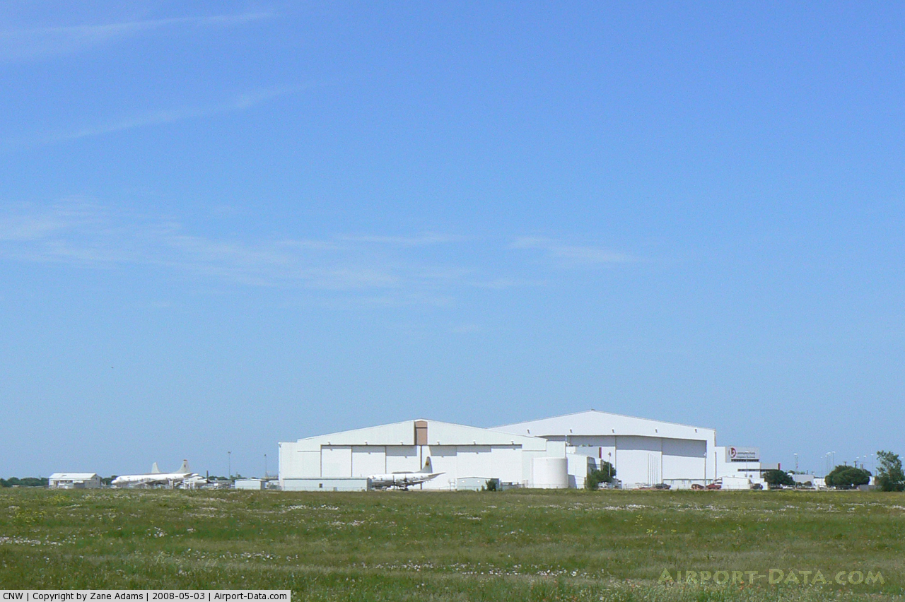
It is currently used as an industrial airpark operated by Texas State Technical College System as well as its Waco campus.
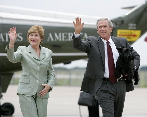
George W. Bush during his Presidency flew in an out of the airport on Air Force One during visits to his home at the Prairie Chapel Ranch. History
Military UseThe airport opened May 5, 1942 as Waco Army Air Field and was the headquarters Army Air Force Central Instructors' School during World War II. It was deactivated after the war in 1945 but was reactivated in 1948 as a pilot training base under the Air Training Command. It was named for Colonel James T. Connally who had been killed in Japan in 1945. The airport was initially called Connally Air Force Base but the name evolved to also include his first name.
In 1957, the base became the headquarters of Twelfth Air Force (12 AF) and concurrently concentrated on providing navigator flight training under the cognizance of the Air Training Command.
In 1968, as part of a nation-wide reduction in air force bases and naval air stations to stay within congressional funding limits while continuing to prosecute the war in Vietnam, James Connally AFB was closed. All navigator training consolidated at Mather Air Force Base, California and 12th Air Force relocated to Bergstrom Air Force Base in Austin, Texas. At this point, the facility was conveyed to the State of Texas by the General Services Administration (GSA).
Civilian Use
 | |
George W. Bush, Laura Bush, and Barney at the airport |
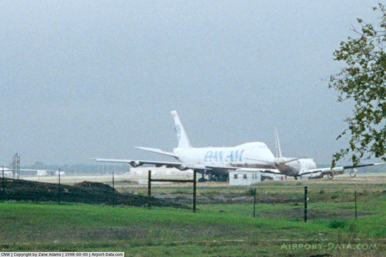
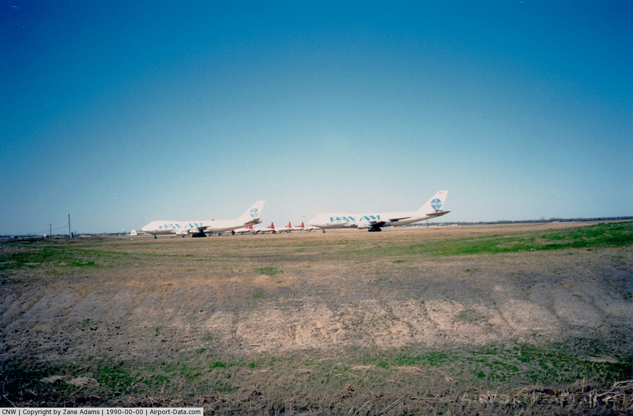
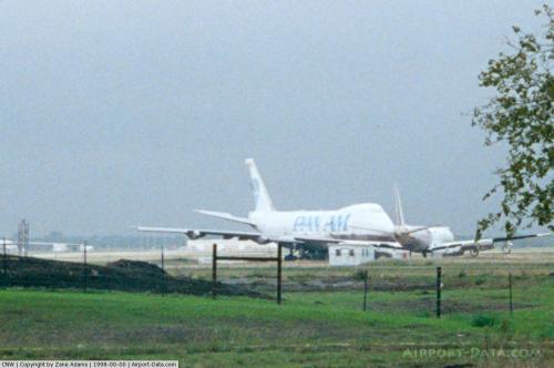
The airport and the base facilities were used as a technical school while General Dynamics remained as a tenant performing modification work on various military aircraft. The General Dynamics facility was later sold and renamed Chrysler Technologies Airborne Systems. Chrysler subsequently sold the operation to Raytheon which renamed the facility Raytheon Aircraft Integration Systems. In 2002, Raytheon sold the facility to L-3 Communications and it is currently known as L-3 Communications Integrated Systems / Waco Integration and Modification Center.
In 1991, TSTI was renamed Texas State Technical College (TSTC).
The above content comes from Wikipedia and is published under free licenses – click here to read more.
 |
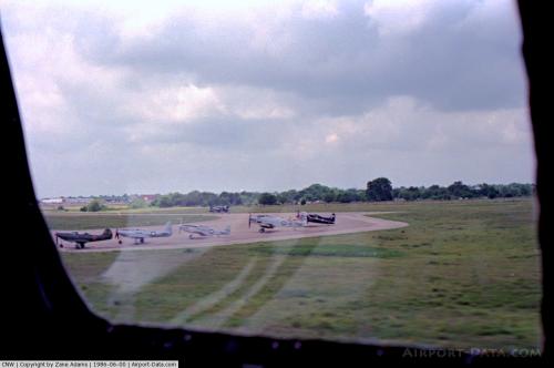
(Click on the photo to enlarge) |
 |
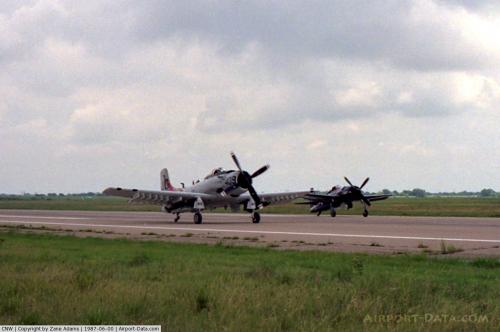
(Click on the photo to enlarge) |
 |
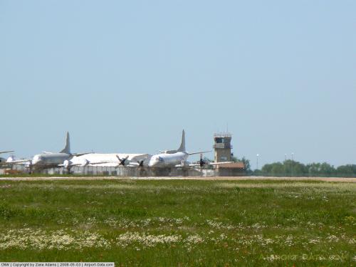
(Click on the photo to enlarge) |
 |
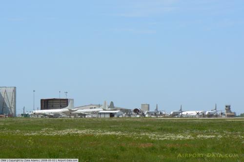
(Click on the photo to enlarge) |
 |
(Click on the photo to enlarge) |
 |
(Click on the photo to enlarge) |
 |
(Click on the photo to enlarge) |
 |
(Click on the photo to enlarge) |
 |
(Click on the photo to enlarge) |
 |
(Click on the photo to enlarge) |
Location & QuickFacts
| FAA Information Effective: | 2008-09-25 |
| Airport Identifier: | CNW |
| Airport Status: | Operational |
| Longitude/Latitude: | 097-04-26.9000W/31-38-16.1000N
-97.074139/31.637806 (Estimated) |
| Elevation: | 470 ft / 143.26 m (Surveyed) |
| Land: | 2200 acres |
| From nearest city: | 8 nautical miles NE of Waco, TX |
| Location: | Mc Lennan County, TX |
| Magnetic Variation: | 07E (1985) |
Owner & Manager
| Ownership: | Publicly owned |
| Owner: | Texas State Tech College |
| Address: | T.s.t.c.
Waco, TX 76705 |
| Phone number: | 254-799-3611 |
| Manager: | Dan Rowan |
| Address: | Tstc, Arpt Mgr
Waco, TX 76705 |
| Phone number: | 254-867-4807 |
Airport Operations and Facilities
| Airport Use: | Open to public |
| Wind indicator: | Yes |
| Segmented Circle: | Yes |
| Control Tower: | Yes |
| Lighting Schedule: | DUSK-DAWN
WHEN ATCT CLSD MIRL RY 17L/35R PRESET LOW INTST; TO INCR INTST & ACTVT MALSR RY 17L & VASI RYS 17L & 35R - 121.7. |
| Beacon Color: | Clear-Green (lighted land airport) |
| Landing fee charge: | No |
| Sectional chart: | San Antonio |
| Region: | ASW - Southwest |
| Boundary ARTCC: | ZFW - Fort Worth |
| Tie-in FSS: | FTW - Fort Worth |
| FSS on Airport: | No |
| FSS Phone: | 817-541-3474 |
| FSS Toll Free: | 1-800-WX-BRIEF |
| NOTAMs Facility: | FTW (NOTAM-d service avaliable) |
| Federal Agreements: | NGY |
Airport Communications
| CTAF: | 124.000 |
| Unicom: | 122.950 |
Airport Services
| Fuel available: | 100LLA |
| Airframe Repair: | MINOR |
| Power Plant Repair: | MINOR |
Runway Information
Runway 17L/35R
| Dimension: | 8600 x 150 ft / 2621.3 x 45.7 m |
| Surface: | ASPH, Good Condition |
| Weight Limit: | Single wheel: 50000 lbs.
Dual wheel: 200000 lbs.
Dual tandem wheel: 450000 lbs. |
| Edge Lights: | Medium |
| |
Runway 17L |
Runway 35R |
| Longitude: | 097-04-25.7230W | 097-04-21.4656W |
| Latitude: | 31-39-05.7479N | 31-37-40.7219N |
| Elevation: | 470.00 ft | 456.00 ft |
| Alignment: | 127 | 127 |
| ILS Type: | ILS
| |
| Traffic Pattern: | Left | Right |
| Markings: | Precision instrument, Fair Condition | Precision instrument, Fair Condition |
| Crossing Height: | 53.00 ft | 39.00 ft |
| VASI: | 4-box on right side | 4-box on left side |
| Visual Glide Angle: | 3.00° | 3.00° |
| Approach lights: | MALSR | |
|
Runway 17R/35L
| Dimension: | 6292 x 150 ft / 1917.8 x 45.7 m |
| Surface: | CONC, Good Condition |
| Weight Limit: | Single wheel: 25000 lbs.
Dual wheel: 76000 lbs.
Dual tandem wheel: 140000 lbs. |
| |
Runway 17R |
Runway 35L |
| Longitude: | 097-04-33.0003W | 097-04-29.8763W |
| Latitude: | 31-38-37.5352N | 31-37-35.3293N |
| Elevation: | 467.00 ft | 460.00 ft |
| Alignment: | 127 | 127 |
| Traffic Pattern: | Right | Left |
| Markings: | Basic, Good Condition | Basic, Good Condition |
| Obstruction: | , 50:1 slope to clear | 41 ft tree, 1025.0 ft from runway, 320 ft left of centerline, 20:1 slope to clear |
|
Radio Navigation Aids
| ID |
Type |
Name |
Ch |
Freq |
Var |
Dist |
| ROB | NDB | Robinson | | 400.00 | 07E | 8.1 nm |
| LXY | NDB | Mexia | | 329.00 | 07E | 28.8 nm |
| CGQ | NDB | Powell | | 344.00 | 06E | 41.8 nm |
| CRS | NDB | Corsicana | | 396.00 | 06E | 41.8 nm |
| HLR | NDB | Hood | | 347.00 | 07E | 44.8 nm |
| PYF | NDB | Pyramid | | 418.00 | 06E | 46.8 nm |
| IL | NDB | Iresh | | 278.00 | 07E | 49.2 nm |
| GR | NDB | Starn | | 323.00 | 07E | 50.0 nm |
| GNL | VOR/DME | Groesbeck | 025X | 108.80 | 05E | 27.1 nm |
| TPL | VOR/DME | Temple | 041X | 110.40 | 09E | 31.4 nm |
| ACT | VORTAC | Waco | 100X | 115.30 | 09E | 10.1 nm |
Remarks
- EXTV ACR FLT TRNG IN ARPT TFC AREA SFC TO 3000' AGL.
- AREAS NOT VISIBLE FM THE ATCT AT THE SOUTH END OF THE ARPT.
- AUXILIARY POWER UNIT AVBL FOR JET ACFT.
- RY 17R/35L CLSD SS-SR; AVBL NIGHT FOR TAXIING ONLY.
- NIGHT OPNS 24 HRS ADVANCE NOTICE CALL 254-867-3866.
- SEASONAL MIGRATORY BIRDS & WATERFOWL.
- RADIO BLIND SPOTS AT THE SOUTH END OF THE ARPT.
Images and information placed above are from
http://www.airport-data.com/airport/CNW/
We thank them for the data!
| General Info
|
| Country |
United States
|
| State |
TEXAS
|
| FAA ID |
CNW
|
| Latitude |
31-38-16.193N
|
| Longitude |
097-04-26.900W
|
| Elevation |
470 feet
|
| Near City |
WACO
|
We don't guarantee the information is fresh and accurate. The data may
be wrong or outdated.
For more up-to-date information please refer to other sources.
|
|