|
|
 |
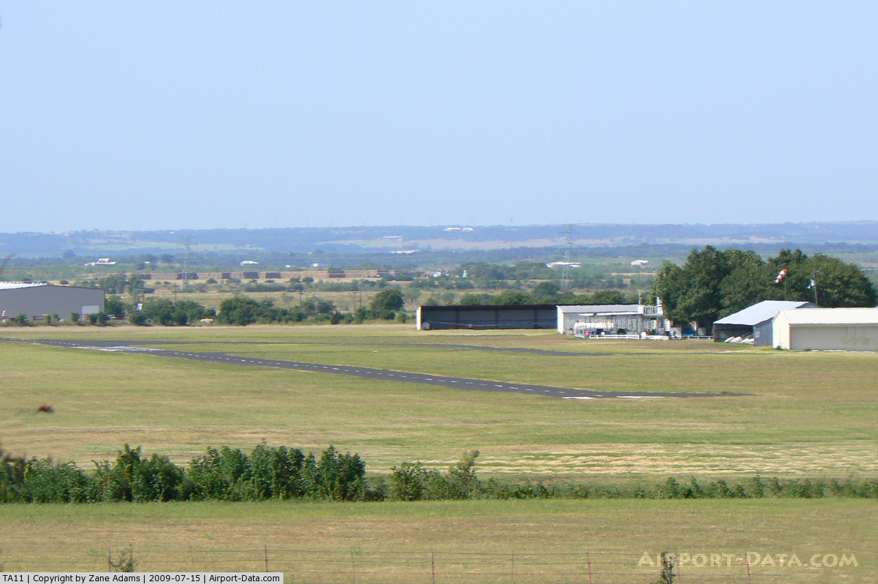
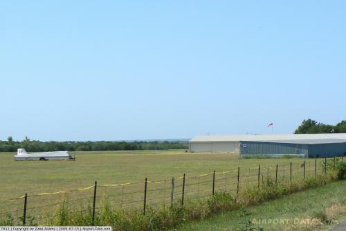
(Click on the photo to enlarge) |
 |
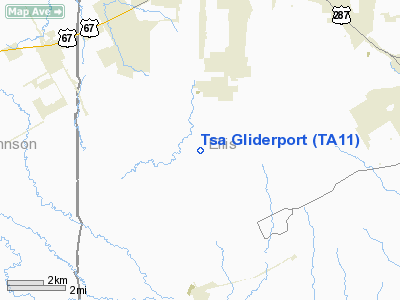
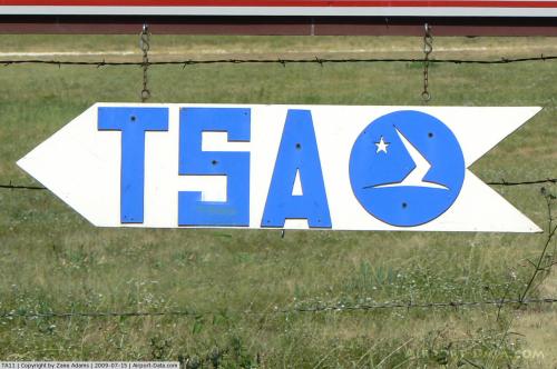
(Click on the photo to enlarge) |
 |
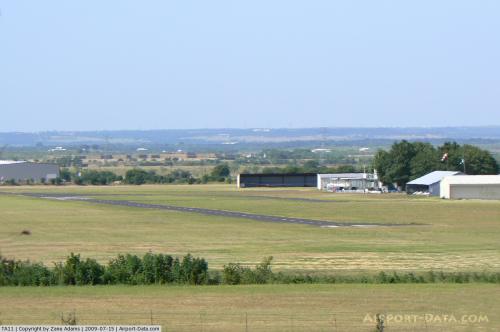
(Click on the photo to enlarge) |
 |
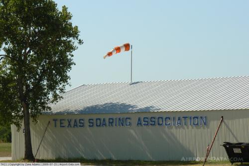
(Click on the photo to enlarge) |
Location & QuickFacts
| FAA Information Effective: | 2008-09-25 |
| Airport Identifier: | TA11 |
| Airport Status: | Operational |
| Longitude/Latitude: | 097-00-51.0130W/32-23-00.5110N
-97.014170/32.383475 (Estimated) |
| Elevation: | 660 ft / 201.17 m (Estimated) |
| Land: | 22 acres |
| From nearest city: | 5 nautical miles SE of Midlothian, TX |
| Location: | Ellis County, TX |
| Magnetic Variation: | 06E (1985) |
Owner & Manager
| Ownership: | Privately owned |
| Owner: | Texas Soaring Association |
| Address: | P.o. Box 1069
Midlothian, TX 76065 |
| Phone number: | 214-775-8803 |
| Manager: | Tsa President |
| Address: | P.o. Box 1069
Midlothian, TX 76065 |
| Phone number: | 214-775-8803 |
Airport Operations and Facilities
| Airport Use: | Private |
| Wind indicator: | Yes |
| Segmented Circle: | No |
| Control Tower: | No |
| Landing fee charge: | No |
| Sectional chart: | Dallas-ft Worth |
| Region: | ASW - Southwest |
| Boundary ARTCC: | ZFW - Fort Worth |
| Tie-in FSS: | FTW - Fort Worth |
| FSS on Airport: | No |
| FSS Phone: | 817-541-3474 |
| FSS Toll Free: | 1-800-WX-BRIEF |
Runway Information
Runway 18/36
| Dimension: | 4300 x 400 ft / 1310.6 x 121.9 m |
| Surface: | TURF, |
| |
Runway 18 |
Runway 36 |
| Traffic Pattern: | Left | Right |
|
Radio Navigation Aids
| ID |
Type |
Name |
Ch |
Freq |
Var |
Dist |
| XQH | NDB | Cedar Hill | | 353.00 | 08E | 12.6 nm |
| LNC | NDB | Lancaster | | 239.00 | 06E | 18.9 nm |
| RBD | NDB | Redbird | | 287.00 | 06E | 19.1 nm |
| JUG | NDB | Jecca | | 388.00 | 06E | 29.8 nm |
| CGQ | NDB | Powell | | 344.00 | 06E | 35.5 nm |
| PQF | NDB | Mesquite | | 248.00 | 06E | 35.5 nm |
| CRS | NDB | Corsicana | | 396.00 | 06E | 38.1 nm |
| AVZ | NDB | Travis | | 260.00 | 06E | 44.9 nm |
| NFW | TACAN | Nas Jrb Fort Worth | 024X | | 07E | 31.7 nm |
| TTT | VOR/DME | Maverick | 078X | 113.10 | 06E | 29.2 nm |
| CVE | VOR/DME | Cowboy | 109X | 116.20 | 06E | 31.0 nm |
| FUZ | VORTAC | Ranger | 104X | 115.70 | 06E | 31.5 nm |
| CQY | VORTAC | Cedar Creek | 095X | 114.80 | 06E | 42.2 nm |
| ACT | VORTAC | Waco | 100X | 115.30 | 09E | 45.3 nm |
| JEN | VORTAC | Glen Rose | 097X | 115.00 | 06E | 45.9 nm |
| DAL | VOT | Dallas Love Field | | 113.30 | | 29.1 nm |
| FTW | VOT | Fort Worth Meacham | | 108.20 | | 31.4 nm |
Remarks
Images and information placed above are from
http://www.airport-data.com/airport/TA11/
We thank them for the data!
| General Info
|
| Country |
United States
|
| State |
TEXAS
|
| FAA ID |
TA11
|
| Latitude |
32-23-00.511N
|
| Longitude |
097-00-51.013W
|
| Elevation |
660 feet
|
| Near City |
MIDLOTHIAN
|
We don't guarantee the information is fresh and accurate. The data may
be wrong or outdated.
For more up-to-date information please refer to other sources.
|
|