 |
|
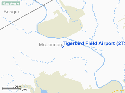
Location & QuickFacts
| FAA Information Effective: | 2008-09-25 |
| Airport Identifier: | 2TS3 |
| Airport Status: | Operational |
| Longitude/Latitude: | 097-14-26.0270W/31-40-45.5870N
-97.240563/31.679330 (Estimated) |
| Elevation: | 450 ft / 137.16 m (Estimated) |
| Land: | 0 acres |
| From nearest city: | 10 nautical miles N of Waco, TX |
| Location: | Mc Lennan County, TX |
| Magnetic Variation: | 07E (1990) |
Owner & Manager
| Ownership: | Privately owned |
| Owner: | Mike Frey Jr |
| Address: | Rt 1 Box 389
Alvin, TX 77511 |
| Phone number: | 817-666-0031 |
| Manager: | Michael Frey Iii |
| Address: | Route 3 Box 325e
Waco, TX 76708 |
| Phone number: | 817-836-4288 |
Airport Operations and Facilities
| Airport Use: | Private |
| Wind indicator: | Yes |
| Segmented Circle: | No |
| Control Tower: | No |
| Sectional chart: | San Antonio |
| Region: | ASW - Southwest |
| Boundary ARTCC: | ZFW - Fort Worth |
| Tie-in FSS: | FTW - Fort Worth |
| FSS on Airport: | No |
| FSS Phone: | 817-541-3474 |
| FSS Toll Free: | 1-800-WX-BRIEF |
Runway Information
Runway 15/33
| Dimension: | 2100 x 50 ft / 640.1 x 15.2 m |
| Surface: | TURF, |
| |
Runway 15 |
Runway 33 |
| Traffic Pattern: | Left | Left |
| Obstruction: | 35 ft plines, 100.0 ft from runway | 35 ft trees, 200.0 ft from runway |
|
Radio Navigation Aids
| ID |
Type |
Name |
Ch |
Freq |
Var |
Dist |
| ROB | NDB | Robinson | | 400.00 | 07E | 13.7 nm |
| LXY | NDB | Mexia | | 329.00 | 07E | 37.3 nm |
| HLR | NDB | Hood | | 347.00 | 07E | 41.0 nm |
| GR | NDB | Starn | | 323.00 | 07E | 44.9 nm |
| IL | NDB | Iresh | | 278.00 | 07E | 46.1 nm |
| MNZ | NDB | Hamilton | | 251.00 | 07E | 46.5 nm |
| CGQ | NDB | Powell | | 344.00 | 06E | 47.5 nm |
| CRS | NDB | Corsicana | | 396.00 | 06E | 48.0 nm |
| TPL | VOR/DME | Temple | 041X | 110.40 | 09E | 29.8 nm |
| GNL | VOR/DME | Groesbeck | 025X | 108.80 | 05E | 35.9 nm |
| GRK | VOR/DME | Gray | 055X | 111.80 | 07E | 48.7 nm |
| ACT | VORTAC | Waco | 100X | 115.30 | 09E | 1.8 nm |
| JEN | VORTAC | Glen Rose | 097X | 115.00 | 06E | 43.5 nm |
Remarks
Images and information placed above are from
http://www.airport-data.com/airport/2TS3/
We thank them for the data!
| General Info
|
| Country |
United States
|
| State |
TEXAS
|
| FAA ID |
2TS3
|
| Latitude |
31-40-45.587N
|
| Longitude |
097-14-26.027W
|
| Elevation |
450 feet
|
| Near City |
WACO
|
We don't guarantee the information is fresh and accurate. The data may
be wrong or outdated.
For more up-to-date information please refer to other sources.
|
|


