|
|
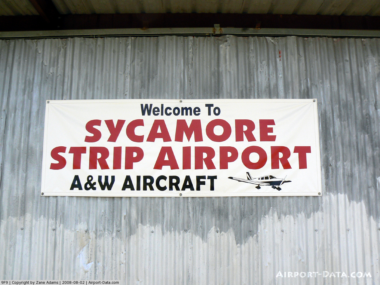
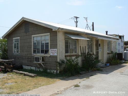
| Sycamore Strip Airport |
| IATA: none – ICAO: none – FAA LID: 9F9 |
| Summary |
| Airport type |
Public |
| Operator |
Connie And Ron Gyure |
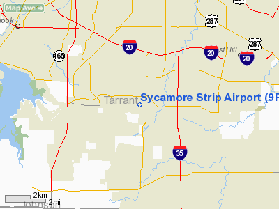
| Location |
Fort Worth, Texas |
| Elevation AMSL |
760 ft / 232 m |
| Coordinates |
32°37′42″N 097°21′13″W / 32.62833°N 97.35361°W / 32.62833; -97.35361Coordinates: 32°37′42″N 097°21′13″W / 32.62833°N 97.35361°W / 32.62833; -97.35361 |
| Runways |
| Direction |
Length |
Surface |
| ft |
m |
| 17/35 |
3,970 |
1,210 |
Asphalt |
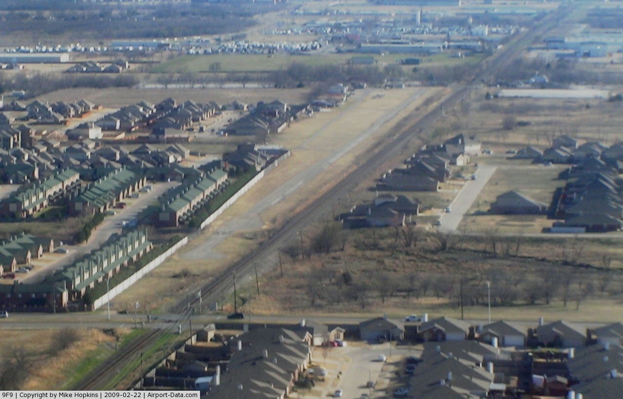
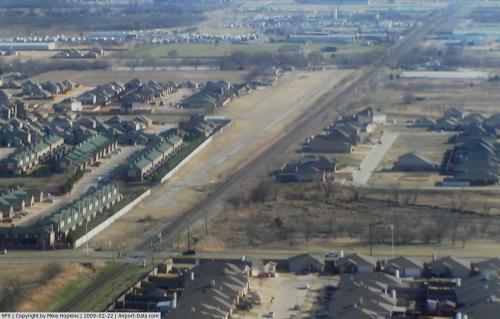
Sycamore Strip Airport (FAA LID: 9F9) is a public airport located eight miles (12.9 km) southwest of the central business district (CBD) of Fort Worth, in Tarrant County, Texas, USA.
The airport is used solely for general aviation purposes including aircraft rental and flight school.
More information available at the airport's website.
Facilities
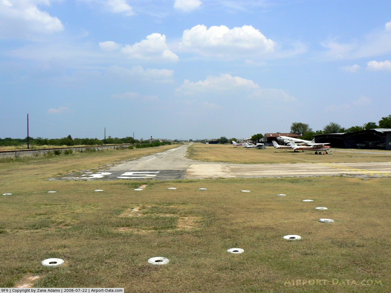
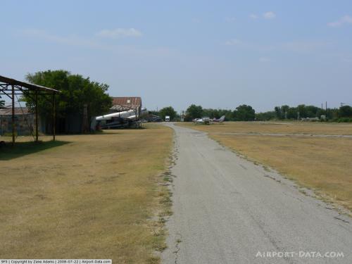
Sycamore Strip Airport has one runway:
- Runway 17/35: 3,970 x 30 ft. (1,210 x 9 m), Surface: Asphalt
The above content comes from Wikipedia and is published under free licenses – click here to read more.
 |
(Click on the photo to enlarge) |
 |
(Click on the photo to enlarge) |
 |
(Click on the photo to enlarge) |
 |
(Click on the photo to enlarge) |
 |
(Click on the photo to enlarge) |
Location & QuickFacts
| FAA Information Effective: | 2008-09-25 |
| Airport Identifier: | 9F9 |
| Airport Status: | Operational |
| Longitude/Latitude: | 097-21-13.0610W/32-37-42.4840N
-97.353628/32.628468 (Estimated) |
| Elevation: | 760 ft / 231.65 m (Estimated) |
| Land: | 16 acres |
| From nearest city: | 8 nautical miles S of Fort Worth, TX |
| Location: | Tarrant County, TX |
| Magnetic Variation: | 07E (1985) |
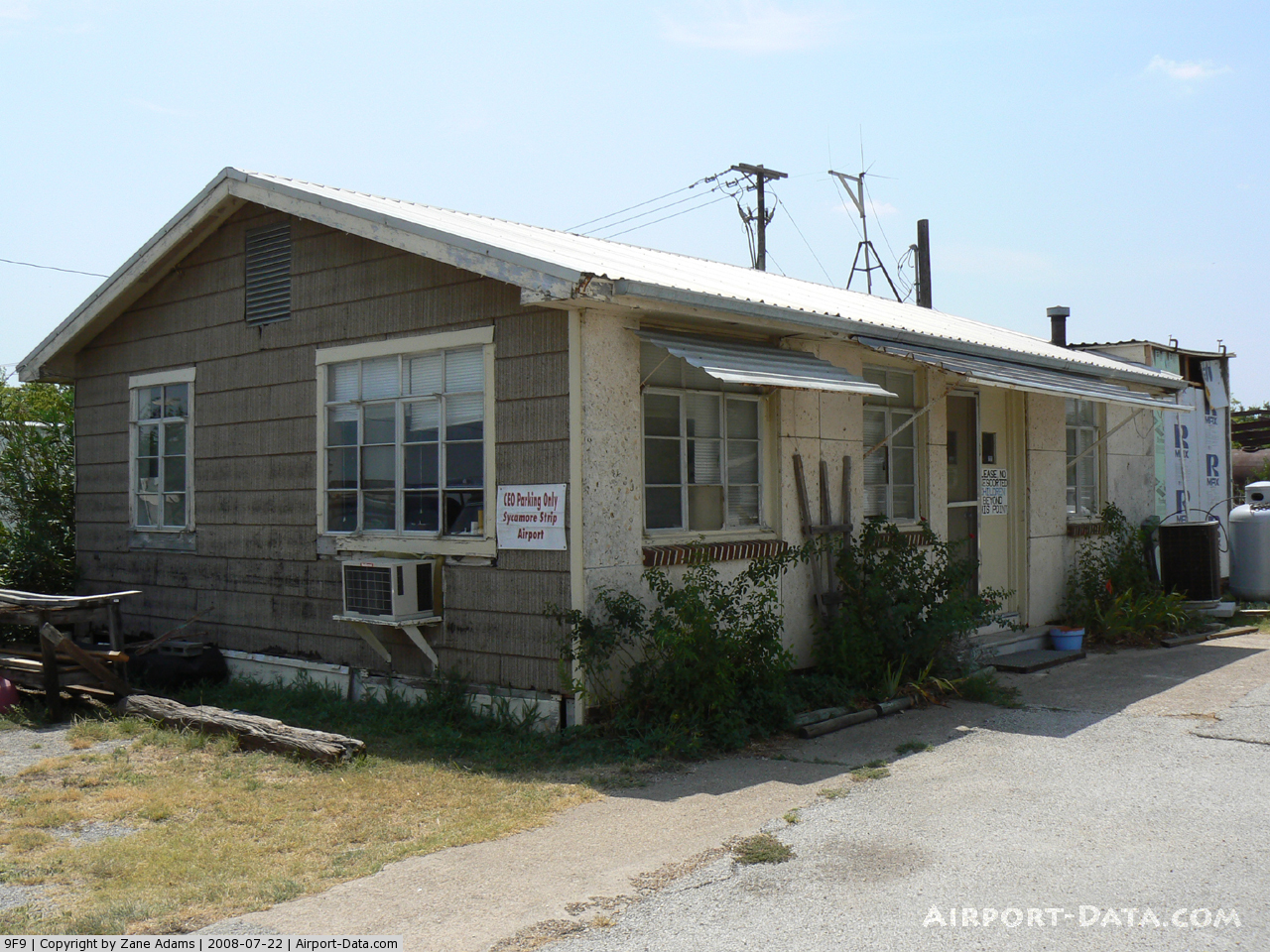
Owner & Manager
| Ownership: | Privately owned |
| Owner: | Connie And Ron Gyure |
| Address: | 2300 Cummingham Street
Fort Worth, TX 76134 |
| Phone number: | 817-293-0510 |
| Manager: | Connie And Ron Gyure |
| Address: | 2300 Cunningham St
Fort Worth, TX 76134 |
| Phone number: | 817-293-0510 |
Airport Operations and Facilities
| Airport Use: | Open to public |
| Wind indicator: | Yes |
| Segmented Circle: | Yes |
| Control Tower: | No |
| Lighting Schedule: | PHONE REQ
FOR LIRL RY 17/35 CALL 817-293-0510. |
| Landing fee charge: | No |
| Sectional chart: | Dallas-ft Worth |
| Region: | ASW - Southwest |
| Traffic Pattern Alt: | 800 ft |
| Boundary ARTCC: | ZFW - Fort Worth |
| Tie-in FSS: | FTW - Fort Worth |
| FSS on Airport: | No |
| FSS Phone: | 817-541-3474 |
| FSS Toll Free: | 1-800-WX-BRIEF |
| NOTAMs Facility: | FTW (NOTAM-d service avaliable) |
Airport Communications
| CTAF: | 122.800 |
| Unicom: | 122.800 |
Airport Services
| Fuel available: | 100LL |
| Bottled Oxygen: | NONE |
| Bulk Oxygen: | NONE |
Runway Information
Runway 17/35
| Dimension: | 3970 x 30 ft / 1210.1 x 9.1 m |
| Surface: | ASPH,
SURFACE ROUGH, BROKEN, RUTTED WITH NUMEROUS LOOSE ROCK AND GRASS. |
| Edge Lights: | Non-standard lighting system
NSTD LIRL - SINGLE WHITE THLD LGT, SINGLE GREEN BULBS EACH SIDE, SPACING NSTD. 2800 FT USEABLE AT NIGHT. RY 17 THLD RELCTD 550 FT AT NIGHT; RY 35 THLD RELCTD 620 FT AT NIGHT. |
| |
Runway 17 |
Runway 35 |
| Traffic Pattern: | Right | Left |
| Markings: | Nonstandard, Fair Condition
RY MARKINGS NOT ACCORDING TO FAA STANDARDS, FADED AND SMALL. | Nonstandard, Fair Condition
RY MARKINGS NOT ACCORDING TO FAA STANDARDS, FADED AND SMALL. |
| Displaced threshold: | 300.00 ft | 0.00 ft |
| Obstruction: | 25 ft rr, 200.0 ft from runway, 75 ft right of centerline
RR 72' RIGHT & PLINE 100' RIGHT OF CNTRLN; 4-5' BRUSH 23' LEFT OF CNTRLN.
APCH RATIO 21:1 FM DSPLCD THR TO PLINE ACROSS APCH; 0:1 TO RR 72' R AT DSPLCD THR.
RR/PLINE PARL & ADJ TO LNDG AREA ON WEST SIDE; RR TRACKS 71' FROM CNTRLN. | 8 ft fence, 200.0 ft from runway, 33 ft left of centerline
FENCE 47' L; RR 95' L; PLINE 130' L.
APCH RATIO 0:1 FM NIGHT RELCTD THLD TO 23 FT RR AT 90 FT LEFT FM THLD.
FENCE/RR/PLINE PARL & ADJ TO LNDG AREA ON WEST SIDE; 4' FENCE 65' FR THR & ROAD 75' FR THR; WIND TEE 20' FROM THR 20' LT OF CNTRLN. |
|
Radio Navigation Aids
| ID |
Type |
Name |
Ch |
Freq |
Var |
Dist |
| XQH | NDB | Cedar Hill | | 353.00 | 08E | 19.2 nm |
| RBD | NDB | Redbird | | 287.00 | 06E | 24.6 nm |
| LNC | NDB | Lancaster | | 239.00 | 06E | 32.1 nm |
| MWL | NDB | Mineral Wells | | 266.00 | 06E | 36.8 nm |
| JUG | NDB | Jecca | | 388.00 | 06E | 41.6 nm |
| PQF | NDB | Mesquite | | 248.00 | 06E | 43.1 nm |
| NFW | TACAN | Nas Jrb Fort Worth | 024X | | 07E | 9.6 nm |
| TTT | VOR/DME | Maverick | 078X | 113.10 | 06E | 21.4 nm |
| CVE | VOR/DME | Cowboy | 109X | 116.20 | 06E | 27.6 nm |
| FUZ | VORTAC | Ranger | 104X | 115.70 | 06E | 18.0 nm |
| MQP | VORTAC | Millsap | 124X | 117.70 | 09E | 33.1 nm |
| JEN | VORTAC | Glen Rose | 097X | 115.00 | 06E | 38.8 nm |
| FTW | VOT | Fort Worth Meacham | | 108.20 | | 11.4 nm |
| DAL | VOT | Dallas Love Field | | 113.30 | | 28.6 nm |
Remarks
- RY 17/35 7 FT FENCE 76 FT EAST OF CNTRLN PARALLEL & ADJ TO RY ON 1730 FT N END OF RY.
- APROP TFC PAT MARKING TO BE DSPLD.
Images and information placed above are from
http://www.airport-data.com/airport/9F9/
We thank them for the data!
| General Info
|
| Country |
United States
|
| State |
TEXAS
|
| FAA ID |
9F9
|
| Latitude |
32-37-42.484N
|
| Longitude |
097-21-13.061W
|
| Elevation |
760 feet
|
| Near City |
FORT WORTH
|
We don't guarantee the information is fresh and accurate. The data may
be wrong or outdated.
For more up-to-date information please refer to other sources.
|
|