 |
|
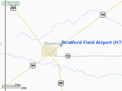
Location & QuickFacts
| FAA Information Effective: | 2008-09-25 |
| Airport Identifier: | H70 |
| Airport Status: | Operational |
| Longitude/Latitude: | 102-02-57.3000W/36-20-44.3000N
-102.049250/36.345639 (Estimated) |
| Elevation: | 3668 ft / 1118.01 m (Surveyed) |
| Land: | 66 acres |
| From nearest city: | 1 nautical miles NE of Stratford, TX |
| Location: | Sherman County, TX |
| Magnetic Variation: | 09E (1985) |
Owner & Manager
| Ownership: | Privately owned |
| Owner: | Skyranchers Inc. |
| Address: | Po Box 960
Stratford, TX 79084 |
| Phone number: | 806-753-7368 |
| Manager: | Randy Lehr |
| Address: | Box 585
Stratford, TX 79084 |
| Phone number: | 806-396-2284 |
Airport Operations and Facilities
| Airport Use: | Open to public |
| Wind indicator: | Yes |
| Segmented Circle: | No |
| Control Tower: | No |
| Lighting Schedule: | DUSK-DAWN |
| Landing fee charge: | No |
| Sectional chart: | Wichita |
| Region: | ASW - Southwest |
| Traffic Pattern Alt: | 1000 ft |
| Boundary ARTCC: | ZAB - Albuquerque |
| Tie-in FSS: | FTW - Fort Worth |
| FSS on Airport: | No |
| FSS Phone: | 817-541-3474 |
| FSS Toll Free: | 1-800-WX-BRIEF |
| NOTAMs Facility: | FTW (NOTAM-d service avaliable) |
Airport Communications
Airport Services
| Airframe Repair: | NONE |
| Power Plant Repair: | NONE |
| Bottled Oxygen: | NONE |
| Bulk Oxygen: | NONE |
Runway Information
Runway 04/22
| Dimension: | 3023 x 32 ft / 921.4 x 9.8 m |
| Surface: | ASPH, Good Condition |
| Weight Limit: | Single wheel: 9000 lbs. |
| Edge Lights: | Non-standard lighting system
NSTD LIRL; LGTS LCTD 33' FM EDGE OF PAVEMENT. |
| |
Runway 04 |
Runway 22 |
| Longitude: | 102-03-12.2560W | 102-02-42.3920W |
| Latitude: | 36-20-35.5320N | 36-20-53.1330N |
| Elevation: | 3668.00 ft | 3652.00 ft |
| Alignment: | 54 | 127 |
| Traffic Pattern: | Left | Left |
| Obstruction: | 15 ft road, 200.0 ft from runway, 50 ft right of centerline
+4' FENCE 112' L OF CNTRLN AT THR; +20' HGR AT THR 80' R CNTRLN. | 15 ft road, 200.0 ft from runway, 35 ft right of centerline
+4' FENCE 112' RIGHT OF CNTRLN AT THR. |
|
Radio Navigation Aids
| ID |
Type |
Name |
Ch |
Freq |
Var |
Dist |
| DUX | NDB | Durrett | | 414.00 | 09E | 29.0 nm |
| BCY | NDB | Thorp | | 212.00 | 10E | 34.0 nm |
| GUY | NDB | Guymon | | 275.00 | 09E | 34.0 nm |
| EHA | NDB | Elkhart | | 377.00 | 10E | 40.2 nm |
| DHT | VORTAC | Dalhart | 057X | 112.00 | 12E | 28.5 nm |
| BGD | VORTAC | Borger | 023X | 108.60 | 11E | 45.8 nm |
Remarks
- SEWAGE TREATMENT PLANT LCTD BETWEEN RWYS.
- RY 04/22 LIRL OTS INDEFLY.
Images and information placed above are from
http://www.airport-data.com/airport/H70/
We thank them for the data!
| General Info
|
| Country |
United States
|
| State |
TEXAS
|
| FAA ID |
H70
|
| Latitude |
36.345639
36° 20' 44.30" N
|
| Longitude |
-102.049250
102° 02' 57.30" W
|
| Elevation |
3668 feet
1118 meters
|
| Magnetic Variation |
007° E (01/06)
|
| Operating Agency |
PRIVATE
|
| Daylight Saving Time |
Second Sunday in March at 0200 to first Sunday in November at 0200 local time (Exception Arizona and that portion of Indiana in the Eastern Time Zone)
|
We don't guarantee the information is fresh and accurate. The data may
be wrong or outdated.
For more up-to-date information please refer to other sources.
|
|


