|
|
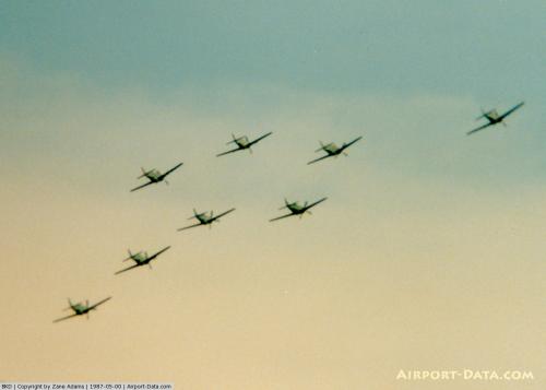 |
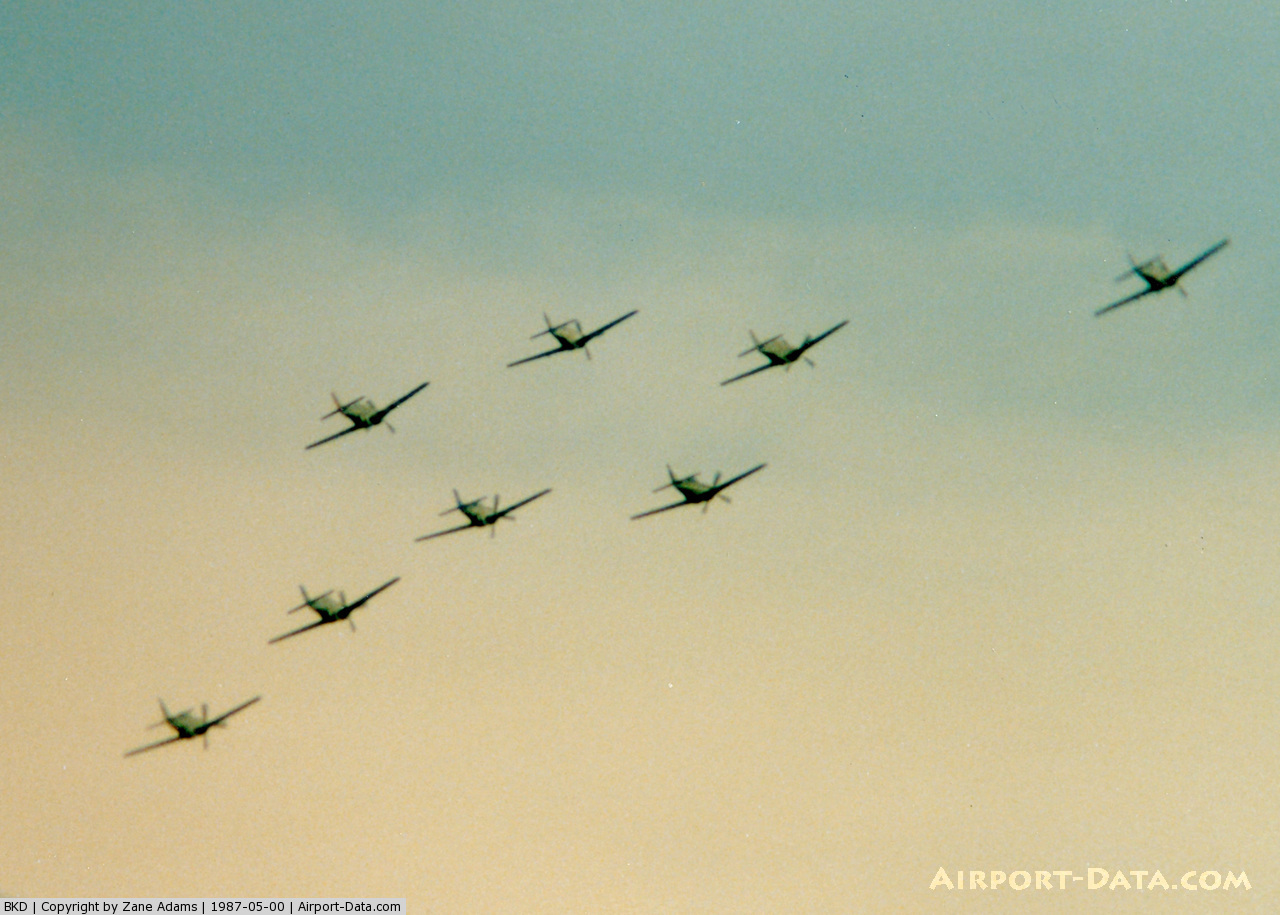
(Click on the photo to enlarge) |
 |
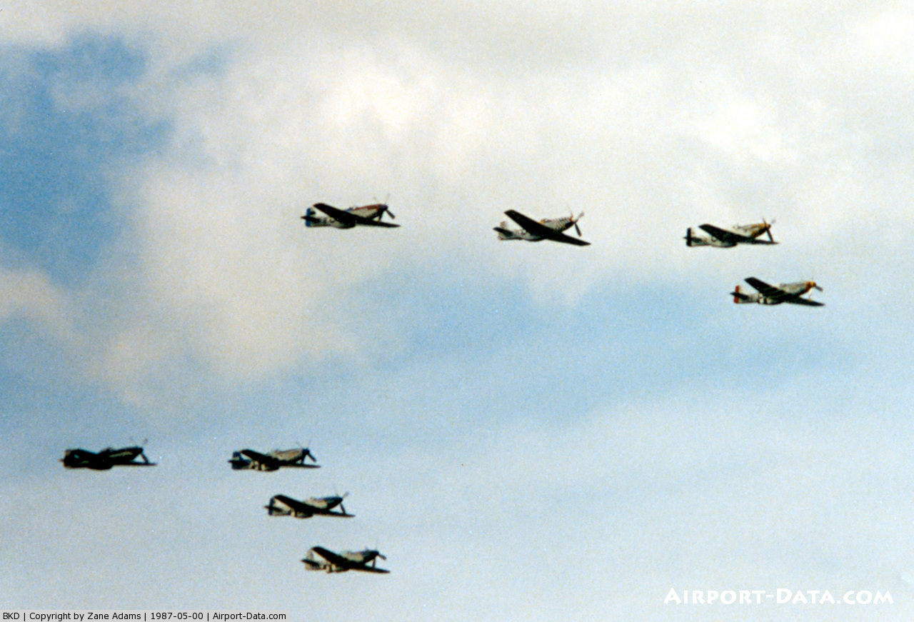
(Click on the photo to enlarge) |
Location & QuickFacts
| FAA Information Effective: | 2008-09-25 |
| Airport Identifier: | BKD |
| Airport Status: | Operational |
| Longitude/Latitude: | 098-53-27.5990W/32-43-08.5690N
-98.891000/32.719047 (Estimated) |
| Elevation: | 1284 ft / 391.36 m (Surveyed) |
| Land: | 144 acres |
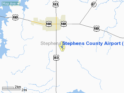
| From nearest city: | 2 nautical miles S of Breckenridge, TX |
| Location: | Stephens County, TX |
| Magnetic Variation: | 07E (1985) |
Owner & Manager
| Ownership: | Publicly owned |
| Owner: | Stephens County |
| Address: | Stephens County Courthouse
Breckenridge, TX 76424 |
| Phone number: | 254-559-2190 |
| Manager: | Gary Fuller, County Judge |
| Address: | Stephens County Courthouse
Breckenridge, TX 76424 |
| Phone number: | 254-559-9129 |
Airport Operations and Facilities
| Airport Use: | Open to public |
| Wind indicator: | Yes |
| Segmented Circle: | Yes |
| Control Tower: | No |
| Lighting Schedule: | DUSK-DAWN |
| Beacon Color: | Clear-Green (lighted land airport) |
| Landing fee charge: | No |
| Sectional chart: | Dallas-ft Worth |
| Region: | ASW - Southwest |
| Boundary ARTCC: | ZFW - Fort Worth |
| Tie-in FSS: | FTW - Fort Worth |
| FSS on Airport: | No |
| FSS Phone: | 817-541-3474 |
| FSS Toll Free: | 1-800-WX-BRIEF |
| NOTAMs Facility: | FTW (NOTAM-d service avaliable) |
| Federal Agreements: | NGY |
Airport Communications
| CTAF: | 122.800 |
| Unicom: | 122.800 |
Airport Services
| Fuel available: | 100LLA |
| Airframe Repair: | MAJOR |
| Power Plant Repair: | MAJOR |
| Bottled Oxygen: | NONE |
Runway Information
Runway 04/22
| Dimension: | 2399 x 50 ft / 731.2 x 15.2 m |
| Surface: | ASPH, Good Condition |
| Weight Limit: | Single wheel: 4000 lbs. |
| |
Runway 04 |
Runway 22 |
| Longitude: | 098-53-40.4690W | 098-53-20.7430W |
| Latitude: | 32-43-00.1790N | 32-43-17.0630N |
| Elevation: | 1263.00 ft | 1254.00 ft |
| Alignment: | 45 | 127 |
| Traffic Pattern: | Left | Left |
| Markings: | Basic, Good Condition | Basic, Good Condition |
| Obstruction: | 20 ft tree, 565.0 ft from runway, 75 ft right of centerline, 18:1 slope to clear
+4' FENCE 150' FM THR ACROSS APCH. | 20 ft trees, 384.0 ft from runway, 105 ft left of centerline, 9:1 slope to clear |
|
Runway 13/31
| Dimension: | 2400 x 50 ft / 731.5 x 15.2 m |
| Surface: | ASPH, Good Condition |
| Weight Limit: | Single wheel: 4000 lbs. |
| |
Runway 13 |
Runway 31 |
| Longitude: | 098-53-43.8040W | 098-53-23.8090W |
| Latitude: | 32-43-14.2060N | 32-42-57.5370N |
| Elevation: | 1247.00 ft | 1273.00 ft |
| Alignment: | 127 | 127 |
| Traffic Pattern: | Left | Left |
| Markings: | Basic, Good Condition | Basic, Good Condition |
| Obstruction: | 15 ft road, 240.0 ft from runway, 125 ft left of centerline, 2:1 slope to clear
+5 FT FENCE 75 FT FM THLD ACROSS APCH. | 5 ft fence, 200.0 ft from runway, 10 ft left of centerline
+5 FT FENCE 150 FT FM THLD ACROSS APCH; +20 FT TREE AT 100 FT 90 FT R CNTRLN. |
|
Runway 17/35
| Dimension: | 4998 x 100 ft / 1523.4 x 30.5 m |
| Surface: | ASPH, Good Condition |
| Weight Limit: | Single wheel: 19000 lbs. |
| Edge Lights: | Medium |
| |
Runway 17 |
Runway 35 |
| Longitude: | 098-53-27.5990W | 098-53-27.1990W |
| Latitude: | 32-43-36.4470N | 32-42-43.0380N |
| Elevation: | 1258.00 ft | 1284.00 ft |
| Alignment: | 127 | 127 |
| Traffic Pattern: | Left | Left |
| Markings: | Non-precision instrument, Good Condition | Non-precision instrument, Good Condition |
| Crossing Height: | 40.00 ft | 40.00 ft |
| VASI: | 2-light PAPI on left side
PAPI OTS INDEFLY. | 2-light PAPI on left side
PAPI OTS INDEFLY. |
| Visual Glide Angle: | 3.00° | 3.00° |
| Obstruction: | 30 ft trees, 850.0 ft from runway, 100 ft right of centerline, 21:1 slope to clear
+10 FT TREE AT 190 FT 95 FT R CNTRLN. | , 50:1 slope to clear
+10 FT TREES 65 FT FM THLD, 150 FT RIGHT. |
|
Radio Navigation Aids
| ID |
Type |
Name |
Ch |
Freq |
Var |
Dist |
| BKD | NDB | Breckenridge | | 245.00 | 07E | 1.7 nm |
| OIP | NDB | Old Rip | | 410.00 | 07E | 19.7 nm |
| GZV | NDB | Brazos River | | 280.00 | 07E | 27.9 nm |
| GHX | NDB | Graham | | 371.00 | 07E | 33.4 nm |
| ONY | NDB | Olney | | 272.00 | 07E | 38.2 nm |
| MWL | NDB | Mineral Wells | | 266.00 | 06E | 42.3 nm |
| TMV | NDB | Stamford | | 290.00 | 08E | 43.5 nm |
| BWD | VOR/DME | Brownwood | 023X | 108.60 | 08E | 49.8 nm |
| MQP | VORTAC | Millsap | 124X | 117.70 | 09E | 45.2 nm |
Images and information placed above are from
http://www.airport-data.com/airport/BKD/
We thank them for the data!
| General Info
|
| Country |
United States
|
| State |
TEXAS
|
| FAA ID |
BKD
|
| Latitude |
32-43-08.569N
|
| Longitude |
098-53-27.599W
|
| Elevation |
1284 feet
|
| Near City |
BRECKENRIDGE
|
We don't guarantee the information is fresh and accurate. The data may
be wrong or outdated.
For more up-to-date information please refer to other sources.
|
|