 |
|
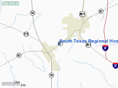
South Texas Rgnl Hospital Heliport |
Location & QuickFacts
| FAA Information Effective: | 2008-09-25 |
| Airport Identifier: | TX87 |
| Airport Status: | Operational |
| Longitude/Latitude: | 098-31-28.0600W/28-55-59.9000N
-98.524461/28.933306 (Estimated) |
| Elevation: | 420 ft / 128.02 m (Estimated) |
| Land: | 0 acres |
| From nearest city: | 2 nautical miles NE of Jourdanton, TX |
| Location: | Atascosa County, TX |
| Magnetic Variation: | 07E (1995) |
Owner & Manager
| Ownership: | Privately owned |
| Owner: | South Texas Regional Hospital |
| Address: | 1901 Hwy 97 East
Jourdanton, TX 78026 |
| Phone number: | 830-769-3515 |
| Manager: | Wayne Schochart |
| Address: | 1901 Hwy 97 East
Jourdanton, TX 78026 |
| Phone number: | 830-769-3515 |
Airport Operations and Facilities
| Airport Use: | Private
MEDICAL USE. |
| Wind indicator: | Yes |
| Segmented Circle: | No |
| Control Tower: | No |
| Lighting Schedule: | DUSK-DAWN |
| Sectional chart: | San Antonio |
| Region: | ASW - Southwest |
| Boundary ARTCC: | ZHU - Houston |
| Tie-in FSS: | SJT - San Angelo |
| FSS Toll Free: | 1-800-WX-BRIEF |
Runway Information
Helipad H1
| Dimension: | 40 x 40 ft / 12.2 x 12.2 m |
| Surface: | ASPH, |
| |
Runway H1 |
Runway |
| Traffic Pattern: | Left | Left |
|
Radio Navigation Aids
| ID |
Type |
Name |
Ch |
Freq |
Var |
Dist |
| PEZ | NDB | Pleasanton | | 275.00 | 07E | 1.3 nm |
| HHH | NDB | Devine | | 359.00 | 07E | 25.0 nm |
| CVB | NDB | Castroville | | 338.00 | 08E | 30.1 nm |
| HMA | NDB | Hondo | | 329.00 | 08E | 43.1 nm |
| KSY | TACAN | Kelly | 057X | | 07E | 27.7 nm |
| DHK | TACAN | Randolph | 036X | | 09E | 38.7 nm |
| SSF | VOR | Stinson | | 108.40 | 09E | 20.0 nm |
| HDO | VOR/DME | Hondo | 31X | 109.40 | 08E | 42.4 nm |
| THX | VORTAC | Three Rivers | 051X | 111.40 | 08E | 32.4 nm |
| RND | VORTAC | Randolph | 70X | 112.30 | 09E | 37.4 nm |
| COT | VORTAC | Cotulla | 105X | 115.80 | 09E | 42.2 nm |
| SAT | VORTAC | San Antonio | 115X | 116.80 | 08E | 42.8 nm |
| SAT | VOT | San Antonio Intl | | 110.40 | | 36.2 nm |
Remarks
- PRVDD PROPONENT MONITORS PEZ ADVISORY FREQ & REMAIN CLEAR OF PEZ TFC PATTERN AIRSPACE.
Images and information placed above are from
http://www.airport-data.com/airport/TX87/
We thank them for the data!
| General Info
|
| Country |
United States
|
| State |
TEXAS
|
| FAA ID |
TX87
|
| Latitude |
28-55-59.900N
|
| Longitude |
098-31-28.060W
|
| Elevation |
420 feet
|
| Near City |
JOURDANTON
|
We don't guarantee the information is fresh and accurate. The data may
be wrong or outdated.
For more up-to-date information please refer to other sources.
|
|


