|
|
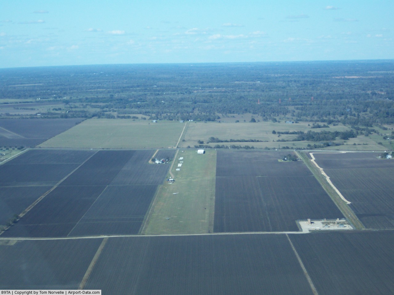
Soaring Club Of Houston Gliderport Airport |
 |
(Click on the photo to enlarge) |
Location & QuickFacts
| FAA Information Effective: | 2008-09-25 |
| Airport Identifier: | 89TA |
| Airport Status: | Operational |
| Longitude/Latitude: | 095-57-47.8400W/30-11-33.7700N
-95.963289/30.192714 (Estimated) |
| Elevation: | 308 ft / 93.88 m (Estimated) |
| Land: | 44 acres |
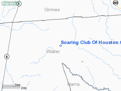
| From nearest city: | 12 nautical miles SW of Waller, TX |
| Location: | Waller County, TX |
| Magnetic Variation: | 05E (1995) |
Owner & Manager
| Ownership: | Privately owned |
| Owner: | Soaring Club Of Houston |
| Address: | 7914 Gulfton
Houston, TX 77036 |
| Phone number: | 713-785-4664 |
| Manager: | Tony Sortino, President |
| Address: | 7914 Gulfton
Houston, TX 77036 |
| Phone number: | 713-351-7800 |
Airport Operations and Facilities
| Airport Use: | Private |
| Wind indicator: | Yes |
| Segmented Circle: | No |
| Control Tower: | No |
| Sectional chart: | Houston |
| Region: | ASW - Southwest |
| Boundary ARTCC: | ZHU - Houston |
| Tie-in FSS: | CXO - Montgomery County |
| FSS on Airport: | No |
| FSS Toll Free: | 1-800-WX-BRIEF |
Runway Information
Runway 17/35
| Dimension: | 3200 x 500 ft / 975.4 x 152.4 m |
| Surface: | TURF, |
| |
Runway 17 |
Runway 35 |
| Traffic Pattern: | Left | Left |
| Obstruction: | | 50 ft trees, 0.0 ft from runway |
|
Radio Navigation Aids
| ID |
Type |
Name |
Ch |
Freq |
Var |
Dist |
| DWH | NDB | David Hooks | | 521.00 | 05E | 21.0 nm |
| BNH | NDB | Brenham | | 362.00 | 06E | 21.4 nm |
| EYQ | NDB | Weiser | | 286.00 | 06E | 22.9 nm |
| LYD | NDB | Lakeside | | 249.00 | 05E | 27.1 nm |
| SGR | NDB | Hull | | 388.00 | 05E | 37.3 nm |
| UTS | NDB | Huntsville | | 308.00 | 06E | 38.2 nm |
| BVP | NDB | Nixin | | 326.00 | 05E | 40.7 nm |
| SYG | NDB | Sandy Point | | 402.00 | 05E | 48.9 nm |
| ELA | VOR/DME | Eagle Lake | 111X | 116.40 | 08E | 36.8 nm |
| HUB | VOR/DME | Hobby | 118X | 117.10 | 05E | 48.2 nm |
| TNV | VORTAC | Navasota | 106X | 115.90 | 08E | 7.6 nm |
| IDU | VORTAC | Industry | 039X | 110.20 | 08E | 34.2 nm |
| CLL | VORTAC | College Station | 080X | 113.30 | 08E | 34.3 nm |
| IAH | VORTAC | Humble | 113X | 116.60 | 05E | 35.1 nm |
| HOU | VOT | Houston Wm P Hobby | | 108.40 | | 48.5 nm |
Remarks
- PRVDD ALL TFC PATTERN OPNS ARE RSTRD TO WEST SIDE OF RY.
Images and information placed above are from
http://www.airport-data.com/airport/89TA/
We thank them for the data!
| General Info
|
| Country |
United States
|
| State |
TEXAS
|
| FAA ID |
89TA
|
| Latitude |
30-11-33.770N
|
| Longitude |
095-57-47.840W
|
| Elevation |
308 feet
|
| Near City |
WALLER
|
We don't guarantee the information is fresh and accurate. The data may
be wrong or outdated.
For more up-to-date information please refer to other sources.
|
|