 |
|
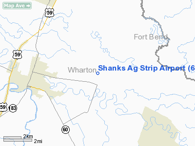
Location & QuickFacts
| FAA Information Effective: | 2008-09-25 |
| Airport Identifier: | 61XS |
| Airport Status: | Operational |
| Longitude/Latitude: | 096-01-14.8440W/29-19-27.8900N
-96.020790/29.324414 (Estimated) |
| Elevation: | 100 ft / 30.48 m (Estimated) |
| Land: | 0 acres |
| From nearest city: | 4 nautical miles E of Wharton, TX |
| Location: | Wharton County, TX |
| Magnetic Variation: | 06E (1985) |
Owner & Manager
| Ownership: | Privately owned |
| Owner: | Robert R. Shanks |
| Address: | Rt 3 Box 69
Wharton, TX 77488 |
| Phone number: | 713-532-5208 |
| Manager: | Robert R. Shanks |
| Address: | Rt 3 Box 69
Wharton, TX 77488 |
| Phone number: | 713-532-5208 |
Airport Operations and Facilities
| Airport Use: | Private |
| Wind indicator: | No |
| Segmented Circle: | No |
| Control Tower: | No |
| Landing fee charge: | No |
| Sectional chart: | Houston |
| Region: | ASW - Southwest |
| Boundary ARTCC: | ZHU - Houston |
| Tie-in FSS: | CXO - Montgomery County |
| FSS on Airport: | No |
| FSS Toll Free: | 1-800-WX-BRIEF
FOR FP FILING CALL CXO FSS 1-800-833-5602. |
Runway Information
Runway 07/25
| Dimension: | 2800 x 80 ft / 853.4 x 24.4 m |
| Surface: | TURF, |
| |
Runway 07 |
Runway 25 |
| Traffic Pattern: | Left | Left |
| Obstruction: | 70 ft trees, 1000.0 ft from runway | 30 ft pline, 0.0 ft from runway |
|
Radio Navigation Aids
| ID |
Type |
Name |
Ch |
Freq |
Var |
Dist |
| ARM | NDB | Wharton | | 245.00 | 06E | 8.1 nm |
| BYY | NDB | Bay City | | 344.00 | 06E | 22.8 nm |
| SGR | NDB | Hull | | 388.00 | 05E | 26.6 nm |
| SYG | NDB | Sandy Point | | 402.00 | 05E | 30.8 nm |
| LYD | NDB | Lakeside | | 249.00 | 05E | 34.6 nm |
| EYQ | NDB | Weiser | | 286.00 | 06E | 41.7 nm |
| EFD | TACAN | Ellington | 031X | | 05E | 48.1 nm |
| ELA | VOR/DME | Eagle Lake | 111X | 116.40 | 08E | 25.6 nm |
| HUB | VOR/DME | Hobby | 118X | 117.10 | 05E | 43.7 nm |
| PSX | VORTAC | Palacios | 120X | 117.30 | 08E | 36.8 nm |
| IDU | VORTAC | Industry | 039X | 110.20 | 08E | 47.3 nm |
| HOU | VOT | Houston Wm P Hobby | | 108.40 | | 43.4 nm |
Remarks
- OWNER DESIRES ARPT NOT BE CHARTED.
- PRVDD MNM 20:1 APCH SLOPE TO EACH RWY END MAINTD & VFR USE ONLY.
Images and information placed above are from
http://www.airport-data.com/airport/61XS/
We thank them for the data!
| General Info
|
| Country |
United States
|
| State |
TEXAS
|
| FAA ID |
61XS
|
| Latitude |
29-19-27.890N
|
| Longitude |
096-01-14.844W
|
| Elevation |
100 feet
|
| Near City |
WHARTON
|
We don't guarantee the information is fresh and accurate. The data may
be wrong or outdated.
For more up-to-date information please refer to other sources.
|
|


