|
|
| Saginaw Airport |
| IATA: none – ICAO: none – FAA LID: F04 |
| Summary |
| Airport type |
Public |
| Owner |
J.D. McNeill |
| Serves |
Fort Worth, Texas |
| Elevation AMSL |
770 ft / 235 m |
| Coordinates |
32°51′45″N 097°22′41″W / 32.8625°N 97.37806°W / 32.8625; -97.37806 |
| Runways |
| Direction |
Length |
Surface |
| ft |
m |
| 18/36 |
2,600 |
792 |
Asphalt |
| Statistics (1998) |
| Aircraft operations |
2,050 |
| Based aircraft |
40 |
| Source: Federal Aviation Administration |
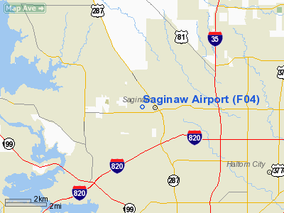
Saginaw Airport (FAA LID: F04) was a public use airport located eight nautical miles (15 km) north of the central business district of Fort Worth, in Tarrant County, Texas, United States. The airport was named for the nearby city of Saginaw, Texas.
The airport is closed and was removed from FAA records between May and July of 2009.
Facilities and aircraft
Saginaw Airport covered an area of 40 acres (16 ha) at an elevation of 770 feet (235 m) above mean sea level. It had one asphalt paved runway designated 18/36 which measured 2,600 by 30 feet (792 x 9 m).
For the 12-month period ending February 24, 1998, the airport had 2,050 general aviation aircraft operations, an average of 170 per month. At that time there were 40 aircraft based at this airport, all single-engine.
The above content comes from Wikipedia and is published under free licenses – click here to read more.
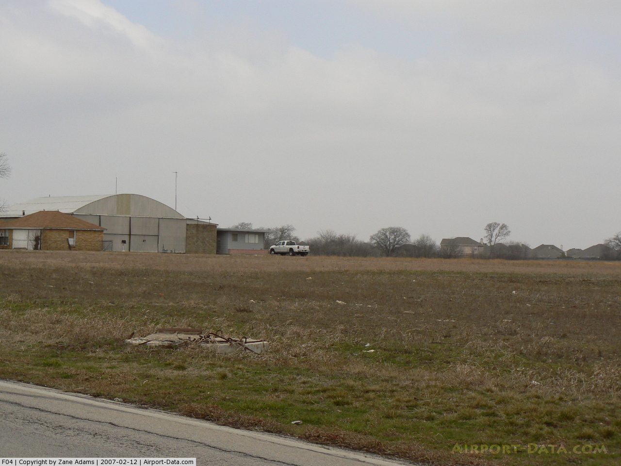
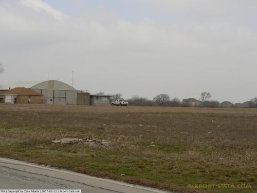 |
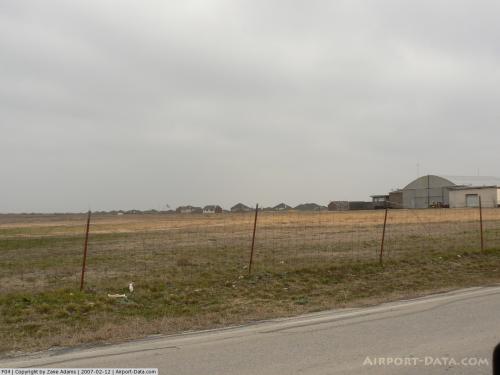
(Click on the photo to enlarge) |
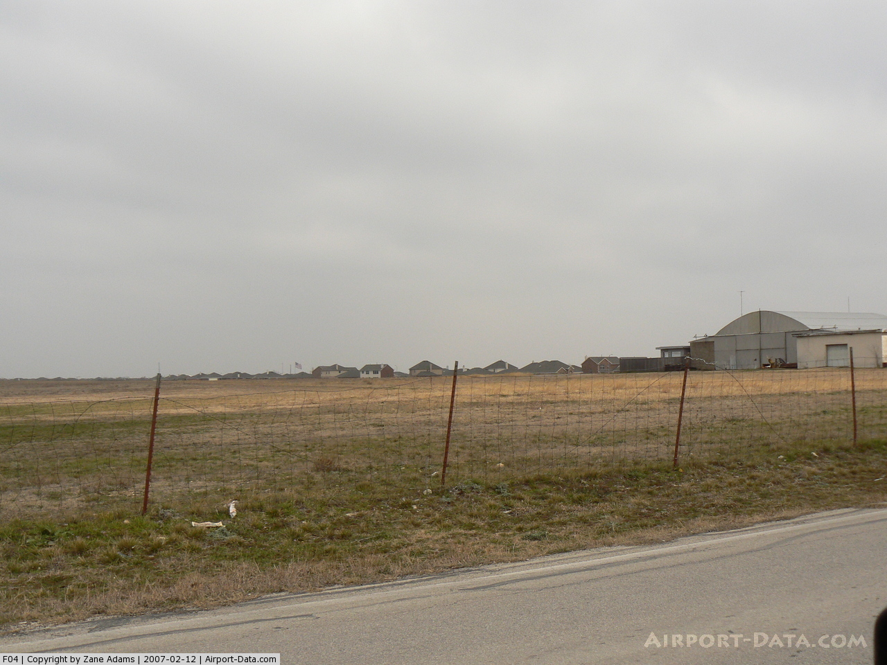
 |
(Click on the photo to enlarge) |
Location & QuickFacts
| FAA Information Effective: | 2008-09-25 |
| Airport Identifier: | F04 |
| Airport Status: | Closed Permanently |
| Longitude/Latitude: | 097-22-41.0660W/32-51-45.4580N
-97.378074/32.862627 (Estimated) |
| Elevation: | 770 ft / 234.70 m (Estimated) |
| Land: | 40 acres |
| From nearest city: | 8 nautical miles N of Fort Worth, TX |
| Location: | Tarrant County, TX |
| Magnetic Variation: | 07E (1985) |
Owner & Manager
| Ownership: | Privately owned |
| Owner: | J.d. Mc Neill |
| Address: | 800 Mc Leroy
Saginaw, TX 76179 |
| Phone number: | 817-236-8410 |
| Manager: | Tara Heffley |
| Address: | 800 Mc Leroy
Saginaw, TX 76179 |
| Phone number: | 817-232-9954 |
Airport Operations and Facilities
| Airport Use: | Open to public |
| Wind indicator: | Yes |
| Segmented Circle: | Yes |
| Control Tower: | No |
| Landing fee charge: | No |
| Sectional chart: | Dallas-ft Worth |
| Region: | ASW - Southwest |
| Boundary ARTCC: | ZFW - Fort Worth |
| Tie-in FSS: | FTW - Fort Worth |
| FSS on Airport: | No |
| FSS Phone: | 817-541-3474 |
| FSS Toll Free: | 1-800-WX-BRIEF |
| NOTAMs Facility: | FTW (NOTAM-d service avaliable) |
Airport Communications
Airport Services
| Fuel available: | 100LL |
| Bottled Oxygen: | NONE |
| Bulk Oxygen: | NONE |
Runway Information
Runway 18/36
| Dimension: | 2600 x 30 ft / 792.5 x 9.1 m |
| Surface: | ASPH, Fair Condition
GRASS & SOIL BUILDUP ALONG EDGES OF RY AND PONDING ON RY. |
| Weight Limit: | Single wheel: 5000 lbs. |
| |
Runway 18 |
Runway 36 |
| Traffic Pattern: | Right | Left |
| Markings: | Nonstandard, Good Condition
18/36 NRS ONLY; 12 FT TALL. DSPLCD THLD ARROWS ONLY 15 FT LONG. | Nonstandard, Good Condition |
| Displaced threshold: | 0.00 ft | 250.00 ft |
| Obstruction: | 25 ft brush, 750.0 ft from runway, 25 ft left of centerline, 22:1 slope to clear
5 FT FENCE POSTS 85 FT FM THLD ACROSS APCH; 20 FT TREES AT 85 FT & 40 FT L OF CNTRLN. | 10 ft tree, 375.0 ft from runway, 33 ft left of centerline, 17:1 slope to clear
+20 FT TREES 160 FT FM DSPLCD THLD 140 FT R OF CNTRLN; APCH SFC 8:1 BASED ON DSPLCD THLD.
4 FT FENCE 55 FT FM THLD ACROSS APCH; 15 FT ROAD 70 FT FM THLD ACROSS APCH; 21 FT TREES 100 FT FM THLD 35 FT R OF CNTRLN. |
|
Radio Navigation Aids
| ID |
Type |
Name |
Ch |
Freq |
Var |
Dist |
| XQH | NDB | Cedar Hill | | 353.00 | 08E | 26.1 nm |
| RBD | NDB | Redbird | | 287.00 | 06E | 28.0 nm |
| MWL | NDB | Mineral Wells | | 266.00 | 06E | 34.6 nm |
| LNC | NDB | Lancaster | | 239.00 | 06E | 37.4 nm |
| PQF | NDB | Mesquite | | 248.00 | 06E | 43.0 nm |
| JUG | NDB | Jecca | | 388.00 | 06E | 44.3 nm |
| GMZ | NDB | Grindstone Mountain | | 356.00 | 07E | 48.9 nm |
| NFW | TACAN | Nas Jrb Fort Worth | 024X | | 07E | 6.3 nm |
| TTT | VOR/DME | Maverick | 078X | 113.10 | 06E | 17.0 nm |
| CVE | VOR/DME | Cowboy | 109X | 116.20 | 06E | 24.0 nm |
| FUZ | VORTAC | Ranger | 104X | 115.70 | 06E | 10.2 nm |
| MQP | VORTAC | Millsap | 124X | 117.70 | 09E | 32.4 nm |
| UKW | VORTAC | Bowie | 071X | 112.40 | 06E | 46.2 nm |
| JEN | VORTAC | Glen Rose | 097X | 115.00 | 06E | 49.3 nm |
| FTW | VOT | Fort Worth Meacham | | 108.20 | | 2.9 nm |
| DAL | VOT | Dallas Love Field | | 113.30 | | 26.6 nm |
Remarks
- TFC PAT TO WEST OF FIELD.
- (ARPT STATUS) ARPT CLSD PERMLY.
Images and information placed above are from
http://www.airport-data.com/airport/F04/
We thank them for the data!
| General Info
|
| Country |
United States
|
| State |
TEXAS
|
| FAA ID |
F04
|
| Latitude |
32-51-45.458N
|
| Longitude |
097-22-41.066W
|
| Elevation |
770 feet
|
| Near City |
FORT WORTH
|
We don't guarantee the information is fresh and accurate. The data may
be wrong or outdated.
For more up-to-date information please refer to other sources.
|
|