 |
|
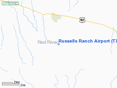
Location & QuickFacts
| FAA Information Effective: | 2008-09-25 |
| Airport Identifier: | TX19 |
| Airport Status: | Operational |
| Longitude/Latitude: | 094-54-25.7790W/33-32-10.3980N
-94.907161/33.536222 (Estimated) |
| Elevation: | 400 ft / 121.92 m (Estimated) |
| Land: | 150 acres |
| From nearest city: | 3 nautical miles S of Annona, TX |
| Location: | Red River County, TX |
| Magnetic Variation: | 05E (1985) |
Owner & Manager
| Ownership: | Privately owned |
| Owner: | Joe E. Russell |
| Address: |
Annona, TX 75550 |
| Phone number: | 903-697-2208 |
| Manager: | Joe E. Russell |
| Address: |
Annona, TX 75550 |
| Phone number: | 903-697-2208 |
Airport Operations and Facilities
| Airport Use: | Private |
| Wind indicator: | No |
| Segmented Circle: | No |
| Control Tower: | No |
| Landing fee charge: | No |
| Sectional chart: | Memphis |
| Region: | ASW - Southwest |
| Boundary ARTCC: | ZFW - Fort Worth |
| Tie-in FSS: | FTW - Fort Worth |
| FSS on Airport: | No |
| FSS Phone: | 817-541-3474 |
| FSS Toll Free: | 1-800-WX-BRIEF |
Airport Services
| Airframe Repair: | NONE |
| Power Plant Repair: | NONE |
Runway Information
Runway 08/26
| Dimension: | 2175 x 75 ft / 662.9 x 22.9 m |
| Surface: | ASPH-TURF,
RWY 8-26 HAS 1200 X 30FT ASPH STRIP SUPERIMPOSED ON W END 2175 X 75FT TURF STRIP.
RWY 17-35 HAS 1900 X 30FT ASPH STRIP SUPERIMPOSED ON N END 2700 X 75FT TURF STRIP. |
| |
Runway 08 |
Runway 26 |
| Traffic Pattern: | Left | Left |
|
Runway 17/35
| Dimension: | 2700 x 75 ft / 823.0 x 22.9 m |
| Surface: | ASPH-TURF,
RWY 8-26 HAS 1200 X 30FT ASPH STRIP SUPERIMPOSED ON W END 2175 X 75FT TURF STRIP.
RWY 17-35 HAS 1900 X 30FT ASPH STRIP SUPERIMPOSED ON N END 2700 X 75FT TURF STRIP. |
| |
Runway 17 |
Runway 35 |
| Traffic Pattern: | Left | Left |
|
Radio Navigation Aids
| ID |
Type |
Name |
Ch |
Freq |
Var |
Dist |
| IBO | NDB | Idabel | | 271.00 | 03E | 22.5 nm |
| LST | NDB | Lone Star | | 305.00 | 05E | 37.5 nm |
| DEQ | NDB | De Queen | | 281.00 | 04E | 39.8 nm |
| HHW | NDB | Hugo | | 323.00 | 05E | 43.7 nm |
| ATA | NDB | Atlanta | | 347.00 | 04E | 44.4 nm |
| PRX | VOR/DME | Paris | 083X | 113.60 | 07E | 27.1 nm |
| SLR | VOR/DME | Sulphur Springs | 027X | 109.00 | 08E | 37.8 nm |
| UIM | VOR/DME | Quitman | 087X | 114.00 | 08E | 45.7 nm |
| TXK | VORTAC | Texarkana | 110X | 116.30 | 07E | 41.8 nm |
Remarks
- CATTLE MAY BE ON RWY
- NOT REQ DUE TO PROXIMITY TO NEAREST ARPT.
Images and information placed above are from
http://www.airport-data.com/airport/TX19/
We thank them for the data!
| General Info
|
| Country |
United States
|
| State |
TEXAS
|
| FAA ID |
TX19
|
| Latitude |
33-32-10.398N
|
| Longitude |
094-54-25.779W
|
| Elevation |
400 feet
|
| Near City |
ANNONA
|
We don't guarantee the information is fresh and accurate. The data may
be wrong or outdated.
For more up-to-date information please refer to other sources.
|
|


