 |
|
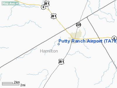
Location & QuickFacts
| FAA Information Effective: | 2008-09-25 |
| Airport Identifier: | TA78 |
| Airport Status: | Operational |
| Longitude/Latitude: | 098-03-41.1260W/31-58-20.5310N
-98.061424/31.972370 (Estimated) |
| Elevation: | 1143 ft / 348.39 m (Estimated) |
| Land: | 0 acres |
| From nearest city: | 2 nautical miles SW of Hico, TX |
| Location: | Hamilton County, TX |
| Magnetic Variation: | 07E (1985) |
Owner & Manager
| Ownership: | Privately owned |
| Owner: | Johnny B. Putty |
| Address: | Rt 2 Box 54
Hico, TX 76457 |
| Phone number: | 817-796-4165 |
| Manager: | Johnny B. Putty |
| Address: | Rt 2 Box 54
Hico, TX 76457 |
| Phone number: | 817-796-4165 |
Airport Operations and Facilities
| Airport Use: | Private |
| Wind indicator: | No |
| Segmented Circle: | No |
| Control Tower: | No |
| Lighting Schedule: | PHONE REQ
FOR LIRL RY 17/35 CALL 817-796-4165. |
| Landing fee charge: | No |
| Sectional chart: | San Antonio |
| Region: | ASW - Southwest |
| Boundary ARTCC: | ZFW - Fort Worth |
| Tie-in FSS: | FTW - Fort Worth |
| FSS on Airport: | No |
| FSS Phone: | 817-541-3474 |
| FSS Toll Free: | 1-800-WX-BRIEF |
Airport Services
| Fuel available: | 100LL
FOR EMERGENCY USE ONLY. |
Runway Information
Runway 17/35
| Dimension: | 3500 x 60 ft / 1066.8 x 18.3 m |
| Surface: | ASPH-TURF,
SOUTH END 3000' ASPH; NORTH END 500' TURF. |
| Edge Lights: | Low |
| |
Runway 17 |
Runway 35 |
| Traffic Pattern: | Left | Left |
|
Radio Navigation Aids
| ID |
Type |
Name |
Ch |
Freq |
Var |
Dist |
| MNZ | NDB | Hamilton | | 251.00 | 07E | 21.6 nm |
| OIP | NDB | Old Rip | | 410.00 | 07E | 45.9 nm |
| MWL | NDB | Mineral Wells | | 266.00 | 06E | 48.9 nm |
| GR | NDB | Starn | | 323.00 | 07E | 49.3 nm |
| BWD | VOR/DME | Brownwood | 023X | 108.60 | 08E | 46.0 nm |
| JEN | VORTAC | Glen Rose | 097X | 115.00 | 06E | 14.6 nm |
| ACT | VORTAC | Waco | 100X | 115.30 | 09E | 44.6 nm |
| MQP | VORTAC | Millsap | 124X | 117.70 | 09E | 45.4 nm |
| LZZ | VORTAC | Lampasas | 072X | 112.50 | 08E | 47.5 nm |
Images and information placed above are from
http://www.airport-data.com/airport/TA78/
We thank them for the data!
| General Info
|
| Country |
United States
|
| State |
TEXAS
|
| FAA ID |
TA78
|
| Latitude |
31-58-20.531N
|
| Longitude |
098-03-41.126W
|
| Elevation |
1143 feet
|
| Near City |
HICO
|
We don't guarantee the information is fresh and accurate. The data may
be wrong or outdated.
For more up-to-date information please refer to other sources.
|
|


