 |
|
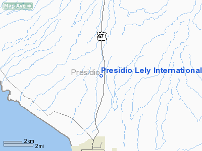
Presidio Lely Intl Airport |
Location & QuickFacts
| FAA Information Effective: | 2008-09-25 |
| Airport Identifier: | T77 |
| Airport Status: | Operational |
| Longitude/Latitude: | 104-21-41.7250W/29-38-02.6470N
-104.361590/29.634069 (Estimated) |
| Elevation: | 2932 ft / 893.67 m (Estimated) |
| Land: | 88 acres |
| From nearest city: | 5 nautical miles N of Presidio, TX |
| Location: | Presidio County, TX |
| Magnetic Variation: | 10E (1980) |
Owner & Manager
| Ownership: | Publicly owned |
| Owner: | Presidio County |
| Address: | Courthouse
Marfa, TX 79843 |
| Phone number: | 432-729-4452 |
| Manager: | Carlos Armendariz
COUNTY COMMISSIONER. |
| Address: | Po Box 2167
Presidio, TX 79845 |
| Phone number: | 432-229-3320 |
Airport Operations and Facilities
| Airport Use: | Open to public |
| Wind indicator: | Yes |
| Segmented Circle: | Yes |
| Control Tower: | No |
| Lighting Schedule: | DUSK-DAWN
MIRL RY 17/35 PRESET LOW INTST; TO INCR INTST ACTVT - 122.8. |
| Beacon Color: | Clear-Green (lighted land airport) |
| Landing fee charge: | No |
| Sectional chart: | El Paso |
| Region: | ASW - Southwest |
| Traffic Pattern Alt: | 1000 ft |
| Boundary ARTCC: | ZAB - Albuquerque |
| Tie-in FSS: | SJT - San Angelo |
| FSS on Airport: | No |
| FSS Toll Free: | 1-800-WX-BRIEF |
| NOTAMs Facility: | SJT (NOTAM-d service avaliable) |
Airport Communications
Airport Services
Runway Information
Runway 17/35
| Dimension: | 5200 x 75 ft / 1585.0 x 22.9 m |
| Surface: | ASPH, |
| Weight Limit: | Single wheel: 12500 lbs. |
| Edge Lights: | Medium |
| |
Runway 17 |
Runway 35 |
| Traffic Pattern: | Left | Left |
| Markings: | Non-precision instrument, Good Condition | Non-precision instrument, Good Condition |
| VASI: | pulsating/steady burning on left side | pulsating/steady burning on left side |
| Obstruction: | , 50:1 slope to clear | 8 ft brush, 330.0 ft from runway, 145 ft left of centerline, 16:1 slope to clear |
|
Radio Navigation Aids
| ID |
Type |
Name |
Ch |
Freq |
Var |
Dist |
| MRF | VOR/DME | Marfa | 106X | 115.90 | 11E | 45.2 nm |
Images and information placed above are from
http://www.airport-data.com/airport/T77/
We thank them for the data!
| General Info
|
| Country |
United States
|
| State |
TEXAS
|
| FAA ID |
T77
|
| Latitude |
29-38-02.647N
|
| Longitude |
104-21-41.725W
|
| Elevation |
2932 feet
|
| Near City |
PRESIDIO
|
We don't guarantee the information is fresh and accurate. The data may
be wrong or outdated.
For more up-to-date information please refer to other sources.
|
|


