 |
|
Location & QuickFacts
| FAA Information Effective: | 2008-09-25 |
| Airport Identifier: | TA13 |
| Airport Status: | Operational |
| Longitude/Latitude: | 102-52-13.7280W/36-15-23.1100N
-102.870480/36.256419 (Estimated) |
| Elevation: | 4373 ft / 1332.89 m (Estimated) |
| Land: | 0 acres |
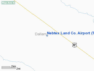
| From nearest city: | 10 nautical miles SE of Texline, TX |
| Location: | Dallam County, TX |
| Magnetic Variation: | 10E (1985) |
Owner & Manager
| Ownership: | Privately owned |
| Owner: | Nebtex Land Co. |
| Address: | Box 828
Texline, TX 79022 |
| Phone number: | 806-377-6126 |
| Manager: | John Mankin |
| Address: | Box 828
Texline, TX 79022 |
| Phone number: | 806-377-6126 |
Airport Operations and Facilities
| Airport Use: | Private |
| Wind indicator: | Yes |
| Segmented Circle: | No |
| Control Tower: | No |
| Landing fee charge: | No |
| Sectional chart: | Wichita |
| Region: | ASW - Southwest |
| Boundary ARTCC: | ZAB - Albuquerque |
| Tie-in FSS: | FTW - Fort Worth |
| FSS on Airport: | No |
| FSS Phone: | 817-541-3474 |
| FSS Toll Free: | 1-800-WX-BRIEF |
Runway Information
Runway 18/36
| Dimension: | 2600 x 50 ft / 792.5 x 15.2 m |
| Surface: | TURF, |
| |
Runway 18 |
Runway 36 |
| Traffic Pattern: | Left | Left |
|
Radio Navigation Aids
| ID |
Type |
Name |
Ch |
Freq |
Var |
Dist |
| CAO | NDB | Clayton | | 332.00 | 09E | 17.6 nm |
| BCY | NDB | Thorp | | 212.00 | 10E | 34.1 nm |
| DUX | NDB | Durrett | | 414.00 | 09E | 47.9 nm |
| DHT | VORTAC | Dalhart | 057X | 112.00 | 12E | 18.7 nm |
Images and information placed above are from
http://www.airport-data.com/airport/TA13/
We thank them for the data!
| General Info
|
| Country |
United States
|
| State |
TEXAS
|
| FAA ID |
TA13
|
| Latitude |
36-15-23.110N
|
| Longitude |
102-52-13.728W
|
| Elevation |
4373 feet
|
| Near City |
TEXLINE
|
We don't guarantee the information is fresh and accurate. The data may
be wrong or outdated.
For more up-to-date information please refer to other sources.
|
|


