|
|
|
 |
| IATA: MWL – ICAO: KMWL |
| Summary |
| Airport type |
Public |
| Operator |
City of Mineral Wells, Texas |
| Location |
Mineral Wells, Texas |
| Elevation AMSL |
974 ft / 297 m |
| Coordinates |
32°46′53.78″N 098°03′36.63″W / 32.7816056°N 98.060175°W / 32.7816056; -98.060175Coordinates: 32°46′53.78″N 098°03′36.63″W / 32.7816056°N 98.060175°W / 32.7816056; -98.060175 |
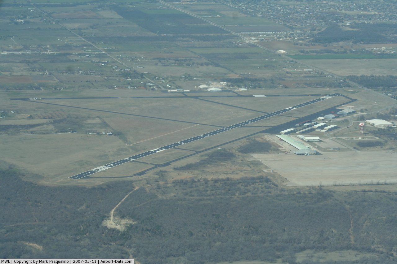
| Runways |
| Direction |
Length |
Surface |
| ft |
m |
| 13/31 |
5,996 |
1,828 |
Asphalt |
| 17/35 |
4,188 |
1,277 |
Asphalt |
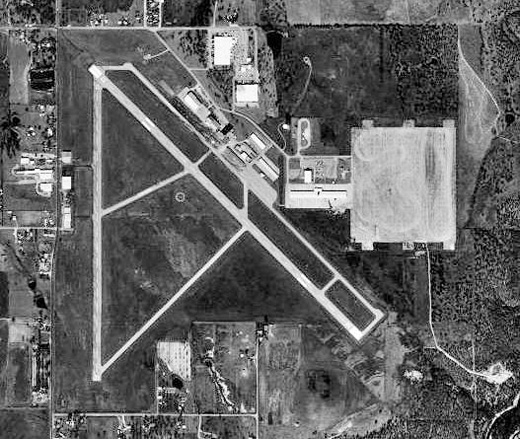
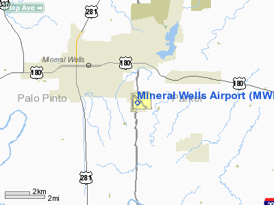
Mineral Wells Airport (IATA: MWL, ICAO: KMWL) is a general aviation airport located within city limits, 3 miles (4.8 km) SE of central Mineral Wells, Texas.
It is owned and operated by the city of Mineral Wells, Texas. The airport, as does the city, lies in both Palo Pinto County and Parker County. Its terminal lies in Parker County. History
Originally established as Camp Wolters in 1925, it was named for Brig. Gen. Jacob F. Wolters,qv commander of the Fifty-sixth Brigade of the National Guard, and designated a summer training site for his units.
Mineral Wells donated 50 acres (200,000 m) of land, leased 2,300 acres (9.3 km), and in World War II provided land to increase the camp's area to 7,500 acres (30 km). The airfield was opened in May 1943 and was used by the United States Army Air Forces as a training base. The army camp became an important infantry-replacement training center with a troop capacity that reached a peak of 24,973.
In December 1945 the entire facility was deactivated.
Local businessmen purchased the land and facilities and converted them to private use. The tensions of the cold war, however, resulted in the reopening of the camp in early 1951, under the authority of the United States Air Force. At the installation, then named Wolters Air Force Base, was housed the newly formed Aviation Engineer Force. Special-category army and air force personnel were trained there.
In September 1956 the base became the Primary Helicopter Center directed by the United States Army. In June 1963 it was renamed Fort Wolters. At the time all army rotary-wing aviators received basic and primary flight training there.
The Vietnam War increased the need for pilots, and the base became the home for training not just army personnel, but also helicopter pilots for the Marine Corps in 1968 and for the Air Force in 1970. By 1970 Fort Wolters covered 8,500 acres (34 km) and leased an additional 1,700 to help handle the 1,200 helicopters used at the camp. By January 1, 1973, 40,000 students had completed the twenty-week training program. The base was also the home of the Beach Army Hospital, the Eighty-fourth Military Police Detachment, the 328th United States Army Band, and United States Army Reserve Detachment 20, Sixteenth Weather Squadron.
In 1975 orders deactivating the base were issued. Part of the land and facilities became the property of the city and private businessmen; 90 acres (360,000 m) and thirteen buildings became the Education Center of Weatherford College.
A portion of the land was also transferred by the United States government to the state of Texas for development as part of Lake Mineral Wells State Park.qv
The above content comes from Wikipedia and is published under free licenses – click here to read more.
 |
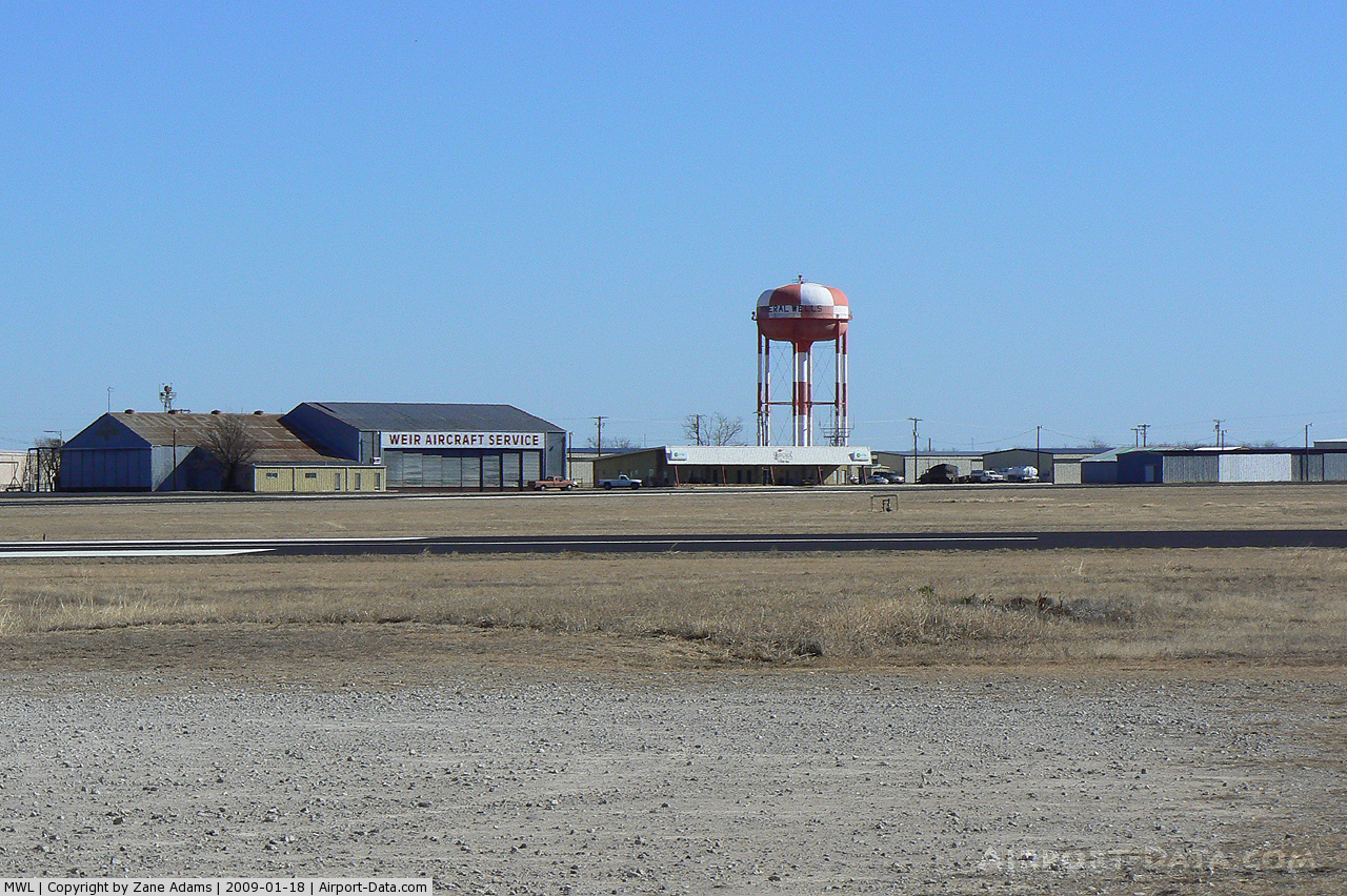
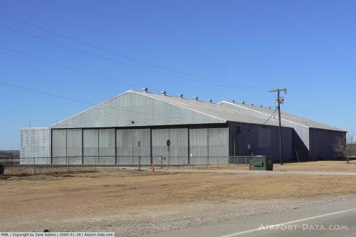
(Click on the photo to enlarge) |
 |
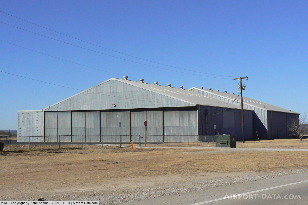
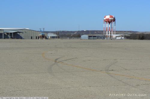
(Click on the photo to enlarge) |
 |
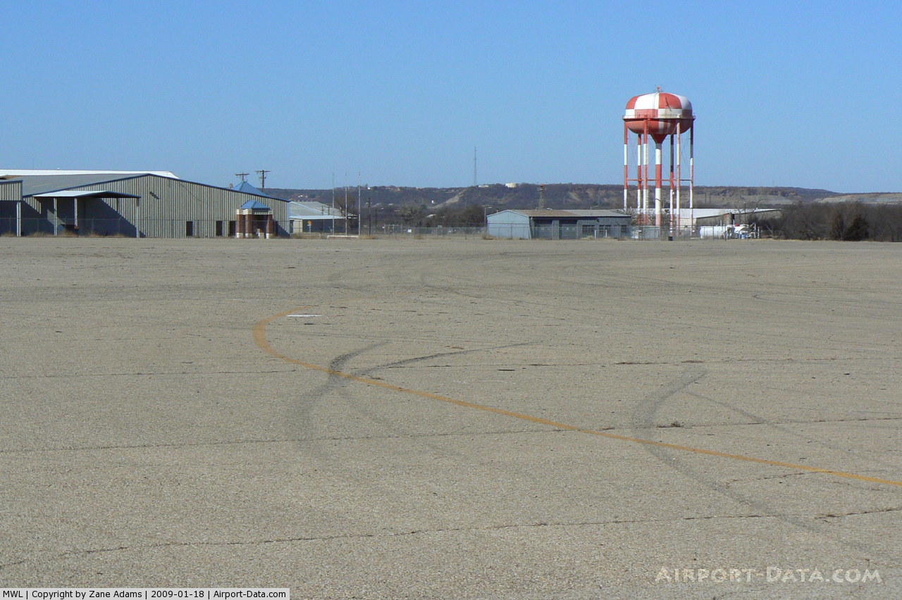
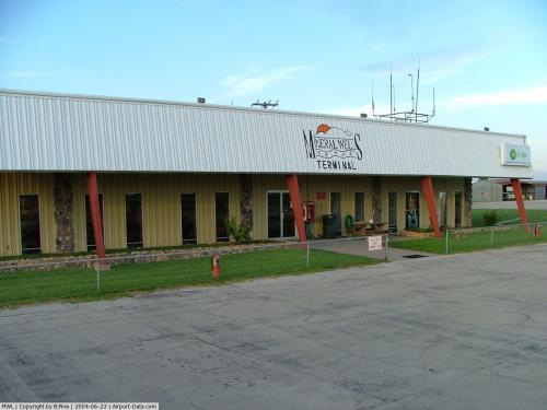
(Click on the photo to enlarge) |
 |
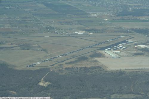
(Click on the photo to enlarge) |
 |
(Click on the photo to enlarge) |
 |
(Click on the photo to enlarge) |
Location & QuickFacts
| FAA Information Effective: | 2008-09-25 |
| Airport Identifier: | MWL |
| Airport Status: | Operational |
| Longitude/Latitude: | 098-03-36.6300W/32-46-53.7800N
-98.060175/32.781606 (Estimated) |
| Elevation: | 974 ft / 296.88 m (Estimated) |
| Land: | 505 acres |
| From nearest city: | 3 nautical miles SE of Mineral Wells, TX |
| Location: | Parker County, TX |
| Magnetic Variation: | 06E (2000) |
Owner & Manager
| Ownership: | Publicly owned |
| Owner: | City Of Mineral Wells |
| Address: | Po Box 460
Mineral Wells, TX 76068 |
| Phone number: | 940-328-7700 |
| Manager: | Bobby Bateman |
| Address: | Po Box 460
Mineral Wells, TX 76068 |
| Phone number: | 940-328-7808 |
Airport Operations and Facilities
| Airport Use: | Open to public |
| Wind indicator: | Yes |
| Segmented Circle: | Yes |
| Control Tower: | No |
| Lighting Schedule: | DUSK-DAWN
MIRL RY 13/31 PRESET LOW INTST; TO INCR INTST ACTVT - CTAF. |
| Beacon Color: | Clear-Green (lighted land airport) |
| Landing fee charge: | No |
| Sectional chart: | Dallas-ft Worth |
| Region: | ASW - Southwest |
| Boundary ARTCC: | ZFW - Fort Worth |
| Tie-in FSS: | FTW - Fort Worth |
| FSS on Airport: | No |
| FSS Phone: | 817-541-3474 |
| FSS Toll Free: | 1-800-WX-BRIEF |
| NOTAMs Facility: | MWL (NOTAM-d service avaliable) |
| Federal Agreements: | NGPY3 |
Airport Communications
| CTAF: | 122.725 |
| Unicom: | 122.725 |
Airport Services
| Fuel available: | 100LLA
FOR FUEL AFT HRS CALL 940-328-7770. |
| Airframe Repair: | MAJOR |
| Power Plant Repair: | MAJOR |
| Bottled Oxygen: | LOW |
| Bulk Oxygen: | NONE |
Runway Information
Runway 13/31
| Dimension: | 5996 x 100 ft / 1827.6 x 30.5 m |
| Surface: | ASPH, Fair Condition |
| Weight Limit: | Single wheel: 50000 lbs.
Dual wheel: 145000 lbs. |
| Edge Lights: | Medium |
| |
Runway 13 |
Runway 31 |
| Longitude: | 098-03-51.4120W | 098-03-02.2700W |
| Latitude: | 32-47-14.7320N | 32-46-32.3400N |
| Elevation: | 913.00 ft | 969.00 ft |
| Alignment: | 127 | 127 |
| ILS Type: | | ILS/DME
|
| Traffic Pattern: | Left | Left |
| Markings: | Non-precision instrument, Good Condition | Non-precision instrument, Good Condition |
| Crossing Height: | 40.00 ft | 53.00 ft |
| Displaced threshold: | 300.00 ft | 400.00 ft |
| VASI: | 4-light PAPI on left side | 4-light PAPI on left side |
| Visual Glide Angle: | 3.00° | 3.00° |
| Obstruction: | 27 ft trees, 408.0 ft from runway, 271 ft right of centerline, 7:1 slope to clear | 12 ft tree, 350.0 ft from runway, 200 ft left of centerline, 12:1 slope to clear |
|
Runway 17/35
| Dimension: | 4188 x 100 ft / 1276.5 x 30.5 m |
| Surface: | ASPH, Fair Condition |
| Weight Limit: | Single wheel: 50000 lbs.
Dual wheel: 145000 lbs. |
| Edge Lights: | Medium |
| |
Runway 17 |
Runway 35 |
| Longitude: | 098-03-50.3930W | 098-03-50.9170W |
| Latitude: | 32-47-14.8320N | 32-46-33.3960N |
| Elevation: | 914.00 ft | 956.00 ft |
| Alignment: | 127 | 1 |
| Traffic Pattern: | Left | Left |
| Markings: | Basic, Good Condition | Basic, Good Condition |
| Displaced threshold: | 0.00 ft | 286.00 ft |
| Obstruction: | 31 ft trees, 545.0 ft from runway, 16 ft left of centerline, 11:1 slope to clear | 64 ft trees, 445.0 ft from runway, 290 ft left of centerline, 3:1 slope to clear
RWY 35 +64 FT TREES, DISTANCE 731 FT, 290 FT LEFT; APCH SLOPE 11:1 BASED ON DSPLCD THR. |
|
Radio Navigation Aids
| ID |
Type |
Name |
Ch |
Freq |
Var |
Dist |
| MWL | NDB | Mineral Wells | | 266.00 | 06E | 0.3 nm |
| GZV | NDB | Brazos River | | 280.00 | 07E | 20.5 nm |
| GHX | NDB | Graham | | 371.00 | 07E | 31.9 nm |
| BKD | NDB | Breckenridge | | 245.00 | 07E | 42.1 nm |
| OIP | NDB | Old Rip | | 410.00 | 07E | 44.4 nm |
| NFW | TACAN | Nas Jrb Fort Worth | 024X | | 07E | 31.4 nm |
| MQP | VORTAC | Millsap | 124X | 117.70 | 09E | 4.6 nm |
| JEN | VORTAC | Glen Rose | 097X | 115.00 | 06E | 38.5 nm |
| FUZ | VORTAC | Ranger | 104X | 115.70 | 06E | 45.0 nm |
| UKW | VORTAC | Bowie | 071X | 112.40 | 06E | 46.9 nm |
| FTW | VOT | Fort Worth Meacham | | 108.20 | | 35.5 nm |
Remarks
- GCO AVBL ON FREQ 121.725 THRU FORT WORTH ARTCC & FLT SVCS.
Images and information placed above are from
http://www.airport-data.com/airport/MWL/
We thank them for the data!
| General Info
|
| Country |
United States
|
| State |
TEXAS
|
| FAA ID |
MWL
|
| Latitude |
32-46-53.780N
|
| Longitude |
098-03-36.630W
|
| Elevation |
973 feet
|
| Near City |
MINERAL WELLS
|
We don't guarantee the information is fresh and accurate. The data may
be wrong or outdated.
For more up-to-date information please refer to other sources.
|
|