 |
|
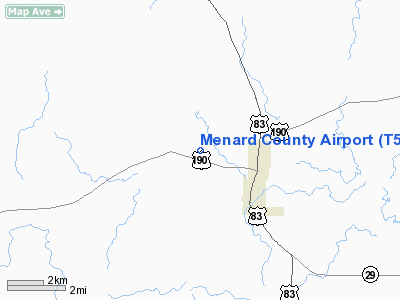
Location & QuickFacts
| FAA Information Effective: | 2008-09-25 |
| Airport Identifier: | T50 |
| Airport Status: | Operational |
| Longitude/Latitude: | 099-49-01.2540W/30-56-00.6220N
-99.817015/30.933506 (Estimated) |
| Elevation: | 1930 ft / 588.26 m (Estimated) |
| Land: | 66 acres |
| From nearest city: | 3 nautical miles NW of Menard, TX |
| Location: | Menard County, TX |
| Magnetic Variation: | 08E (1985) |
Owner & Manager
| Ownership: | Publicly owned |
| Owner: | Menard County |
| Address: | Po Box 1038
Menard, TX 76859 |
| Phone number: | 325-396-4789 |
| Manager: | Richard Cordes
COUNTY JUDGE. |
| Address: | Po Box 1038
Menard, TX 76859 |
| Phone number: | 325-396-4789 |
Airport Operations and Facilities
| Airport Use: | Open to public |
| Wind indicator: | Yes |
| Segmented Circle: | Yes |
| Control Tower: | No |
| Lighting Schedule: | DUSK-DAWN |
| Beacon Color: | Clear-Green (lighted land airport) |
| Landing fee charge: | No |
| Sectional chart: | San Antonio |
| Region: | ASW - Southwest |
| Boundary ARTCC: | ZHU - Houston |
| Tie-in FSS: | SJT - San Angelo |
| FSS on Airport: | No |
| FSS Toll Free: | 1-800-WX-BRIEF |
| NOTAMs Facility: | SJT (NOTAM-d service avaliable) |
Airport Communications
Airport Services
| Airframe Repair: | NONE |
| Power Plant Repair: | NONE |
| Bottled Oxygen: | NONE |
| Bulk Oxygen: | NONE |
Runway Information
Runway 15/33
| Dimension: | 4100 x 60 ft / 1249.7 x 18.3 m |
| Surface: | ASPH, Good Condition |
| Weight Limit: | Single wheel: 12500 lbs. |
| Edge Lights: | Low |
| |
Runway 15 |
Runway 33 |
| Traffic Pattern: | Left | Left |
| Markings: | Basic, Good Condition | Basic, Good Condition |
| Displaced threshold: | 480.00 ft | 0.00 ft |
| Obstruction: | 12 ft brush, 200.0 ft from runway
APCH RATIO 20:1 FM DSPLCD THLD TO +38 FT TREE AT 760 FT FM DSPLCD THLD 200 FT L CNTRLN.
4' FENCE 135' FROM THR. | 40 ft tree, 1009.0 ft from runway, 125 ft left of centerline, 20:1 slope to clear |
|
Radio Navigation Aids
| ID |
Type |
Name |
Ch |
Freq |
Var |
Dist |
| BBD | NDB | Brady | | 380.00 | 07E | 29.4 nm |
| UBC | NDB | Ballinger | | 239.00 | 08E | 45.6 nm |
| SOA | NDB | Sonora | | 371.00 | 08E | 47.8 nm |
| JCT | VORTAC | Junction | 107X | 116.00 | 08E | 20.2 nm |
| SJT | VORTAC | San Angelo | 098X | 115.10 | 10E | 42.2 nm |
Remarks
- BIRDS ON & INVOF ARPT (SEASONAL).
Images and information placed above are from
http://www.airport-data.com/airport/T50/
We thank them for the data!
| General Info
|
| Country |
United States
|
| State |
TEXAS
|
| FAA ID |
T50
|
| Latitude |
30-56-00.622N
|
| Longitude |
099-49-01.254W
|
| Elevation |
1930 feet
|
| Near City |
MENARD
|
We don't guarantee the information is fresh and accurate. The data may
be wrong or outdated.
For more up-to-date information please refer to other sources.
|
|


