|
|
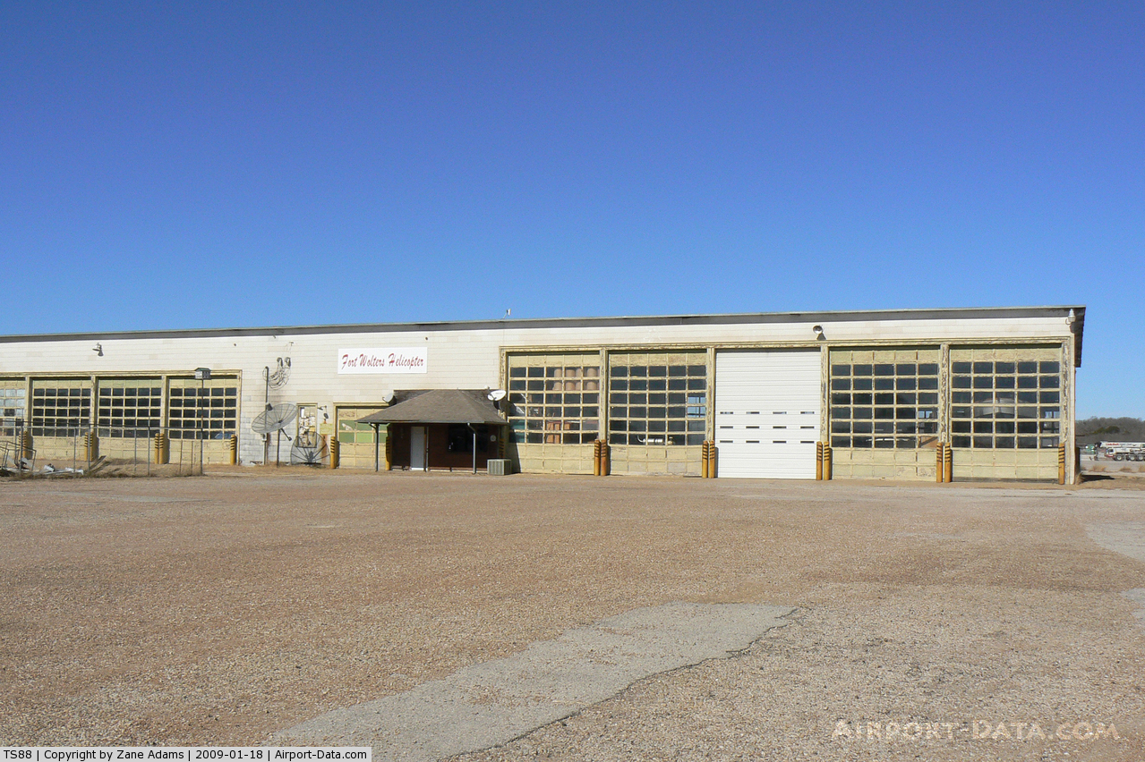
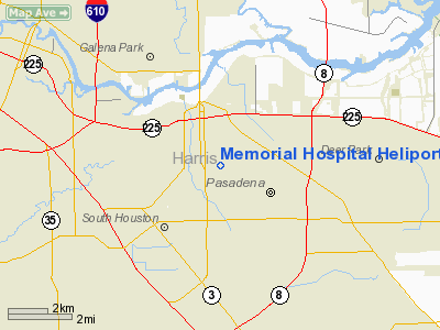
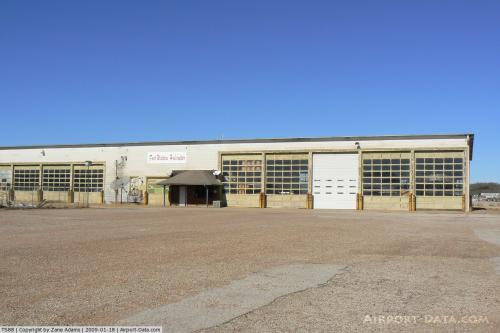
Memorial Hospital Heliport |
 |
(Click on the photo to enlarge) |
Location & QuickFacts
| FAA Information Effective: | 2008-09-25 |
| Airport Identifier: | TS88 |
| Airport Status: | Operational |
| Longitude/Latitude: | 095-12-03.7610W/29-41-22.8240N
-95.201045/29.689673 (Estimated) |
| Elevation: | 20 ft / 6.10 m (Estimated) |
| Land: | 0 acres |
| From nearest city: | 0 nautical miles S of Pasadena, TX |
| Location: | Harris County, TX |
| Magnetic Variation: | 06E (1985) |
Owner & Manager
| Ownership: | Privately owned |
| Owner: | Memorial Hospital System |
| Address: | 906 E Southmore Ave
Pasadena, TX 77502 |
| Phone number: | 713-475-5805 |
| Manager: | Dennis Knox |
| Address: | 906 E Southmore Ave
Pasadena, TX 77502 |
| Phone number: | 713-475-5805 |
Airport Operations and Facilities
| Airport Use: | Private
MEDICAL. |
| Wind indicator: | Yes |
| Segmented Circle: | No |
| Control Tower: | No |
| Sectional chart: | Houston |
| Region: | ASW - Southwest |
| Boundary ARTCC: | ZHU - Houston |
| Tie-in FSS: | CXO - Montgomery County |
| FSS Toll Free: | 1-800-WX-BRIEF
FOR FP FILING CALL CXO FSS 1-800-833-5602. |
Runway Information
Helipad H1
| Dimension: | 60 x 60 ft / 18.3 x 18.3 m |
| Surface: | ASPH, |
| |
Runway H1 |
Runway |
| Traffic Pattern: | Left | Left |
|
Radio Navigation Aids
| ID |
Type |
Name |
Ch |
Freq |
Var |
Dist |
| JPA | NDB | Sanjac | | 347.00 | 05E | 7.0 nm |
| SYG | NDB | Sandy Point | | 402.00 | 05E | 17.9 nm |
| BVP | NDB | Nixin | | 326.00 | 05E | 18.3 nm |
| SGR | NDB | Hull | | 388.00 | 05E | 24.0 nm |
| LYD | NDB | Lakeside | | 249.00 | 05E | 26.0 nm |
| EYQ | NDB | Weiser | | 286.00 | 06E | 27.2 nm |
| CBC | NDB | Anahuac | | 413.00 | 05E | 28.5 nm |
| GLS | NDB | Galveston | | 206.00 | 08E | 31.6 nm |
| DWH | NDB | David Hooks | | 521.00 | 05E | 32.4 nm |
| EFD | TACAN | Ellington | 031X | | 05E | 5.5 nm |
| HUB | VOR/DME | Hobby | 118X | 117.10 | 05E | 4.4 nm |
| MHF | VOR/DME | Trinity | 083X | 113.60 | 07E | 25.2 nm |
| IAH | VORTAC | Humble | 113X | 116.60 | 05E | 17.7 nm |
| VUH | VORTAC | Scholes | 077X | 113.00 | 06E | 30.7 nm |
| DAS | VORTAC | Daisetta | 116X | 116.90 | 05E | 41.7 nm |
| HOU | VOT | Houston Wm P Hobby | | 108.40 | | 4.9 nm |
Remarks
- PRVDD ROUTES ARE ESTABLISHED TO/FROM THE NORTH ONLY.
Images and information placed above are from
http://www.airport-data.com/airport/TS88/
We thank them for the data!
| General Info
|
| Country |
United States
|
| State |
TEXAS
|
| FAA ID |
TE46
|
| Latitude |
28-18-23.008N
|
| Longitude |
097-47-48.995W
|
| Elevation |
50 feet
|
| Near City |
REFUGIO
|
We don't guarantee the information is fresh and accurate. The data may
be wrong or outdated.
For more up-to-date information please refer to other sources.
|
|