 |
|
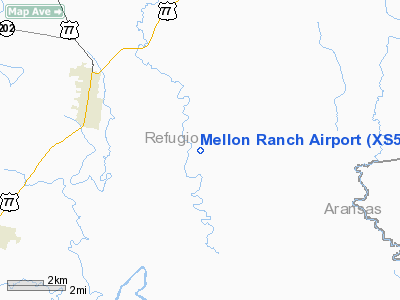
Location & QuickFacts
| FAA Information Effective: | 2008-09-25 |
| Airport Identifier: | XS59 |
| Airport Status: | Operational |
| Longitude/Latitude: | 097-12-40.9710W/28-16-51.0240N
-97.211381/28.280840 (Estimated) |
| Elevation: | 38 ft / 11.58 m (Estimated) |
| Land: | 0 acres |
| From nearest city: | 3 nautical miles ES of Refugio, TX |
| Location: | Refugio County, TX |
| Magnetic Variation: | 06E (1995) |
Owner & Manager
| Ownership: | Privately owned |
| Owner: | Estate Of Thomas O'connor |
| Address: | One O'connor Plaza, Nr. 1100
Victoria, TX 77901 |
| Phone number: | 512-526-2225 |
| Manager: | Larry Tucker |
| Address: | One O'connor Plaza Suite 1100
Victoria, TX 77901 |
| Phone number: | 512-526-2225 |
Airport Operations and Facilities
| Airport Use: | Private |
| Wind indicator: | Yes |
| Segmented Circle: | No |
| Control Tower: | No |
| Landing fee charge: | No |
| Sectional chart: | San Antonio |
| Region: | ASW - Southwest |
| Boundary ARTCC: | ZHU - Houston |
| Tie-in FSS: | SJT - San Angelo |
| FSS on Airport: | No |
| FSS Toll Free: | 1-800-WX-BRIEF |
Airport Communications
Airport Services
| Airframe Repair: | NONE |
| Power Plant Repair: | NONE |
Runway Information
Runway 15/33
| Dimension: | 4650 x 60 ft / 1417.3 x 18.3 m |
| Surface: | ASPH, |
| |
Runway 15 |
Runway 33 |
| Latitude: | 28-17-03.1200N | |
| Traffic Pattern: | Left | Left |
|
Radio Navigation Aids
| ID |
Type |
Name |
Ch |
Freq |
Var |
Dist |
| MNO | NDB | Mellon Ranch | | 375.00 | 06E | 0.3 nm |
| RKP | NDB | Rockport | | 391.00 | 06E | 14.4 nm |
| BEA | NDB | Beeville | | 284.00 | 07E | 31.3 nm |
| PKV | NDB | Port Lavaca | | 515.00 | 05E | 35.8 nm |
| NOG | TACAN | Orange Grove | 063X | | 09E | 49.8 nm |
| VCT | VOR/DME | Victoria | 027X | 109.00 | 06E | 39.2 nm |
| CRP | VORTAC | Corpus Christi | 102X | 115.50 | 09E | 25.8 nm |
| NGP | VORTAC | Truax | 087X | 114.00 | 06E | 36.0 nm |
Remarks
- EXTENSIVE JET & HELICOPTER OPNS-VFR & IFR; FOR PMSN CALL 512-526-2225.
- MAY BE EXEMPT UNDER GRANDFATHER CLAUSE
Images and information placed above are from
http://www.airport-data.com/airport/XS59/
We thank them for the data!
| General Info
|
| Country |
United States
|
| State |
TEXAS
|
| FAA ID |
XS59
|
| Latitude |
28-16-51.024N
|
| Longitude |
097-12-40.971W
|
| Elevation |
38 feet
|
| Near City |
REFUGIO
|
We don't guarantee the information is fresh and accurate. The data may
be wrong or outdated.
For more up-to-date information please refer to other sources.
|
|


