 |
|
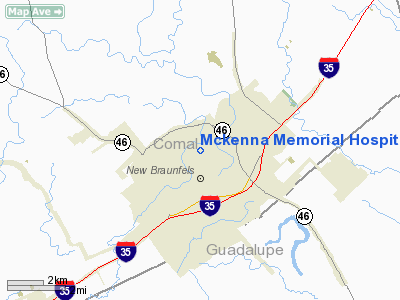
Mckenna Memorial Hospital Heliport |
Location & QuickFacts
| FAA Information Effective: | 2008-09-25 |
| Airport Identifier: | TE60 |
| Airport Status: | Operational |
| Longitude/Latitude: | 098-07-27.0000W/29-42-59.0000N
-98.124167/29.716389 (Estimated) |
| Elevation: | 650 ft / 198.12 m (Estimated) |
| Land: | 0 acres |
| From nearest city: | 0 nautical miles N of New Braunfels, TX |
| Location: | Comal County, TX |
| Magnetic Variation: | 07E (1995) |
Owner & Manager
| Ownership: | Privately owned |
| Owner: | Mckenna Memorial Hospital |
| Address: | 600 N. Union Ave
New Braunfels, TX 78130-4191 |
| Phone number: | 830-606-9111 |
| Manager: | Tim Brierty, Hospital Administrator |
| Address: | 600 N. Union Ave
New Braunfels, TX 78130-4191 |
| Phone number: | 830-606-9111
EXTN 3157. |
Airport Operations and Facilities
| Airport Use: | Private
MEDICAL. |
| Wind indicator: | Yes |
| Segmented Circle: | No |
| Control Tower: | No |
| Lighting Schedule: | DUSK-DAWN |
| Sectional chart: | San Antonio |
| Region: | ASW - Southwest |
| Boundary ARTCC: | ZHU - Houston |
| Tie-in FSS: | SJT - San Angelo |
| FSS Toll Free: | 1-800-WX-BRIEF |
Runway Information
Helipad H1
| Dimension: | 88 x 88 ft / 26.8 x 26.8 m |
| Surface: | CONC, |
| |
Runway H1 |
Runway |
| Traffic Pattern: | Left | Left |
|
Radio Navigation Aids
| ID |
Type |
Name |
Ch |
Freq |
Var |
Dist |
| CVB | NDB | Castroville | | 338.00 | 08E | 44.0 nm |
| ER | NDB | Shein | | 263.00 | 08E | 47.7 nm |
| MFS | NDB | Horseshoe Bay Resort | | 403.00 | 07E | 50.0 nm |
| DHK | TACAN | Randolph | 036X | | 09E | 13.1 nm |
| KSY | TACAN | Kelly | 057X | | 07E | 30.9 nm |
| SSF | VOR | Stinson | | 108.40 | 09E | 32.2 nm |
| RND | VORTAC | Randolph | 70X | 112.30 | 09E | 14.5 nm |
| SAT | VORTAC | San Antonio | 115X | 116.80 | 08E | 18.1 nm |
| STV | VORTAC | Stonewall | 085X | 113.80 | 08E | 42.3 nm |
| SAT | VOT | San Antonio Intl | | 110.40 | | 21.1 nm |
Images and information placed above are from
http://www.airport-data.com/airport/TE60/
We thank them for the data!
| General Info
|
| Country |
United States
|
| State |
TEXAS
|
| FAA ID |
TE60
|
| Latitude |
29-42-59.000N
|
| Longitude |
098-07-27.000W
|
| Elevation |
650 feet
|
| Near City |
NEW BRAUNFELS
|
We don't guarantee the information is fresh and accurate. The data may
be wrong or outdated.
For more up-to-date information please refer to other sources.
|
|


