 |
|
Location & QuickFacts
| FAA Information Effective: | 2008-09-25 |
| Airport Identifier: | 68XS |
| Airport Status: | Operational |
| Longitude/Latitude: | 096-52-11.3400W/33-43-16.6900N
-96.869817/33.721303 (Estimated) |
| Elevation: | 750 ft / 228.60 m (Estimated) |
| Land: | 220 acres |
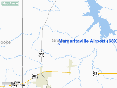
| From nearest city: | 6 nautical miles SE of Whitesboro, TX |
| Location: | Grayson County, TX |
| Magnetic Variation: | 06E (1995) |
Owner & Manager
| Ownership: | Privately owned |
| Owner: | Max Moore |
| Address: | Po Box 1568
Sherman, TX 75091 |
| Phone number: | 405-795-7311 |
| Manager: | Max Moore |
| Address: | Po Box 1568
Sherman, TX 75091 |
| Phone number: | 405-795-7311 |
Airport Operations and Facilities
| Airport Use: | Private |
| Wind indicator: | Yes |
| Segmented Circle: | No |
| Control Tower: | No |
| Sectional chart: | Dallas-ft Worth |
| Region: | ASW - Southwest |
| Boundary ARTCC: | ZFW - Fort Worth |
| Tie-in FSS: | FTW - Fort Worth |
| FSS on Airport: | No |
| FSS Phone: | 817-541-3474 |
| FSS Toll Free: | 1-800-WX-BRIEF |
Runway Information
Runway 07/25
| Dimension: | 1900 x 75 ft / 579.1 x 22.9 m |
| Surface: | TURF, |
| |
Runway 07 |
Runway 25 |
| Traffic Pattern: | Left | Left |
| Obstruction: | 50 ft trees, 100.0 ft from runway | 50 ft trees, 100.0 ft from runway |
|
Runway 17/35
| Dimension: | 2500 x 100 ft / 762.0 x 30.5 m |
| Surface: | TURF, |
| |
Runway 17 |
Runway 35 |
| Traffic Pattern: | Right | Left |
| Obstruction: | 50 ft trees, 100.0 ft from runway | 25 ft pline, 850.0 ft from runway |
|
Radio Navigation Aids
| ID |
Type |
Name |
Ch |
Freq |
Var |
Dist |
| DNI | NDB | Denison | | 341.00 | 06E | 11.7 nm |
| GLE | NDB | Gainesville | | 330.00 | 06E | 16.4 nm |
| DUA | NDB | Durant | | 359.00 | 05E | 27.0 nm |
| AUV | NDB | Arbuckle | | 284.00 | 07E | 28.8 nm |
| HJM | NDB | Rayburn | | 415.00 | 06E | 35.3 nm |
| GMZ | NDB | Grindstone Mountain | | 356.00 | 07E | 45.7 nm |
| URH | VOR/DME | Texoma | 090X | 114.30 | 05E | 27.4 nm |
| CVE | VOR/DME | Cowboy | 109X | 116.20 | 06E | 50.0 nm |
| ADM | VORTAC | Ardmore | 114X | 116.70 | 06E | 33.0 nm |
| BYP | VORTAC | Bonham | 093X | 114.60 | 06E | 33.7 nm |
| UKW | VORTAC | Bowie | 071X | 112.40 | 06E | 48.9 nm |
Images and information placed above are from
http://www.airport-data.com/airport/68XS/
We thank them for the data!
| General Info
|
| Country |
United States
|
| State |
TEXAS
|
| FAA ID |
68XS
|
| Latitude |
33-43-16.690N
|
| Longitude |
096-52-11.340W
|
| Elevation |
750 feet
|
| Near City |
WHITESBORO
|
We don't guarantee the information is fresh and accurate. The data may
be wrong or outdated.
For more up-to-date information please refer to other sources.
|
|


