|
|
 |
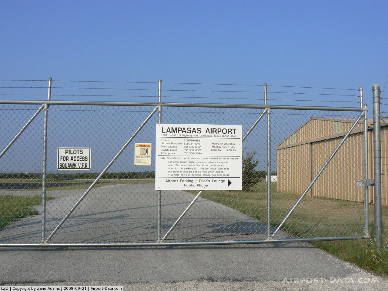
(Click on the photo to enlarge) |
Location & QuickFacts
| FAA Information Effective: | 2008-09-25 |
| Airport Identifier: | LZZ |
| Airport Status: | Operational |
| Longitude/Latitude: | 098-11-45.2150W/31-06-22.2980N
-98.195893/31.106194 (Estimated) |
| Elevation: | 1215 ft / 370.33 m (Surveyed) |
| Land: | 72 acres |
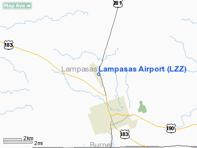
| From nearest city: | 3 nautical miles N of Lampasas, TX |
| Location: | Lampasas County, TX |
| Magnetic Variation: | 08E (1980) |
Owner & Manager
| Ownership: | Publicly owned |
| Owner: | City Of Lampasas |
| Address: | 312 E. 3rd Street
Lampasas, TX 76550 |
| Phone number: | 512-556-6831 |
| Manager: | Micky Tower |
| Address: | 312 E. 3rd Street
Lampasas, TX 76550 |
| Phone number: | 512-734-1076 |
Airport Operations and Facilities
| Airport Use: | Open to public |
| Wind indicator: | Yes |
| Segmented Circle: | Yes |
| Control Tower: | No |
| Lighting Schedule: | DUSK-DAWN
ACTVT MIRL RY 16/34 & PVASI RYS 16 & 34 - CTAF. |
| Beacon Color: | Clear-Green (lighted land airport) |
| Landing fee charge: | No |
| Sectional chart: | San Antonio |
| Region: | ASW - Southwest |
| Boundary ARTCC: | ZHU - Houston |
| Responsible ARTCC: | ZFW - Fort Worth |
| Tie-in FSS: | SJT - San Angelo |
| FSS on Airport: | No |
| FSS Toll Free: | 1-800-WX-BRIEF |
| NOTAMs Facility: | SJT (NOTAM-d service avaliable) |
| Federal Agreements: | NY1 |
Airport Communications
| CTAF: | 122.800 |
| Unicom: | 122.800 |
Airport Services
| Fuel available: | 100LLA |
| Airframe Repair: | MAJOR |
| Power Plant Repair: | MAJOR |
| Bottled Oxygen: | NONE |
| Bulk Oxygen: | NONE |
Runway Information
Runway 16/34
| Dimension: | 4200 x 75 ft / 1280.2 x 22.9 m |
| Surface: | ASPH, Good Condition |
| Weight Limit: | Single wheel: 12500 lbs. |
| Edge Lights: | Medium |
| |
Runway 16 |
Runway 34 |
| Longitude: | 098-11-49.1060W | 098-11-41.3240W |
| Latitude: | 31-06-42.8110N | 31-06-01.7860N |
| Elevation: | 1215.00 ft | 1157.00 ft |
| Alignment: | 127 | 127 |
| Traffic Pattern: | Left | Left |
| Markings: | Non-precision instrument, Good Condition | Non-precision instrument, Good Condition |
| Crossing Height: | 44.00 ft | 40.00 ft |
| VASI: | pulsating/steady burning on left side | pulsating/steady burning on left side |
| Visual Glide Angle: | 3.00° | 3.00° |
| Obstruction: | 11 ft trees, 750.0 ft from runway, 140 ft right of centerline, 50:1 slope to clear | 12 ft tree, 522.0 ft from runway, 105 ft left of centerline, 27:1 slope to clear |
|
Radio Navigation Aids
| ID |
Type |
Name |
Ch |
Freq |
Var |
Dist |
| GR | NDB | Starn | | 323.00 | 07E | 16.8 nm |
| BMQ | NDB | Burnet | | 341.00 | 07E | 22.1 nm |
| HLR | NDB | Hood | | 347.00 | 07E | 25.0 nm |
| IL | NDB | Iresh | | 278.00 | 07E | 25.6 nm |
| MNZ | NDB | Hamilton | | 251.00 | 07E | 31.0 nm |
| MFS | NDB | Horseshoe Bay Resort | | 403.00 | 07E | 36.0 nm |
| GUO | NDB | Georgetown | | 332.00 | 06E | 36.8 nm |
| GRK | VOR/DME | Gray | 055X | 111.80 | 07E | 20.2 nm |
| TPL | VOR/DME | Temple | 041X | 110.40 | 09E | 40.1 nm |
| LZZ | VORTAC | Lampasas | 072X | 112.50 | 08E | 5.5 nm |
| LLO | VORTAC | Llano | 019X | 108.20 | 08E | 35.7 nm |
Remarks
- DEER ON & INVOF ARPT AT NIGHT.
- RY 16 BASED ON 13 MPH AUSTIN WINDROSE.
Images and information placed above are from
http://www.airport-data.com/airport/LZZ/
We thank them for the data!
| General Info
|
| Country |
United States
|
| State |
TEXAS
|
| FAA ID |
LZZ
|
| Time |
UTC-6(-5DT)
|
| Latitude |
31.106194
31° 06' 22.30" N
|
| Longitude |
-98.195894
098° 11' 45.22" W
|
| Elevation |
1215 feet
370 meters
|
| Type |
Civil
|
| Magnetic Variation |
005° E (01/06)
|
| Beacon |
Yes
|
| Operating Agency |
U.S.CIVIL AIRPORT WHEREIN PERMIT COVERS USE BY TRANSIT MILITARY AIRCRAFT
|
| Operating Hours |
SEE REMARKS FOR OPERATING HOURS OR COMMUNICATIONS FOR POSSIBLE HOURS
|
| Daylight Saving Time |
Second Sunday in March at 0200 to first Sunday in November at 0200 local time (Exception Arizona and that portion of Indiana in the Eastern Time Zone)
|
We don't guarantee the information is fresh and accurate. The data may
be wrong or outdated.
For more up-to-date information please refer to other sources.
|
|