|
|
| Lakeway Airpark |
| IATA: none – ICAO: none – FAA LID: 3R9 |
| Summary |
| Airport type |
Public |
| Owner/Operator |
Lakeway Airpark, Inc. |
| Serves |
Austin, Texas |
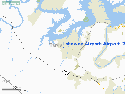
| Location |
Lakeway, Texas |
| Elevation AMSL |
909 ft / 277 m |
| Coordinates |
30°21′27″N 097°59′40″W / 30.3575°N 97.99444°W / 30.3575; -97.99444 |
| Website |
www.3r9.org |
| Runways |
| Direction |
Length |
Surface |
| ft |
m |
| 16/34 |
3,930 |
1,198 |
Asphalt |
| Statistics (2008) |
| Aircraft operations |
9,000 |
| Based aircraft |
58 |
| Source: Federal Aviation Administration |
Lakeway Airpark (FAA LID: 3R9) is a public use airport in Travis County, Texas, United States. The airport is 17 nautical miles (31 km) west of the central business district of Austin. It is privately owned by Lakeway Airpark, Inc. and is located in Lakeway, Texas.
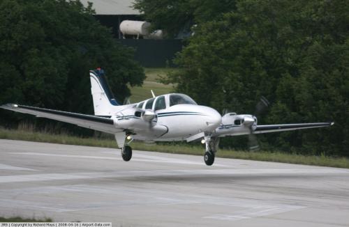
From 1939 to 1946 it was called Airfield Ranch. It takes helicopters, multi and single engined planes, small Learjets, and STOL aircraft. Its most common planes are Cessna 172s and Cirrus SR22s. It has a flight building and 4 hangars. Flight lessons are available at the airport as well as at Rusty Allen Airport in Lago Vista, Texas across the lake. In 2009, it gave free plane rides and had 3,589 visitors instead of the expected 750. The airport is considering making a yearly event of its free airplane rides. Based at the Airpark are 11 SR22s, 16 Cessna 172s, 4 Beechcraft Bononzas, 1 Cessna 192, 3 Cessna 182s, 1 Learjet Falcon 20, 3 Beechcraft Baron 52s, 1 Cessna 206, 2 Piper Cubs, 1 motorized DG Flougobau 808G, 3 Beechcraft 350s, 5 Mooney Bravos, and 2 helicopters.
Facilities and aircraft
Lakeway Airpark covers an area of 15 acres (6 ha) at an elevation of 909 feet (277 m) above mean sea level. It has one runway designated 16/34 with an asphalt surface measuring 3,930 by 70 feet (1,198 x 21 m).
A 3,200-foot (980 m) runway was made in 1936. In 1989 it was expanded to a 3,930-foot-long (1,200 m) and 70-foot-wide (21 m) runway. The runway end zones were extended in 2003.
For the 12-month period ending February 29, 2008, the airport had 9,000 general aviation aircraft operations, an average of 24 per day. At that time there were 58 aircraft based at this airport: 95% single-engine and 5% multi-engine.
The above content comes from Wikipedia and is published under free licenses – click here to read more.
 |
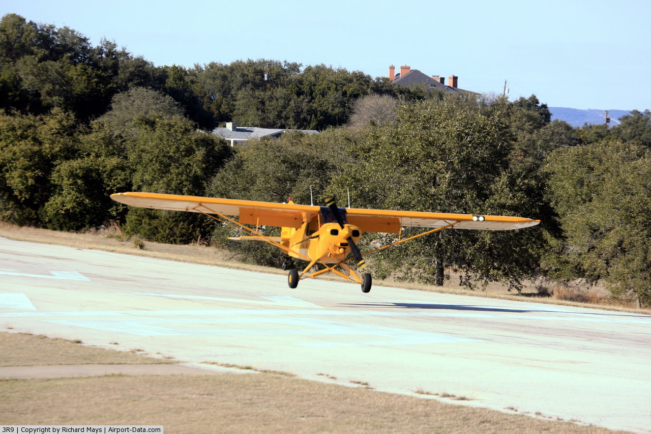
(Click on the photo to enlarge) |
 |
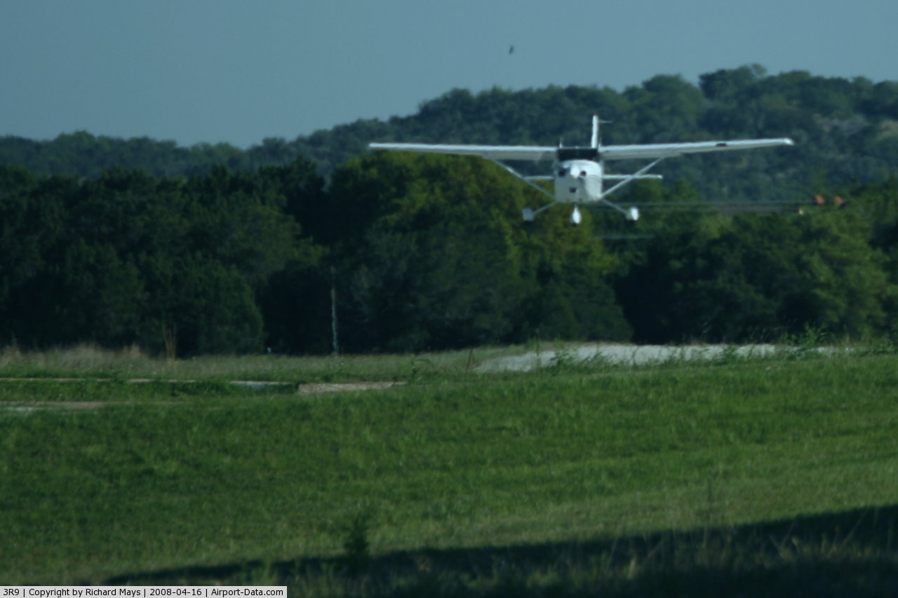
(Click on the photo to enlarge) |
 |
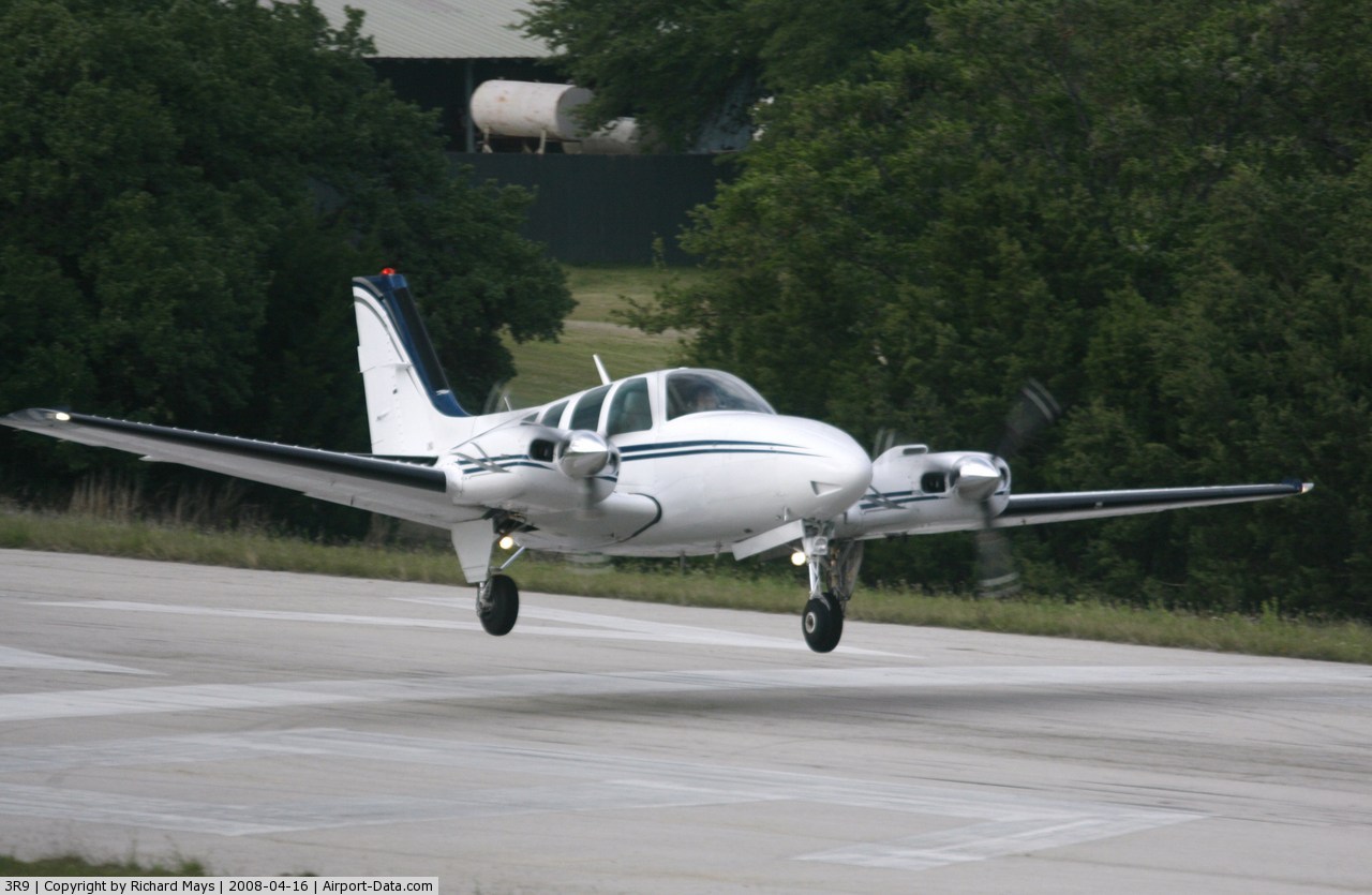
(Click on the photo to enlarge) |
Location & QuickFacts
| FAA Information Effective: | 2008-09-25 |
| Airport Identifier: | 3R9 |
| Airport Status: | Operational |
| Longitude/Latitude: | 097-59-40.0840W/30-21-26.9680N
-97.994468/30.357491 (Estimated) |
| Elevation: | 909 ft / 277.06 m (Surveyed) |
| Land: | 15 acres |
| From nearest city: | 17 nautical miles W of Austin, TX |
| Location: | Travis County, TX |
| Magnetic Variation: | 07E (1980) |
Owner & Manager
| Ownership: | Privately owned |
| Owner: | Lakeway Airpark Inc |
| Address: | 115 Flying Scot
Lakeway, TX 78734 |
| Phone number: | 512-261-4385 |
| Manager: | Airpark Board |
| Address: | 115 Flying Scot
Lakeway, TX 78734 |
| Phone number: | 512-261-4385 |
Airport Operations and Facilities
| Airport Use: | Open to public |
| Wind indicator: | Yes |
| Segmented Circle: | No |
| Control Tower: | No |
| Landing fee charge: | Yes
LNDG FEE FOR TURBINES & JETS. OVERNIGHT TIEDOWN FEE. |
| Sectional chart: | San Antonio |
| Region: | ASW - Southwest |
| Traffic Pattern Alt: | 991 ft |
| Boundary ARTCC: | ZHU - Houston |
| Tie-in FSS: | SJT - San Angelo |
| FSS on Airport: | No |
| FSS Toll Free: | 1-800-WX-BRIEF |
| NOTAMs Facility: | SJT (NOTAM-d service avaliable) |
Airport Communications
| CTAF: | 123.000 |
| Unicom: | 123.000 |
Airport Services
| Fuel available: | 100LL
FUEL SELF-SERVICE WITH CREDIT CARD. |
Runway Information
Runway 16/34
| Dimension: | 3930 x 70 ft / 1197.9 x 21.3 m |
| Surface: | ASPH, Fair Condition |
| Weight Limit: | Single wheel: 9000 lbs. |
| |
Runway 16 |
Runway 34 |
| Longitude: | 097-59-44.4491W | 097-59-35.7200W |
| Latitude: | 30-21-46.0451N | 30-21-07.8900N |
| Elevation: | 882.00 ft | 909.00 ft |
| Alignment: | 127 | 127 |
| Traffic Pattern: | Left | Left |
| Markings: | Nonstandard, Fair Condition
RY 16/34 MARKED WITH NBRS, CENTERLINE AND AIMING POINTS ONLY. | Nonstandard, Fair Condition |
| Displaced threshold: | 782.00 ft | 624.00 ft |
| Obstruction: | 26 ft tree, 200.0 ft from runway, 112 ft right of centerline
APCH RATIO 1:1 FM DSPLCD THLD; +30 FT TREE 162 FT LEFT 30 FT FM DSPLCD THLD.
+3 FT BANK 70 FT R OF CNTRLN AT THLD; +15 FT TREES 112 FT R FM THLD TO 200 FT, +8 FT TREES 60 FT LEFT FM THLD TO 40 FT FM THLD. | 25 ft trees, 200.0 ft from runway
APCH RATIO 0:1 FM DSPLCD THLD TO 22 FT BLDG & TREES 208 FT LEFT AT DSPLCD THLD.
+25 FT TREES FM 90 FT TO 200 FT FM THLD ACROSS APCH. |
|
Radio Navigation Aids
| ID |
Type |
Name |
Ch |
Freq |
Var |
Dist |
| MFS | NDB | Horseshoe Bay Resort | | 403.00 | 07E | 21.3 nm |
| GUO | NDB | Georgetown | | 332.00 | 06E | 25.5 nm |
| BMQ | NDB | Burnet | | 341.00 | 07E | 26.2 nm |
| IL | NDB | Iresh | | 278.00 | 07E | 42.7 nm |
| HLR | NDB | Hood | | 347.00 | 07E | 48.6 nm |
| GR | NDB | Starn | | 323.00 | 07E | 49.1 nm |
| GRK | VOR/DME | Gray | 055X | 111.80 | 07E | 41.7 nm |
| CWK | VORTAC | Centex | 075X | 112.80 | 06E | 24.1 nm |
| STV | VORTAC | Stonewall | 085X | 113.80 | 08E | 38.0 nm |
| LLO | VORTAC | Llano | 019X | 108.20 | 08E | 48.8 nm |
| SAT | VORTAC | San Antonio | 115X | 116.80 | 08E | 49.3 nm |
Remarks
- NO TGLS.
- MAINTAIN RY HEADING UNTIL 400 FT AGL (1300 FT MSL) FOR NOISE ABATEMENT.
- BLDGS, TREES & PARKED ACFT NEAR RY.
- 2-WAY RADIO COMMUNICATIONS REQUIRED ON UNICOM FREQ - UNICOM NOT MONITORED.
- NO OPNS SS-SR PER CITY ORDINANCE.
- RY 16 +50 FT HILL WITH +30 FT PLINES & HOUSE ON HILL; 800 FT FM THLD ON CNTRLN.
- DEER ON & INVOF ARPT.
- TREES APPROX 120 FT FM CNTRLN W OF RY OBSTRUCT PRIM SFC.
- ARPT OPNS LMTD TO ACFT CERTIFIED MAX GROSS WEIGHT 12,500 LBS OR LESS.
- ULTRALIGHT AND GLIDER OPNS PROHIBIT.
Images and information placed above are from
http://www.airport-data.com/airport/3R9/
We thank them for the data!
| General Info
|
| Country |
United States
|
| State |
TEXAS
|
| FAA ID |
3R9
|
| Latitude |
30-21-27.300N
|
| Longitude |
097-59-40.100W
|
| Elevation |
909 feet
|
| Near City |
AUSTIN
|
We don't guarantee the information is fresh and accurate. The data may
be wrong or outdated.
For more up-to-date information please refer to other sources.
|
|