|
|
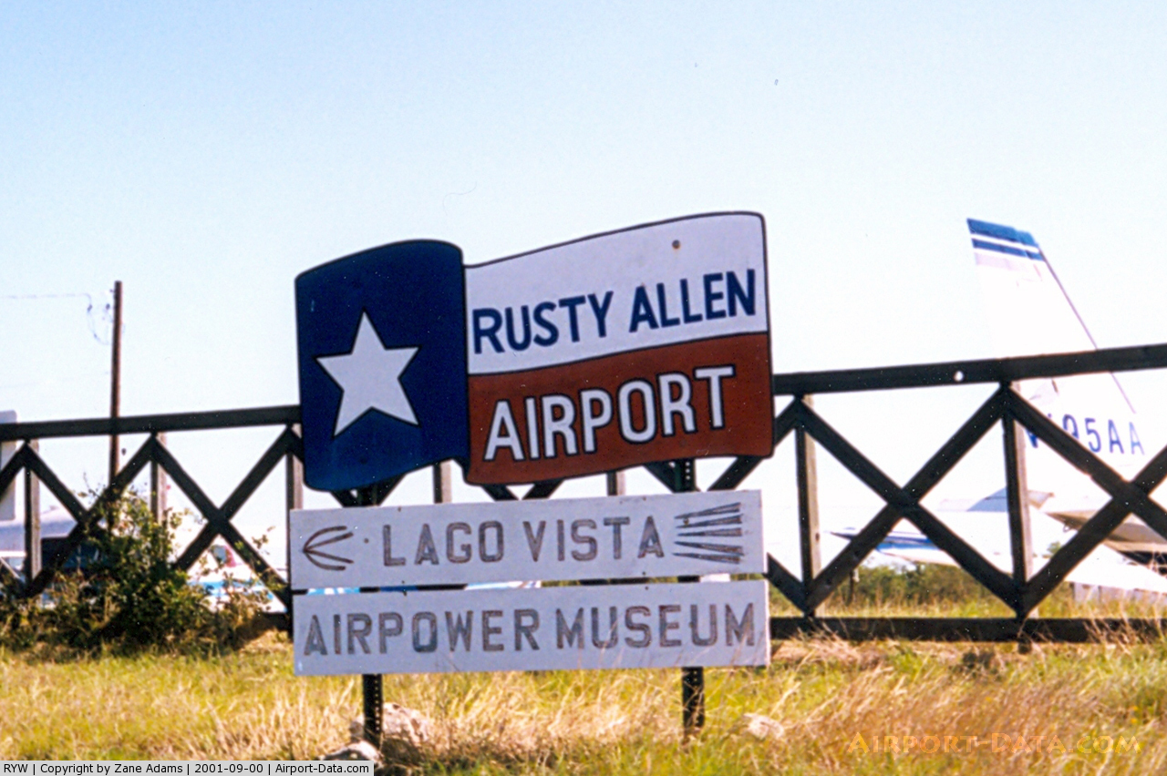
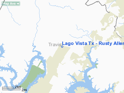
Lago Vista Tx - Rusty Allen Airport |
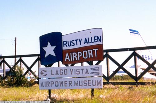 |
(Click on the photo to enlarge) |
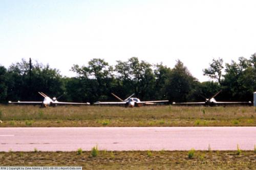 |
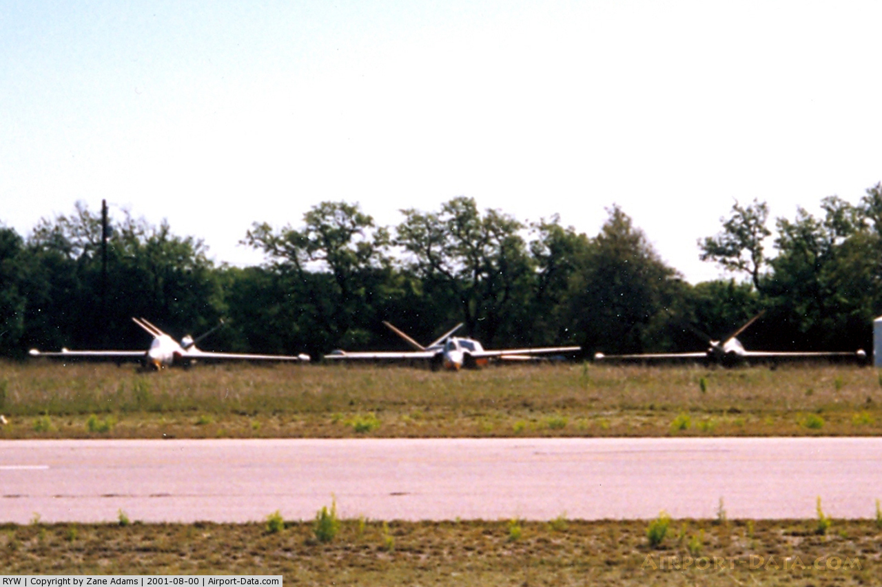
(Click on the photo to enlarge) |
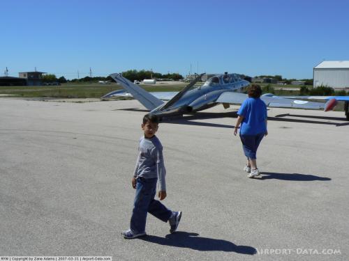 |
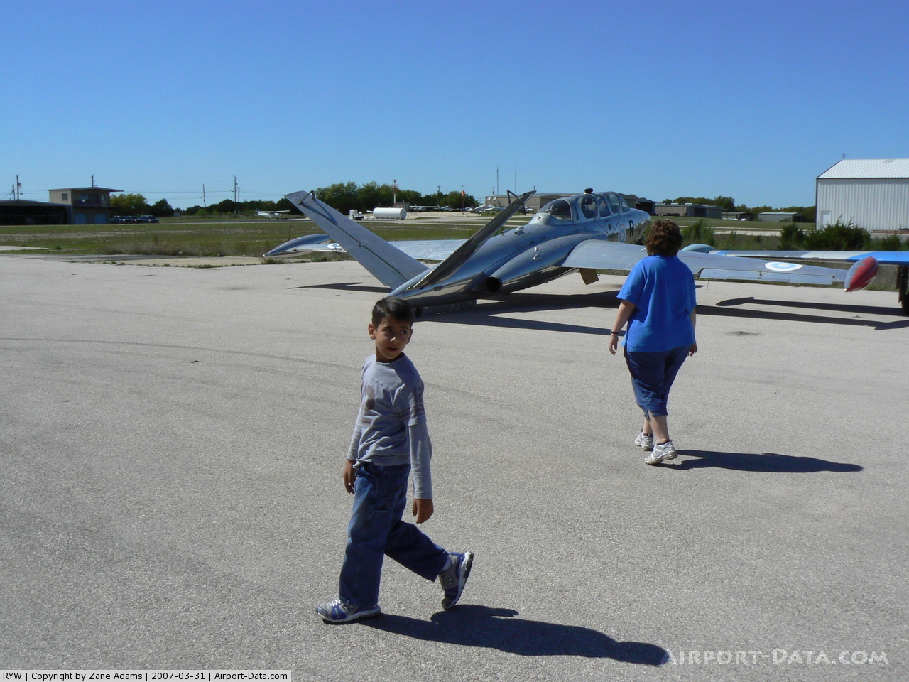
(Click on the photo to enlarge) |
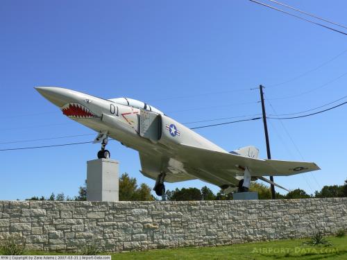 |
(Click on the photo to enlarge) |
Location & QuickFacts
| FAA Information Effective: | 2008-09-25 |
| Airport Identifier: | RYW |
| Airport Status: | Operational |
| Longitude/Latitude: | 097-58-10.1000W/30-29-54.9060N
-97.969472/30.498585 (Estimated) |
| Elevation: | 1231 ft / 375.21 m (Surveyed) |
| Land: | 50 acres |
| From nearest city: | 2 nautical miles NE of Lago Vista, TX |
| Location: | Travis County, TX |
| Magnetic Variation: | 07E (1980) |
Owner & Manager
| Ownership: | Publicly owned |
| Owner: | City Of Lago Vista |
| Address: | 308 Flight Line Rd
Lago Vista, TX 78645 |
| Phone number: | 512-267-3253
OR 512-267-1155. |
| Manager: | Horace Miller |
| Address: | 308 Flight Line Rd
Lago Vista, TX 78645 |
| Phone number: | 512-267-4573
24 HRS PHONE 512-267-7141 (POLICE DISPATCHER). |
Airport Operations and Facilities
| Airport Use: | Open to public |
| Wind indicator: | Yes |
| Segmented Circle: | No |
| Control Tower: | No |
| Lighting Schedule: | DUSK-DAWN
MIRL RY 15/33 PRESET LOW INTST; TO INCR INTST ACTVT - CTAF. PAPI RYS 15 & 33 OPER CONT. |
| Beacon Color: | Clear-Green (lighted land airport) |
| Sectional chart: | San Antonio |
| Region: | ASW - Southwest |
| Boundary ARTCC: | ZHU - Houston |
| Tie-in FSS: | SJT - San Angelo |
| FSS on Airport: | No |
| FSS Toll Free: | 1-800-WX-BRIEF |
| NOTAMs Facility: | SJT (NOTAM-d service avaliable) |
| Federal Agreements: | N |
Airport Communications
| CTAF: | 122.725 |
| Unicom: | 122.725 |
Airport Services
| Fuel available: | 100LL |
| Airframe Repair: | MAJOR |
| Power Plant Repair: | MAJOR |
Runway Information
Runway 15/33
| Dimension: | 3808 x 50 ft / 1160.7 x 15.2 m |
| Surface: | ASPH, Good Condition |
| Weight Limit: | Single wheel: 12500 lbs.
GWT PER ARPT MGR. |
| Edge Lights: | Medium |
| |
Runway 15 |
Runway 33 |
| Longitude: | 097-58-17.0370W | 097-58-03.0790W |
| Latitude: | 30-30-12.7630N | 30-29-37.0650N |
| Elevation: | 1231.00 ft | 1210.00 ft |
| Alignment: | 127 | 127 |
| Traffic Pattern: | Left | Left |
| Markings: | Non-precision instrument, Good Condition | Non-precision instrument, Good Condition |
| Crossing Height: | 55.00 ft | 30.00 ft |
| VASI: | 2-light PAPI on left side | 2-light PAPI on left side |
| Visual Glide Angle: | 4.00° | 3.50° |
| Obstruction: | 20 ft trees, 200.0 ft from runway, 125 ft right of centerline
+20 FT TREES 0-200 FT FM RY END 125 FT L & R. | 10 ft pline, 200.0 ft from runway, 234 ft left of centerline
+7 FT HANGAR 159 FT L 10 FT FM THLD & +15 FT HANGAR 223 FT R FM 127 FT TO 187 FT FM THLD. |
|
Radio Navigation Aids
| ID |
Type |
Name |
Ch |
Freq |
Var |
Dist |
| GUO | NDB | Georgetown | | 332.00 | 06E | 18.7 nm |
| BMQ | NDB | Burnet | | 341.00 | 07E | 20.0 nm |
| MFS | NDB | Horseshoe Bay Resort | | 403.00 | 07E | 20.2 nm |
| IL | NDB | Iresh | | 278.00 | 07E | 34.3 nm |
| HLR | NDB | Hood | | 347.00 | 07E | 40.2 nm |
| GR | NDB | Starn | | 323.00 | 07E | 40.5 nm |
| GRK | VOR/DME | Gray | 055X | 111.80 | 07E | 33.1 nm |
| CWK | VORTAC | Centex | 075X | 112.80 | 06E | 23.9 nm |
| STV | VORTAC | Stonewall | 085X | 113.80 | 08E | 42.0 nm |
| LZZ | VORTAC | Lampasas | 072X | 112.50 | 08E | 42.2 nm |
| LLO | VORTAC | Llano | 019X | 108.20 | 08E | 45.9 nm |
Remarks
- DEER (SEASONAL) ON & INVOF RYS AND TWYS.
- UNICOM NOT MONITORED.
Images and information placed above are from
http://www.airport-data.com/airport/RYW/
We thank them for the data!
|
|