 |
|
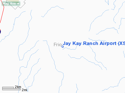
Location & QuickFacts
| FAA Information Effective: | 2008-09-25 |
| Airport Identifier: | XS40 |
| Airport Status: | Operational |
| Longitude/Latitude: | 099-00-01.1110W/28-48-00.9130N
-99.000309/28.800254 (Estimated) |
| Elevation: | 666 ft / 203.00 m (Estimated) |
| Land: | 0 acres |
| From nearest city: | 8 nautical miles SE of Pearsall, TX |
| Location: | Frio County, TX |
| Magnetic Variation: | 07E (1985) |
Owner & Manager
| Ownership: | Privately owned |
| Owner: | John G. Kain |
| Address: | Box 1433
Pearsall, TX 78061 |
| Phone number: | 512-466-5492 |
| Manager: | John G. Kain |
| Address: | Box 1433
Pearsall, TX 78061 |
| Phone number: | 512-466-5492 |
Airport Operations and Facilities
| Airport Use: | Private |
| Wind indicator: | No |
| Segmented Circle: | No |
| Control Tower: | No |
| Landing fee charge: | No |
| Sectional chart: | San Antonio |
| Region: | ASW - Southwest |
| Boundary ARTCC: | ZHU - Houston |
| Tie-in FSS: | SJT - San Angelo |
| FSS on Airport: | No |
| FSS Toll Free: | 1-800-WX-BRIEF |
Airport Services
| Airframe Repair: | NONE |
| Power Plant Repair: | NONE |
Runway Information
Runway 13/31
| Dimension: | 3000 x 40 ft / 914.4 x 12.2 m |
| Surface: | ASPH, |
| |
Runway 13 |
Runway 31 |
| Traffic Pattern: | Left | Left |
|
Radio Navigation Aids
| ID |
Type |
Name |
Ch |
Freq |
Var |
Dist |
| HHH | NDB | Devine | | 359.00 | 07E | 20.6 nm |
| PEZ | NDB | Pleasanton | | 275.00 | 07E | 27.0 nm |
| CVB | NDB | Castroville | | 338.00 | 08E | 33.8 nm |
| HMA | NDB | Hondo | | 329.00 | 08E | 35.6 nm |
| UVA | NDB | Uvalde | | 281.00 | 07E | 44.4 nm |
| LKX | NDB | La Pryor | | 223.00 | 09E | 45.7 nm |
| DMD | NDB | Dimmit County | | 343.00 | 07E | 46.7 nm |
| KSY | TACAN | Kelly | 057X | | 07E | 41.8 nm |
| SSF | VOR | Stinson | | 108.40 | 09E | 40.2 nm |
| HDO | VOR/DME | Hondo | 31X | 109.40 | 08E | 34.3 nm |
| COT | VORTAC | Cotulla | 105X | 115.80 | 09E | 21.3 nm |
| THX | VORTAC | Three Rivers | 051X | 111.40 | 08E | 48.2 nm |
Remarks
- MAY BE EXEMPT UNDER GRANDFATHER CLAUSE.
Images and information placed above are from
http://www.airport-data.com/airport/XS40/
We thank them for the data!
| General Info
|
| Country |
United States
|
| State |
TEXAS
|
| FAA ID |
XS40
|
| Latitude |
28-48-00.913N
|
| Longitude |
099-00-01.111W
|
| Elevation |
666 feet
|
| Near City |
PEARSALL
|
We don't guarantee the information is fresh and accurate. The data may
be wrong or outdated.
For more up-to-date information please refer to other sources.
|
|


