|
|
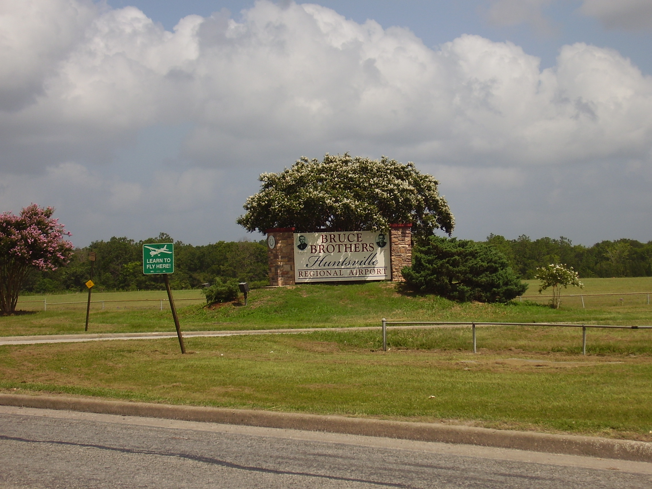
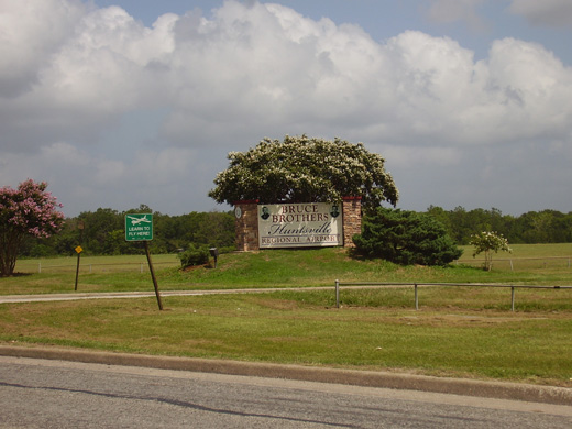
| Bruce Brothers Huntsville Regional Airport |
 |
| IATA: HTV – ICAO: KUTS – FAA LID: UTS |
| Summary |
| Airport type |
Public |
| Owner |
City of Huntsville |
| Serves |
Huntsville, Texas |
| Elevation AMSL |
363 ft / 111 m |
| Coordinates |
30°44′49″N 095°35′14″W / 30.74694°N 95.58722°W / 30.74694; -95.58722 |
| Runways |
| Direction |
Length |
Surface |
| ft |
m |
| 18/36 |
5,005 |
1,526 |
Asphalt |
| Statistics (2008) |
| Aircraft operations |
12,850 |
| Source: Federal Aviation Administration |
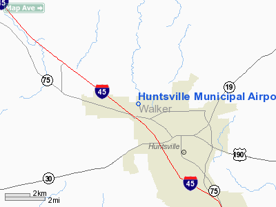
Bruce Brothers Huntsville Regional Airport (IATA: HTV, ICAO: KUTS, FAA LID: UTS) is a city-owned public-use airport located in Huntsville, Texas. It is two nautical miles (3.7 kilometers (2.3 mi) northwest of the central business district of Huntsville. Although most U.S. airports use the same three-letter location identifier for the FAA and IATA, this airport is assigned UTS by the FAA and HTV by the IATA. History
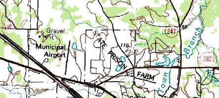 | |
Topographical map of the airport and the Wynne Unit, July 1, 1983 - U.S. Geological Survey |
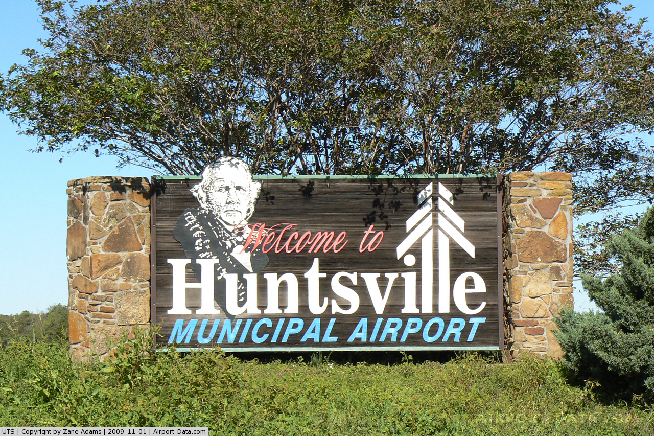
In 2009 the Huntsville City Council had approved a name change of the airport from Huntsville Municipal Airport to the current name, Bruce Brothers Huntsville Regional Airport. On May 28, 2010, the airport was rededicated in honor of two World War II veterans, Harry Joe Bruce and Reeves "Jeep" Bruce, who died during the course of that war. The ribbon cutting was scheduled to be held on that day.
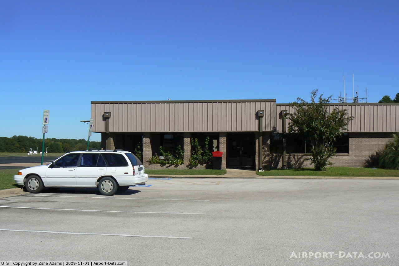
Facilities and aircraft
Huntsville Municipal Airport covers an area of 180 acres (73 ha) at an elevation of 363 feet (111 m) above mean sea level. It has one asphalt paved runway designated 18/36 which measures 5,005 by 100 feet (1,526 x 30 m).
For the 12-month period ending July 16, 2008, the airport had 12,850 aircraft operations, an average of 35 per day: 79% general aviation, 19% military and 1% air taxi.
The above content comes from Wikipedia and is published under free licenses – click here to read more.
 |
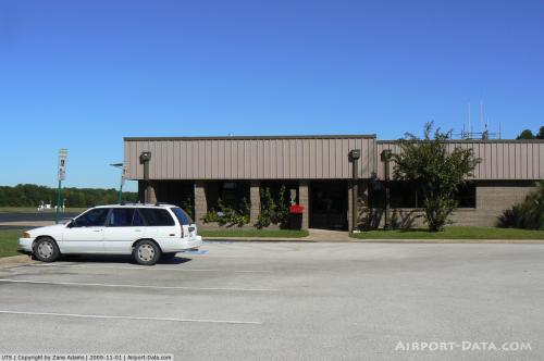
(Click on the photo to enlarge) |
 |
(Click on the photo to enlarge) |
Location & QuickFacts
| FAA Information Effective: | 2008-09-25 |
| Airport Identifier: | UTS |
| Airport Status: | Operational |
| Longitude/Latitude: | 095-35-13.8000W/30-44-48.8000N
-95.587167/30.746889 (Estimated) |
| Elevation: | 363 ft / 110.64 m (Surveyed) |
| Land: | 180 acres |
| From nearest city: | 2 nautical miles NW of Huntsville, TX |
| Location: | Walker County, TX |
| Magnetic Variation: | 06E (1990) |
Owner & Manager
| Ownership: | Publicly owned |
| Owner: | City Of Huntsville |
| Address: | 1212 Avenue M
Huntsville, TX 77340 |
| Phone number: | 936-295-6471 |
| Manager: | Wade Gillaspie Jr |
| Address: | 1000 Airport Dr
Huntsville, TX 77320 |
| Phone number: | 936-295-8136 |
Airport Operations and Facilities
| Airport Use: | Open to public |
| Wind indicator: | Yes |
| Segmented Circle: | Yes |
| Control Tower: | No |
| Lighting Schedule: | DUSK-DAWN
MIRL RY 18/36 PRESET LOW INTST; TO INCR INTST & ACTVT REIL RYS 18 & 36 - CTAF. |
| Beacon Color: | Clear-Green (lighted land airport) |
| Landing fee charge: | No |
| Sectional chart: | Houston |
| Region: | ASW - Southwest |
| Boundary ARTCC: | ZHU - Houston |
| Tie-in FSS: | CXO - Montgomery County |
| FSS on Airport: | No |
| FSS Toll Free: | 1-800-WX-BRIEF
FOR FP FILING CALL CXO FSS 1-800-833-5602. |
| NOTAMs Facility: | UTS (NOTAM-d service avaliable) |
| Federal Agreements: | NGY |
Airport Communications
| CTAF: | 122.800 |
| Unicom: | 122.800 |
Airport Services
| Fuel available: | 100LLA |
| Airframe Repair: | MAJOR |
| Power Plant Repair: | MAJOR |
| Bottled Oxygen: | NONE |
| Bulk Oxygen: | NONE |
Runway Information
Runway 18/36
| Dimension: | 5005 x 100 ft / 1525.5 x 30.5 m |
| Surface: | ASPH, Good Condition |
| Weight Limit: | Single wheel: 27000 lbs. |
| Edge Lights: | Medium |
| |
Runway 18 |
Runway 36 |
| Longitude: | 095-35-10.8723W | 095-35-16.6492W |
| Latitude: | 30-45-13.4202N | 30-44-24.1407N |
| Elevation: | 299.00 ft | 362.00 ft |
| Alignment: | 127 | 6 |
| Traffic Pattern: | Left | Left |
| Markings: | Non-precision instrument, Good Condition | Non-precision instrument, Good Condition |
| Crossing Height: | 0.00 ft | 40.00 ft |
| VASI: | 4-light PAPI on left side | 4-light PAPI on left side |
| Visual Glide Angle: | 0.00° | 2.83° |
| Runway End Identifier: | Yes | Yes |
| Obstruction: | 19 ft trees, 389.0 ft from runway, 230 ft right of centerline, 9:1 slope to clear
8-12 FT BRUSH AND TREES FM THLD TO 200 FT; 150 FT RIGHT. | 21 ft pole, 853.0 ft from runway, 261 ft left of centerline, 33:1 slope to clear |
|
Radio Navigation Aids
| ID |
Type |
Name |
Ch |
Freq |
Var |
Dist |
| UTS | NDB | Huntsville | | 308.00 | 06E | 0.4 nm |
| DWH | NDB | David Hooks | | 521.00 | 05E | 37.4 nm |
| EYQ | NDB | Weiser | | 286.00 | 06E | 48.9 nm |
| BVP | NDB | Nixin | | 326.00 | 05E | 49.2 nm |
| LOA | VORTAC | Leona | 045X | 110.80 | 08E | 30.0 nm |
| TNV | VORTAC | Navasota | 106X | 115.90 | 08E | 36.8 nm |
| CLL | VORTAC | College Station | 080X | 113.30 | 08E | 43.9 nm |
| IAH | VORTAC | Humble | 113X | 116.60 | 05E | 49.1 nm |
Images and information placed above are from
http://www.airport-data.com/airport/UTS/
We thank them for the data!
| General Info
|
| Country |
United States
|
| State |
TEXAS
|
| FAA ID |
UTS
|
| Latitude |
30-44-48.792N
|
| Longitude |
095-35-13.800W
|
| Elevation |
363 feet
|
| Near City |
HUNTSVILLE
|
We don't guarantee the information is fresh and accurate. The data may
be wrong or outdated.
For more up-to-date information please refer to other sources.
|
|