 |
|
Location & QuickFacts
| FAA Information Effective: | 2008-09-25 |
| Airport Identifier: | 16TE |
| Airport Status: | Operational |
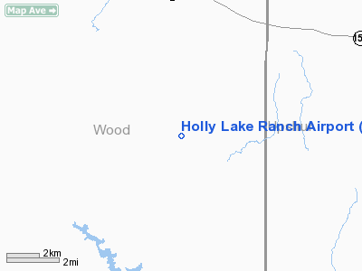
| Longitude/Latitude: | 095-12-27.8030W/32-41-51.4860N
-95.207723/32.697635 (Estimated) |
| Elevation: | 409 ft / 124.66 m (Estimated) |
| Land: | 0 acres |
| From nearest city: | 7 nautical miles N of Hawkins, TX |
| Location: | Wood County, TX |
| Magnetic Variation: | 08E (1965) |
Owner & Manager
| Ownership: | Privately owned |
| Owner: | Silverleaf |
| Address: | Po Box 358
Dallas, TX 75221 |
| Phone number: | 214-969-9068 |
| Manager: | Robert James |
| Address: | Rt 1, Box 698
Big Sandy, TX 75755 |
| Phone number: | 903-769-3646 |
Airport Operations and Facilities
| Airport Use: | Private |
| Segmented Circle: | No |
| Control Tower: | No |
| Lighting Schedule: | RDO-CTL
ACTVT LIRL RY 09/27 - 122.9. |
| Landing fee charge: | No |
| Sectional chart: | Dallas-ft Worth |
| Region: | ASW - Southwest |
| Boundary ARTCC: | ZFW - Fort Worth |
| Tie-in FSS: | FTW - Fort Worth |
| FSS on Airport: | No |
| FSS Phone: | 817-541-3474 |
| FSS Toll Free: | 1-800-WX-BRIEF |
Airport Services
| Airframe Repair: | NONE |
| Power Plant Repair: | NONE |
Runway Information
Runway 09/27
| Dimension: | 2700 x 30 ft / 823.0 x 9.1 m
RY 27 FIRST 500 FT FOR TKOFFS ONLY. |
| Surface: | ASPH, |
| Edge Lights: | Low |
| |
Runway 09 |
Runway 27 |
| Traffic Pattern: | Left | Left |
|
Radio Navigation Aids
| ID |
Type |
Name |
Ch |
Freq |
Var |
Dist |
| ABG | NDB | Ambassador | | 404.00 | 07E | 8.3 nm |
| TY | NDB | Tyler | | 320.00 | 06E | 21.5 nm |
| LST | NDB | Lone Star | | 305.00 | 05E | 27.2 nm |
| HNO | NDB | Henderson | | 371.00 | 06E | 35.3 nm |
| AHX | NDB | Athens | | 269.00 | 06E | 45.2 nm |
| SYW | NDB | Cash | | 428.00 | 05E | 46.7 nm |
| JSO | NDB | Cherokee County | | 263.00 | 05E | 49.7 nm |
| MJF | TACAN | Arvilla | 033X | | 05E | 48.5 nm |
| UIM | VOR/DME | Quitman | 087X | 114.00 | 08E | 13.6 nm |
| TYR | VOR/DME | Tyler | 089X | 114.20 | 06E | 22.8 nm |
| SLR | VOR/DME | Sulphur Springs | 027X | 109.00 | 08E | 34.5 nm |
| FZT | VOR/DME | Frankston | 051X | 111.40 | 06E | 40.9 nm |
| GGG | VORTAC | Gregg County | 070X | 112.30 | 07E | 28.5 nm |
Images and information placed above are from
http://www.airport-data.com/airport/16TE/
We thank them for the data!
| General Info
|
| Country |
United States
|
| State |
TEXAS
|
| FAA ID |
16TE
|
| Latitude |
32-41-51.486N
|
| Longitude |
095-12-27.803W
|
| Elevation |
409 feet
|
| Near City |
HAWKINS
|
We don't guarantee the information is fresh and accurate. The data may
be wrong or outdated.
For more up-to-date information please refer to other sources.
|
|


