|
|
| Hillsboro Municipal Airport |
| IATA: none – ICAO: KINJ – FAA LID: INJ |
| Summary |
| Airport type |
Public |
| Owner/Operator |
City of Hillsboro |
| Serves |
Hillsboro, Texas |
| Elevation AMSL |
686 ft / 209 m |
| Coordinates |
32°05′01″N 097°05′50″W / 32.08361°N 97.09722°W / 32.08361; -97.09722 |
| Website |
HillsboroTX.org/... |
| Runways |
| Direction |
Length |
Surface |
| ft |
m |
| 16/34 |
3,998 |
1,219 |
Asphalt |
| Statistics (2008) |
| Aircraft operations |
6,000 |
| Source: Federal Aviation Administration |
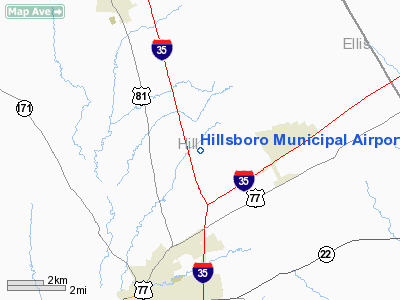
Hillsboro Municipal Airport (ICAO: KINJ, FAA LID: INJ) is a city-owned public-use airport located five nautical miles (9 km) north of the central business district of the City of Hillsboro, in Hill County, Texas, United States.
Although most U.S. airports use the same three-letter location identifier for the FAA and IATA, this airport is assigned INJ by the FAA but has no designation from the IATA (which assigned INJ to Injune, Queensland, Australia).
Facilities and aircraft
Hillsboro Municipal Airport covers an area of 130 acres (53 ha) at an elevation of 686 feet (209 m) above mean sea level. It has one asphalt paved runway designated 16/34 which measures 3,998 by 60 feet (1,219 x 18 m). For the 12-month period ending August 7, 2008, the airport had 6,000 general aviation aircraft operations, an average of 16 per day.
The above content comes from Wikipedia and is published under free licenses – click here to read more.
 |
(Click on the photo to enlarge) |
Location & QuickFacts
| FAA Information Effective: | 2008-09-25 |
| Airport Identifier: | INJ |
| Airport Status: | Operational |
| Longitude/Latitude: | 097-05-50.1000W/32-05-01.1000N
-97.097250/32.083639 (Estimated) |
| Elevation: | 686 ft / 209.09 m (Surveyed) |
| Land: | 130 acres |
| From nearest city: | 5 nautical miles N of Hillsboro, TX |
| Location: | Hill County, TX |
| Magnetic Variation: | 06E (1990) |
Owner & Manager
| Ownership: | Publicly owned |
| Owner: | City Of Hillsboro |
| Address: | Po Box 568
Hillsboro, TX 76645 |
| Phone number: | 254-582-3271 |
| Manager: | Dave Heald |
| Address: | Po Box 568
Hillsboro, TX 76645 |
| Phone number: | 254-582-3731 |
Airport Operations and Facilities
| Airport Use: | Open to public |
| Wind indicator: | Yes |
| Segmented Circle: | Yes |
| Control Tower: | No |
| Lighting Schedule: | DUSK-DAWN |
| Beacon Color: | Clear-Green (lighted land airport) |
| Sectional chart: | Dallas-ft Worth |
| Region: | ASW - Southwest |
| Boundary ARTCC: | ZFW - Fort Worth |
| Tie-in FSS: | FTW - Fort Worth |
| FSS on Airport: | No |
| FSS Phone: | 817-541-3474 |
| FSS Toll Free: | 1-800-WX-BRIEF |
| NOTAMs Facility: | INJ (NOTAM-d service avaliable) |
| Federal Agreements: | NGY |
Airport Communications
Airport Services
| Fuel available: | 100LLA
FOR FUEL AFT HRS CALL 254-582-8406. SELF SERVE AVBL WITH CREDIT CARD. |
Runway Information
Runway 16/34
| Dimension: | 3998 x 60 ft / 1218.6 x 18.3 m |
| Surface: | ASPH, Good Condition |
| Weight Limit: | Single wheel: 12500 lbs. |
| Edge Lights: | Medium |
| |
Runway 16 |
Runway 34 |
| Longitude: | 097-05-57.2220W | 097-05-42.9154W |
| Latitude: | 32-05-19.8851N | 32-04-42.2375N |
| Elevation: | 686.00 ft | 676.00 ft |
| Alignment: | 127 | 127 |
| Traffic Pattern: | Left | Left |
| Markings: | Non-precision instrument, Good Condition | Non-precision instrument, Good Condition |
| Crossing Height: | 24.00 ft | 0.00 ft |
| VASI: | 2-light PAPI on left side | |
| Visual Glide Angle: | 3.50° | 0.00° |
|
Radio Navigation Aids
| ID |
Type |
Name |
Ch |
Freq |
Var |
Dist |
| XQH | NDB | Cedar Hill | | 353.00 | 08E | 31.1 nm |
| CGQ | NDB | Powell | | 344.00 | 06E | 34.1 nm |
| ROB | NDB | Robinson | | 400.00 | 07E | 34.9 nm |
| LNC | NDB | Lancaster | | 239.00 | 06E | 35.3 nm |
| CRS | NDB | Corsicana | | 396.00 | 06E | 35.9 nm |
| RBD | NDB | Redbird | | 287.00 | 06E | 37.5 nm |
| LXY | NDB | Mexia | | 329.00 | 07E | 40.1 nm |
| JUG | NDB | Jecca | | 388.00 | 06E | 45.4 nm |
| PYF | NDB | Pyramid | | 418.00 | 06E | 47.8 nm |
| NFW | TACAN | Nas Jrb Fort Worth | 024X | | 07E | 44.8 nm |
| GNL | VOR/DME | Groesbeck | 025X | 108.80 | 05E | 41.2 nm |
| TTT | VOR/DME | Maverick | 078X | 113.10 | 06E | 47.3 nm |
| CVE | VOR/DME | Cowboy | 109X | 116.20 | 06E | 49.5 nm |
| ACT | VORTAC | Waco | 100X | 115.30 | 09E | 26.8 nm |
| JEN | VORTAC | Glen Rose | 097X | 115.00 | 06E | 40.0 nm |
| CQY | VORTAC | Cedar Creek | 095X | 114.80 | 06E | 45.2 nm |
| FUZ | VORTAC | Ranger | 104X | 115.70 | 06E | 48.6 nm |
| FTW | VOT | Fort Worth Meacham | | 108.20 | | 46.1 nm |
| DAL | VOT | Dallas Love Field | | 113.30 | | 47.6 nm |
Remarks
- WILD HOGS ON & INVOF ARPT.
- NOISE SENSITIVE AREA: EXTEND PATTERN ON TKOF AND LNDG RY 16 TO AVOID FLYING OVER HOUSES TO THE SE & EAST SIDE OF ARPT.
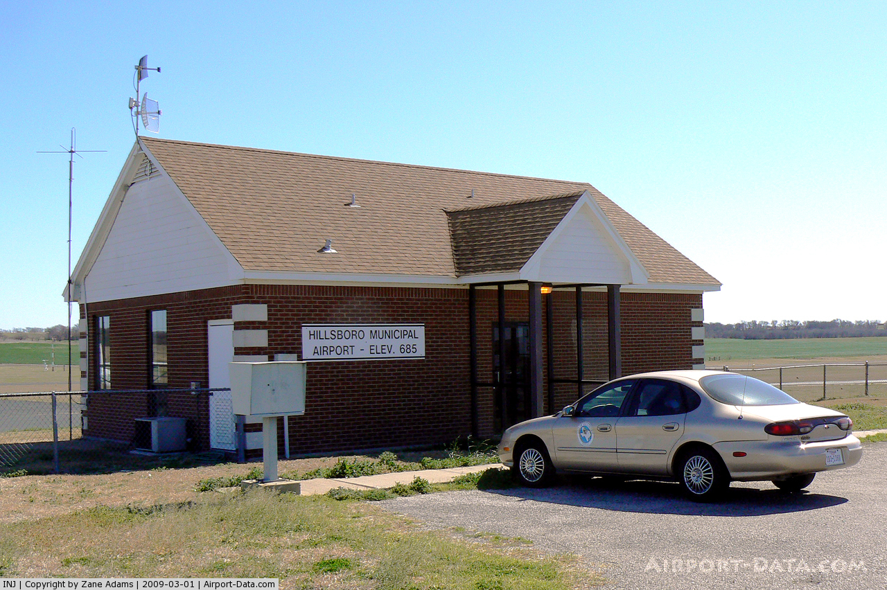
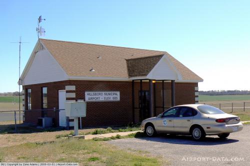
Images and information placed above are from
http://www.airport-data.com/airport/INJ/
We thank them for the data!
| General Info
|
| Country |
United States
|
| State |
TEXAS
|
| FAA ID |
INJ
|
| Latitude |
32.083486
32° 05' 00.55" N
|
| Longitude |
-97.097228
097° 05' 50.02" W
|
| Elevation |
685 feet
209 meters
|
| Magnetic Variation |
005° E (01/06)
|
| Beacon |
Yes
|
| Operating Agency |
MUNICIPAL
|
| Daylight Saving Time |
Second Sunday in March at 0200 to first Sunday in November at 0200 local time (Exception Arizona and that portion of Indiana in the Eastern Time Zone)
|
We don't guarantee the information is fresh and accurate. The data may
be wrong or outdated.
For more up-to-date information please refer to other sources.
|
|