|
|
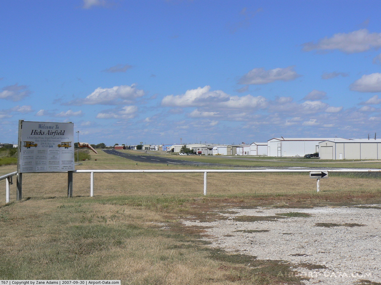
Hicks Airfield
Taliaferro Field |
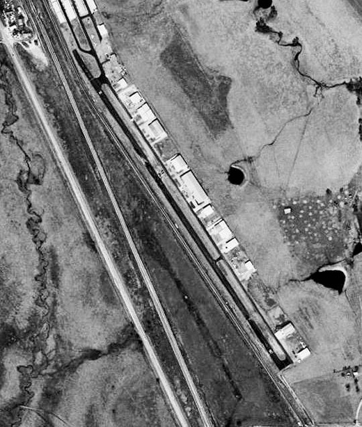 |
| USGS aerial image, 31 January 1995 |
| IATA: none – ICAO: none – FAA LID: T67 |
| Summary |
| Airport type |
Public |
| Owner |
Hicks Airfield Pilots Assn. |
| Serves |
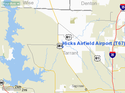
Fort Worth, Texas |
| Location |
Tarrant County |
| Elevation AMSL |
855 ft / 261 m |
| Coordinates |
32°55′52″N 097°24′42″W / 32.93111°N 97.41167°W / 32.93111; -97.41167 |
| Runways |
| Direction |
Length |
Surface |
| ft |
m |
| 14/32 |
3,740 |
1,140 |
Asphalt |
| Statistics (2009) |
| Aircraft operations |
31,000 |
| Based aircraft |
327 |
| Source: Federal Aviation Administration |
Hicks Airfield (FAA LID: T67) is a public use airport located 14 nautical miles (26 km) northwest of the central business district of Fort Worth, in Tarrant County, Texas, United States. The airport is used solely for general aviation purposes. History
Established by the Canadian Flying Corps in 1916 as one of three airfields (also Benbrook Field and Baron Field) to train American pilots who entered the Canadian military before the United States entry into World War I. Canadians named the facility as Taliaferro Field after Walter Taliaferro, a US aviator who had been killed in an accident.
First trainees arrived in November 1916 to very crude facility. Most structures were unfinished and personnel lived and worked in canvas tents. Flu Epidemic killed many assigned personnel. After US Entry into World War I in April 1917, taken over by United States Army and renamed Hicks Field. Curtiss JN-4 "Jenny" became primary aircraft used for flight training after Army takeover. Known US units trained at airfield were 22d; 27th; 28th; 139th; 147th and 148th Aero Squadrons. Military use of facility ended in early 1919 after end of World War I.
In 1923, became location of world's first helium plant, operated by United States Navy. Became a Navy blimp facility until 1929 when shortages closed facility.
Taken over by United States Army Air Corps in 1940, facilities improved and used as a contract primary flight training facility by USAAF Gulf Coast Training Center (later Central Flying Command). Texas Aviation School & W. F. Long Flying School provided flying training to aviation cadets. Initially under supervision of 307th Army Air Forces Flying Training Detachment, later redesignated as 2555th Army Air Forces Base Unit (Contract Pilot School, Primary) on 1 May 1944. A ten-week course of primary training continued at Hicks, and a total of 2,403 cadets were processed, and about 70% made it to the next level of training at Randolph Field.
Flying training was performed with Fairchild PT-19s as the primary trainer. Also had several PT-17 Stearmans and a few P-40 Warhawks assigned. Inactivated 20 July 1944 with the drawdown of AAFTC's pilot training program and was declared surplus and turned over to the Army Corps of Engineers. Eventually discharged to the War Assets Administration (WAA) returned to civil control.
Postwar use included storage and sale of surplus military aircraft, also used by Bell Helicopter as flight test airfield during 1950s. Bell activities ended in late 1950s and the facility became a general aviation airfield, eventually falling into disuse and was closed.
Airport reopened in 1985 with a new facility being built about a mile north-northwest of original airfield. By 1990s entire facility being redeveloped into an industrial area, although most of original facility still in a state of disuse with deteriorating buildings.
Facilities and aircraft
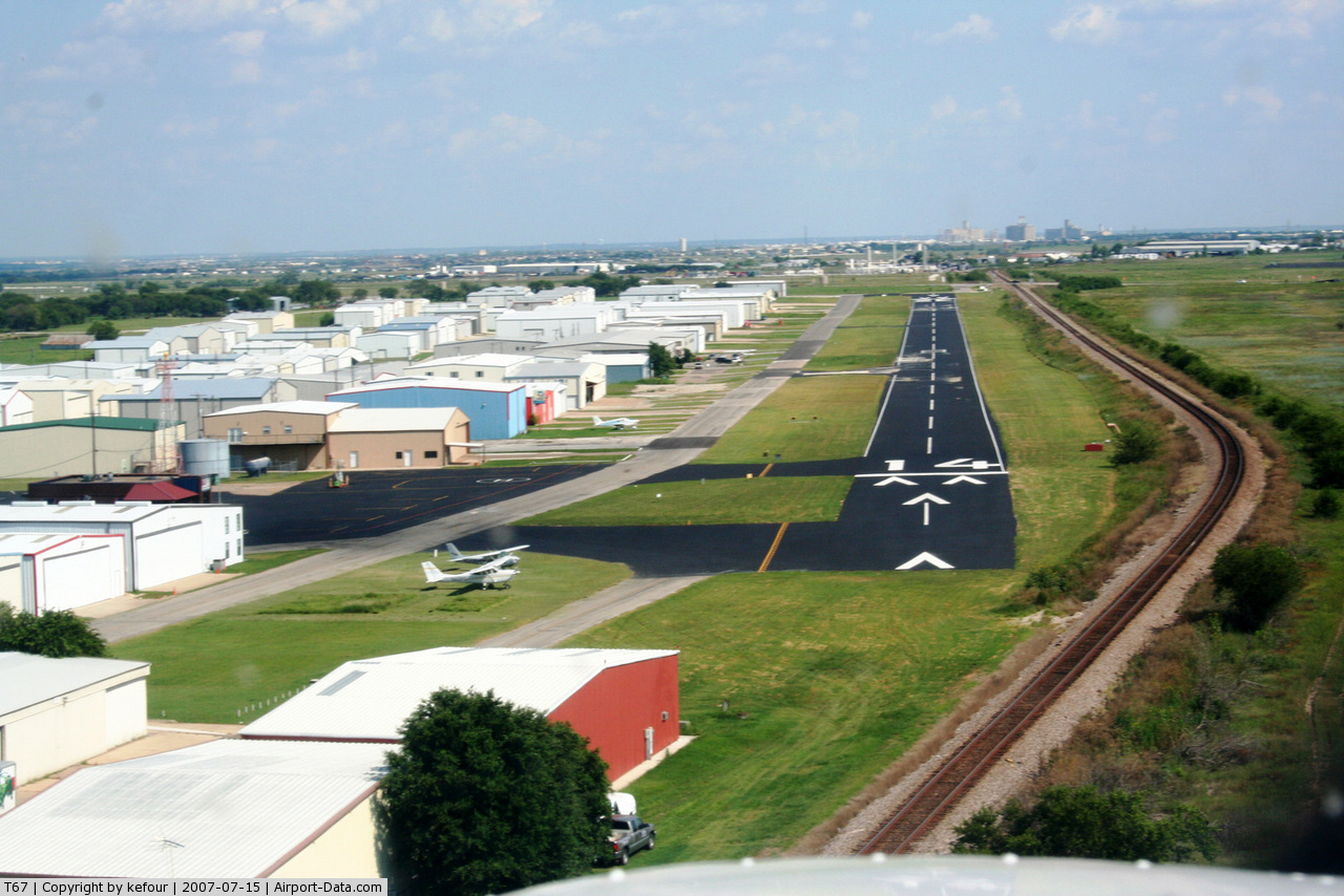
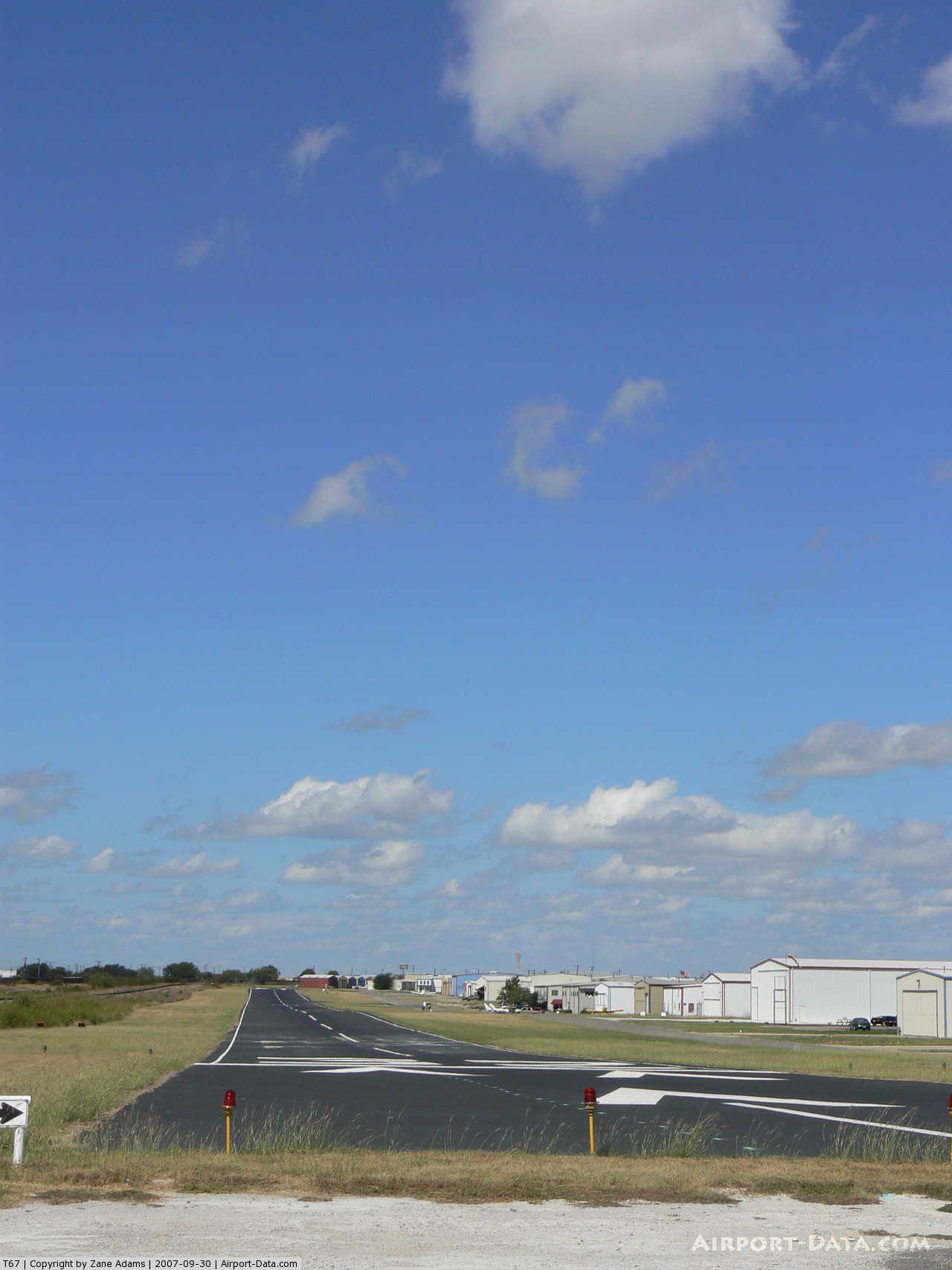
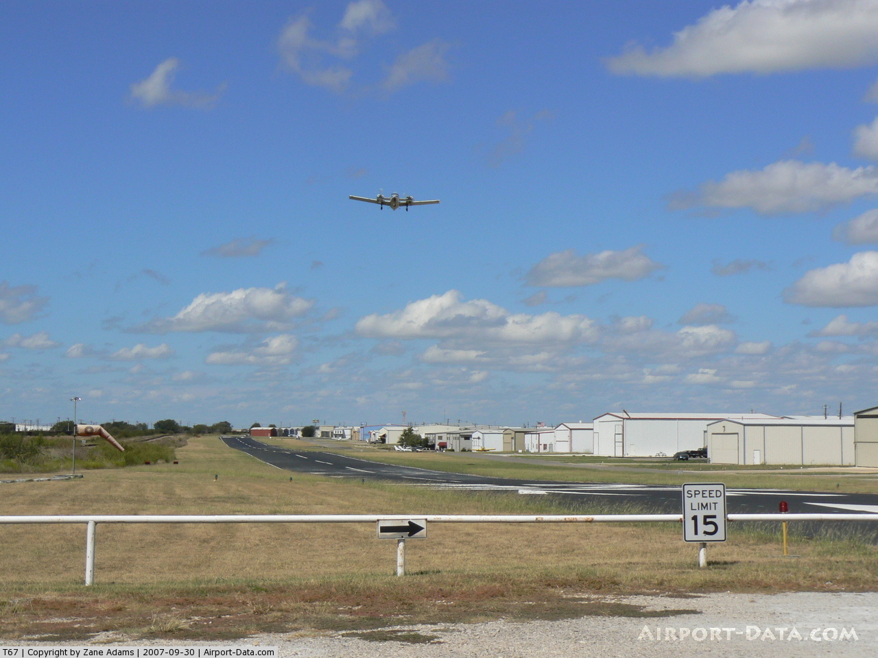
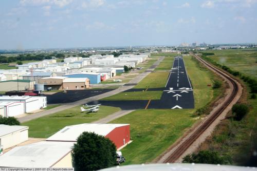
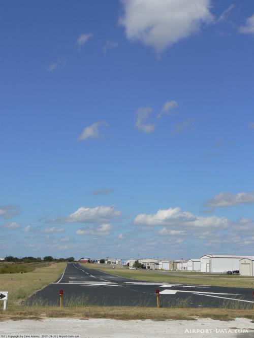
Hicks Airfield covers an area of 77 acres (31 ha) at an elevation of 855 feet (261 m) above mean sea level. It has one runway designated 14/32 with an asphalt surface measuring 3,740 by 60 feet (1,140 x 18 m).
For the 12-month period ending March 7, 2009, the airport had 31,000 general aviation aircraft operations, an average of 84 per day. At that time there were 327 aircraft based at this airport: 92% single-engine, 6% multi-engine, 1% helicopter and 1% ultralight.
The above content comes from Wikipedia and is published under free licenses – click here to read more.
 |
(Click on the photo to enlarge) |
 |
(Click on the photo to enlarge) |
 |
(Click on the photo to enlarge) |
 |
(Click on the photo to enlarge) |
 |
(Click on the photo to enlarge) |
 |
(Click on the photo to enlarge) |
Location & QuickFacts
| FAA Information Effective: | 2008-09-25 |
| Airport Identifier: | T67 |
| Airport Status: | Operational |
| Longitude/Latitude: | 097-24-42.0690W/32-55-52.4520N
-97.411686/32.931237 (Estimated) |
| Elevation: | 855 ft / 260.60 m (Estimated) |
| Land: | 77 acres |
| From nearest city: | 14 nautical miles NW of Fort Worth, TX |
| Location: | Tarrant County, TX |
| Magnetic Variation: | 07E (1986) |
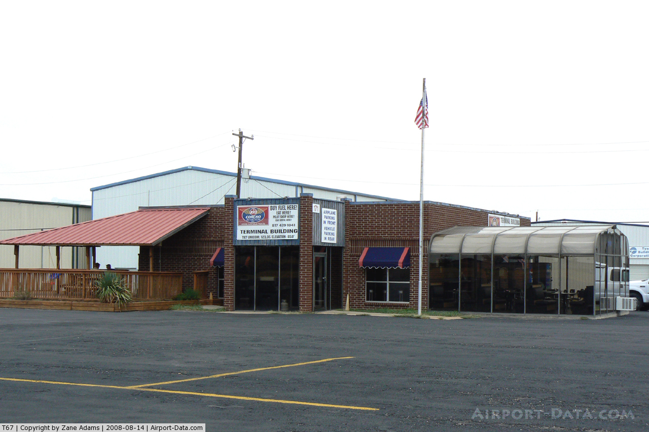
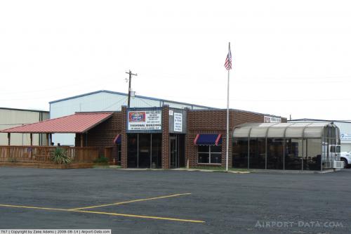
Owner & Manager
| Ownership: | Privately owned |
| Owner: | Hicks Airfield Pilots Assn |
| Address: | 100 Aviator Dr.
Fort Worth, TX 76179 |
| Phone number: | 817-296-0189 |
| Manager: | Coy Surles
COY SURLES, ASSOCIATION PRESIDENT. DON BROWNING, BOARD MEMBER 817-296-0189. |
| Address: | 639 Aviator Dr.
Fort Worth, TX 76179 |
| Phone number: | 817-439-2007
EMERGENCY PHONE: 927-523-7921. |
Airport Operations and Facilities
| Airport Use: | Open to public |
| Wind indicator: | Yes |
| Segmented Circle: | No |
| Control Tower: | No |
| Lighting Schedule: | DUSK-DAWN |
| Beacon Color: | Clear-Green (lighted land airport) |
| Sectional chart: | Dallas-ft Worth |
| Region: | ASW - Southwest |
| Traffic Pattern Alt: | 645 ft |
| Boundary ARTCC: | ZFW - Fort Worth |
| Tie-in FSS: | FTW - Fort Worth |
| FSS on Airport: | No |
| FSS Phone: | 817-541-3474 |
| FSS Toll Free: | 1-800-WX-BRIEF |
| NOTAMs Facility: | FTW (NOTAM-d service avaliable) |
Airport Communications
| CTAF: | 123.050 |
| Unicom: | 123.050 |
Airport Services
| Fuel available: | 100LL
FUEL AVBL 24 HRS WITH CREDIT CARD. |
| Airframe Repair: | MAJOR |
| Power Plant Repair: | MAJOR |
Runway Information
Runway 14/32
| Dimension: | 3740 x 60 ft / 1140.0 x 18.3 m |
| Surface: | ASPH, Fair Condition |
| Edge Lights: | Medium |
| |
Runway 14 |
Runway 32 |
| Traffic Pattern: | Left | Left |
| Markings: | Basic, Good Condition | Basic, Good Condition |
| Crossing Height: | 20.00 ft | 20.00 ft |
| Displaced threshold: | 340.00 ft | 191.00 ft |
| VASI: | 2-light PAPI on left side | 2-light PAPI on left side |
| Visual Glide Angle: | 3.00° | 3.00° |
| Obstruction: | 27 ft rr, 201.0 ft from runway, 30 ft right of centerline
APCH RATIO 0:1 FM DSPLCD THLD TO RR 111 FT R AT THLD.
+20' RR 60' R AT THR. | 5 ft fence, 201.0 ft from runway, 25 ft left of centerline
APCH RATIO 0:1 FM DSPLCD THLD TO RR 123 FT L AT THLD.
+15' ENTRANCE ROAD 5' FM THR BOTH SIDES OF CNTRLN; +20' RR 122' L AT THR. |
|
Radio Navigation Aids
| ID |
Type |
Name |
Ch |
Freq |
Var |
Dist |
| XQH | NDB | Cedar Hill | | 353.00 | 08E | 30.0 nm |
| RBD | NDB | Redbird | | 287.00 | 06E | 31.3 nm |
| MWL | NDB | Mineral Wells | | 266.00 | 06E | 33.8 nm |
| LNC | NDB | Lancaster | | 239.00 | 06E | 40.8 nm |
| GMZ | NDB | Grindstone Mountain | | 356.00 | 07E | 44.4 nm |
| PQF | NDB | Mesquite | | 248.00 | 06E | 45.2 nm |
| JUG | NDB | Jecca | | 388.00 | 06E | 47.2 nm |
| GLE | NDB | Gainesville | | 330.00 | 06E | 48.5 nm |
| NFW | TACAN | Nas Jrb Fort Worth | 024X | | 07E | 9.7 nm |
| TTT | VOR/DME | Maverick | 078X | 113.10 | 06E | 19.1 nm |
| CVE | VOR/DME | Cowboy | 109X | 116.20 | 06E | 25.7 nm |
| FUZ | VORTAC | Ranger | 104X | 115.70 | 06E | 12.0 nm |
| MQP | VORTAC | Millsap | 124X | 117.70 | 09E | 32.1 nm |
| UKW | VORTAC | Bowie | 071X | 112.40 | 06E | 41.8 nm |
| FTW | VOT | Fort Worth Meacham | | 108.20 | | 7.3 nm |
| DAL | VOT | Dallas Love Field | | 113.30 | | 28.7 nm |
Remarks
- RY 14/32 RR PARALLEL & ADJ TO RY ON SW SIDE WITHIN PRIMARY SFC.
- ULTRALIGHT OPNS INVOF ARPT.
- CALM WIND RY 14.
- UNCONTROLLED VEHICLE TRAFFIC INVOF HANGARS & ON TWYS.
- PRVDD VFR; AN OPNL LTR OF AGREEMENT BTWN HICKS AIRFIELD & MEACHAM FIELD ATCT IS ESTABLISHED; AND A METHOD OF PROVIDING COMPATIBLE TFC PATTERN OPNS TO BOTH RYS IS ESTABLISHED PRIOR TO THE OPENING OF THE NEW RY.
Images and information placed above are from
http://www.airport-data.com/airport/T67/
We thank them for the data!
| General Info
|
| Country |
United States
|
| State |
TEXAS
|
| FAA ID |
T67
|
| Latitude |
32-55-52.452N
|
| Longitude |
097-24-42.069W
|
| Elevation |
855 feet
|
| Near City |
FORT WORTH
|
We don't guarantee the information is fresh and accurate. The data may
be wrong or outdated.
For more up-to-date information please refer to other sources.
|
|