 |
|
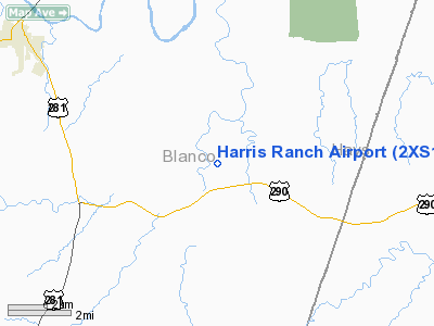
Location & QuickFacts
| FAA Information Effective: | 2008-09-25 |
| Airport Identifier: | 2XS1 |
| Airport Status: | Operational |
| Longitude/Latitude: | 098-18-09.4000W/30-13-11.1000N
-98.302611/30.219750 (Estimated) |
| Elevation: | 1188 ft / 362.10 m (Estimated) |
| Land: | 100 acres |
| From nearest city: | 6 nautical miles SE of Johnson City, TX |
| Location: | Blanco County, TX |
| Magnetic Variation: | 06E (2000) |
Owner & Manager
| Ownership: | Privately owned |
| Owner: | James M Harris |
| Address: | 12777 Jones Rd Suite 275
Houston, TX 77070 |
| Phone number: | 281-469-2121 |
| Manager: | Don Becker |
| Address: | 13203 Sea Island Dr
Houston, TX 77069-2326 |
| Phone number: | 281-586-8414 |
Airport Operations and Facilities
| Airport Use: | Private |
| Segmented Circle: | No |
| Control Tower: | No |
| Lighting Schedule: | RDO-CTL
ACTVT MIRL RY 18/36 - CTAF. |
| Sectional chart: | San Antonio |
| Region: | ASW - Southwest |
| Boundary ARTCC: | ZHU - Houston |
| Tie-in FSS: | SJT - San Angelo |
| FSS on Airport: | No |
| FSS Toll Free: | 1-800-WX-BRIEF |
Runway Information
Runway 18/36
| Dimension: | 4600 x 75 ft / 1402.1 x 22.9 m |
| Surface: | ASPH, |
| Edge Lights: | Medium |
| |
Runway 18 |
Runway 36 |
| Traffic Pattern: | Right | Left |
| Markings: | Non-precision instrument, Good Condition | Non-precision instrument, Good Condition |
| Displaced threshold: | 600.00 ft | 200.00 ft |
| Obstruction: | 9 ft gnd, 200.0 ft from runway | 14 ft gnd, 200.0 ft from runway |
|
Radio Navigation Aids
| ID |
Type |
Name |
Ch |
Freq |
Var |
Dist |
| MFS | NDB | Horseshoe Bay Resort | | 403.00 | 07E | 18.5 nm |
| BMQ | NDB | Burnet | | 341.00 | 07E | 31.5 nm |
| ER | NDB | Shein | | 263.00 | 08E | 41.1 nm |
| GUO | NDB | Georgetown | | 332.00 | 06E | 42.7 nm |
| DHK | TACAN | Randolph | 036X | | 09E | 41.1 nm |
| STV | VORTAC | Stonewall | 085X | 113.80 | 08E | 21.0 nm |
| SAT | VORTAC | San Antonio | 115X | 116.80 | 08E | 35.6 nm |
| CWK | VORTAC | Centex | 075X | 112.80 | 06E | 41.2 nm |
| RND | VORTAC | Randolph | 70X | 112.30 | 09E | 42.1 nm |
| LLO | VORTAC | Llano | 019X | 108.20 | 08E | 42.8 nm |
| SAT | VOT | San Antonio Intl | | 110.40 | | 42.2 nm |
Remarks
- RY 18 PLASI TCH 28 FT GLIDE ANGLE 4 DEGS. RY 36 PLASI TCH 29 FT GLIDE ANGLE 4 DEGS.
Images and information placed above are from
http://www.airport-data.com/airport/2XS1/
We thank them for the data!
| General Info
|
| Country |
United States
|
| State |
TEXAS
|
| FAA ID |
2XS1
|
| Latitude |
30-13-11.100N
|
| Longitude |
098-18-09.400W
|
| Elevation |
1188 feet
|
| Near City |
JOHNSON CITY
|
We don't guarantee the information is fresh and accurate. The data may
be wrong or outdated.
For more up-to-date information please refer to other sources.
|
|


