|
|
Grand Prairie Muni Airport |
Coordinates: 32°41′56″N 097°02′49″W / 32.69889°N 97.04694°W / 32.69889; -97.04694
| Grand Prairie Municipal Airport |
| IATA: none – ICAO: KGPM – FAA LID: GPM |
| Summary |
| Airport type |
Public |
| Owner |
City of Grand Prairie |
| Serves |
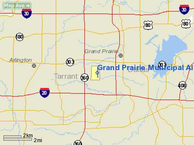
Grand Prairie, Texas |
| Elevation AMSL |
588 ft / 179 m |
| Website |
www.GrandPrairieAirport.org |
| Runways |
| Direction |
Length |
Surface |
| ft |
m |
| 17/35 |
4,001 |
1,220 |
Concrete |
| Statistics (2007) |
| Aircraft operations |
98,001 |
| Based aircraft |
287 |
| Sources: airport web site and FAA |
Grand Prairie Municipal Airport (ICAO: KGPM, FAA LID: GPM) is a city-owned public-use airport located four miles (6 km) southwest of the central business district of Grand Prairie, a city in Tarrant County, Texas, United States.
Although most U.S. airports use the same three-letter location identifier for the FAA and IATA, Grand Prairie Municipal Airport is assigned GPM by the FAA but has no designation from the IATA.
Facilities and aircraft
Grand Prairie Municipal Airport covers an area of 162 acres (66 ha) which contains one runway designated 17/35 with a 4,001 x 75 ft (1,220 x 23 m) concrete surface. For the 12-month period ending May 31, 2007, the airport had 98,001 aircraft operations, an average of 268 per day: 99.8% general aviation and 0.2% military. There are 287 aircraft based at this airport: 82% single-engine, 6% multi-engine and 12% helicopter.
The above content comes from Wikipedia and is published under free licenses – click here to read more.
 |
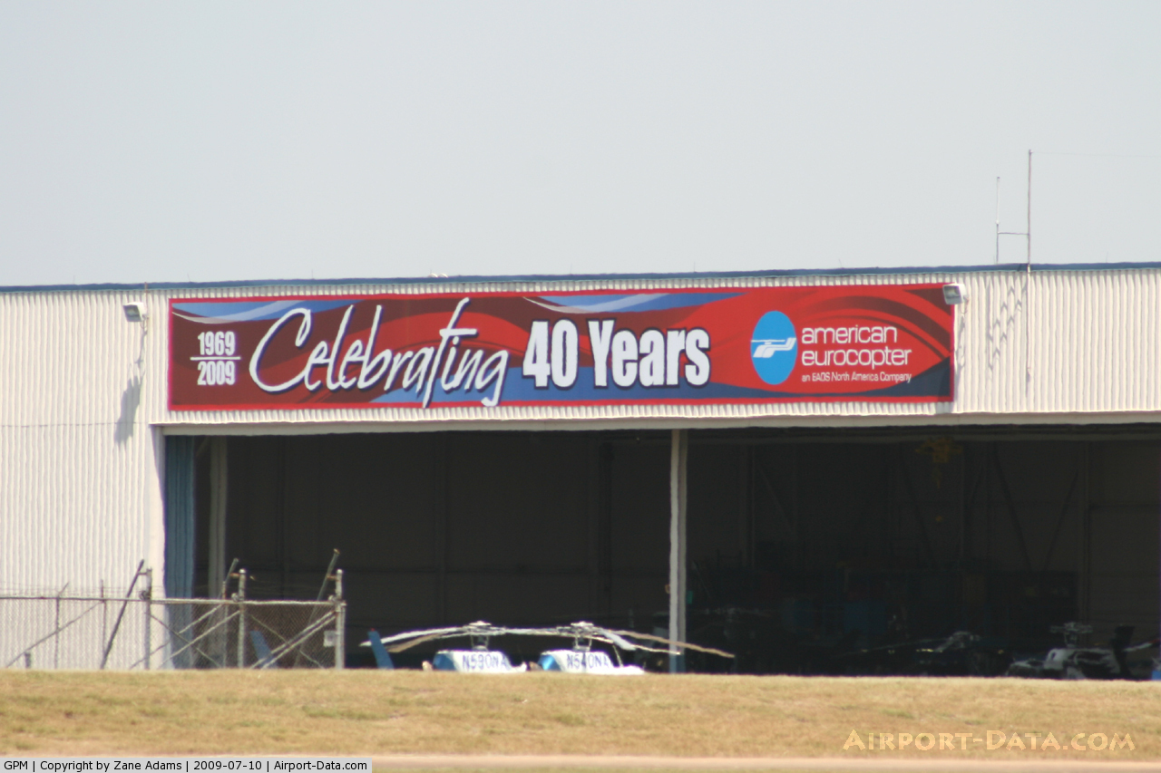
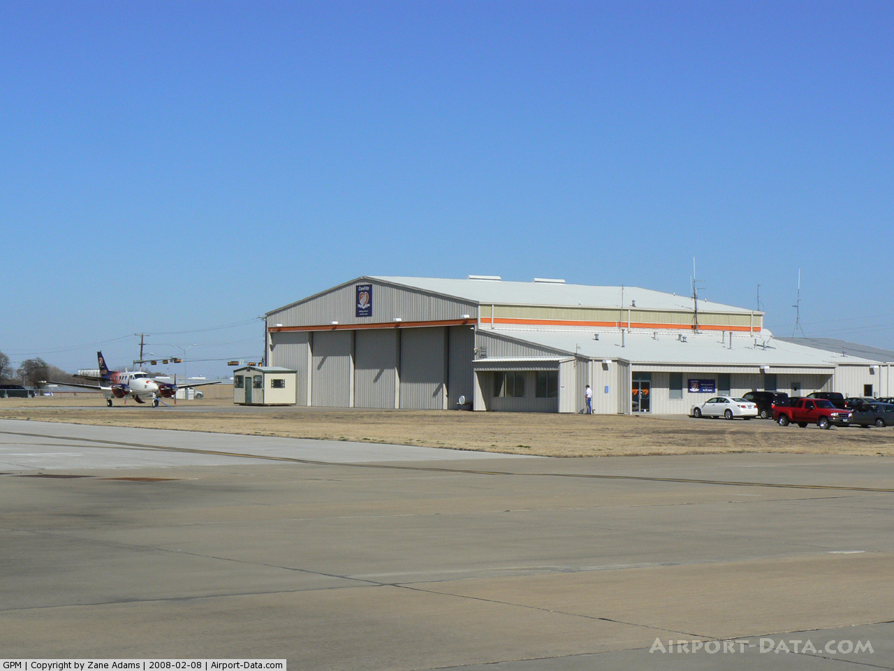
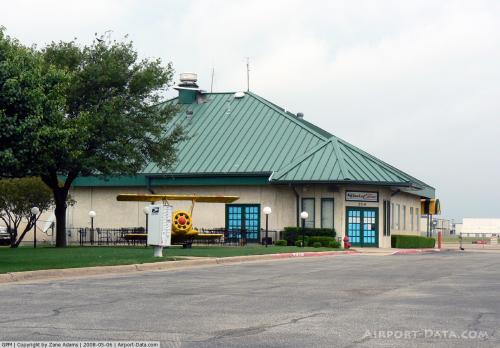
(Click on the photo to enlarge) |
 |
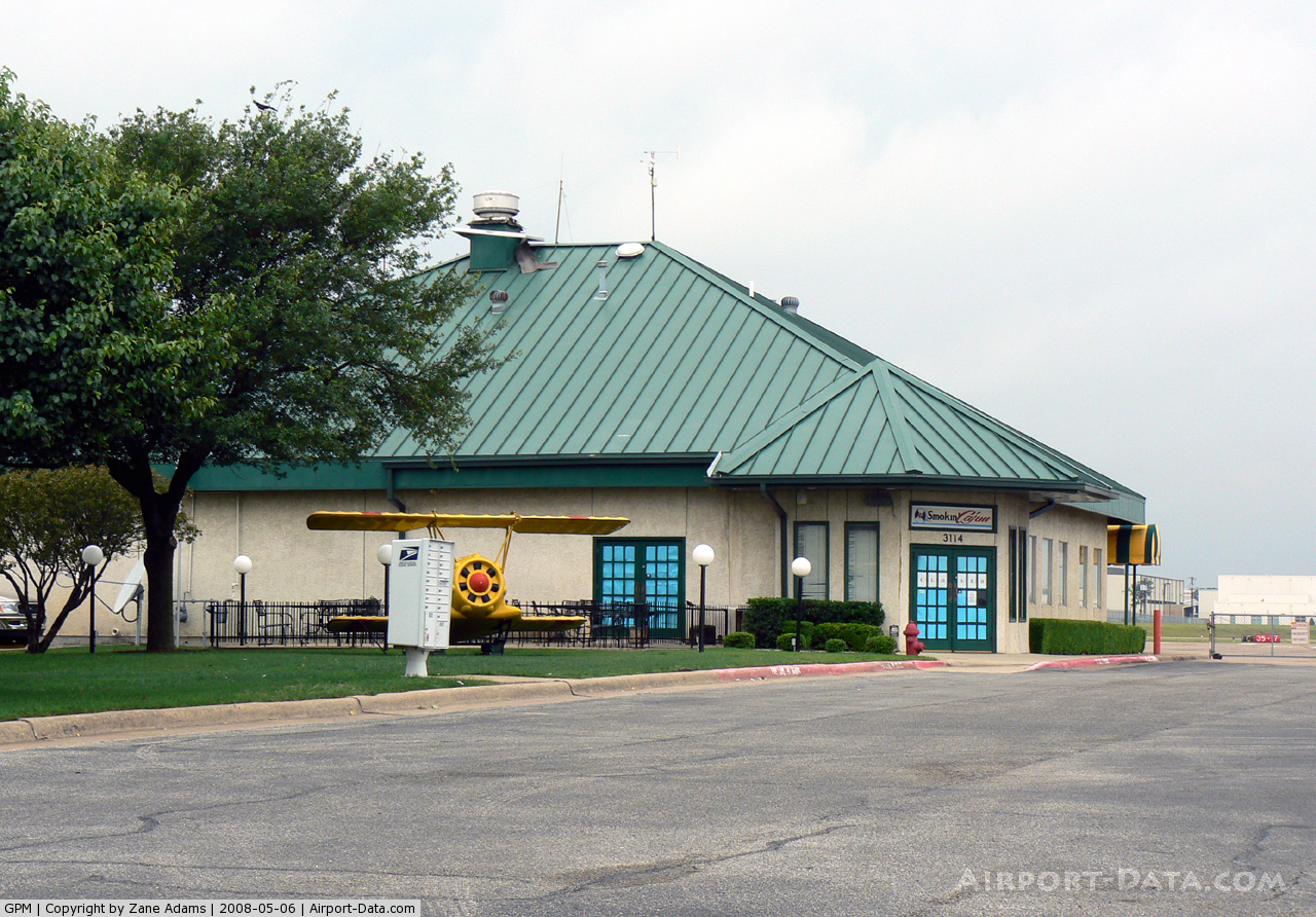
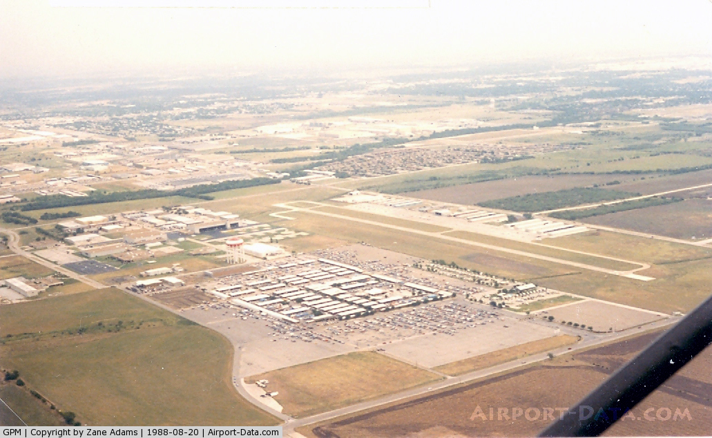
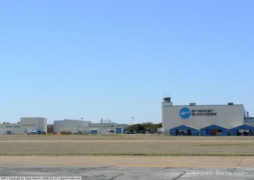
(Click on the photo to enlarge) |
 |
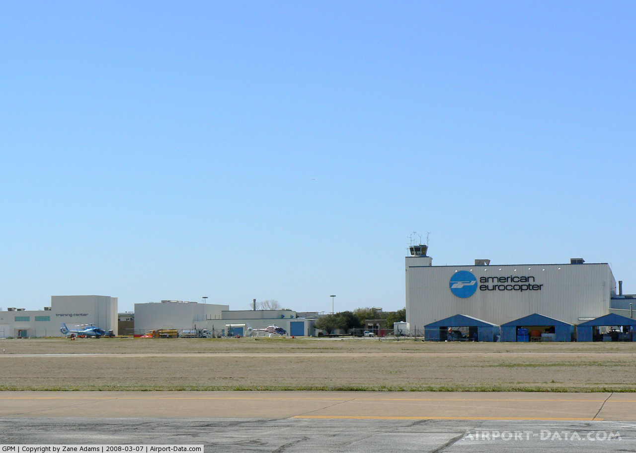
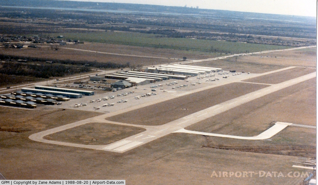
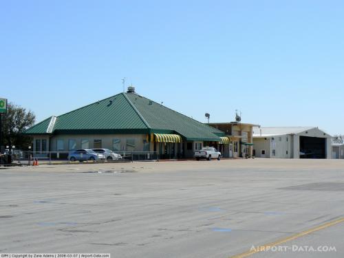
(Click on the photo to enlarge) |
 |
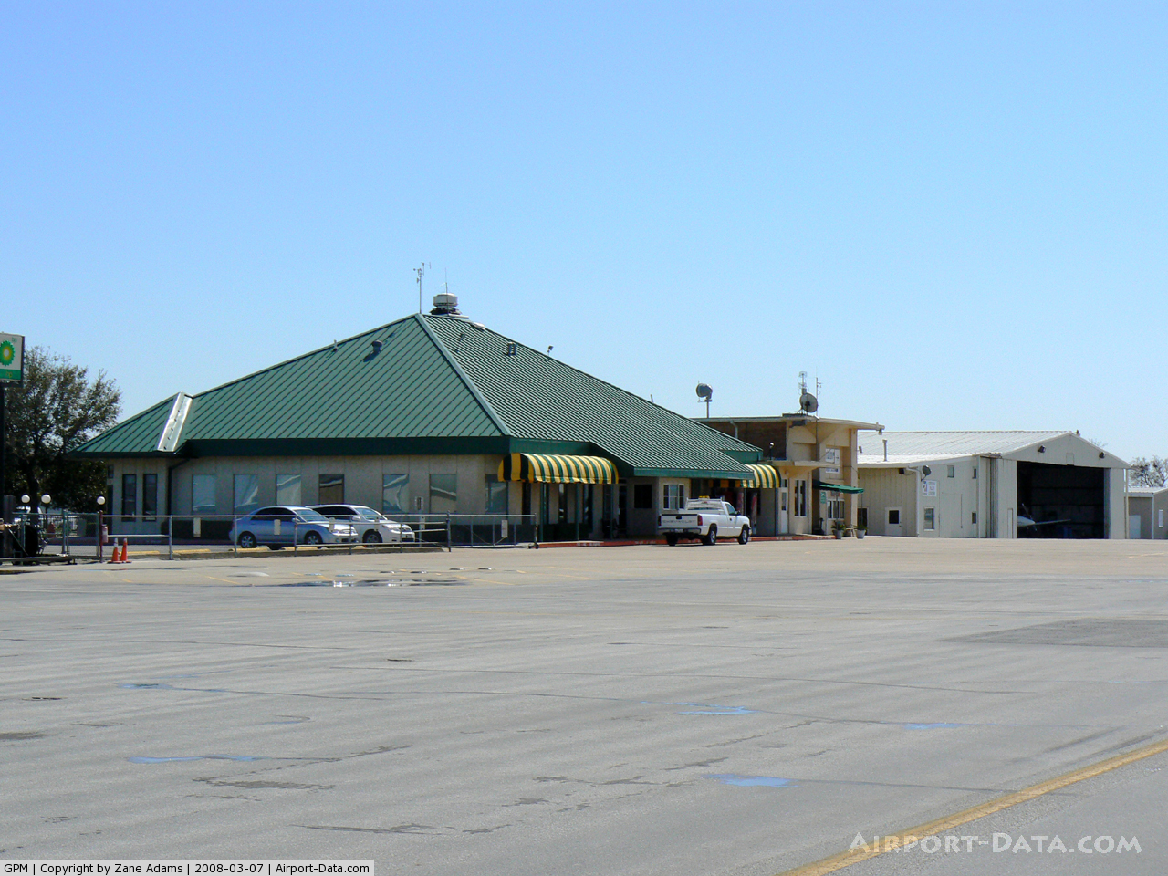
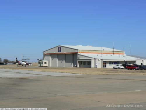
(Click on the photo to enlarge) |
 |
(Click on the photo to enlarge) |
 |
(Click on the photo to enlarge) |
 |
(Click on the photo to enlarge) |
 |
(Click on the photo to enlarge) |
 |
(Click on the photo to enlarge) |
 |
(Click on the photo to enlarge) |
 |
(Click on the photo to enlarge) |
Location & QuickFacts
| FAA Information Effective: | 2008-09-25 |
| Airport Identifier: | GPM |
| Airport Status: | Operational |
| Longitude/Latitude: | 097-02-48.9000W/32-41-55.6000N
-97.046917/32.698778 (Estimated) |
| Elevation: | 588 ft / 179.22 m (Surveyed) |
| Land: | 162 acres |
| From nearest city: | 4 nautical miles SW of Grand Prairie, TX |
| Location: | Tarrant County, TX |
| Magnetic Variation: | 06E (2000) |
Owner & Manager
| Ownership: | Publicly owned |
| Owner: | City Of Grand Prairie |
| Address: | Po Box 534045
Grand Prairie, TX 75053-4045 |
| Phone number: | 972-237-8015 |
| Manager: | Randy Byers
AIRPORT DIRECTOR. |
| Address: | 3116 S Gt Southwest Pkwy
Grand Prairie, TX 75052-7238 |
| Phone number: | 972-237-7591
EMERGENCY PAGER: 972-859-2580. |
Airport Operations and Facilities
| Airport Use: | Open to public |
| Wind indicator: | Yes |
| Segmented Circle: | Yes |
| Control Tower: | Yes |
| Lighting Schedule: | DUSK-DAWN
ACTVT MIRL RY 17/35; VASI RYS 17 & 35 AND REIL RY 35 - 128.55. |
| Beacon Color: | Clear-Green (lighted land airport) |
| Landing fee charge: | No |
| Sectional chart: | Dallas-ft Worth |
| Region: | ASW - Southwest |
| Boundary ARTCC: | ZFW - Fort Worth |
| Tie-in FSS: | FTW - Fort Worth |
| FSS on Airport: | No |
| FSS Phone: | 817-541-3474 |
| FSS Toll Free: | 1-800-WX-BRIEF
FOR LOCAL CALL TO FSS DIAL 1-800-922-7433. |
| NOTAMs Facility: | GPM (NOTAM-d service avaliable) |
| Federal Agreements: | NGYS |
Airport Communications
| CTAF: | 128.550 |
| Unicom: | 122.800 |
Airport Services
| Fuel available: | 100LLA |
| Airframe Repair: | MAJOR |
| Power Plant Repair: | MINOR |
| Bottled Oxygen: | NONE |
| Bulk Oxygen: | NONE |
Runway Information
Runway 17/35
| Dimension: | 4001 x 75 ft / 1219.5 x 22.9 m |
| Surface: | CONC, Good Condition |
| Weight Limit: | Single wheel: 30000 lbs. |
| Edge Lights: | Medium |
| |
Runway 17 |
Runway 35 |
| Longitude: | 097-02-48.7604W | 097-02-49.0394W |
| Latitude: | 32-42-15.4122N | 32-41-35.8230N |
| Elevation: | 582.00 ft | 573.00 ft |
| Alignment: | 127 | 0 |
| Traffic Pattern: | Left | Right |
| Markings: | Non-precision instrument, Good Condition | Non-precision instrument, Good Condition |
| Crossing Height: | 26.00 ft | 37.00 ft |
| VASI: | 4-box on left side | 4-box on left side |
| Visual Glide Angle: | 3.00° | 4.00° |
| Runway End Identifier: | | Yes |
| Obstruction: | 56 ft trees, 810.0 ft from runway, 130 ft right of centerline, 10:1 slope to clear | 21 ft road, 630.0 ft from runway, 20:1 slope to clear |
|
Radio Navigation Aids
| ID |
Type |
Name |
Ch |
Freq |
Var |
Dist |
| XQH | NDB | Cedar Hill | | 353.00 | 08E | 7.4 nm |
| RBD | NDB | Redbird | | 287.00 | 06E | 9.0 nm |
| LNC | NDB | Lancaster | | 239.00 | 06E | 18.0 nm |
| JUG | NDB | Jecca | | 388.00 | 06E | 26.1 nm |
| PQF | NDB | Mesquite | | 248.00 | 06E | 27.0 nm |
| AVZ | NDB | Travis | | 260.00 | 06E | 40.5 nm |
| MII | NDB | Caddo Mills | | 316.00 | 06E | 45.2 nm |
| CGQ | NDB | Powell | | 344.00 | 06E | 49.4 nm |
| NFW | TACAN | Nas Jrb Fort Worth | 024X | | 07E | 20.3 nm |
| TTT | VOR/DME | Maverick | 078X | 113.10 | 06E | 10.2 nm |
| CVE | VOR/DME | Cowboy | 109X | 116.20 | 06E | 13.6 nm |
| FUZ | VORTAC | Ranger | 104X | 115.70 | 06E | 13.3 nm |
| MQP | VORTAC | Millsap | 124X | 117.70 | 09E | 48.1 nm |
| DAL | VOT | Dallas Love Field | | 113.30 | | 13.3 nm |
| FTW | VOT | Fort Worth Meacham | | 108.20 | | 17.3 nm |
Remarks
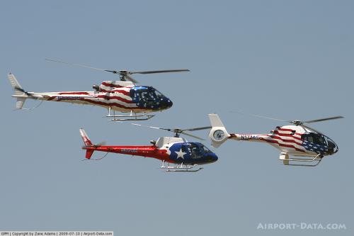
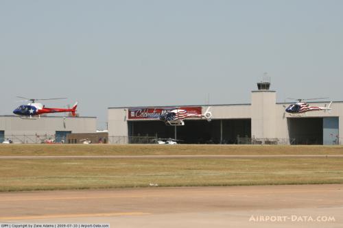
- EXTENSIVE HELICOPTER TRAFFIC WEST SIDE OF ARPT.
- PAEW ON & INVOF TWYS A & D.
Images and information placed above are from
http://www.airport-data.com/airport/GPM/
We thank them for the data!
| General Info
|
| Country |
United States
|
| State |
TEXAS
|
| FAA ID |
GPM
|
| Latitude |
32-41-54.900N
|
| Longitude |
097-02-47.500W
|
| Elevation |
589 feet
|
| Near City |
GRAND PRAIRIE
|
We don't guarantee the information is fresh and accurate. The data may
be wrong or outdated.
For more up-to-date information please refer to other sources.
|
|