|
|
 |
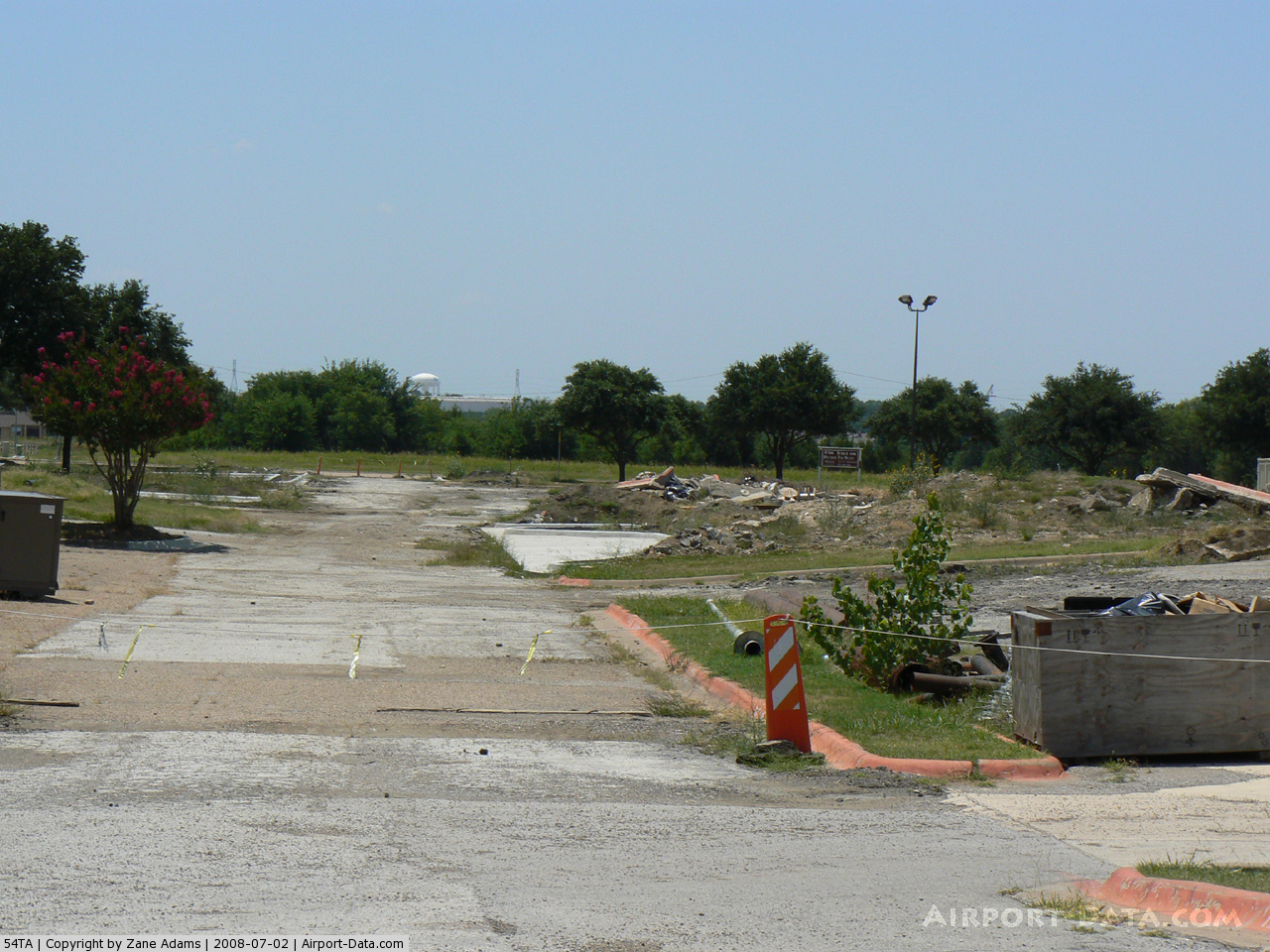
(Click on the photo to enlarge) |
Location & QuickFacts
| FAA Information Effective: | 2008-09-25 |
| Airport Identifier: | 54TA |
| Airport Status: | Operational |
| Longitude/Latitude: | 096-52-24.0000W/32-17-59.0000N
-96.873333/32.299722 (Estimated) |
| Elevation: | 610 ft / 185.93 m (Estimated) |
| Land: | 50 acres |
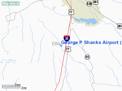
| From nearest city: | 6 nautical miles S of Waxahachie, TX |
| Location: | Ellis County, TX |
| Magnetic Variation: | 06E (1990) |
Owner & Manager
| Ownership: | Privately owned |
| Owner: | George P. Shanks |
| Address: | Route 4 Box 73d
Waxahachie, TX 75165 |
| Phone number: | 214-937-8310 |
| Manager: | George P. Shanks |
| Address: | Route 4 Box 73d
Waxahachie, TX 75165 |
| Phone number: | 214-937-8310 |
Airport Operations and Facilities
| Airport Use: | Private |
| Wind indicator: | Yes |
| Segmented Circle: | No |
| Control Tower: | No |
| Sectional chart: | Dallas-ft Worth |
| Region: | ASW - Southwest |
| Boundary ARTCC: | ZFW - Fort Worth |
| Tie-in FSS: | FTW - Fort Worth |
| FSS on Airport: | No |
| FSS Phone: | 817-541-3474 |
| FSS Toll Free: | 1-800-WX-BRIEF |
Runway Information
Runway 15/33
| Dimension: | 2900 x 30 ft / 883.9 x 9.1 m |
| Surface: | TURF, |
| |
Runway 15 |
Runway 33 |
| Traffic Pattern: | Left | Left |
| Obstruction: | | 30 ft plines, 0.0 ft from runway |
|
Radio Navigation Aids
| ID |
Type |
Name |
Ch |
Freq |
Var |
Dist |
| XQH | NDB | Cedar Hill | | 353.00 | 08E | 18.3 nm |
| LNC | NDB | Lancaster | | 239.00 | 06E | 18.4 nm |
| RBD | NDB | Redbird | | 287.00 | 06E | 22.7 nm |
| CGQ | NDB | Powell | | 344.00 | 06E | 26.7 nm |
| JUG | NDB | Jecca | | 388.00 | 06E | 28.1 nm |
| CRS | NDB | Corsicana | | 396.00 | 06E | 29.3 nm |
| PQF | NDB | Mesquite | | 248.00 | 06E | 35.2 nm |
| AVZ | NDB | Travis | | 260.00 | 06E | 42.0 nm |
| PYF | NDB | Pyramid | | 418.00 | 06E | 43.3 nm |
| LXY | NDB | Mexia | | 329.00 | 07E | 43.7 nm |
| CSZ | NDB | Crossroads | | 215.00 | 08E | 48.7 nm |
| ROB | NDB | Robinson | | 400.00 | 07E | 48.9 nm |
| LIQ | NDB | Lochridge Ranch | | 335.00 | 09E | 50.0 nm |
| NFW | TACAN | Nas Jrb Fort Worth | 024X | | 07E | 40.3 nm |
| TTT | VOR/DME | Maverick | 078X | 113.10 | 06E | 35.3 nm |
| CVE | VOR/DME | Cowboy | 109X | 116.20 | 06E | 35.5 nm |
| GNL | VOR/DME | Groesbeck | 025X | 108.80 | 05E | 46.2 nm |
| CQY | VORTAC | Cedar Creek | 095X | 114.80 | 06E | 34.0 nm |
| FUZ | VORTAC | Ranger | 104X | 115.70 | 06E | 38.7 nm |
| ACT | VORTAC | Waco | 100X | 115.30 | 09E | 43.3 nm |
| DAL | VOT | Dallas Love Field | | 113.30 | | 32.9 nm |
| FTW | VOT | Fort Worth Meacham | | 108.20 | | 39.7 nm |
Images and information placed above are from
http://www.airport-data.com/airport/54TA/
We thank them for the data!
| General Info
|
| Country |
United States
|
| State |
TEXAS
|
| FAA ID |
54TA
|
| Latitude |
32-17-59.000N
|
| Longitude |
096-52-24.000W
|
| Elevation |
610 feet
|
| Near City |
WAXAHACHIE
|
We don't guarantee the information is fresh and accurate. The data may
be wrong or outdated.
For more up-to-date information please refer to other sources.
|
|