|
|
 |
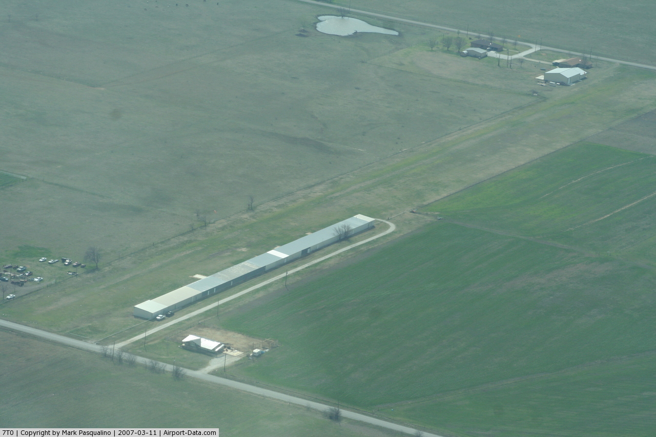
(Click on the photo to enlarge) |
Location & QuickFacts
| FAA Information Effective: | 2008-09-25 |
| Airport Identifier: | 7T0 |
| Airport Status: | Operational |
| Longitude/Latitude: | 097-13-09.3500W/33-35-36.3900N
-97.219264/33.593442 (Estimated) |
| Elevation: | 885 ft / 269.75 m (Estimated) |
| Land: | 15 acres |
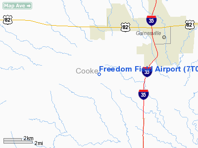
| From nearest city: | 3 nautical miles S of Lindsay, TX |
| Location: | Cooke County, TX |
| Magnetic Variation: | 07E (1985) |
Owner & Manager
| Ownership: | Privately owned |
| Owner: | Freedom Field Inc |
| Address: | Box 160
Lindsay, TX 76252 |
| Phone number: | 940-668-6464 |
| Manager: | Tom Schad |
| Address: | 2961 Fm 1630
Gainesville, TX 76240 |
| Phone number: | 940-668-6464 |
Airport Operations and Facilities
| Airport Use: | Open to public |
| Wind indicator: | Yes |
| Segmented Circle: | No |
| Control Tower: | No |
| Lighting Schedule: | RDO-CTL
ACTVT LIRL RY 17/35 - CTAF. |
| Landing fee charge: | No |
| Sectional chart: | Dallas-ft Worth |
| Region: | ASW - Southwest |
| Boundary ARTCC: | ZFW - Fort Worth |
| Tie-in FSS: | FTW - Fort Worth |
| FSS on Airport: | No |
| FSS Phone: | 817-541-3474 |
| FSS Toll Free: | 1-800-WX-BRIEF |
| NOTAMs Facility: | FTW (NOTAM-d service avaliable) |
Airport Communications
Runway Information
Runway 17/35
| Dimension: | 2400 x 60 ft / 731.5 x 18.3 m |
| Surface: | TURF, Good Condition |
| Edge Lights: | Non-standard lighting system
NSTD LIRL; ALL WHITE LGTS INCLUDING RY END LGTS. |
| |
Runway 17 |
Runway 35 |
| Traffic Pattern: | Right | Left |
| Obstruction: | 15 ft road, 25.0 ft from runway, 1:1 slope to clear | 15 ft road, 50.0 ft from runway, 3:1 slope to clear |
|
Radio Navigation Aids
| ID |
Type |
Name |
Ch |
Freq |
Var |
Dist |
| GLE | NDB | Gainesville | | 330.00 | 06E | 7.6 nm |
| GMZ | NDB | Grindstone Mountain | | 356.00 | 07E | 27.8 nm |
| DNI | NDB | Denison | | 341.00 | 06E | 30.8 nm |
| AUV | NDB | Arbuckle | | 284.00 | 07E | 33.8 nm |
| DUA | NDB | Durant | | 359.00 | 05E | 46.0 nm |
| TTT | VOR/DME | Maverick | 078X | 113.10 | 06E | 44.5 nm |
| CVE | VOR/DME | Cowboy | 109X | 116.20 | 06E | 45.1 nm |
| URH | VOR/DME | Texoma | 090X | 114.30 | 05E | 46.4 nm |
| UKW | VORTAC | Bowie | 071X | 112.40 | 06E | 30.4 nm |
| ADM | VORTAC | Ardmore | 114X | 116.70 | 06E | 37.2 nm |
| FUZ | VORTAC | Ranger | 104X | 115.70 | 06E | 42.4 nm |
| BYP | VORTAC | Bonham | 093X | 114.60 | 06E | 49.5 nm |
| FTW | VOT | Fort Worth Meacham | | 108.20 | | 47.2 nm |
| DAL | VOT | Dallas Love Field | | 113.30 | | 48.5 nm |
Remarks
- PRVDD ONLY VFR APCHS PERMITTED; A CLEAR 20:1 APCH SLOPE TO BOTH RY ENDS AT ALL TIMES; AND MONITOR GAINESVILLE CTAF OF 123.0.
Images and information placed above are from
http://www.airport-data.com/airport/7T0/
We thank them for the data!
| General Info
|
| Country |
United States
|
| State |
TEXAS
|
| FAA ID |
7T0
|
| Latitude |
33-35-36.390N
|
| Longitude |
097-13-09.350W
|
| Elevation |
885 feet
|
| Near City |
LINDSAY
|
We don't guarantee the information is fresh and accurate. The data may
be wrong or outdated.
For more up-to-date information please refer to other sources.
|
|