|
|
Fort Worth Meacham Intl Airport |
| Fort Worth Meacham Int'l Airport |
 |
| IATA: FTW – ICAO: KFTW – FAA LID: FTW |
| Summary |
| Airport type |
Public |
| Operator |
City of Fort Worth |
| Location |
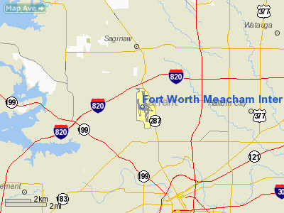
Fort Worth, Texas |
| Elevation AMSL |
710 ft / 216 m |
| Coordinates |
32°49′11.2″N 97°21′44.8″W / 32.819778°N 97.362444°W / 32.819778; -97.362444Coordinates: 32°49′11.2″N 97°21′44.8″W / 32.819778°N 97.362444°W / 32.819778; -97.362444 |
| Runways |
| Direction |
Length |
Surface |
| ft |
m |
| 9/27 |
3,677 |
1,121 |
Asphalt |
| 16/34 |
7,501 |
2,286 |
Concrete |
| 17/35 |
4,006 |
1,221 |
Asphalt |
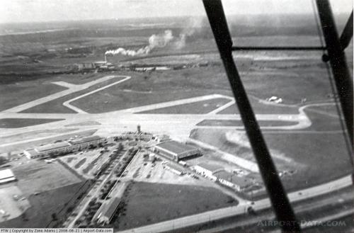
Fort Worth Meacham International Airport (commonly referred to as Meacham Field) (IATA: FTW, ICAO: KFTW, FAA LID: FTW) is an airport in Fort Worth, Texas. The airport is located at the intersection of Interstate 820 and U.S. Business Highway 287 in northwest Fort Worth, near the downtown business district. Meacham International Airport has two parallel runways and a crosswind runway. History
Meacham Field was purchased by the city of Fort Worth on July 3, 1925, named Fort Worth Municipal Airport. In 1927, the airport was renamed Meacham Field. American Airways moved its headquarters to Meacham Field in the early 1930s. The airport served the scheduled commercial airline service needs of the Fort Worth area until 1953, when Fort Worth transferred all commercial flights to Amon Carter Field, later known as the Greater Southwest International Airport. From 1953 to present, Meacham Field has primarily been used for corporate aircraft, commuter flights, and student pilot training. Meacham Field was renamed in 1985 to become Fort Worth Meacham Airport, and in 1995 the name changed again to Fort Worth Meacham International Airport.
Since the 1953 exodus of scheduled carriers to Carter Field, seven airlines have tried to operate scheduled commercial passenger flights from Meacham. None lasted more than a couple of years. In chronological order, these airlines were:
- Air Texas (1968–1970) flew Beechcraft Model 99 and Beechcraft Queen Air turboprops from Meacham to Austin and Houston
- Tejas Airlines (1979–80) flew Fairchild Swearingen Metroliner turboprops to Austin, Houston, Corpus Christi, San Antonio, and Laredo
- Metro Airlines (1979–81) flew DHC-6 Twin Otters
- Texas Star Airlines (1981–83) connected Meacham to both Austin and Wichita Falls
- Fort Worth Airlines (1984–85) flew NAMC YS-11 turboprops
- Exec Express Airlines (1987–88), later known as Lone Star Airlines, flew Dornier Do 228 turboprops
- Mesa Airlines (1997–98) flew Bombardier CRJ jets
In 2001, Continental Airlines announced plans for Continental Express regional flights between Meacham and Houston Intercontinental Airport but this project was abandoned in the wake of the downturn in the aviation industry following the September 11, 2001, attacks. In April 2006, low-cost carrier Skybus Airlines expressed interest in operating out of the airfield as it started operations in 2007. Due to Skybus folding and the Wright Amendment not fully repealing until 2014 this service will never happen..
Current operations
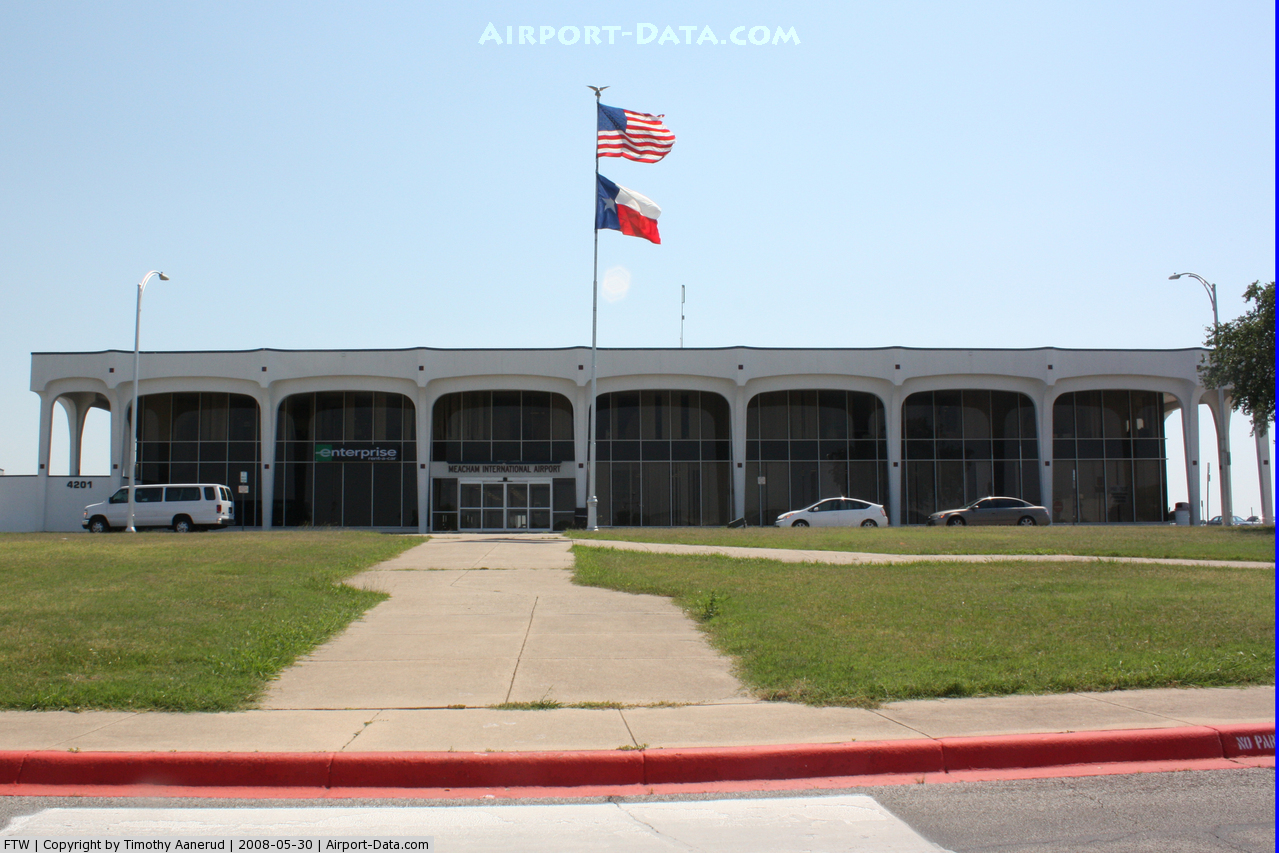
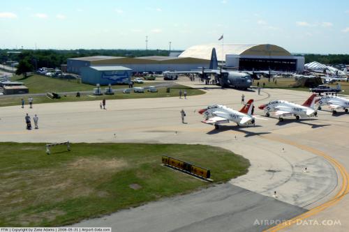
Meacham is currently used for general aviation purposes. Several companies operate aircraft services on the airport property, including a division of the U.S. defense contractor Alliant Techsystems (ATK) and Texas Aviation Services [1]. An aviation museum (open weekends and by appointment during the week) is located in Hangar 33 on the airport's south side, at the end of Ellis Street. The terminal building houses several ATK employees, some Fort Worth city departments (mainly Aviation and Housing Development), a branch of Enterprise Rent-A-Car, and several aviation related businesses. The Civil Air Patrol operates two squadrons at Meacham, the Fort Worth Senior Squadron, and the Phoenix Composite Squadron.
At this moment other Destinations and Airlines include:
- Bombardier Business Jet Solutions, Dallas, Austin
- Citationshares,Providence, Dallas
- Netjets Aviation, Charlotte
The above content comes from Wikipedia and is published under free licenses – click here to read more.
 |
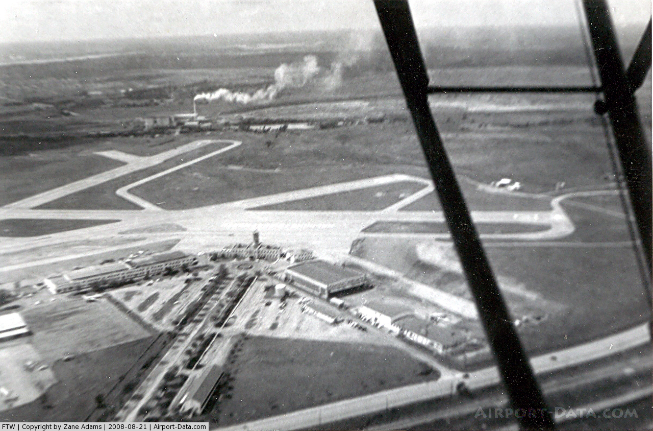
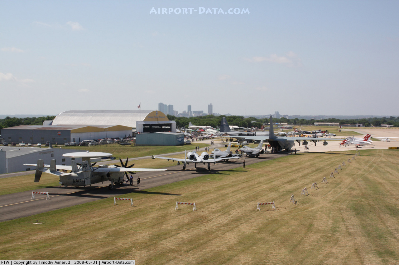
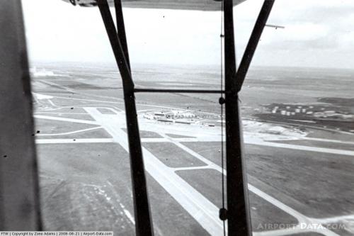
(Click on the photo to enlarge) |
 |
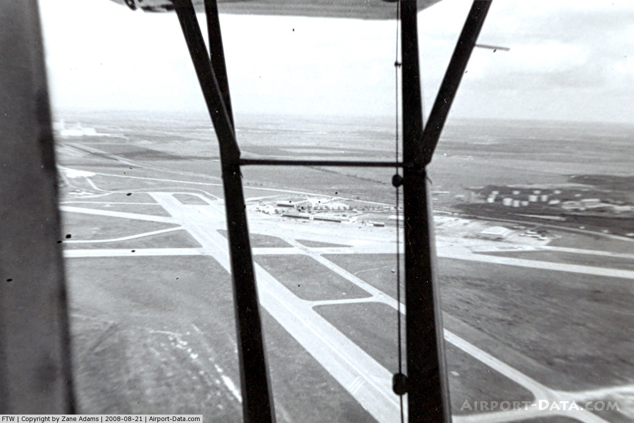
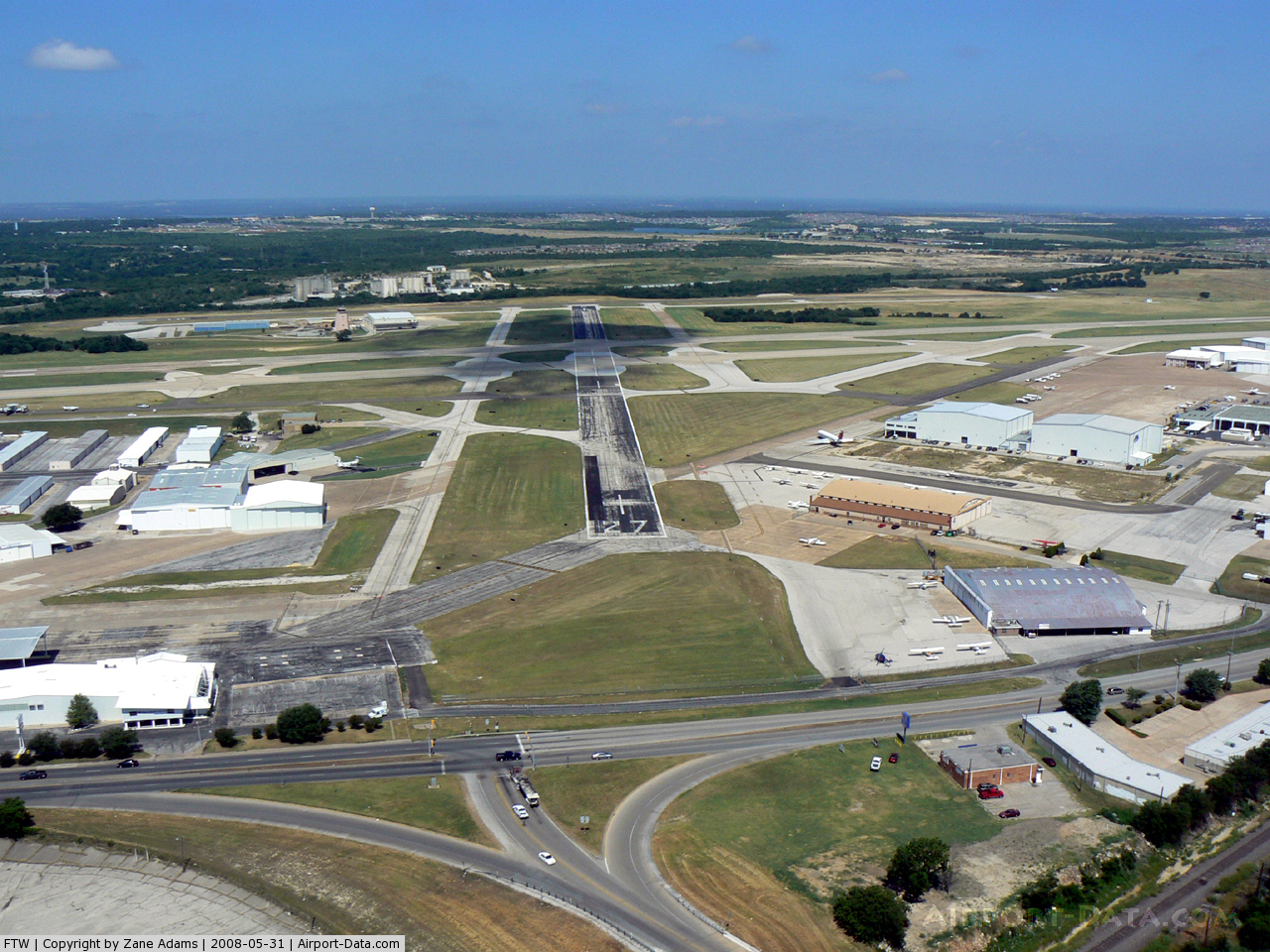
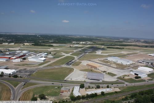
(Click on the photo to enlarge) |
 |
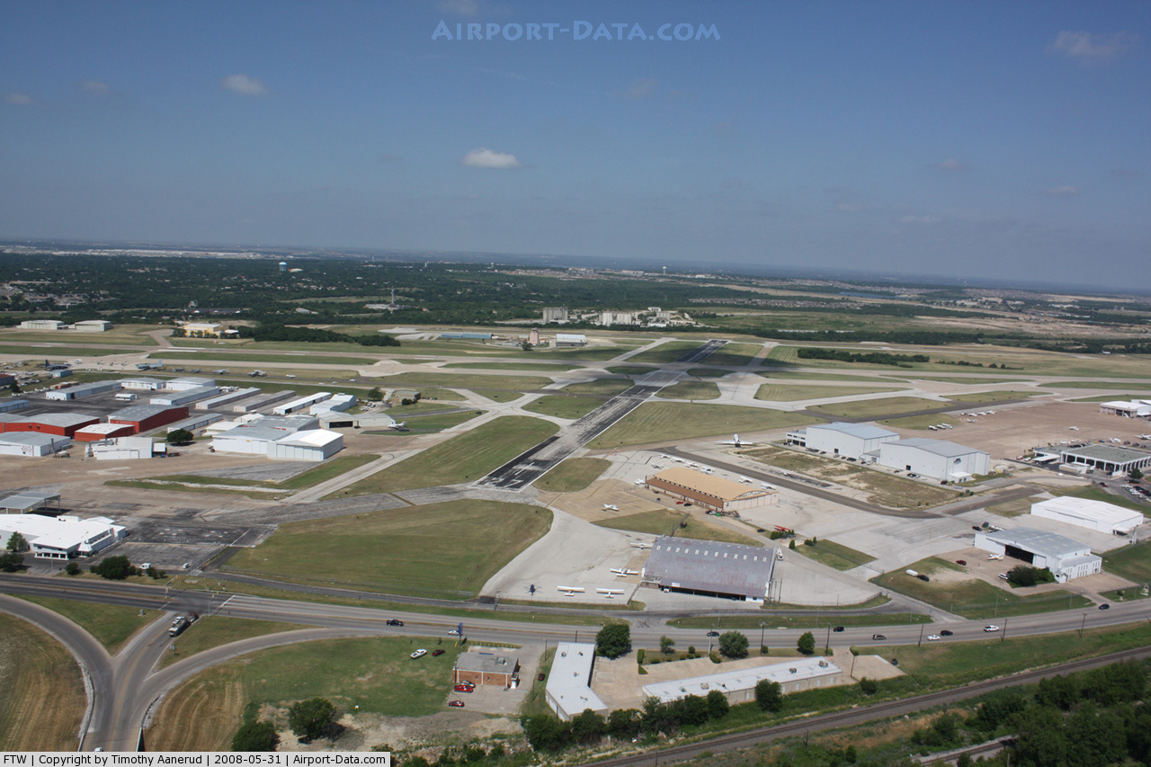
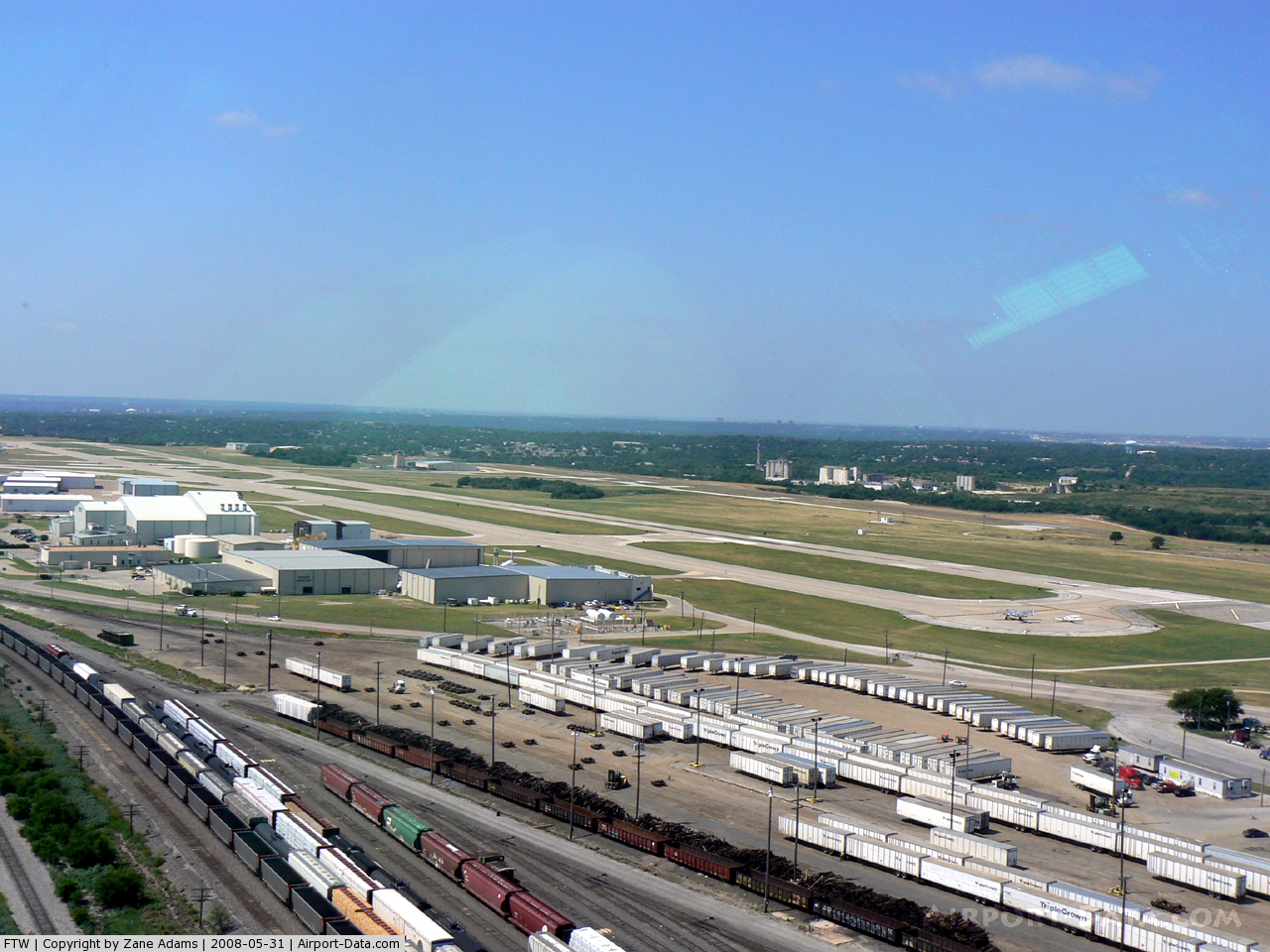
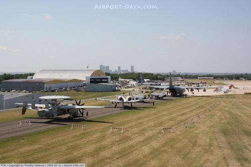
(Click on the photo to enlarge) |
 |
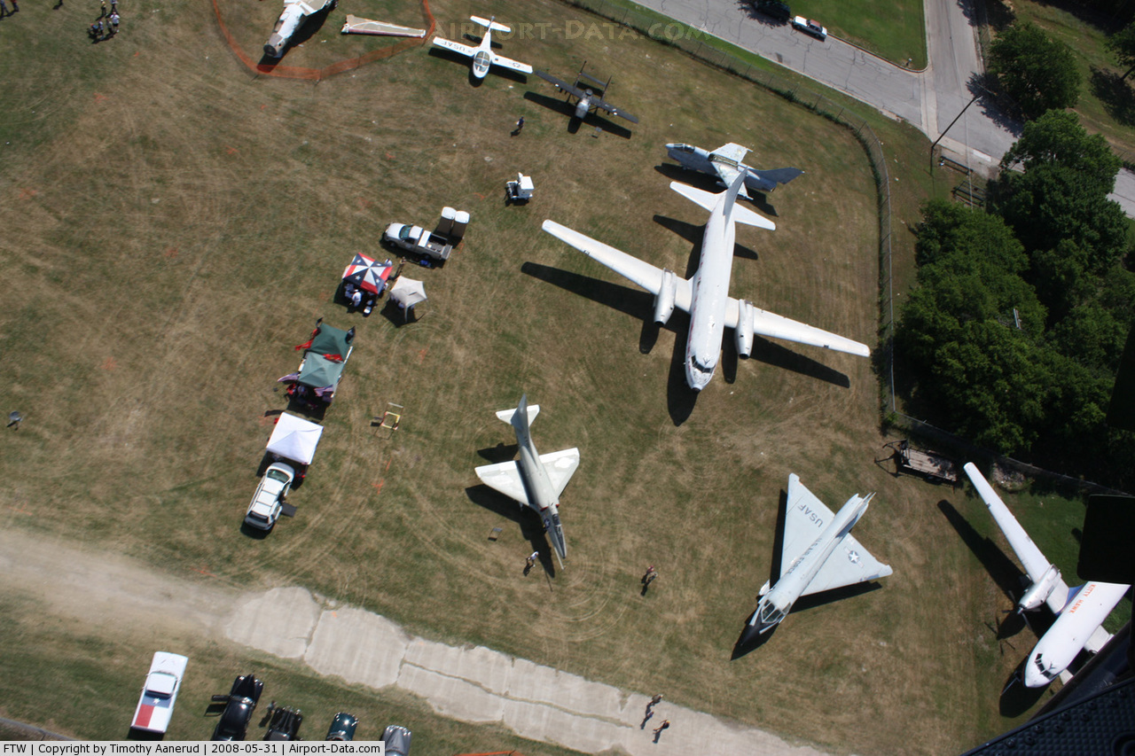
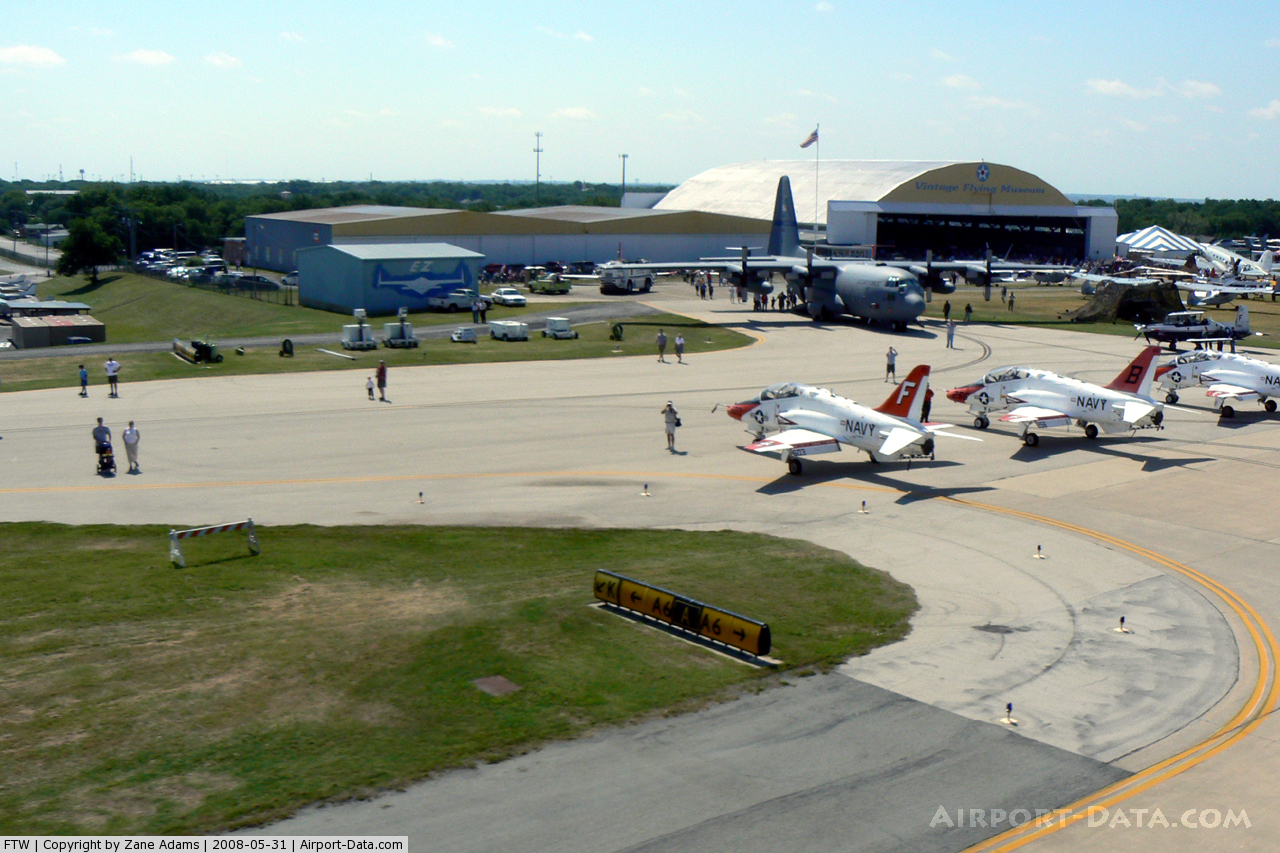
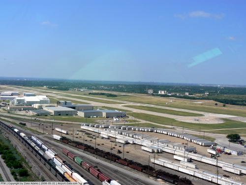
(Click on the photo to enlarge) |
 |
(Click on the photo to enlarge) |
 |
(Click on the photo to enlarge) |
 |
(Click on the photo to enlarge) |
 |
(Click on the photo to enlarge) |
 |
(Click on the photo to enlarge) |
 |
(Click on the photo to enlarge) |
Location & QuickFacts
| FAA Information Effective: | 2008-09-25 |
| Airport Identifier: | FTW |
| Airport Status: | Operational |
| Longitude/Latitude: | 097-21-44.8000W/32-49-11.2000N
-97.362444/32.819778 (Estimated) |
| Elevation: | 710 ft / 216.41 m (Surveyed) |
| Land: | 745 acres |
| From nearest city: | 5 nautical miles N of Fort Worth, TX |
| Location: | Tarrant County, TX |
| Magnetic Variation: | 08E (1975) |
Owner & Manager
| Ownership: | Publicly owned |
| Owner: | City Of Fort Worth |
| Address: | 1000 Throckmorton St.
Fort Worth, TX 76102-6311 |
| Phone number: | 817-392-6116 |
| Manager: | Kent Penny |
| Address: | 4201 N . Main St., Suite 200
Fort Worth, TX 76106-2749 |
| Phone number: | 817-392-5400
FAX 817-392-5413. |
Airport Operations and Facilities
| Airport Use: | Open to public |
| Wind indicator: | Yes |
| Segmented Circle: | Yes |
| Control Tower: | Yes |
| Lighting Schedule: | DUSK-DAWN |
| Beacon Color: | Clear-Green (lighted land airport) |
| Landing fee charge: | Yes
LNDG FEE FOR ACFT WEIGHING OVER 70,000 LBS MAX LNDG WEIGHT. |
| Sectional chart: | Dallas-ft Worth |
| Region: | ASW - Southwest |
| Boundary ARTCC: | ZFW - Fort Worth |
| Tie-in FSS: | FTW - Fort Worth |
| FSS on Airport: | No |
| FSS Phone: | 817-541-3474 |
| FSS Toll Free: | 1-800-WX-BRIEF |
| NOTAMs Facility: | FTW (NOTAM-d service avaliable) |
| Certification type/date: | IV A U 12/197
ARFF INDEX B AVBL ALL USERS ALL HRS. |
| Federal Agreements: | NGPY3 |
Airport Communications
Airport Services
| Fuel available: | 100LLA A1+ |
| Airframe Repair: | MAJOR |
| Power Plant Repair: | MAJOR |
| Bottled Oxygen: | HIGH |
| Bulk Oxygen: | HIGH |
Runway Information
Runway 09/27
| Dimension: | 3677 x 100 ft / 1120.7 x 30.5 m |
| Surface: | ASPH, Poor Condition
RY HAS RAVELING IN CRACKS AND BLOCK CRACKS SPACED 5 FT APART OR LESS. |
| Weight Limit: | Single wheel: 30000 lbs.
Dual wheel: 45000 lbs.
Dual tandem wheel: 60000 lbs. |
| Edge Lights: | Medium |
| |
Runway 09 |
Runway 27 |
| Longitude: | 097-21-54.7000W | 097-21-12.2390W |
| Latitude: | 32-49-07.7000N | 32-49-01.4750N |
| Elevation: | 672.00 ft | 680.00 ft |
| Alignment: | 100 | 127 |
| Traffic Pattern: | Left | Left |
| Markings: | Basic, Good Condition | Basic, Good Condition |
| Crossing Height: | 0.00 ft | 40.00 ft |
| VASI: | | 2-light PAPI on right side |
| Visual Glide Angle: | 0.00° | 3.00° |
| Obstruction: | , 50:1 slope to clear | 15 ft pole, 675.0 ft from runway, 105 ft left of centerline, 31:1 slope to clear |
|
Runway 16/34
| Dimension: | 7501 x 150 ft / 2286.3 x 45.7 m |
| Surface: | CONC, Good Condition
RY HAS RAVELING IN CRACKS AND BLOCK CRACKS SPACED 5 FT APART OR LESS. |
| Surface Treatment: | Saw-cut or plastic Grooved |
| Weight Limit: | Single wheel: 80000 lbs.
Dual wheel: 100000 lbs.
Dual tandem wheel: 190000 lbs.
Dual dual tandem wheel: 350000 lbs. |
| Edge Lights: | High |
| |
Runway 16 |
Runway 34 |
| Longitude: | 097-21-44.9520W | 097-21-32.5730W |
| Latitude: | 32-49-48.6350N | 32-48-35.1570N |
| Elevation: | 710.00 ft | 674.00 ft |
| Alignment: | 127 | 127 |
| ILS Type: | ILS/DME
| ILS/DME
|
| Traffic Pattern: | Left | Right |
| Markings: | Precision instrument, Good Condition | Precision instrument, Good Condition |
| Crossing Height: | 56.00 ft | 0.00 ft |
| VASI: | 4-light PAPI on right side | |
| Visual Glide Angle: | 3.00° | 0.00° |
| RVR Equipment: | touchdown | |
| Approach lights: | MALSR | MALS |
| Runway End Identifier: | Yes | Yes |
| Obstruction: | 31 ft pole, 1450.0 ft from runway, 625 ft left of centerline, 40:1 slope to clear | , 50:1 slope to clear |
|
Runway 17/35
| Dimension: | 4006 x 75 ft / 1221.0 x 22.9 m |
| Surface: | ASPH, Good Condition
RY HAS RAVELING IN CRACKS AND BLOCK CRACKS SPACED 5 FT APART OR LESS. |
| Weight Limit: | Single wheel: 12500 lbs.
Dual wheel: 50000 lbs. |
| Edge Lights: | Medium |
| |
Runway 17 |
Runway 35 |
| Longitude: | 097-21-59.4700W | 097-21-52.8590W |
| Latitude: | 32-49-29.4220N | 32-48-50.1820N |
| Elevation: | 668.00 ft | 667.00 ft |
| Alignment: | 127 | 127 |
| Traffic Pattern: | Right | Left |
| Markings: | Non-precision instrument, Fair Condition | Non-precision instrument, Fair Condition |
| Crossing Height: | 51.00 ft | 40.00 ft |
| VASI: | 2-light PAPI on left side | 2-light PAPI on left side |
| Visual Glide Angle: | 3.75° | 3.25° |
| Obstruction: | 39 ft dam, 1361.0 ft from runway, 1 ft right of centerline, 29:1 slope to clear | , 50:1 slope to clear |
|
Radio Navigation Aids
| ID |
Type |
Name |
Ch |
Freq |
Var |
Dist |
| XQH | NDB | Cedar Hill | | 353.00 | 08E | 23.9 nm |
| RBD | NDB | Redbird | | 287.00 | 06E | 26.3 nm |
| MWL | NDB | Mineral Wells | | 266.00 | 06E | 35.2 nm |
| LNC | NDB | Lancaster | | 239.00 | 06E | 35.5 nm |
| PQF | NDB | Mesquite | | 248.00 | 06E | 42.1 nm |
| JUG | NDB | Jecca | | 388.00 | 06E | 43.0 nm |
| NFW | TACAN | Nas Jrb Fort Worth | 024X | | 07E | 4.9 nm |
| TTT | VOR/DME | Maverick | 078X | 113.10 | 06E | 16.5 nm |
| CVE | VOR/DME | Cowboy | 109X | 116.20 | 06E | 23.5 nm |
| FUZ | VORTAC | Ranger | 104X | 115.70 | 06E | 10.1 nm |
| MQP | VORTAC | Millsap | 124X | 117.70 | 09E | 32.6 nm |
| JEN | VORTAC | Glen Rose | 097X | 115.00 | 06E | 47.5 nm |
| UKW | VORTAC | Bowie | 071X | 112.40 | 06E | 48.8 nm |
| FTW | VOT | Fort Worth Meacham | | 108.20 | | 0.2 nm |
| DAL | VOT | Dallas Love Field | | 113.30 | | 25.8 nm |
Remarks
- TPA FOR RY 17/35 590 FT AGL; ALL OTHER RYS 790 FT AGL.
- TWY K SOUTH OF RY 09/27 CLSD TO ACFT WEIGHING OVER 12,500 LBS.
- RYS 17/35 & 09/27, TWYS B, B1, C, AND D WEST OF RY 16/34, TWYS C & M EAST OF TWY A, TWYS H, J, K SOUTH OF RY 09/27, TWY G SE OF TWY K CLSD TO ACR ACFT WITH MORE THAN 30 PSGR SEATS.
- BIRDS ON & INVOF ARPT.
Images and information placed above are from
http://www.airport-data.com/airport/FTW/
We thank them for the data!
| General Info
|
| Country |
United States
|
| State |
TEXAS
|
| FAA ID |
FTW
|
| Latitude |
32-49-11.200N
|
| Longitude |
097-21-44.800W
|
| Elevation |
710 feet
|
| Near City |
FORT WORTH
|
We don't guarantee the information is fresh and accurate. The data may
be wrong or outdated.
For more up-to-date information please refer to other sources.
|
|