 |
|
Location & QuickFacts
| FAA Information Effective: | 2008-09-25 |
| Airport Identifier: | TX23 |
| Airport Status: | Operational |
| Longitude/Latitude: | 097-56-45.0710W/30-51-22.6550N
-97.945853/30.856293 (Estimated) |
| Elevation: | 1150 ft / 350.52 m (Estimated) |
| Land: | 50 acres |
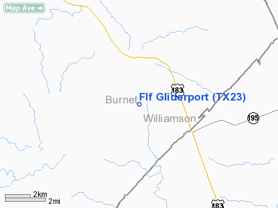
| From nearest city: | 2 nautical miles SW of Briggs, TX |
| Location: | Burnet County, TX |
| Magnetic Variation: | 07E (1985) |
Owner & Manager
| Ownership: | Privately owned |
| Owner: | Fault Line Flyers, Inc |
| Address: | 1804 Oakridge Dr
Round Rock, TX 78681 |
| Phone number: | 512-471-4496 |
| Manager: | William Brinkman |
| Address: | 1804 Oakridge Dr
Round Rock, TX 78681 |
| Phone number: | 512-255-0285 |
Airport Operations and Facilities
| Airport Use: | Private |
| Wind indicator: | Yes |
| Segmented Circle: | No |
| Control Tower: | No |
| Sectional chart: | San Antonio |
| Region: | ASW - Southwest |
| Boundary ARTCC: | ZHU - Houston |
| Tie-in FSS: | SJT - San Angelo |
| FSS Toll Free: | 1-800-WX-BRIEF |
Runway Information
Runway 16/34
| Dimension: | 4500 x 300 ft / 1371.6 x 91.4 m |
| Surface: | TURF, |
| |
Runway 16 |
Runway 34 |
| Traffic Pattern: | Left | Right |
|
Radio Navigation Aids
| ID |
Type |
Name |
Ch |
Freq |
Var |
Dist |
| IL | NDB | Iresh | | 278.00 | 07E | 15.9 nm |
| BMQ | NDB | Burnet | | 341.00 | 07E | 16.5 nm |
| GUO | NDB | Georgetown | | 332.00 | 06E | 17.2 nm |
| GR | NDB | Starn | | 323.00 | 07E | 19.0 nm |
| HLR | NDB | Hood | | 347.00 | 07E | 20.4 nm |
| MFS | NDB | Horseshoe Bay Resort | | 403.00 | 07E | 29.2 nm |
| MNZ | NDB | Hamilton | | 251.00 | 07E | 47.1 nm |
| GRK | VOR/DME | Gray | 055X | 111.80 | 07E | 12.6 nm |
| TPL | VOR/DME | Temple | 041X | 110.40 | 09E | 34.2 nm |
| LZZ | VORTAC | Lampasas | 072X | 112.50 | 08E | 22.2 nm |
| CWK | VORTAC | Centex | 075X | 112.80 | 06E | 35.9 nm |
| LLO | VORTAC | Llano | 019X | 108.20 | 08E | 43.6 nm |
Remarks
- ALL TFC PAT OPNS TO BE CONDUCTED EAST OF THE FIELD.
- GLIDER OPNS ON & INVOF GLIDERPORT.
- PRVDD ALL OPERATIONS ARE CONDUCTED IN ACCORDANCE W/OPERATIONAL LETTER OF AGREEMENT PRVDD ASW-600 ON 01/09/88.
Images and information placed above are from
http://www.airport-data.com/airport/TX23/
We thank them for the data!
| General Info
|
| Country |
United States
|
| State |
TEXAS
|
| FAA ID |
TX23
|
| Latitude |
30-51-22.655N
|
| Longitude |
097-56-45.071W
|
| Elevation |
1150 feet
|
| Near City |
BRIGGS
|
We don't guarantee the information is fresh and accurate. The data may
be wrong or outdated.
For more up-to-date information please refer to other sources.
|
|


