 |
|
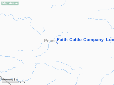
Faith Cattle Company, Longfellow Ranch Airport |
Location & QuickFacts
| FAA Information Effective: | 2008-09-25 |
| Airport Identifier: | 8TE6 |
| Airport Status: | Operational |
| Longitude/Latitude: | 102-43-01.5480W/30-18-00.6380N
-102.717097/30.300177 (Estimated) |
| Elevation: | 3900 ft / 1188.72 m (Estimated) |
| Land: | 0 acres |
| From nearest city: | 37 nautical miles SE of Fort Stockton, TX |
| Location: | Pecos County, TX |
| Magnetic Variation: | 09E (1985) |
Owner & Manager
| Ownership: | Privately owned |
| Owner: | West Interests, Inc. |
| Address: | P.o. Box 7
Houston, TX 77001 |
| Phone number: | 713-850-7911 |
| Manager: | Paul Henderson |
| Address: | P.o. Box 506
Fort Stockton, TX 79735 |
| Phone number: | 915-395-2902 |
Airport Operations and Facilities
| Airport Use: | Private |
| Wind indicator: | Yes |
| Segmented Circle: | No |
| Control Tower: | No |
| Landing fee charge: | No |
| Sectional chart: | San Antonio |
| Region: | ASW - Southwest |
| Boundary ARTCC: | ZAB - Albuquerque |
| Tie-in FSS: | SJT - San Angelo |
| FSS on Airport: | No |
| FSS Toll Free: | 1-800-WX-BRIEF |
Airport Services
| Airframe Repair: | NONE |
| Power Plant Repair: | NONE |
Runway Information
Runway 03/21
| Dimension: | 5800 x 75 ft / 1767.8 x 22.9 m |
| Surface: | ASPH, Poor Condition
RUNWAY ROUGH. |
| |
Runway 03 |
Runway 21 |
| Traffic Pattern: | Left | Left |
|
Radio Navigation Aids
| ID |
Type |
Name |
Ch |
Freq |
Var |
Dist |
| IMP | NDB | Marathon | | 388.00 | 10E | 27.1 nm |
| BWR | NDB | Brewster County | | 412.00 | 09E | 49.1 nm |
| FST | VORTAC | Fort Stockton | 116X | 116.90 | 11E | 41.4 nm |
Remarks
- LIMITED TO AIRCRAFT 12,000 LBS OR LESS.
- UNMARKED POWERLINE APPROACH END OF RUNWAY 21
- AREA IS SOFT WHEN WET.
Images and information placed above are from
http://www.airport-data.com/airport/8TE6/
We thank them for the data!
| General Info
|
| Country |
United States
|
| State |
TEXAS
|
| FAA ID |
8TE6
|
| Latitude |
30-18-00.638N
|
| Longitude |
102-43-01.548W
|
| Elevation |
3900 feet
|
| Near City |
FORT STOCKTON
|
We don't guarantee the information is fresh and accurate. The data may
be wrong or outdated.
For more up-to-date information please refer to other sources.
|
|


