 |
|
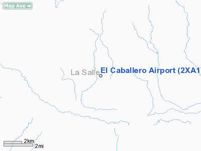
Location & QuickFacts
| FAA Information Effective: | 2008-09-25 |
| Airport Identifier: | 2XA1 |
| Airport Status: | Operational |
| Longitude/Latitude: | 098-56-09.5890W/28-08-24.7160N
-98.935997/28.140199 (Estimated) |
| Elevation: | 317 ft / 96.62 m (Estimated) |
| Land: | 0 acres |
| From nearest city: | 20 nautical miles S of Cotulla, TX |
| Location: | La Salle County, TX |
| Magnetic Variation: | () |
Owner & Manager
| Ownership: | Privately owned |
| Owner: | El Caballero Ranch, Inc |
| Address: | Po Box 52688
Lafayette, LA 70505 |
| Phone number: | 337-201-0957 |
| Manager: | Troy Cormier |
| Address: | 104 Industrial Park #2
Abbeville, LA 70510 |
Airport Operations and Facilities
| Airport Use: | Private |
| Control Tower: | No |
| Sectional chart: | San Antonio |
| Region: | ASW - Southwest |
| Boundary ARTCC: | ZHU - Houston |
| Tie-in FSS: | SJT - San Angelo |
| FSS Toll Free: | 1-800-WX-BRIEF |
Runway Information
Runway 13/31
| Dimension: | 5500 x 75 ft / 1676.4 x 22.9 m |
| Surface: | ASPH, |
| |
Runway 13 |
Runway 31 |
| Traffic Pattern: | Left | Right |
|
Radio Navigation Aids
| ID |
Type |
Name |
Ch |
Freq |
Var |
Dist |
| HBV | NDB | Hebbronville | | 266.00 | 06E | 48.4 nm |
| NOG | TACAN | Orange Grove | 063X | | 09E | 49.6 nm |
| COT | VORTAC | Cotulla | 105X | 115.80 | 09E | 21.6 nm |
| THX | VORTAC | Three Rivers | 051X | 111.40 | 08E | 47.0 nm |
| LRD | VORTAC | Laredo | 121X | 117.40 | 09E | 47.3 nm |
Remarks
- ALL TRAFFIC REMAIN WEST OF THE ARPT.
- NUMEROUS MILITARY ACFT INVOF TRAFFIC PATTERN.
- PRVDD ALL TRAFFIC REMAIN WEST OF THE RY.
Images and information placed above are from
http://www.airport-data.com/airport/2XA1/
We thank them for the data!
|
|


