|
|
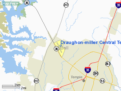
Draughon-miller Central Texas Rgnl Airport |
| Draughon-Miller Central Texas Regional Airport |
 |
| IATA: TPL – ICAO: KTPL |
| Summary |
| Airport type |
Public |
| Owner |
City of Temple, Texas |
| Location |
Temple, Texas |
| Elevation AMSL |
682 ft / 207.9 m |
| Coordinates |
31°09′09.00″N 097°24′28.00″W / 31.1525°N 97.40778°W / 31.1525; -97.40778Coordinates: 31°09′09.00″N 097°24′28.00″W / 31.1525°N 97.40778°W / 31.1525; -97.40778 |
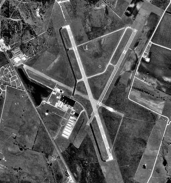
| Runways |
| Direction |
Length |
Surface |
| ft |
m |
| 15/33 |
6,301 |
1,921 |
Asphalt |
| 2/20 |
4,740 |
1,445 |
Asphalt |
Draughon-Miller Central Texas Regional Airport (IATA: TPL, ICAO: KTPL) is a general aviation airport located within city limits, 5 miles NW of central Temple, Texas.
It is owned and operated by the city of Temple, Texas. History
The airport was built in 1942 and opened on 2 July as Temple Army Airfield by the United States Army Air Force. The immediate construction involved runways and airplane hangars, with three concrete runways, several taxiways and a large parking apron and a control tower. Several large hangars were also constructed. Buildings were ultimately utilitarian and quickly assembled. Most base buildings, not meant for long-term use, were constructed of temporary or semi-permanent materials. Although some hangars had steel frames and the occasional brick or tile brick building could be seen, most support buildings sat on concrete foundations but were of frame construction clad in little more than plywood and tarpaper.
Temple AAF was a sub-base of Waco Army Airfield and was used as a basic flying school by the Army Air Forces Flying Training Command, Gulf Training Center (later Central Flying Training Command). Cadets received basic flying indoctrination and training, primarily in North American BT-9s and Stearman PT-17s. Flight training continued until the base was closed on 31 October 1945.
With the end of the war the airfield was determined to be excess by the military and turned over to the local government for civil use.
The above content comes from Wikipedia and is published under free licenses – click here to read more.
 |
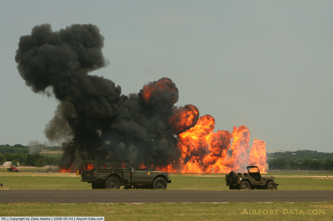
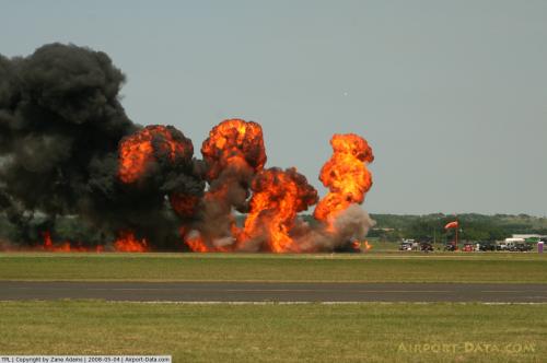
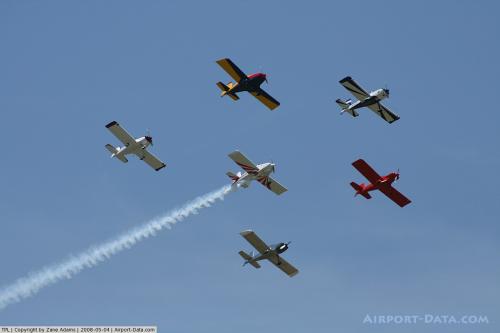
(Click on the photo to enlarge) |
 |
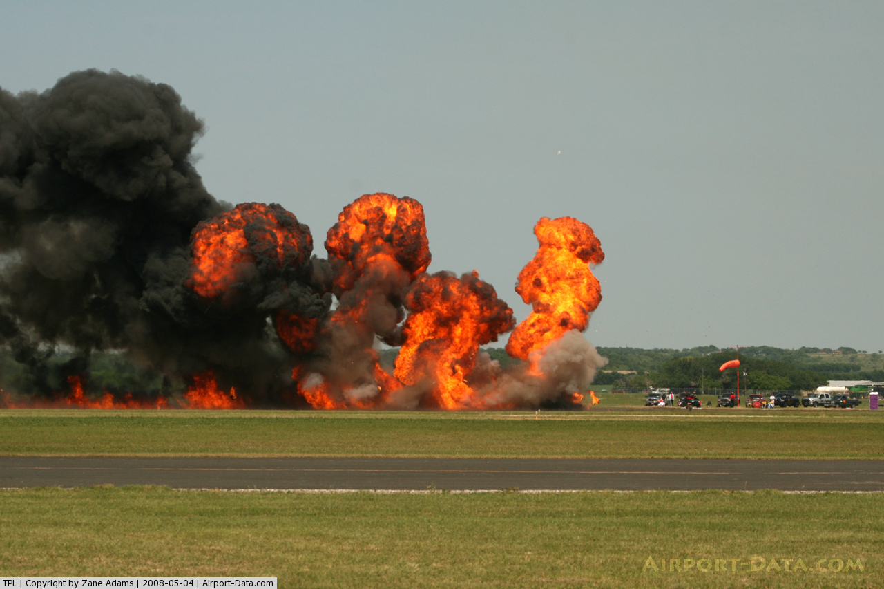
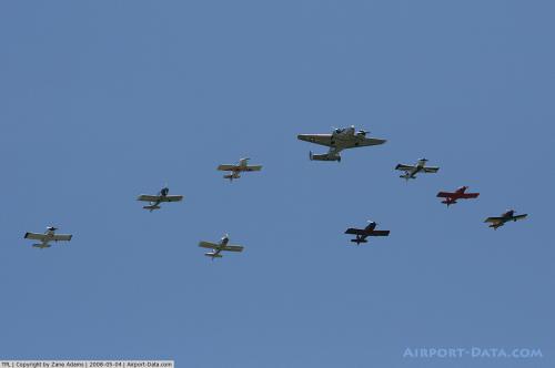
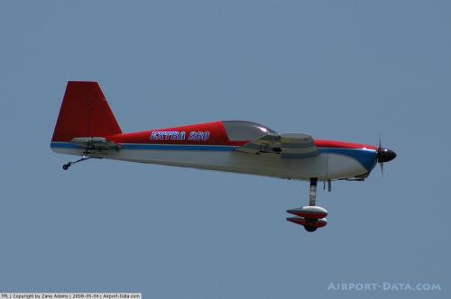
(Click on the photo to enlarge) |
 |
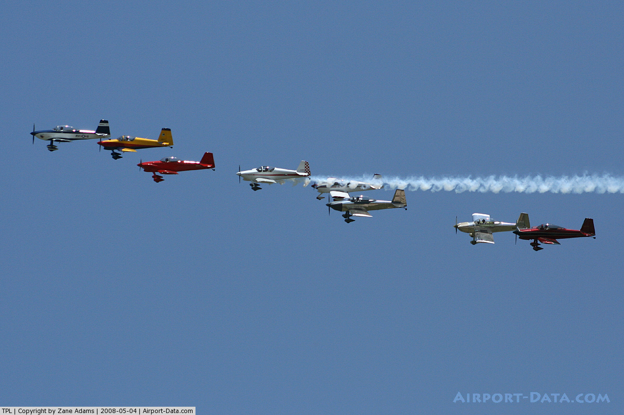
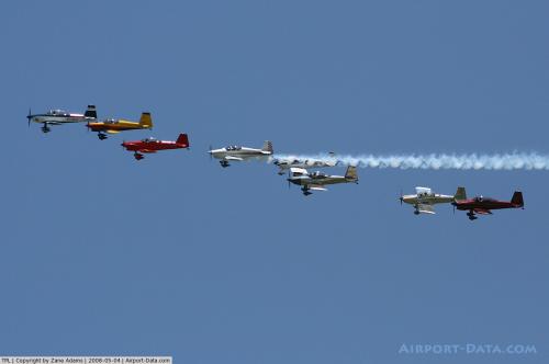
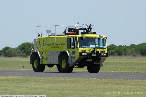
(Click on the photo to enlarge) |
 |
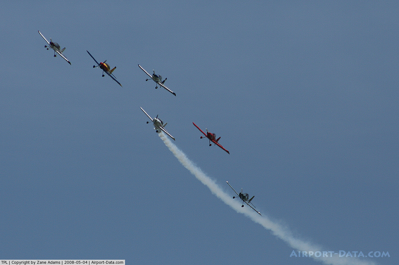
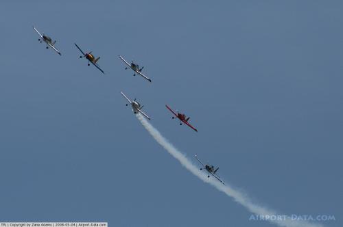
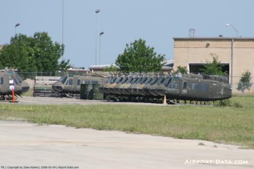
(Click on the photo to enlarge) |
 |
(Click on the photo to enlarge) |
 |
(Click on the photo to enlarge) |
 |
(Click on the photo to enlarge) |
 |
(Click on the photo to enlarge) |
 |
(Click on the photo to enlarge) |
 |
(Click on the photo to enlarge) |
 |
(Click on the photo to enlarge) |
 |
(Click on the photo to enlarge) |
Location & QuickFacts
| FAA Information Effective: | 2008-09-25 |
| Airport Identifier: | TPL |
| Airport Status: | Operational |
| Longitude/Latitude: | 097-24-28.0000W/31-09-09.0000N
-97.407778/31.152500 (Estimated) |
| Elevation: | 682 ft / 207.87 m (Surveyed) |
| Land: | 922 acres |
| From nearest city: | 5 nautical miles NW of Temple, TX |
| Location: | Bell County, TX |
| Magnetic Variation: | 07E (1990) |
Owner & Manager
| Ownership: | Publicly owned |
| Owner: | City Of Temple |
| Address: | 2 N. Main
Temple, TX 76501 |
| Phone number: | 254-298-5660 |
| Manager: | Sharon Rostovich |
| Address: | 7720-f Airport Road
Temple, TX 76501 |
| Phone number: | 254-298-5350 |
Airport Operations and Facilities
| Airport Use: | Open to public |
| Wind indicator: | Yes |
| Segmented Circle: | Yes |
| Control Tower: | No |
| Lighting Schedule: | DUSK-DAWN
ACTVT PAPI RY 20 - CTAF. AFT 2200 MIRL RY 15/33 PRESET LOW INTST; TO INCR INTST & ACTVT MALSR RY 15 - CTAF. MIRL RY 02/20 NOT AVBL AFT 2200. |
| Beacon Color: | Clear-Green (lighted land airport) |
| Landing fee charge: | No |
| Sectional chart: | San Antonio |
| Region: | ASW - Southwest |
| Boundary ARTCC: | ZHU - Houston |
| Responsible ARTCC: | ZFW - Fort Worth |
| Tie-in FSS: | SJT - San Angelo |
| FSS on Airport: | No |
| FSS Toll Free: | 1-800-WX-BRIEF |
| NOTAMs Facility: | TPL (NOTAM-d service avaliable) |
| Certification type/date: | IV A U 05/197
CLSD TO UNSKED ACR OPNS WITH MORE THAN 30 PSGR SEATS EXCP 24 HRS PPR CALL AMGR 254-298-5770. ARFF PROTECTION MEETS INDEX B. |
| Federal Agreements: | NGPRY3 |
Airport Communications
| CTAF: | 123.000 |
| Unicom: | 123.000 |
Airport Services
| Fuel available: | 100LLA A1+ |
| Airframe Repair: | MAJOR |
| Power Plant Repair: | MAJOR |
| Bottled Oxygen: | NONE |
Runway Information
Runway 02/20
| Dimension: | 4740 x 100 ft / 1444.8 x 30.5 m |
| Surface: | ASPH, Good Condition |
| Weight Limit: | Single wheel: 31000 lbs.
Dual wheel: 37000 lbs. |
| Edge Lights: | Medium |
| |
Runway 02 |
Runway 20 |
| Longitude: | 097-24-34.0940W | 097-24-08.8120W |
| Latitude: | 31-08-51.8620N | 31-09-33.4330N |
| Elevation: | 674.00 ft | 665.00 ft |
| Alignment: | 28 | 127 |
| Traffic Pattern: | Left | Left |
| Markings: | Basic, Good Condition | Basic, Good Condition |
| Crossing Height: | 0.00 ft | 45.00 ft |
| VASI: | | 4-light PAPI on left side |
| Visual Glide Angle: | 0.00° | 3.00° |
| Decleard distances: | Take off run available 4740.00 ft
Take off distance available 4740.00 ft
Actual stop distance available 4740.00 ft
Landing distance available 4740.00 ft
| Take off run available 4740.00 ft
Take off distance available 4740.00 ft
Actual stop distance available 4740.00 ft
Landing distance available 4740.00 ft
|
|
Runway 15/33
| Dimension: | 6301 x 150 ft / 1920.5 x 45.7 m |
| Surface: | ASPH, Good Condition |
| Surface Treatment: | Saw-cut or plastic Grooved |
| Weight Limit: | Single wheel: 55000 lbs.
Dual wheel: 70000 lbs.
Dual tandem wheel: 110000 lbs. |
| Edge Lights: | Medium |
| |
Runway 15 |
Runway 33 |
| Longitude: | 097-24-43.7790W | 097-24-22.1140W |
| Latitude: | 31-09-35.9650N | 31-08-36.4610N |
| Elevation: | 682.00 ft | 669.00 ft |
| Alignment: | 127 | 127 |
| ILS Type: | ILS/DME
| |
| Traffic Pattern: | Left | Left |
| Markings: | Precision instrument, Good Condition | Precision instrument, Good Condition |
| Crossing Height: | 0.00 ft | 25.00 ft |
| VASI: | | 4-light PAPI on left side |
| Visual Glide Angle: | 0.00° | 3.00° |
| Approach lights: | MALSR
RAIL OTS INDEFLY. | |
| Runway End Identifier: | | Yes
REIL OTS INDEFLY. |
| Decleard distances: | Take off run available 6301.00 ft
Take off distance available 6301.00 ft
Actual stop distance available 6301.00 ft
Landing distance available 6301.00 ft
| Take off run available 6301.00 ft
Take off distance available 6301.00 ft
Actual stop distance available 6301.00 ft
Landing distance available 6301.00 ft
|
|
Radio Navigation Aids
| ID |
Type |
Name |
Ch |
Freq |
Var |
Dist |
| HLR | NDB | Hood | | 347.00 | 07E | 15.7 nm |
| IL | NDB | Iresh | | 278.00 | 07E | 17.3 nm |
| GR | NDB | Starn | | 323.00 | 07E | 24.2 nm |
| ROB | NDB | Robinson | | 400.00 | 07E | 27.3 nm |
| GUO | NDB | Georgetown | | 332.00 | 06E | 31.4 nm |
| MNZ | NDB | Hamilton | | 251.00 | 07E | 47.2 nm |
| BMQ | NDB | Burnet | | 341.00 | 07E | 49.4 nm |
| TPL | VOR/DME | Temple | 041X | 110.40 | 09E | 3.5 nm |
| GRK | VOR/DME | Gray | 055X | 111.80 | 07E | 22.1 nm |
| ACT | VORTAC | Waco | 100X | 115.30 | 09E | 31.5 nm |
| LZZ | VORTAC | Lampasas | 072X | 112.50 | 08E | 37.8 nm |
| CWK | VORTAC | Centex | 075X | 112.80 | 06E | 46.9 nm |
Remarks
- ARFF NOT AVBL 2200-0500.
- MILITARY CONTRACT FUEL AVBL.
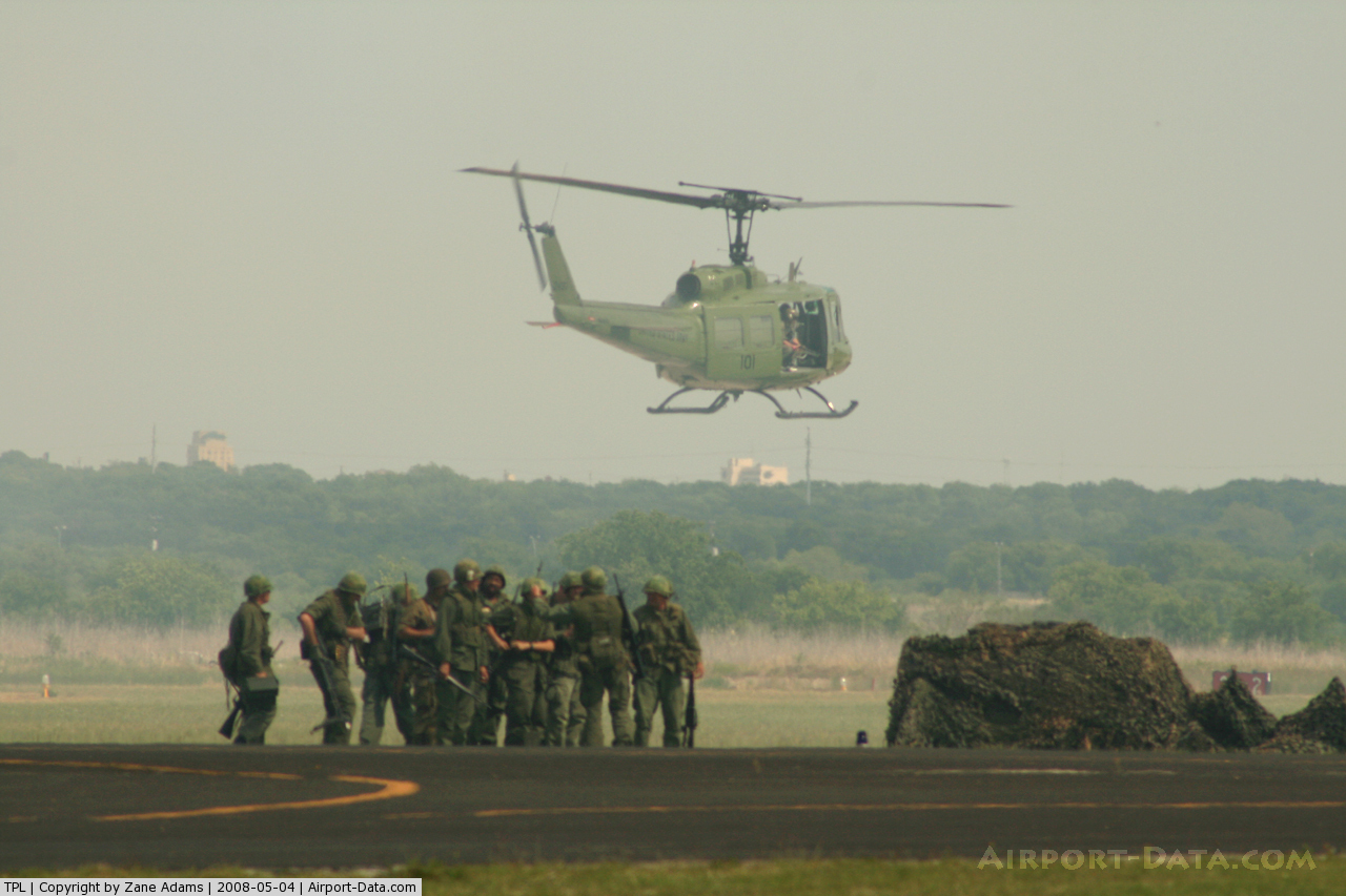
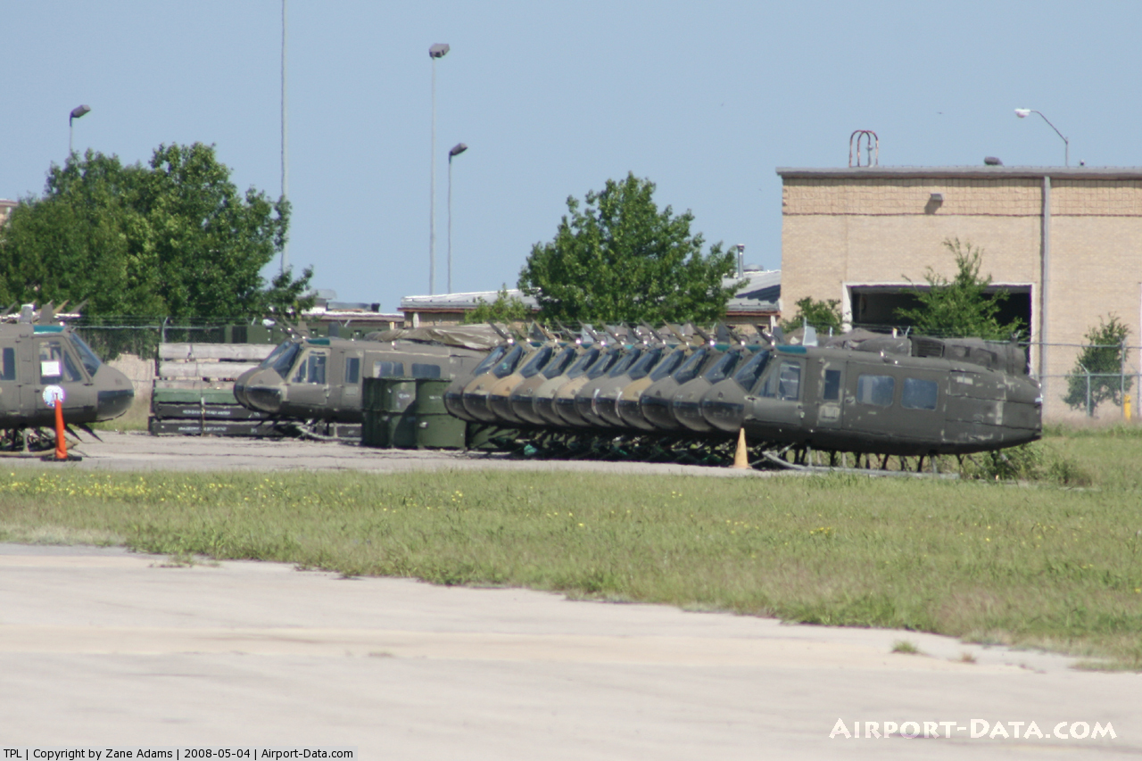
- MILITARY HELICOPTER TRAINING ON AIRPORT.
- PAEW ADJ ALL TWYS & RYS.
- PRE DATES ACT.
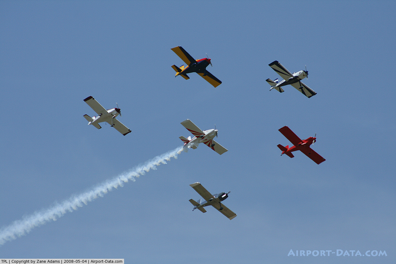
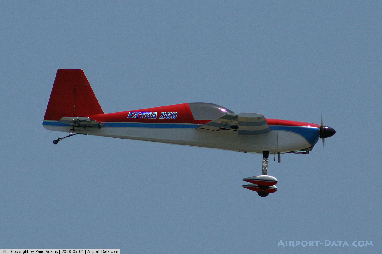
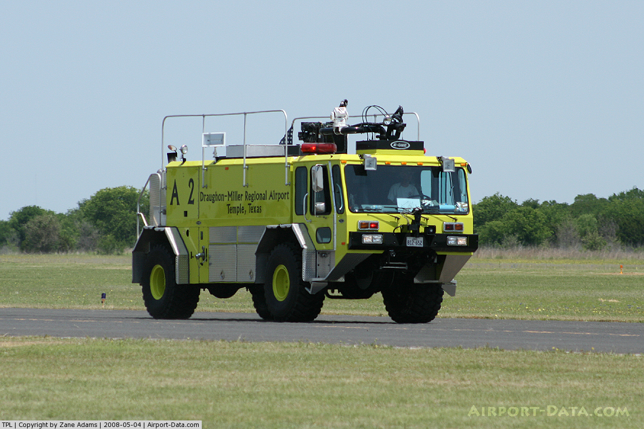
Images and information placed above are from
http://www.airport-data.com/airport/TPL/
We thank them for the data!
| General Info
|
| Country |
United States
|
| State |
TEXAS
|
| FAA ID |
TPL
|
| Latitude |
31-09-09.000N
|
| Longitude |
097-24-28.000W
|
| Elevation |
682 feet
|
| Near City |
TEMPLE
|
We don't guarantee the information is fresh and accurate. The data may
be wrong or outdated.
For more up-to-date information please refer to other sources.
|
|