|
|
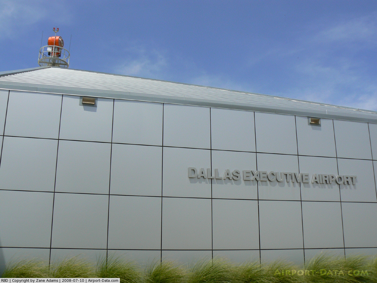
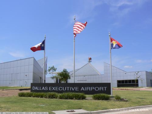
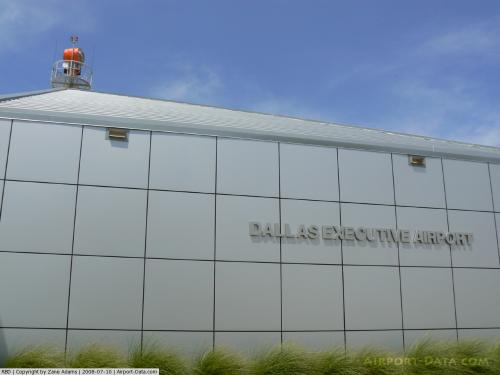
| Dallas Executive Airport |
 |
| IATA: RBD – ICAO: KRBD – FAA LID: RBD |
| Summary |
| Airport type |
City of Dallas |
| Operator |
Dallas, Texas |
| Location |
660 |
| Elevation AMSL |
201.2 ft / m |
| Coordinates |
32°40′51″N 96°52′06″W / 32.68083°N 96.86833°W / 32.68083; -96.86833Coordinates: 32°40′51″N 96°52′06″W / 32.68083°N 96.86833°W / 32.68083; -96.86833 |
| Runways |
| Direction |
Length |
Surface |
| ft |
m |
| 13/31 |
6,451 |
1,966 |
Asphalt/Concrete |
| 17/35 |
3,800 |
1,158 |
Asphalt/Concrete |
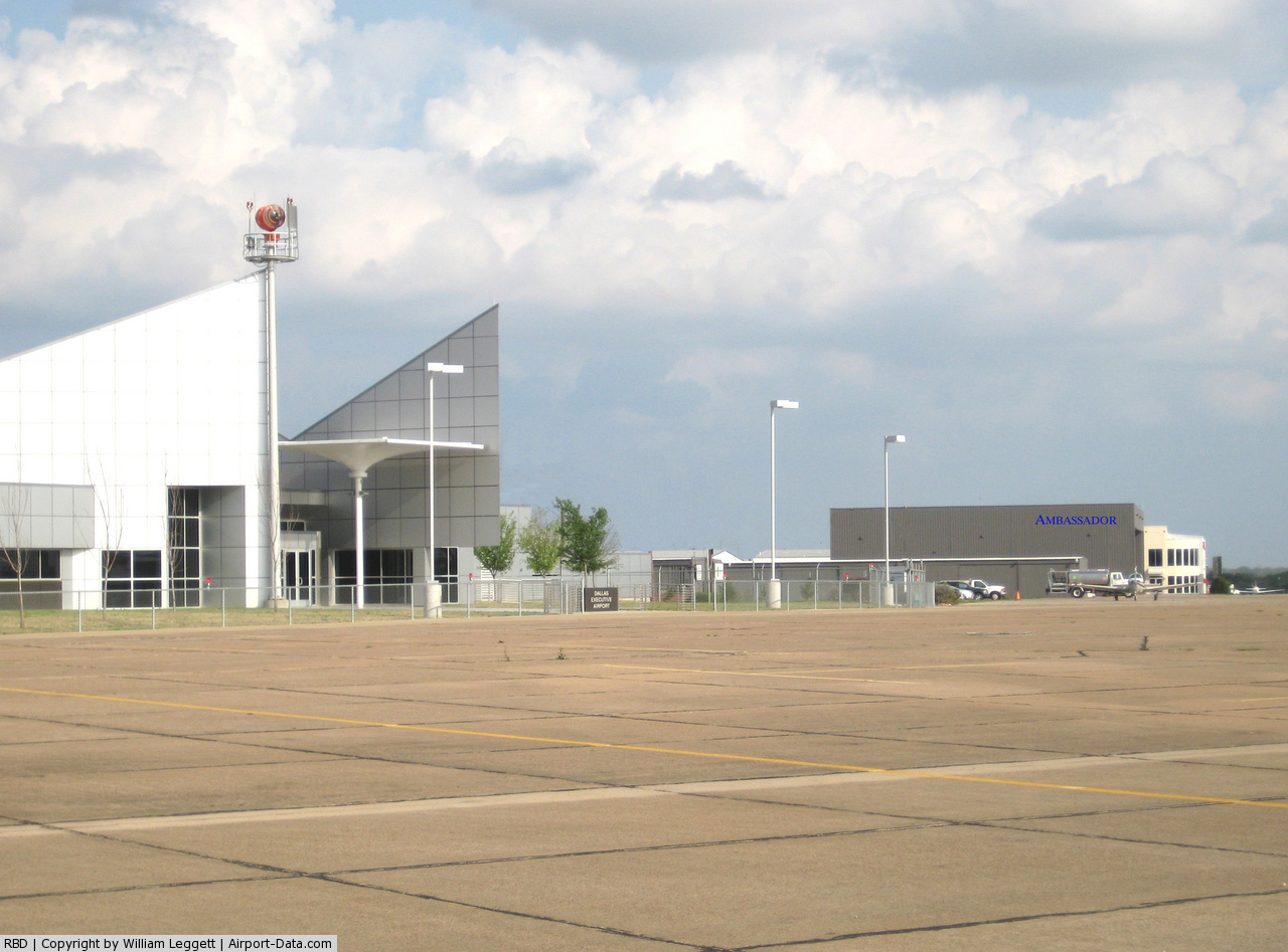
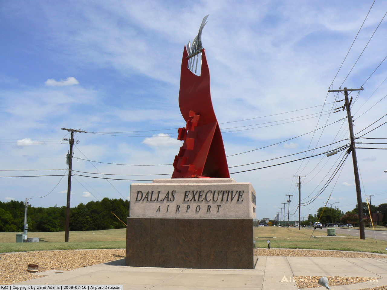
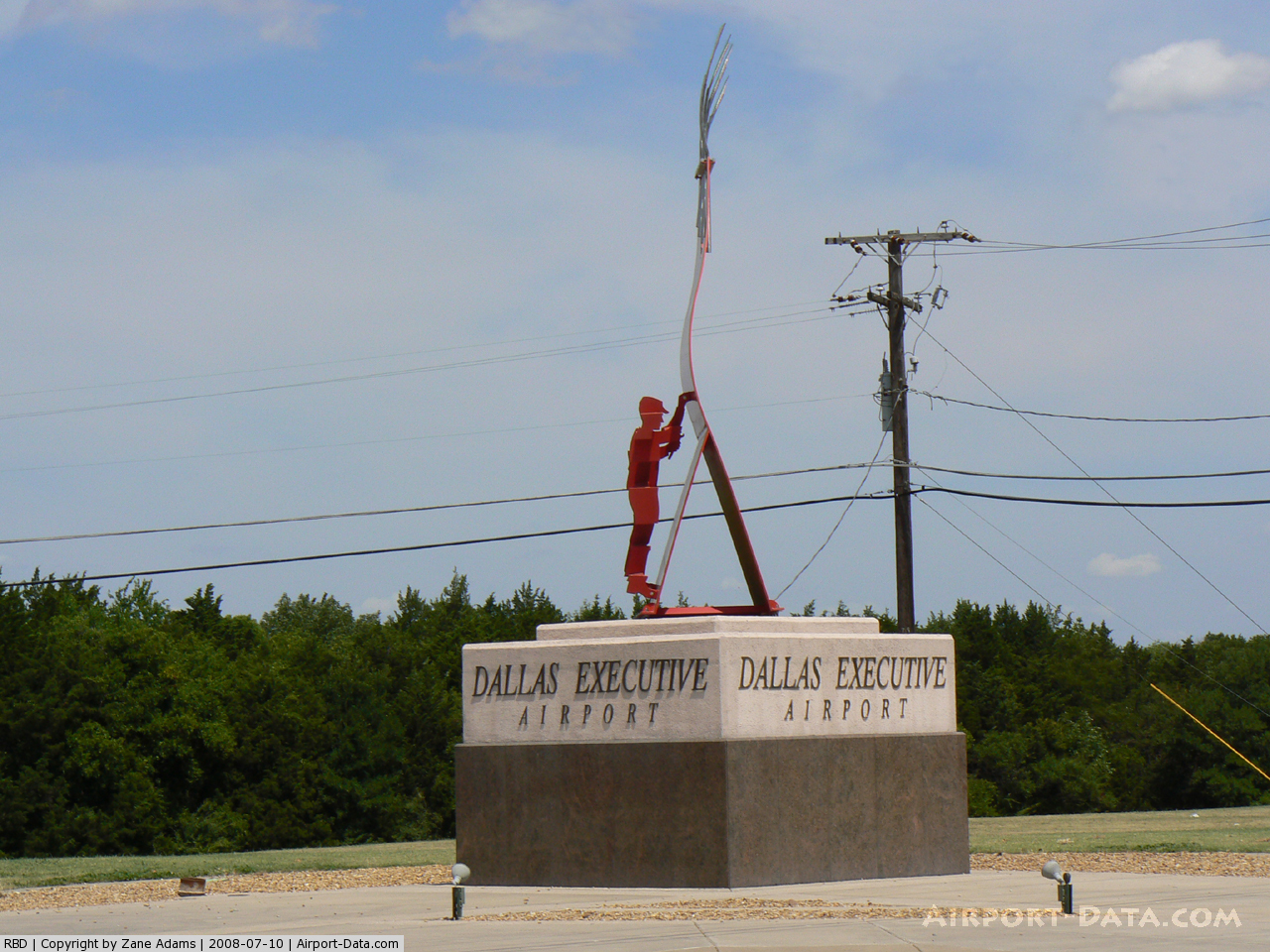
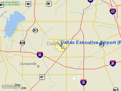
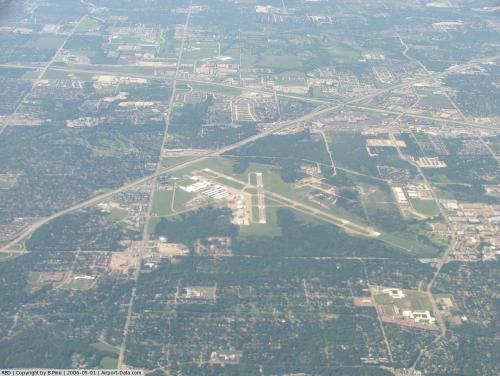
Dallas Executive Airport (IATA: RBD, ICAO: KRBD, FAA LID: RBD), formerly known as Redbird Airport, is a public airport located six miles (10 km) southwest of the central business district (CBD) of the City of Dallas, in Dallas County, Texas, USA. The airport is used entirely for general aviation purposes and serves as a reliever airport for Dallas Love Field.
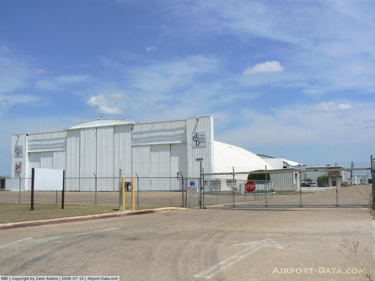
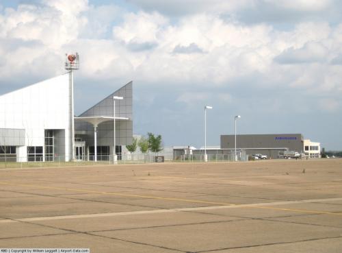
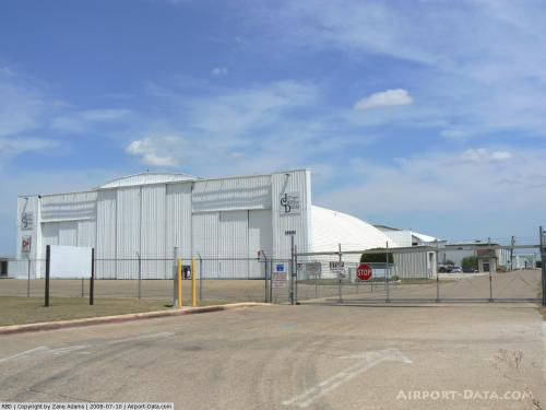
Facilities
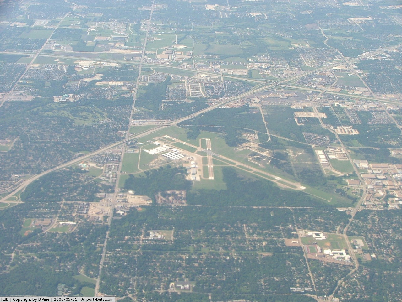
Dallas Executive Airport covers 1,070 acres (433 ha) and has two runways:
- Runway 13/31: 6,451 x 150 ft (1,966 x 46 m), Surface: Asphalt/Concrete
- Runway 17/35: 3,800 x 150 ft (1,158 x 46 m), Surface: Asphalt/Concrete
The above content comes from Wikipedia and is published under free licenses – click here to read more.
 |
(Click on the photo to enlarge) |
 |
(Click on the photo to enlarge) |
 |
(Click on the photo to enlarge) |
 |
(Click on the photo to enlarge) |
 |
(Click on the photo to enlarge) |
 |
(Click on the photo to enlarge) |
 |
(Click on the photo to enlarge) |
 |
(Click on the photo to enlarge) |
Location & QuickFacts
| FAA Information Effective: | 2008-09-25 |
| Airport Identifier: | RBD |
| Airport Status: | Operational |
| Longitude/Latitude: | 096-52-05.5000W/32-40-51.1000N
-96.868194/32.680861 (Estimated) |
| Elevation: | 660 ft / 201.17 m (Surveyed) |
| Land: | 1070 acres |
| From nearest city: | 6 nautical miles SW of Dallas, TX |
| Location: | Dallas County, TX |
| Magnetic Variation: | 06E (1990) |
Owner & Manager
| Ownership: | Publicly owned |
| Owner: | City Of Dallas; Dir Of Avn |
| Address: | L.b.16 Trml Bldg/love Field
Dallas, TX 75235 |
| Phone number: | 214-670-6077 |
| Manager: | Lana Furra |
| Address: | 5303 Challenger Dr. Lb 17
Dallas, TX 75237 |
| Phone number: | 214-670-7612 |
Airport Operations and Facilities
| Airport Use: | Open to public |
| Wind indicator: | Yes |
| Segmented Circle: | Yes |
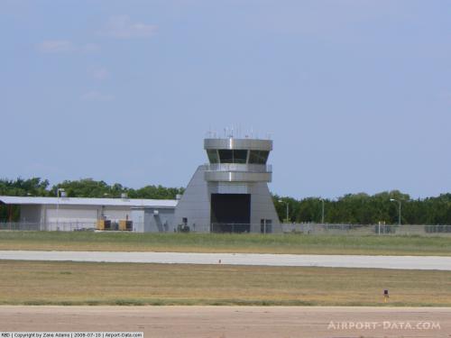
| Control Tower: | Yes |
| Lighting Schedule: | DUSK-DAWN
WHEN ATCT CLSD ACTVT LDIN RY 31; VASI RY 13 & PAPI RY 17 - CTAF. |
| Beacon Color: | Clear-Green (lighted land airport) |
| Sectional chart: | Dallas-ft Worth |
| Region: | ASW - Southwest |
| Boundary ARTCC: | ZFW - Fort Worth |
| Tie-in FSS: | FTW - Fort Worth |
| FSS on Airport: | No |
| FSS Phone: | 817-541-3474 |
| FSS Toll Free: | 1-800-WX-BRIEF |
| NOTAMs Facility: | RBD (NOTAM-d service avaliable) |
| Federal Agreements: | NGY |
Airport Communications
| CTAF: | 127.250 |
| Unicom: | 122.950 |
Airport Services
| Fuel available: | 100LLA
FUEL AVBL 24 HR WITH MAJOR CREDIT CARD. |
| Airframe Repair: | MAJOR |
| Power Plant Repair: | MAJOR |
| Bulk Oxygen: | HIGH/LOW |
Runway Information
Runway 13/31
| Dimension: | 6451 x 150 ft / 1966.3 x 45.7 m |
| Surface: | ASPH-CONC, Good Condition
ASPH AT RY INTERSECTION.
ASPH AT RY INTERSECTION. |
| Weight Limit: | Single wheel: 35000 lbs.
Dual wheel: 60000 lbs.
Dual tandem wheel: 110000 lbs. |
| Edge Lights: | Medium |
| |
Runway 13 |
Runway 31 |
| Longitude: | 096-52-35.1520W | 096-51-41.8630W |
| Latitude: | 32-41-14.3540N | 32-40-29.1570N |
| Elevation: | 655.00 ft | 646.00 ft |
| Alignment: | 127 | 127 |
| ILS Type: | | ILS
|
| Traffic Pattern: | Left | Left |
| Markings: | Non-precision instrument, Good Condition | Precision instrument, Good Condition |
| Crossing Height: | 50.00 ft | 47.00 ft |
| VASI: | 4-box on left side | 4-box on left side |
| Visual Glide Angle: | 3.00° | 3.00° |
| Approach lights: | | LDIN |
| Runway End Identifier: | Yes | |
| Obstruction: | 25 ft trees, 210.0 ft from runway, 261 ft right of centerline
+20 FT TREES & BRUSH 0-200 FT FM THLD 260 FT R; +10 FT TREES & BRUSH 0-200 FT FM THLD 275 FT L. | 7 ft road, 547.0 ft from runway, 513 ft right of centerline, 49:1 slope to clear |
|
Runway 17/35
| Dimension: | 3800 x 150 ft / 1158.2 x 45.7 m |
| Surface: | ASPH-CONC, Good Condition
ASPH AT RY INTERSECTION.
ASPH AT RY INTERSECTION. |
| Weight Limit: | Single wheel: 35000 lbs.
Dual wheel: 60000 lbs.
Dual tandem wheel: 110000 lbs. |
| Edge Lights: | Medium |
| |
Runway 17 |
Runway 35 |
| Longitude: | 096-52-00.4540W | 096-52-00.5510W |
| Latitude: | 32-41-08.8820N | 32-40-31.2850N |
| Elevation: | 651.00 ft | 659.00 ft |
| Alignment: | 127 | 0 |
| Traffic Pattern: | Left | Left |
| Markings: | Non-precision instrument, Good Condition
RY HAS EDGE STRIPES. | Non-precision instrument, Good Condition |
| Crossing Height: | 43.00 ft | 0.00 ft |
| VASI: | 4-light PAPI on right side | |
| Visual Glide Angle: | 3.00° | 0.00° |
| Runway End Identifier: | Yes | Yes |
| Obstruction: | 28 ft tree, 1033.0 ft from runway, 30:1 slope to clear | 25 ft tree, 536.0 ft from runway, 320 ft right of centerline, 13:1 slope to clear |
|
Radio Navigation Aids
| ID |
Type |
Name |
Ch |
Freq |
Var |
Dist |
| RBD | NDB | Redbird | | 287.00 | 06E | 0.3 nm |
| XQH | NDB | Cedar Hill | | 353.00 | 08E | 7.7 nm |
| LNC | NDB | Lancaster | | 239.00 | 06E | 9.7 nm |
| JUG | NDB | Jecca | | 388.00 | 06E | 17.0 nm |
| PQF | NDB | Mesquite | | 248.00 | 06E | 18.8 nm |
| AVZ | NDB | Travis | | 260.00 | 06E | 31.7 nm |
| MII | NDB | Caddo Mills | | 316.00 | 06E | 38.0 nm |
| CGQ | NDB | Powell | | 344.00 | 06E | 43.3 nm |
| SYW | NDB | Cash | | 428.00 | 05E | 44.3 nm |
| CRS | NDB | Corsicana | | 396.00 | 06E | 46.0 nm |
| NFW | TACAN | Nas Jrb Fort Worth | 024X | | 07E | 29.4 nm |
| MJF | TACAN | Arvilla | 033X | | 05E | 46.9 nm |
| CVE | VOR/DME | Cowboy | 109X | 116.20 | 06E | 12.7 nm |
| TTT | VOR/DME | Maverick | 078X | 113.10 | 06E | 14.3 nm |
| FUZ | VORTAC | Ranger | 104X | 115.70 | 06E | 20.1 nm |
| CQY | VORTAC | Cedar Creek | 095X | 114.80 | 06E | 44.4 nm |
| DAL | VOT | Dallas Love Field | | 113.30 | | 10.0 nm |
| FTW | VOT | Fort Worth Meacham | | 108.20 | | 26.1 nm |
Remarks
- BIRDS ON & INVOF ARPT.
- PRE-DATES ACT.
Images and information placed above are from
http://www.airport-data.com/airport/RBD/
We thank them for the data!
| General Info
|
| Country |
United States
|
| State |
TEXAS
|
| FAA ID |
RBD
|
| Latitude |
32-40-51.100N
|
| Longitude |
096-52-05.500W
|
| Elevation |
660 feet
|
| Near City |
DALLAS
|
We don't guarantee the information is fresh and accurate. The data may
be wrong or outdated.
For more up-to-date information please refer to other sources.
|
|