|
|
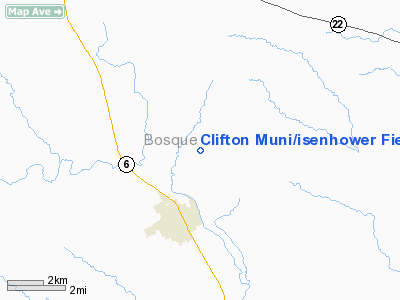
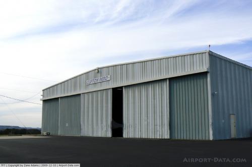
Clifton Muni/isenhower Field Airport |
 |
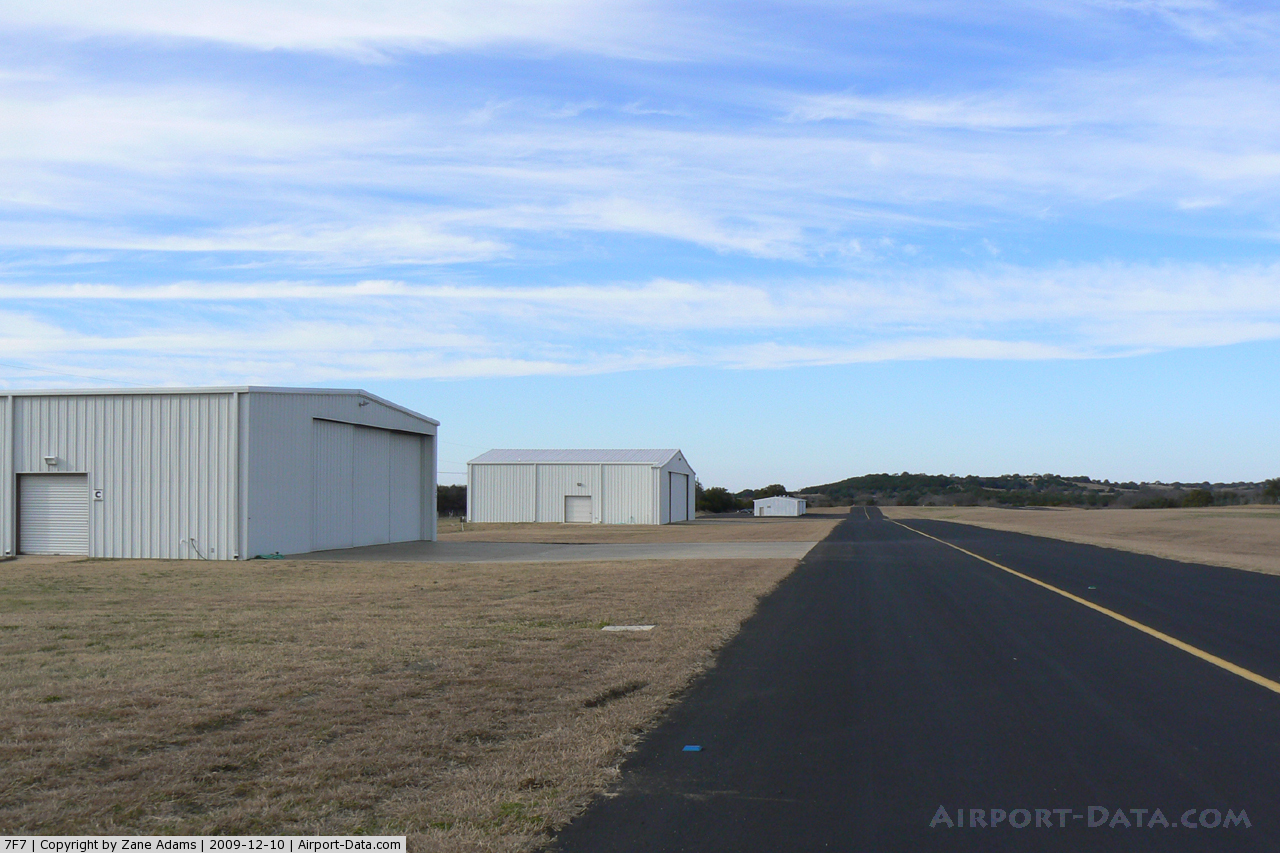
(Click on the photo to enlarge) |
 |
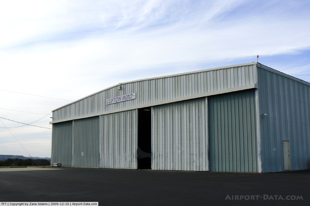
(Click on the photo to enlarge) |
 |
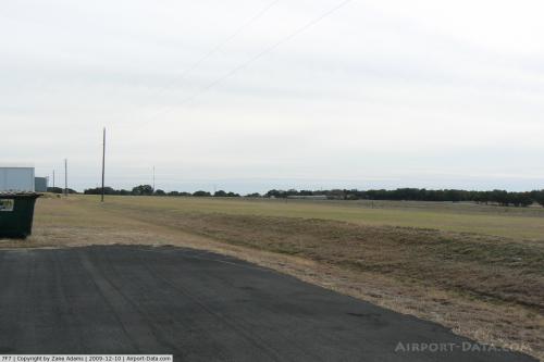
(Click on the photo to enlarge) |
Location & QuickFacts
| FAA Information Effective: | 2008-09-25 |
| Airport Identifier: | 7F7 |
| Airport Status: | Operational |
| Longitude/Latitude: | 097-34-01.0690W/31-49-00.5640N
-97.566964/31.816823 (Estimated) |
| Elevation: | 760 ft / 231.65 m (Estimated) |
| Land: | 42 acres |
| From nearest city: | 2 nautical miles N of Clifton, TX |
| Location: | Bosque County, TX |
| Magnetic Variation: | 07E (1985) |
Owner & Manager
| Ownership: | Publicly owned |
| Owner: | City Of Clifton |
| Address: | Po Box 231
Clifton, TX 76634 |
| Phone number: | 254-675-8337 |
| Manager: | Tim Talley |
| Address: | Po Box 249
Clifton, TX 76634 |
| Phone number: | 254-675-3771 |
Airport Operations and Facilities
| Airport Use: | Open to public |
| Wind indicator: | Yes |
| Segmented Circle: | Yes |
| Control Tower: | No |
| Lighting Schedule: | DUSK-DAWN |
| Beacon Color: | Clear-Green (lighted land airport) |
| Landing fee charge: | No |
| Sectional chart: | San Antonio |
| Region: | ASW - Southwest |
| Boundary ARTCC: | ZFW - Fort Worth |
| Tie-in FSS: | FTW - Fort Worth |
| FSS on Airport: | No |
| FSS Phone: | 817-541-3474 |
| FSS Toll Free: | 1-800-WX-BRIEF |
| NOTAMs Facility: | FTW (NOTAM-d service avaliable) |
| Federal Agreements: | N |
Airport Communications
| CTAF: | 122.800 |
| Unicom: | 122.800 |
Airport Services
| Fuel available: | 100LL |
| Airframe Repair: | MAJOR |
| Power Plant Repair: | MAJOR |
| Bottled Oxygen: | HIGH |
Runway Information
Runway 14/32
| Dimension: | 3000 x 50 ft / 914.4 x 15.2 m |
| Surface: | ASPH, Good Condition |
| Weight Limit: | Single wheel: 13000 lbs. |
| Edge Lights: | Non-standard lighting system
NSTD LIRL. RY 32 NSTD DSPLCD THLD LGTS 6 RED LGTS 140 FT FM END OF RY; 2860 FT LGTD AT NIGHT. |
| |
Runway 14 |
Runway 32 |
| Traffic Pattern: | Left | Left |
| Markings: | Basic, Good Condition | Basic, Good Condition |
| Crossing Height: | 28.00 ft | 28.00 ft |
| Displaced threshold: | 0.00 ft | 140.00 ft |
| VASI: | pulsating/steady burning on left side | pulsating/steady burning on left side |
| Visual Glide Angle: | 4.00° | 3.00° |
| Obstruction: | 160 ft hill, 5500.0 ft from runway, 33:1 slope to clear | 36 ft tree, 200.0 ft from runway, 50 ft left of centerline
APCH RATIO 9:1 TO DSPLCD THLD.
4' FENCE 190' FM THR ON EXTNDD CNTRLN. |
|
Radio Navigation Aids
| ID |
Type |
Name |
Ch |
Freq |
Var |
Dist |
| ROB | NDB | Robinson | | 400.00 | 07E | 31.6 nm |
| MNZ | NDB | Hamilton | | 251.00 | 07E | 32.0 nm |
| HLR | NDB | Hood | | 347.00 | 07E | 42.0 nm |
| GR | NDB | Starn | | 323.00 | 07E | 42.1 nm |
| IL | NDB | Iresh | | 278.00 | 07E | 48.2 nm |
| TPL | VOR/DME | Temple | 041X | 110.40 | 09E | 37.2 nm |
| GRK | VOR/DME | Gray | 055X | 111.80 | 07E | 48.8 nm |
| ACT | VORTAC | Waco | 100X | 115.30 | 09E | 17.8 nm |
| JEN | VORTAC | Glen Rose | 097X | 115.00 | 06E | 26.0 nm |
| LZZ | VORTAC | Lampasas | 072X | 112.50 | 08E | 48.0 nm |
Remarks
- STEEP DROP OFF NORTH OF RWY 14.
- GRVL ON NE END OF TWY.
- RY 14 HAS WATER PONDING AT END OF RY AFT HVY RAIN.
Images and information placed above are from
http://www.airport-data.com/airport/7F7/
We thank them for the data!
| General Info
|
| Country |
United States
|
| State |
TEXAS
|
| FAA ID |
7F7
|
| Latitude |
31-49-00.564N
|
| Longitude |
097-34-01.069W
|
| Elevation |
760 feet
|
| Near City |
CLIFTON
|
We don't guarantee the information is fresh and accurate. The data may
be wrong or outdated.
For more up-to-date information please refer to other sources.
|
|