|
|
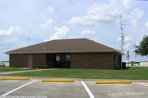 |
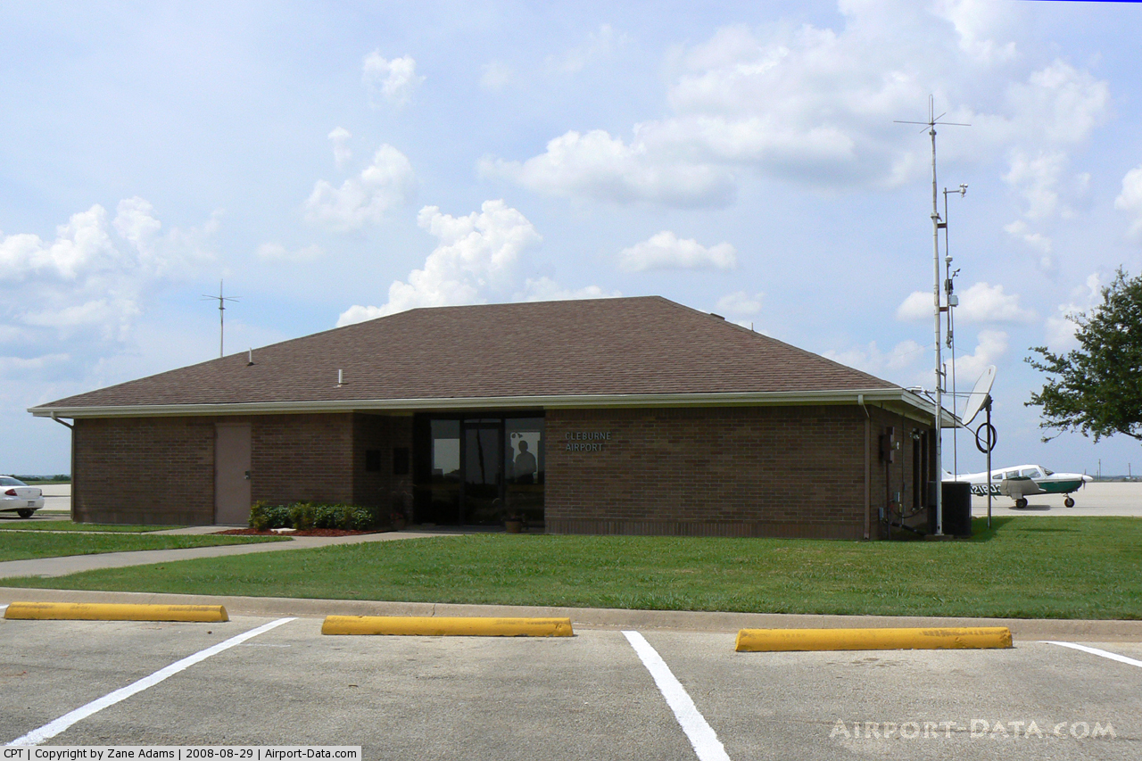
(Click on the photo to enlarge) |
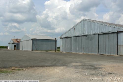 |
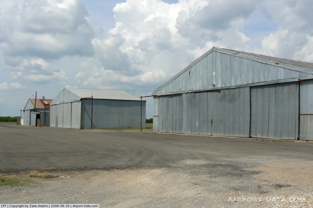
(Click on the photo to enlarge) |
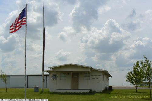 |
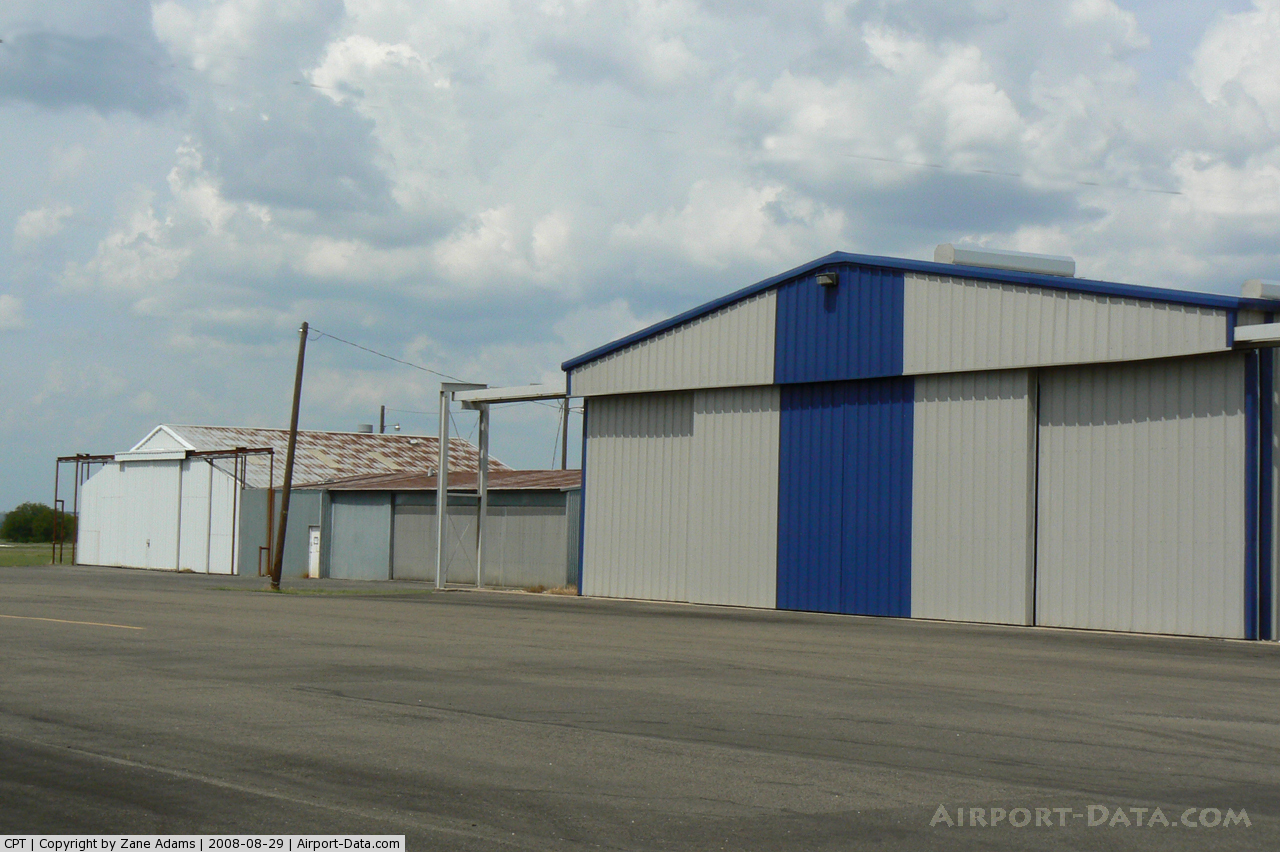
(Click on the photo to enlarge) |
 |
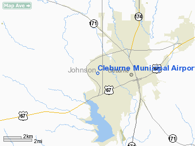
(Click on the photo to enlarge) |
Location & QuickFacts
| FAA Information Effective: | 2008-09-25 |
| Airport Identifier: | CPT |
| Airport Status: | Operational |
| Longitude/Latitude: | 097-26-01.5000W/32-21-13.5000N
-97.433750/32.353750 (Estimated) |
| Elevation: | 854 ft / 260.30 m (Surveyed) |
| Land: | 520 acres |
| From nearest city: | 2 nautical miles NW of Cleburne, TX |
| Location: | Johnson County, TX |
| Magnetic Variation: | 06E (2000) |
Owner & Manager
| Ownership: | Publicly owned |
| Owner: | City Of Cleburne |
| Address: | Po Box 657
Cleburne, TX 76033 |
| Phone number: | 817-645-0900 |
| Manager: | Sam Ball, Fbo Mgr |
| Address: | 1650 Airport Drive
Cleburne, TX 76033 |
| Phone number: | 817-641-5456
EMERGENCY PHONE: 817-645-0972. |
Airport Operations and Facilities
| Airport Use: | Open to public |
| Wind indicator: | Yes |
| Segmented Circle: | Yes |
| Control Tower: | No |
| Lighting Schedule: | DUSK-DAWN
ACTVT MIRL RY 15/33 & PAPI RY 15 - CTAF. |
| Beacon Color: | Clear-Green (lighted land airport) |
| Landing fee charge: | No |
| Sectional chart: | Dallas-ft Worth |
| Region: | ASW - Southwest |
| Boundary ARTCC: | ZFW - Fort Worth |
| Tie-in FSS: | FTW - Fort Worth |
| FSS on Airport: | No |
| FSS Phone: | 817-541-3474 |
| FSS Toll Free: | 1-800-WX-BRIEF |
| NOTAMs Facility: | CPT (NOTAM-d service avaliable) |
| Federal Agreements: | NGY |
Airport Communications
| CTAF: | 122.800 |
| Unicom: | 122.800 |
Airport Services
| Fuel available: | 100LLA |
| Airframe Repair: | MAJOR
NO FABRIC OR COMPOSITE WORK. |
| Power Plant Repair: | MAJOR |
| Bottled Oxygen: | NONE |
| Bulk Oxygen: | NONE |
Runway Information
Runway 15/33
| Dimension: | 5697 x 100 ft / 1736.4 x 30.5 m |
| Surface: | ASPH, Good Condition |
| Weight Limit: | Single wheel: 30000 lbs. |
| Edge Lights: | Medium |
| |
Runway 15 |
Runway 33 |
| Longitude: | 097-26-13.2781W | 097-25-49.6998W |
| Latitude: | 32-21-39.8723N | 32-20-47.1779N |
| Elevation: | 854.00 ft | 845.00 ft |
| Alignment: | 127 | 127 |
| ILS Type: | LOC/DME
| |
| Traffic Pattern: | Right | Left |
| Markings: | Non-precision instrument, Good Condition | Non-precision instrument, Good Condition |
| Crossing Height: | 39.00 ft | 0.00 ft |
| Displaced threshold: | 185.00 ft | 0.00 ft |
| VASI: | 4-light PAPI on left side | |
| Visual Glide Angle: | 3.00° | 0.00° |
| Obstruction: | 14 ft tree, 438.0 ft from runway, 350 ft right of centerline, 17:1 slope to clear
APCH SLOPE 44:1 BASED ON DSPLCD THLD. | 30 ft pole, 1330.0 ft from runway, 285 ft left of centerline, 37:1 slope to clear |
|
Radio Navigation Aids
| ID |
Type |
Name |
Ch |
Freq |
Var |
Dist |
| XQH | NDB | Cedar Hill | | 353.00 | 08E | 27.2 nm |
| RBD | NDB | Redbird | | 287.00 | 06E | 34.5 nm |
| LNC | NDB | Lancaster | | 239.00 | 06E | 38.5 nm |
| MWL | NDB | Mineral Wells | | 266.00 | 06E | 40.9 nm |
| JUG | NDB | Jecca | | 388.00 | 06E | 49.4 nm |
| NFW | TACAN | Nas Jrb Fort Worth | 024X | | 07E | 25.1 nm |
| TTT | VOR/DME | Maverick | 078X | 113.10 | 06E | 36.8 nm |
| CVE | VOR/DME | Cowboy | 109X | 116.20 | 06E | 41.9 nm |
| JEN | VORTAC | Glen Rose | 097X | 115.00 | 06E | 25.4 nm |
| FUZ | VORTAC | Ranger | 104X | 115.70 | 06E | 34.7 nm |
| MQP | VORTAC | Millsap | 124X | 117.70 | 09E | 36.3 nm |
| ACT | VORTAC | Waco | 100X | 115.30 | 09E | 42.4 nm |
| FTW | VOT | Fort Worth Meacham | | 108.20 | | 28.1 nm |
| DAL | VOT | Dallas Love Field | | 113.30 | | 41.8 nm |
Images and information placed above are from
http://www.airport-data.com/airport/CPT/
We thank them for the data!
| General Info
|
| Country |
United States
|
| State |
TEXAS
|
| FAA ID |
CPT
|
| Time |
UTC-6(-5DT)
|
| Latitude |
32.353764
32° 21' 13.55" N
|
| Longitude |
-97.433750
097° 26' 01.50" W
|
| Elevation |
854 feet
260 meters
|
| Type |
Civil
|
| Magnetic Variation |
005° E (01/06)
|
| Beacon |
Yes
|
| Operating Agency |
U.S.CIVIL AIRPORT WHEREIN PERMIT COVERS USE BY TRANSIT MILITARY AIRCRAFT
|
| Operating Hours |
SEE REMARKS FOR OPERATING HOURS OR COMMUNICATIONS FOR POSSIBLE HOURS
|
| Daylight Saving Time |
Second Sunday in March at 0200 to first Sunday in November at 0200 local time (Exception Arizona and that portion of Indiana in the Eastern Time Zone)
|
We don't guarantee the information is fresh and accurate. The data may
be wrong or outdated.
For more up-to-date information please refer to other sources.
|
|