|
|
Cannon Field
Cannon Field |
| IATA: 53TX – ICAO: none |
| Summary |
| Airport type |
Private |
| Owner |
Alamo Liaison Group dba Alamo Liaison Squadron |
| Operator |
Alamo Liaison Squadron |
| Serves |
San Antonio |
| Location |
San Antonio, Texas United States |
| Elevation AMSL |
610 ft / 186 (estimated) m |
| Coordinates |
29°12′57.8640″N 98°32′58.0630″W / 29.21607333°N 98.54946194°W / 29.21607333; -98.54946194 |
| Website |
[1] |
| Runways |
| Direction |
Length |
Surface |
| ft |
m |
| 13-31 |
2,880 |
|
Grass |
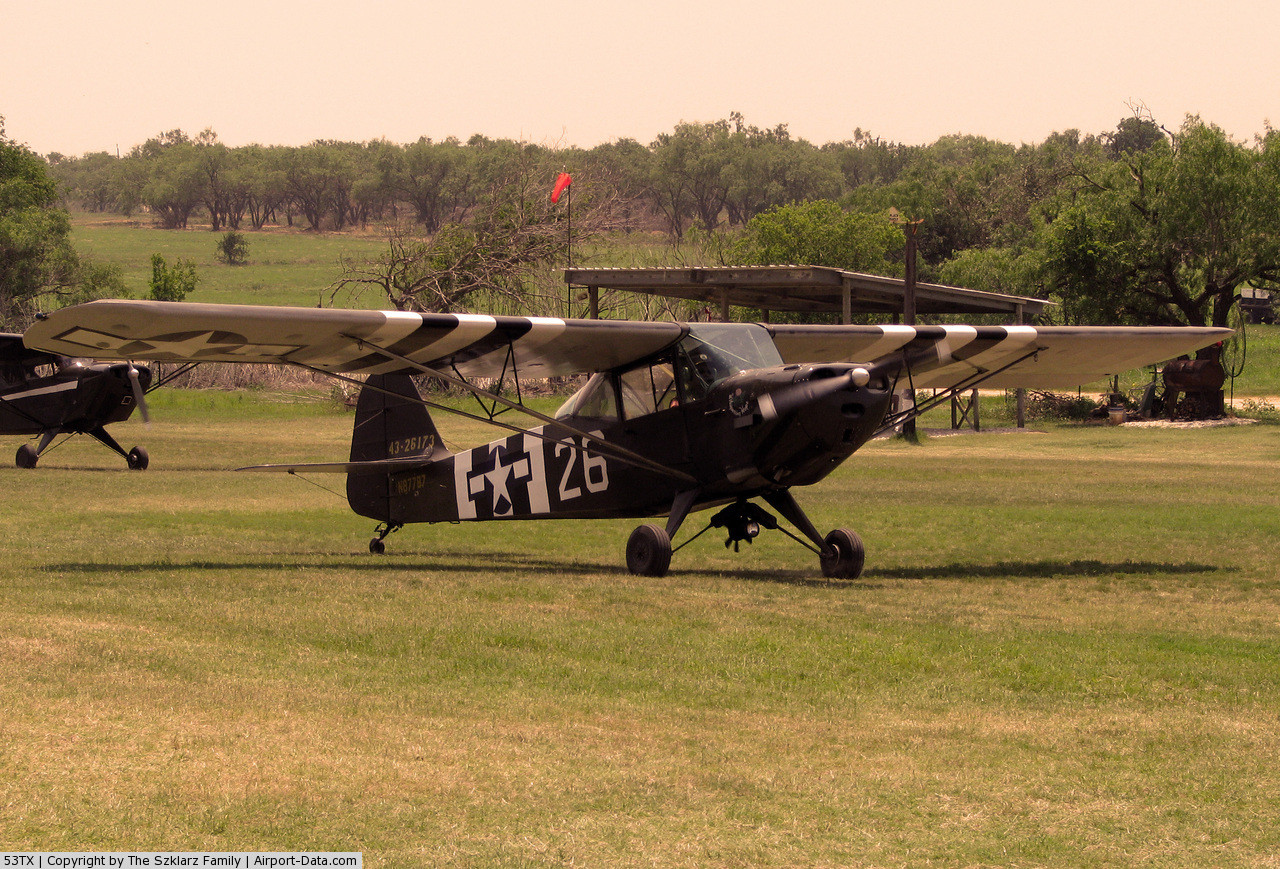
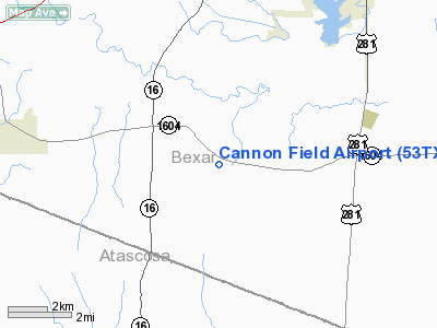
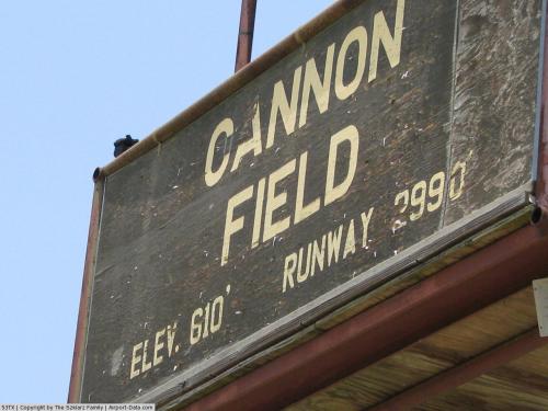
Cannon Field (IATA: 53TX), is a small private airport on the south side of San Antonio. It is located at the southwest corner of the intersection of Loop 1604 and Applewhite Road. The airport has one grass runway and its elevation is 610 feet (186 m) above sea level.
History
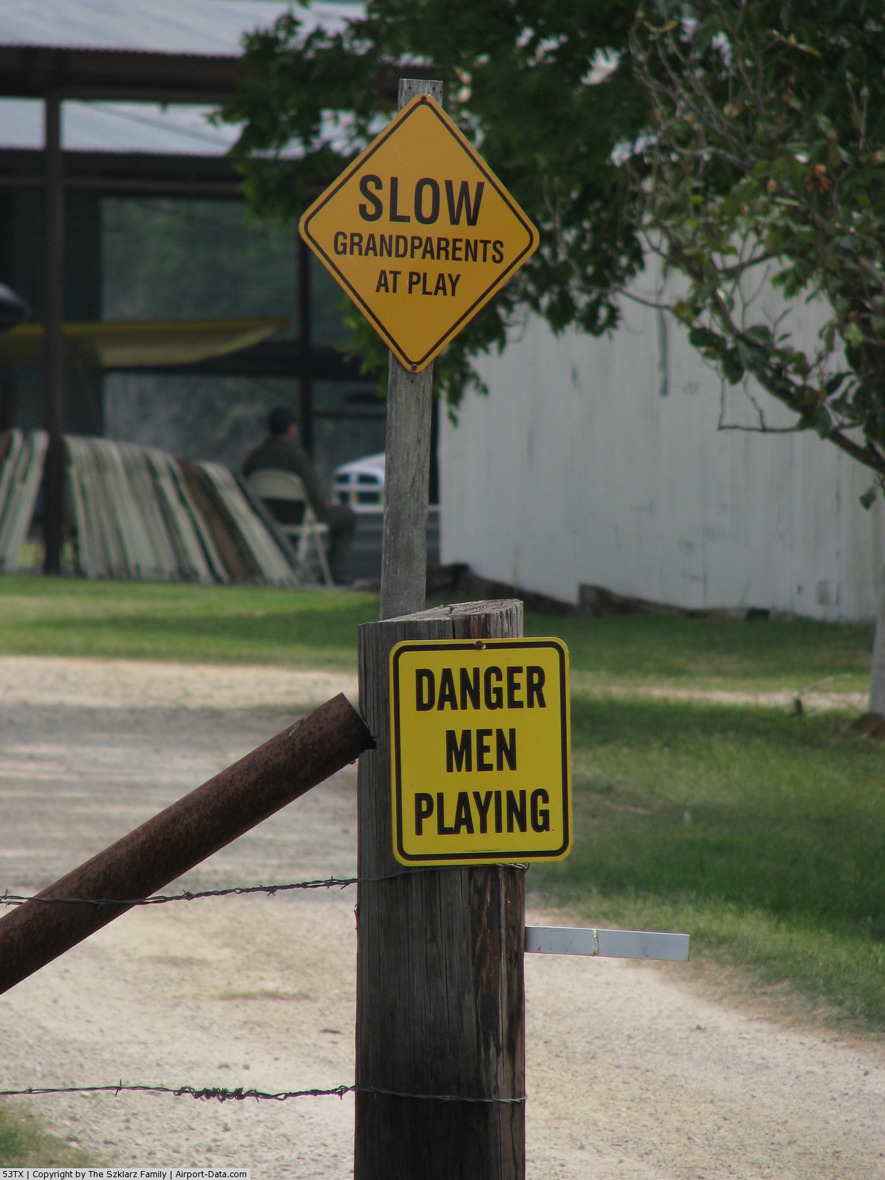
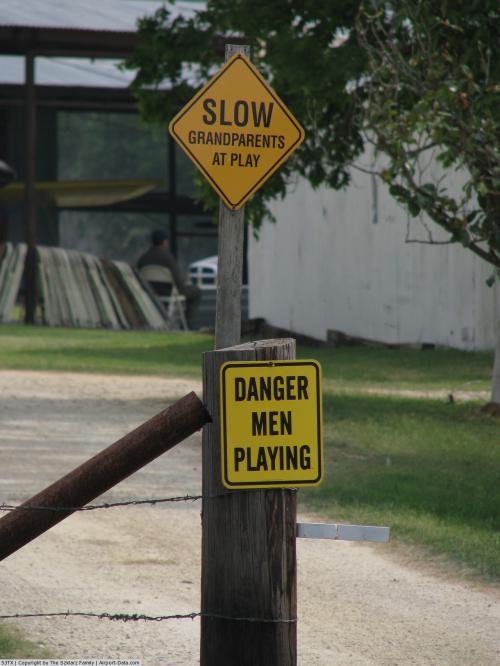
Cannon Field is the home of the Alamo Liaison Squadron. The squadron primarily restores, maintains, and flies WWII Liaison Aircraft from their home base on the field. The squadron hosts an annual picnic and welcomes visitors.
The above content comes from Wikipedia and is published under free licenses – click here to read more.
 |
(Click on the photo to enlarge) |
 |
(Click on the photo to enlarge) |
 |
(Click on the photo to enlarge) |
Location & QuickFacts
| FAA Information Effective: | 2008-09-25 |
| Airport Identifier: | 53TX |
| Airport Status: | Operational |
| Longitude/Latitude: | 098-32-58.0630W/29-12-57.8640N
-98.549462/29.216073 (Estimated) |
| Elevation: | 610 ft / 185.93 m (Estimated) |
| Land: | 0 acres |
| From nearest city: | 6 nautical miles E of Somerset, TX |
| Location: | Bexar County, TX |
| Magnetic Variation: | 07E (1985) |
Owner & Manager
| Ownership: | Privately owned |
| Owner: | Sarah Cannon |
| Address: | Rt 5, Box 388m
San Antonio, TX 78221 |
| Phone number: | 512-624-2226 |
| Manager: | Cannoln Field Committee |
| Address: | 2352 S. Loop 1604 W.
San Antonio, TX 78264-9512 |
| Phone number: | 512-624-2226 |
Airport Operations and Facilities
| Airport Use: | Private |
| Wind indicator: | Yes |
| Segmented Circle: | No |
| Control Tower: | No |
| Sectional chart: | San Antonio |
| Region: | ASW - Southwest |
| Boundary ARTCC: | ZHU - Houston |
| Tie-in FSS: | SJT - San Angelo |
| FSS Toll Free: | 1-800-WX-BRIEF |
Runway Information
Runway 13/31
| Dimension: | 2880 x 100 ft / 877.8 x 30.5 m |
| Surface: | TURF, |
| |
Runway 13 |
Runway 31 |
| Traffic Pattern: | Left | Right |
| Obstruction: | 30 ft pline, 500.0 ft from runway | |
|
Radio Navigation Aids
| ID |
Type |
Name |
Ch |
Freq |
Var |
Dist |
| PEZ | NDB | Pleasanton | | 275.00 | 07E | 15.8 nm |
| CVB | NDB | Castroville | | 338.00 | 08E | 17.5 nm |
| HHH | NDB | Devine | | 359.00 | 07E | 21.0 nm |
| HMA | NDB | Hondo | | 329.00 | 08E | 34.0 nm |
| ER | NDB | Shein | | 263.00 | 08E | 48.4 nm |
| KSY | TACAN | Kelly | 057X | | 07E | 10.7 nm |
| DHK | TACAN | Randolph | 036X | | 09E | 24.3 nm |
| SSF | VOR | Stinson | | 108.40 | 09E | 6.1 nm |
| HDO | VOR/DME | Hondo | 31X | 109.40 | 08E | 33.9 nm |
| RND | VORTAC | Randolph | 70X | 112.30 | 09E | 22.9 nm |
| SAT | VORTAC | San Antonio | 115X | 116.80 | 08E | 26.1 nm |
| THX | VORTAC | Three Rivers | 051X | 111.40 | 08E | 47.6 nm |
| SAT | VOT | San Antonio Intl | | 110.40 | | 19.5 nm |
Images and information placed above are from
http://www.airport-data.com/airport/53TX/
We thank them for the data!
| General Info
|
| Country |
United States
|
| State |
TEXAS
|
| FAA ID |
53TX
|
| Latitude |
29-12-57.864N
|
| Longitude |
098-32-58.063W
|
| Elevation |
610 feet
|
| Near City |
SOMERSET
|
We don't guarantee the information is fresh and accurate. The data may
be wrong or outdated.
For more up-to-date information please refer to other sources.
|
|